Plizio Visual Lab
Kugitangtau Range
Weather…
Water temperature…
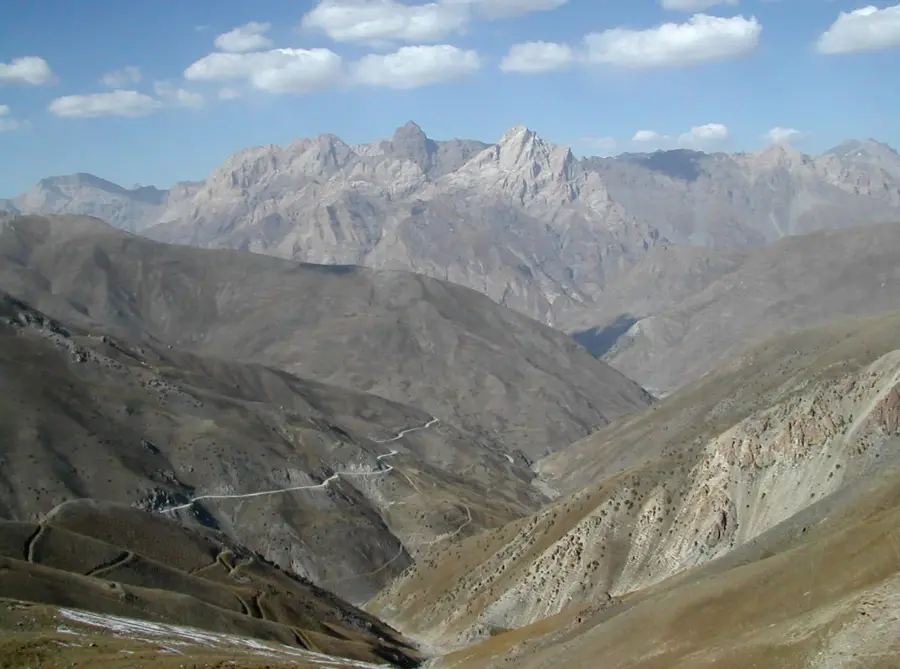
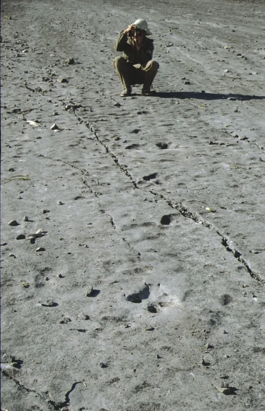
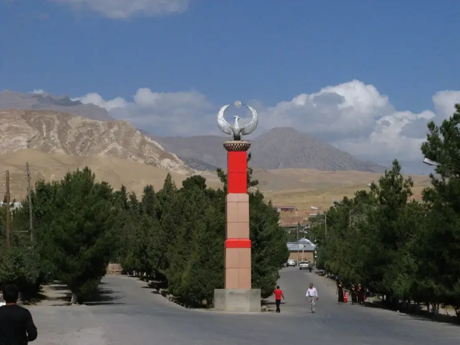
The Kugitangtau Range is a southwestern spur of the Gissar Mountains, defining the state border between Uzbekistan and Turkmenistan. Reaching a maximum altitude of 3,139 meters at Ayrybaba Peak, it is a dominant feature in the southern desert landscape. The range is internationally famous for its exceptional geological and paleontological treasures, most notably the 'Plateau of Dinosaurs' near Khojapil, which preserves hundreds of fossilized tracks from the Jurassic period. The landscape is characterized by extreme karst features, including some of the world's longest gypsum caves and deep vertical shafts. Open juniper forests grow at higher elevations, while deep canyons often feature perennial streams with small waterfalls. The region is a vital habitat for the rare Markhor goat. Historically and culturally, the mountains are steeped in local legends and contain several sacred sites, making them a significant location for both scientific research and spiritual pilgrimage.
- Location: Uzbekistan
- Nearby: Boysun (48 km)
Best time to visit & climate
The most pleasant time to visit is May, Jun, Sep.
| Jan | Feb | Mar | Apr | May | Jun | Jul | Aug | Sep | Oct | Nov | Dec | |
|---|---|---|---|---|---|---|---|---|---|---|---|---|
| Avg °C | 1 | 3 | 9 | 15 | 21 | 26 | 28 | 27 | 21 | 14 | 7 | 2 |
| Rain mm | 26 | 34 | 32 | 27 | 12 | 2 | 0 | 0 | 0 | 5 | 23 | 22 |
📋 Practical info
Geography
Facts
- The highest peak is Ayrybaba at 3,139 meters.
- Home to the world-famous Dinosaur Plateau.
- Features over 400 fossilized Jurassic dinosaur tracks.
- Contains some of the longest gypsum caves on Earth.
- Crucial sanctuary for the endangered Markhor goat.
- The range extends for approximately 100 kilometers.
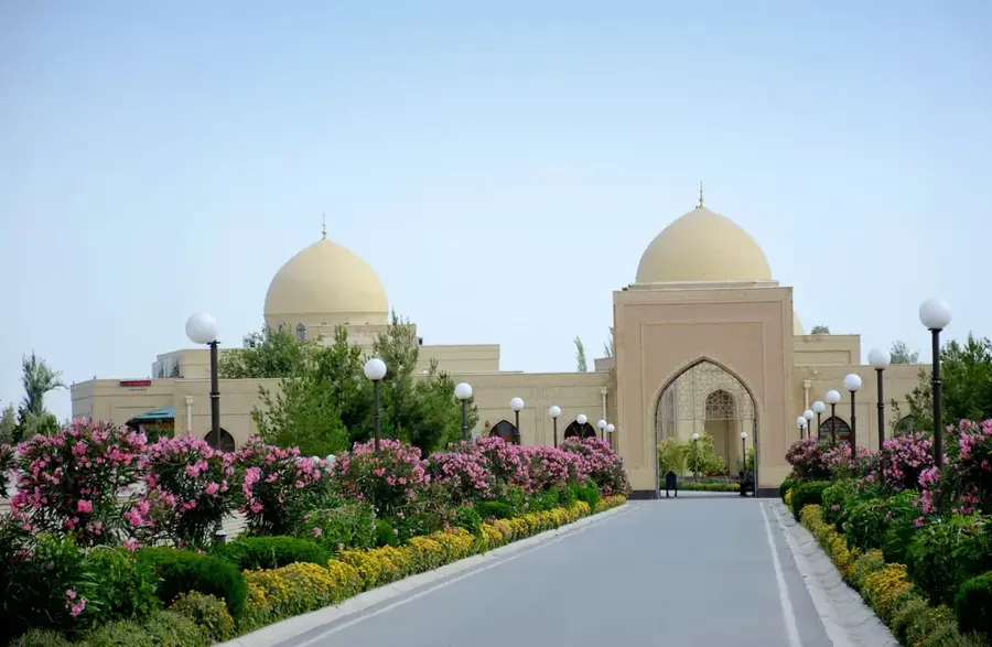
Explore nearby
Notable places around
Route planner — Car & Motorhome
Where do you start? We build the route here, with stops and country notes along the way.
© OpenStreetMap contributors · OpenRouteService
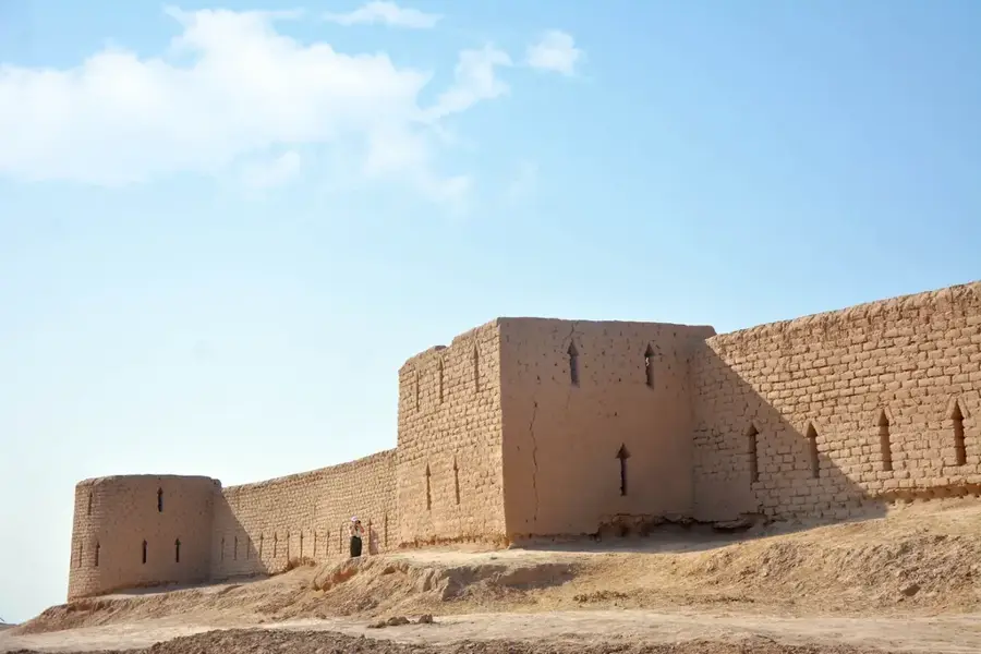
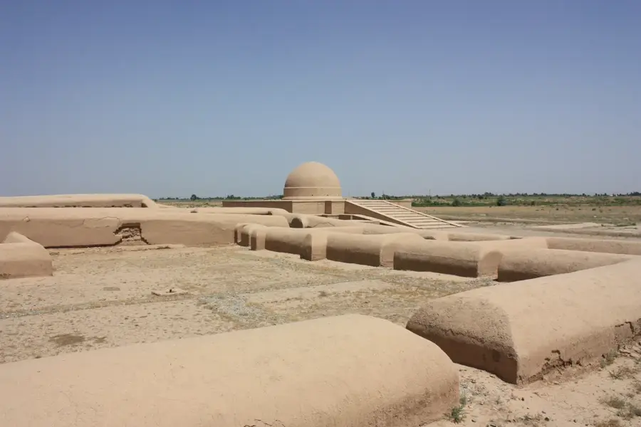
Sights in the town Kugitangtau Range (1)
Sights nearby
Frequently asked questions
Why is Kugitangtau known?
Can you visit the caves?
Is it a family destination?
Are there hiking trails there?
How is the travel?
Kugitangtau Range: where is it located?
Kugitangtau Range: when is the best time to visit?
Kugitangtau Range: why is it worth visiting?

Nearby cities
More places