Plizio Visual Lab
Kerki
ℹ️Practical info — Kerki
▾
🌤 Weather — 5 days
📍 Nearby
Sights nearby
💡 Tips
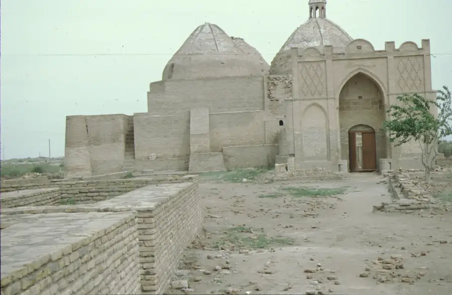
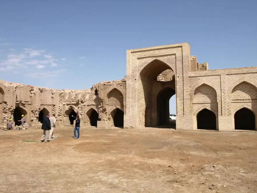
- The Astana-Baba mausoleum is a significant 12th-century pilgrimage site near the city.
- Take a relaxing evening walk along the scenic Amu Darya river promenade.
- The new Kerki airport makes visiting this remote eastern region much easier for travelers.
- Visit the Alamberdar mausoleum to admire the masterful 11th-century Seljuk brickwork.
- If visiting in August, don't miss the local Melon Festival on the second Sunday.
🍽 Food
Freshly caught fish straight from the Amu Darya river, often served at local stalls.
Traditional green tea served in small bowls known as pialas in local teahouses.
Meat-filled dough baked in a traditional clay tamdyr oven for a smoky flavor.
🛍 Shopping · 🧘 Quiet spots
The best place to find authentic handicrafts of the local Ersary tribe.
Look for traditional pieces like Gulyaka (brooches) or Bilezik (bracelets).
Hand-carved functional art reflecting the local oasis culture.
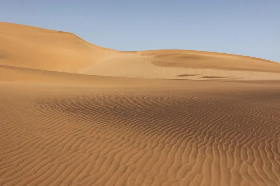
Peaceful views of the wide, silt-heavy Amu Darya river, especially at sunset.
Narrow streets in the old town featuring traditional mud-brick houses.
A breezy spot by the river offering relief from the heat and quiet picnic spots.
Water temperature…
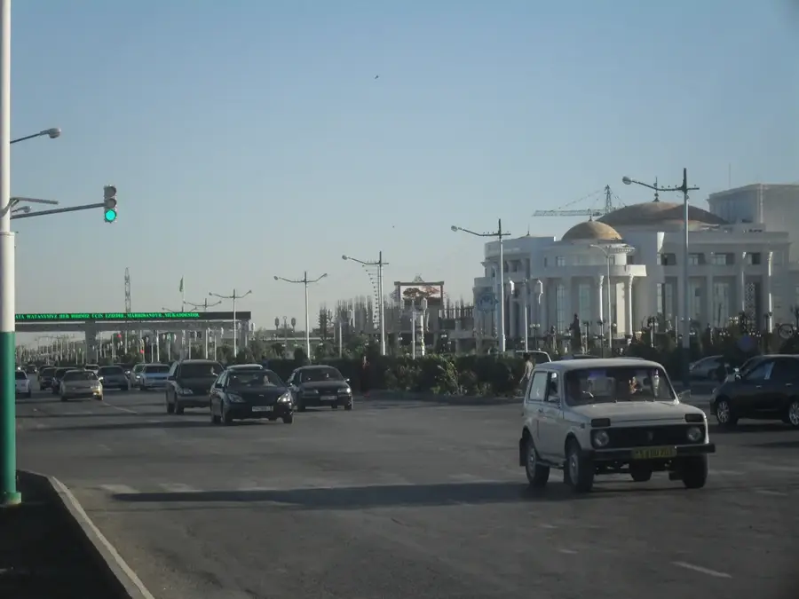
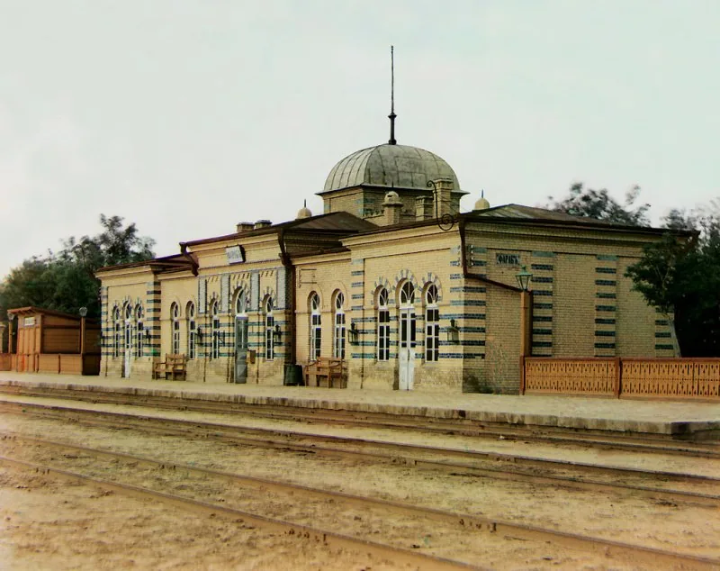
Kerki, known between 1999 and 2017 as Atamyrat, is a small town steeped in history in Lebap Region on the right bank of the Amu Darya, about 100 kilometres south-east of Türkmenabat. It has around 40,000 inhabitants and traces its origins back more than a thousand years: it was a junction on the Silk Road between Bukhara and Balkh and at times belonged to the Emirate of Bukhara. In the 19th century the Russian Empire built a fortress here, parts of whose walls still stand. The local economy revolves around cotton and rice cultivation, the processing of regional hides and an active river port on the Amu Darya. Nearby lie the sacred mausoleums of Astana Baba and Alamberdar, important pilgrimage sites for Sufi Muslims of the wider region.
- Location: Turkmenistan
- Population: ~33.242 (2026)
Best time to visit & climate
The most pleasant time to visit is Apr, Sep, Oct.
| Jan | Feb | Mar | Apr | May | Jun | Jul | Aug | Sep | Oct | Nov | Dec | |
|---|---|---|---|---|---|---|---|---|---|---|---|---|
| Avg °C | 4 | 6 | 13 | 19 | 26 | 31 | 33 | 30 | 24 | 17 | 10 | 4 |
| Rain mm | 28 | 35 | 31 | 25 | 10 | 2 | 1 | 0 | 0 | 5 | 20 | 23 |
Geography
Facts
- The city reverted to the name Kerki from Atamyrat in 2017
- Situated on the left bank of the Amu Darya river
- Known as Zamm during the height of the Silk Road era
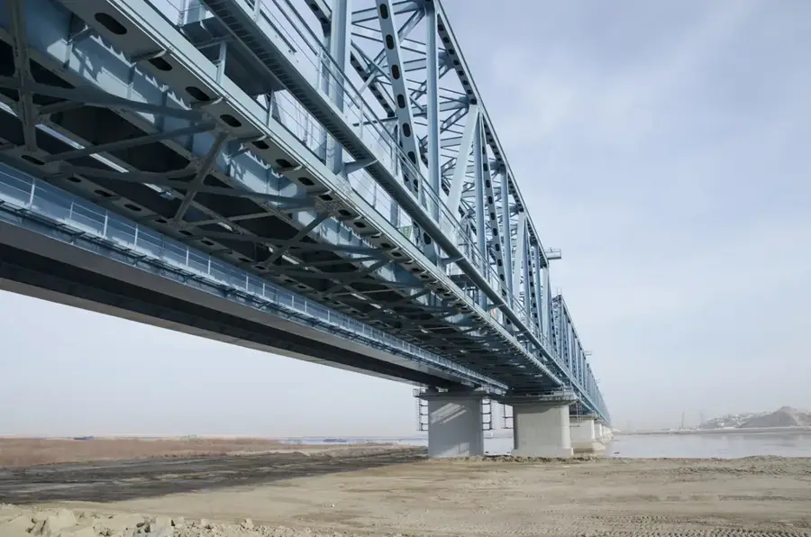
- Features a massive 1,414-meter long road and rail bridge
- Operates a regional airport for domestic Turkmen flights
- Administrative hub for a large cotton-producing district
Explore nearby
Notable places around
Route planner — Car & Motorhome
Where do you start? We build the route here, with stops and country notes along the way.
© OpenStreetMap contributors · OpenRouteService
Sights in the town Kerki (1)
Frequently asked questions
Where is Kerki located?
Is Kerki touristy?
What is nearby?
How is the weather?
What should be considered?
Kerki: where is it located?
Kerki: when is the best time to visit?
Kerki: why is it worth visiting?

Nearby cities


History & landmarks

Nature
More places