Plizio Visual Lab
Darganata
ℹ️Practical info — Darganata
▾
🌤 Weather — 5 days
📍 Nearby
Sights nearby
💡 Tips
- Check if you need special permits for the Lebap region before traveling as a foreigner.
- Visit the local bazaar in the early morning when farmers bring their freshest produce.
- Take a walk to the banks of the Amu Darya river to appreciate the vast landscape.
- Enjoy a green tea at a local teahouse (chaikhana) to experience traditional hospitality.
🍽 Food
This region is famous for the sweetest melons; buy them directly from roadside stalls.
Fresh flatbread baked in a clay oven (tandur), best bought directly from central bakeries.
Fish from the Amu Darya, usually fried and served in small local eateries near the river.
🛍 Shopping · 🧘 Quiet spots
The best place for cotton fabrics and small hand-woven items from local producers.
Here you can find dried fruits which are excellent for snacks during your trip.
Not a paved promenade, but a peaceful natural path along the great river.
The cotton and melon fields surrounding the settlement offer wide horizons and silence.
Water temperature…
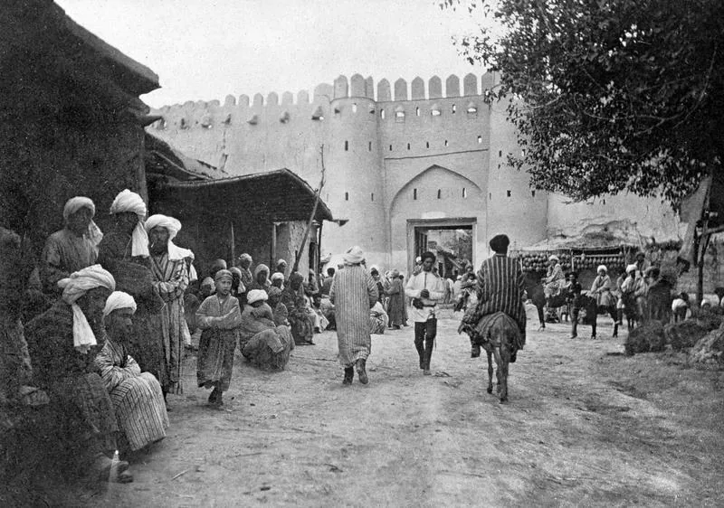
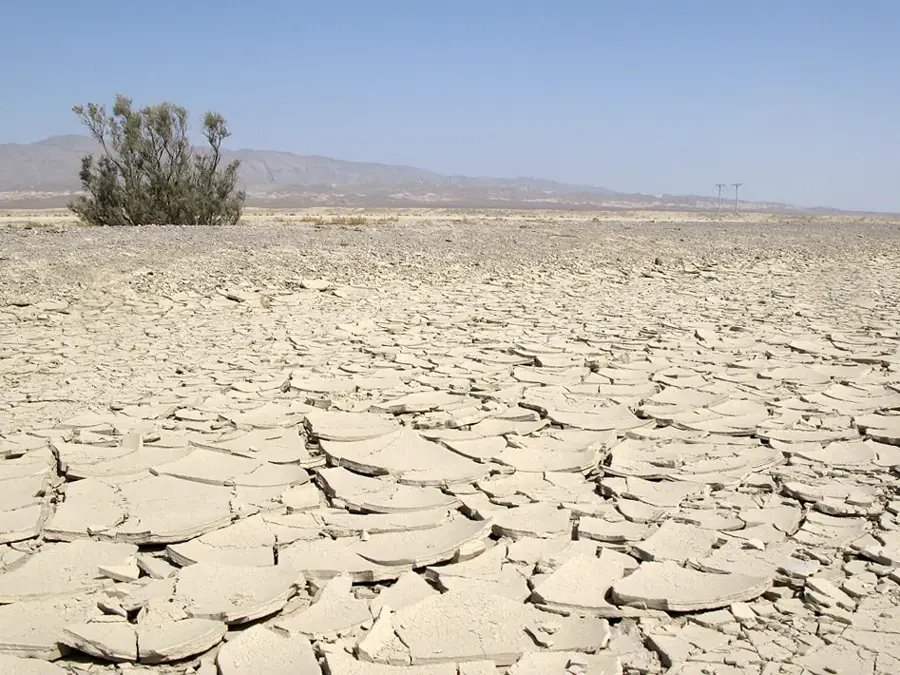
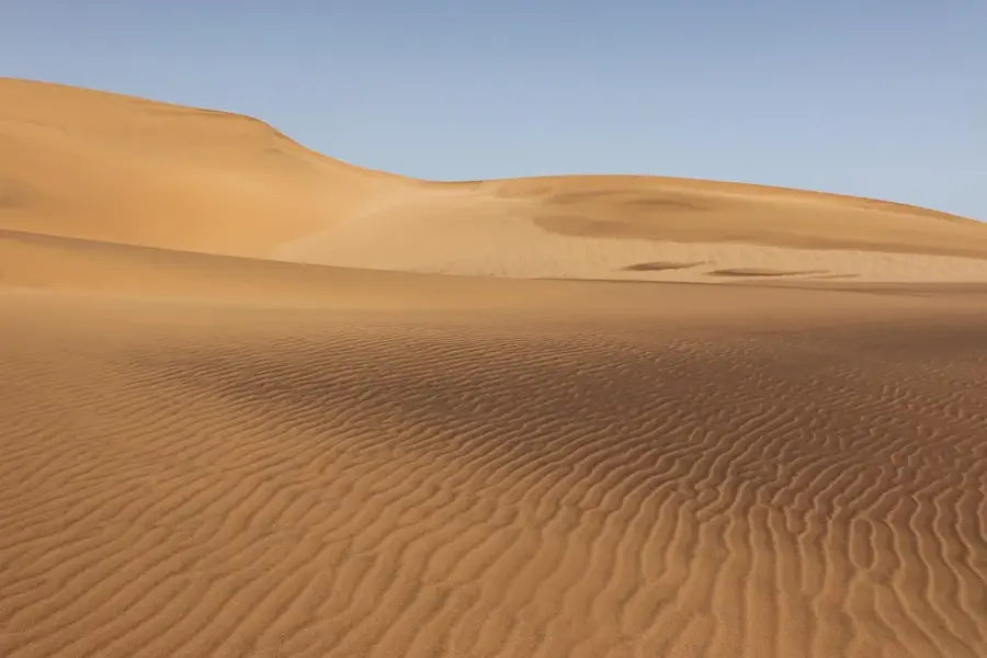
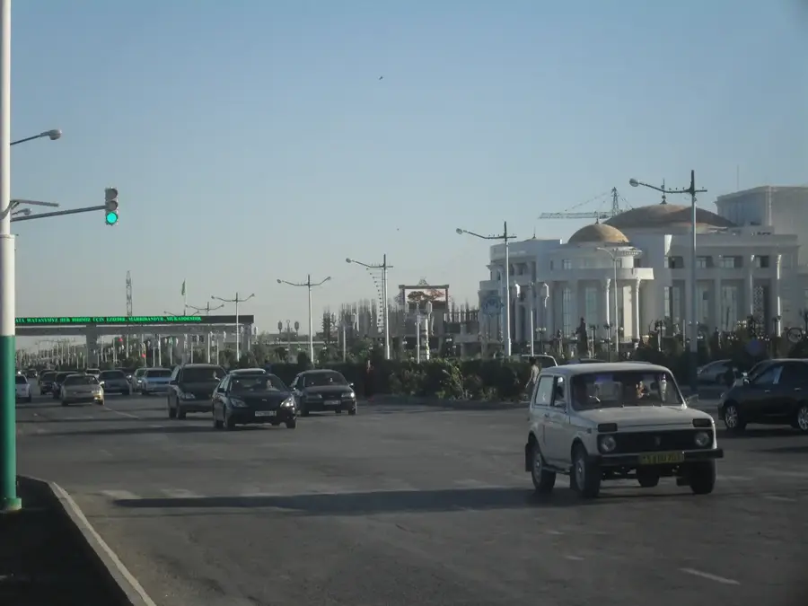
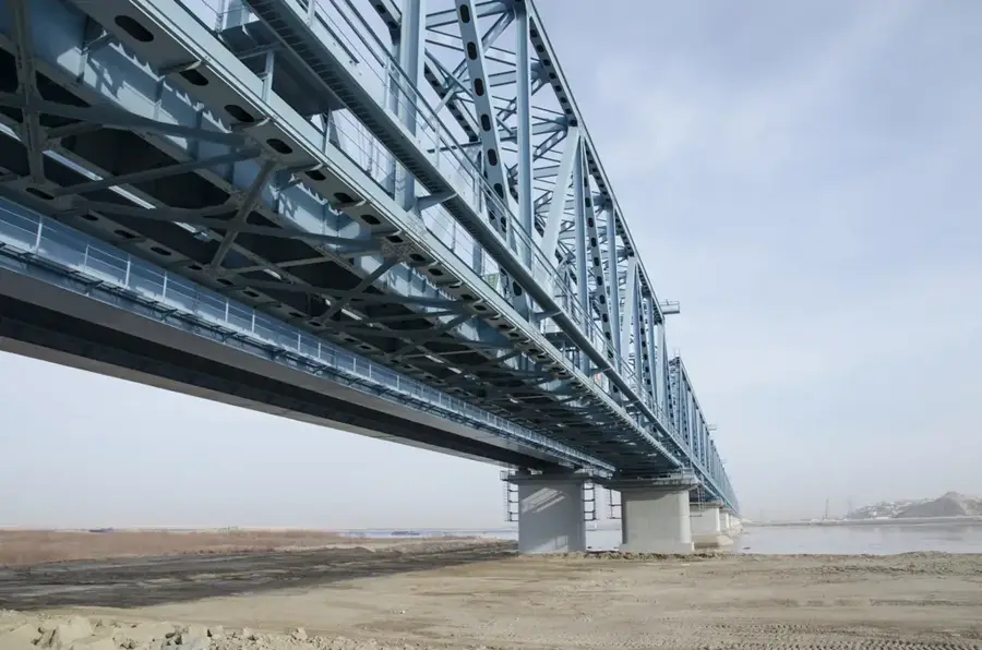
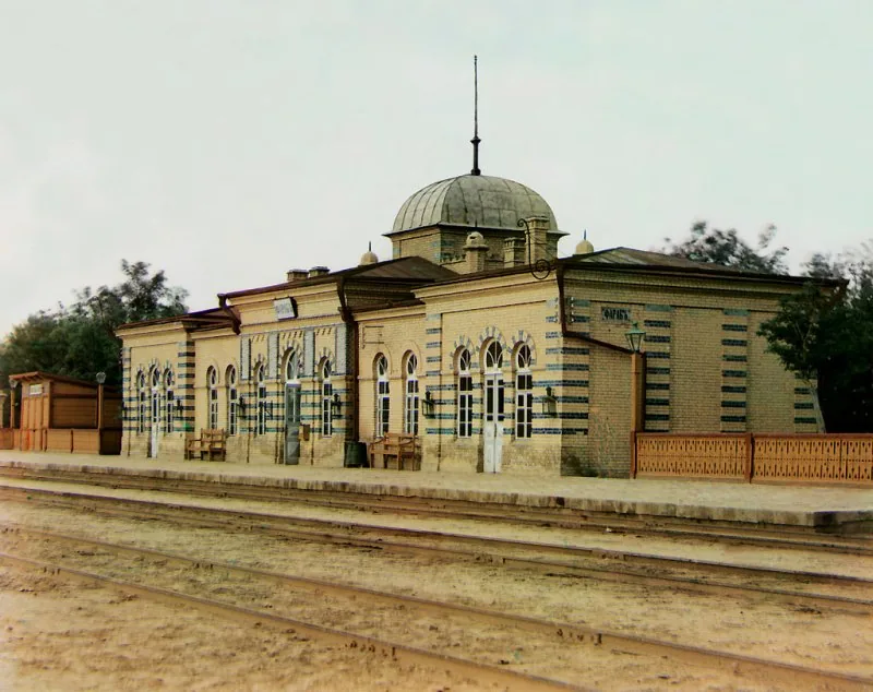
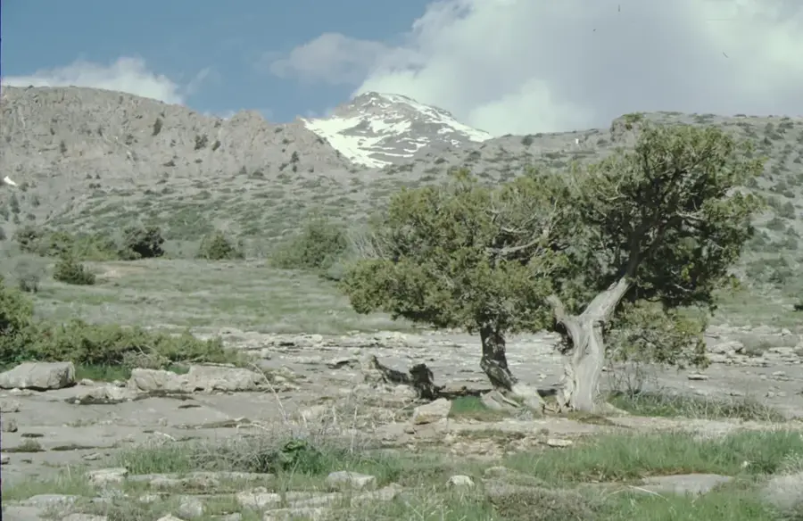
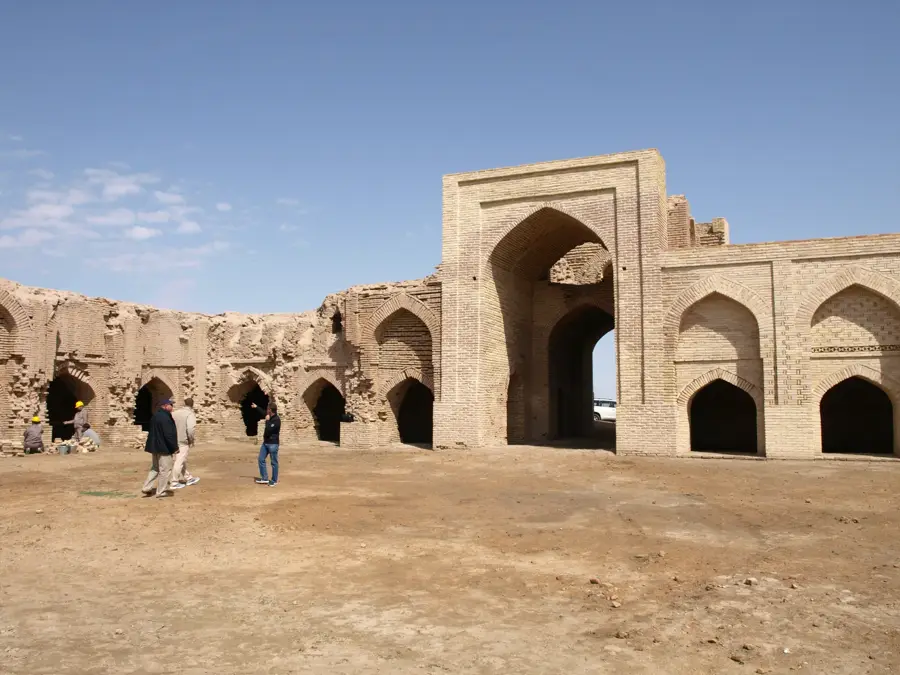
Darganata, known between 1992 and 2017 as Birata, is a small town on the left bank of the Amu Darya in Lebap Region, with around 14,000 inhabitants, lying about 200 kilometres north of Türkmenabat. It was founded in the Middle Ages as a fortress of the Khwarazm Empire, controlling a key crossing of the Amu Darya. Razed by the Mongols in the 13th century, it was later resettled and at times belonged to the Khanate of Khiva. The town stands on the edge of the Karakum, in a narrow oasis along the river, surrounded by extensive cotton fields and saxaul forests. Nearby lie the ruins of the medieval Daja-Khatyn caravanserai from the 11th century, a remarkably well-preserved mud-brick structure that today forms part of Turkmenistan's cultural heritage.
- Location: Turkmenistan
- Nearby: Seýdi (85 km)
Best time to visit & climate
The most pleasant time to visit is Apr, May, Sep.
| Jan | Feb | Mar | Apr | May | Jun | Jul | Aug | Sep | Oct | Nov | Dec | |
|---|---|---|---|---|---|---|---|---|---|---|---|---|
| Avg °C | -1 | 1 | 9 | 16 | 24 | 29 | 31 | 29 | 22 | 14 | 6 | 0 |
| Rain mm | 9 | 19 | 19 | 15 | 12 | 4 | 1 | 1 | 1 | 4 | 9 | 9 |
Geography
Facts
- The city's name was officially restored to Darganata from Birata in 2017.
- The Mausoleum of Abu Bakr al-Shibli is its most famous religious site.
- Darganata is located on the left bank of the Amu Darya river.
- The town was historically a key outpost of the Khanate of Khiva.
- It is situated more than 200 kilometers north of the provincial capital.
- Darganata serves as the administrative center for the Darganata District.
Explore nearby
Notable places around
Route planner — Car & Motorhome
Where do you start? We build the route here, with stops and country notes along the way.
© OpenStreetMap contributors · OpenRouteService
Frequently asked questions
How long to stay in Darganata?
When best to visit?
How to get to Darganata?
Are there local specialties?
Is Darganata family-friendly?
Darganata: where is it located?
Darganata: when is the best time to visit?
Darganata: why is it worth visiting?

Nearby cities

History & landmarks
Nature
More places