Plizio Visual Lab
Amu Darya

Weather…
Water temperature…
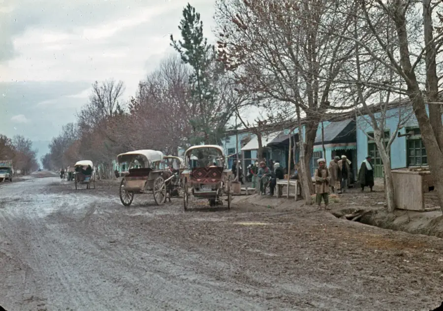
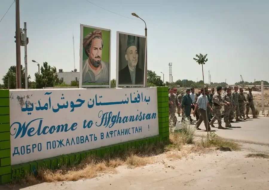
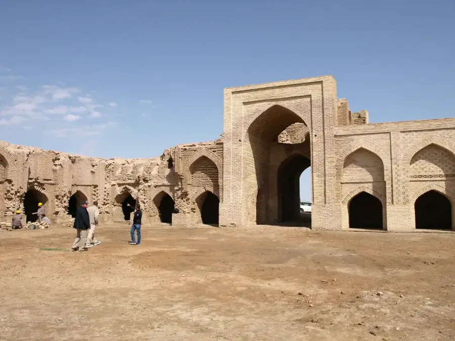
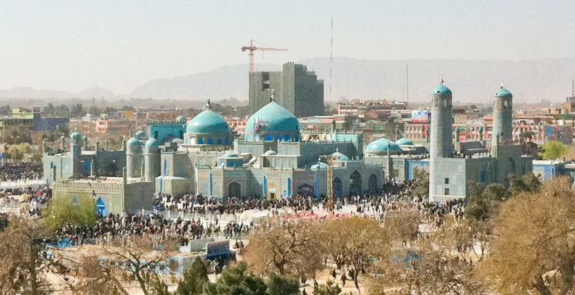
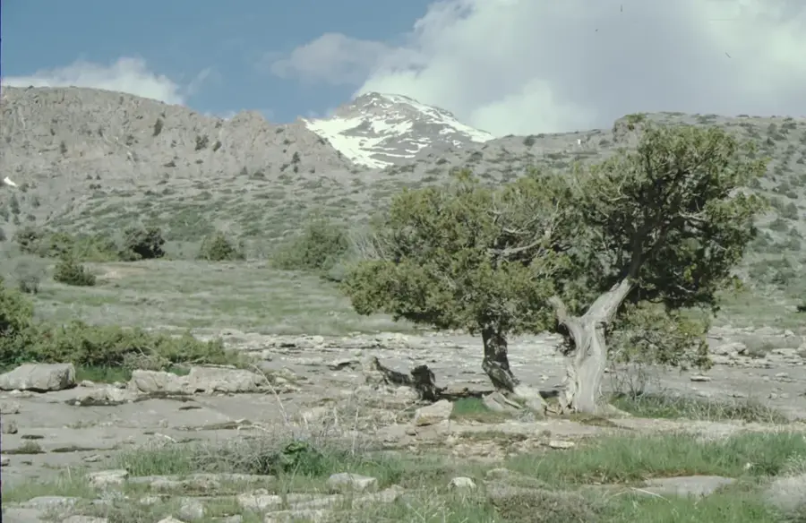
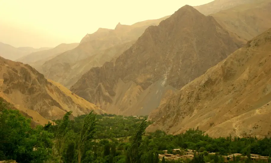
The Amu Darya, known in antiquity as the Oxus, is one of Central Asia's most significant rivers and forms much of Afghanistan's northern border with Tajikistan, Uzbekistan, and Turkmenistan. It is formed by the confluence of the Panj and Vakhsh rivers in the high Pamir Mountains. With a total length of over 2,400 kilometers, the river plays a vital role in regional agriculture and water supply. Historically, the Oxus often served as a frontier between vast empires and was the site of major historical events, including the campaigns of Alexander the Great. Today, the Amu Darya rarely reaches the Aral Sea, as its waters were heavily diverted for cotton irrigation during the Soviet era. In Afghanistan, water from the river is increasingly utilized for new infrastructure projects like the Qosh Tepa canal, which holds significant cross-border water policy implications. The flora and fauna along its banks, including the unique Tugai forests, represent ecologically valuable yet threatened ecosystems.
Best time to visit & climate
The most pleasant time to visit is Apr, Sep, Oct.
| Jan | Feb | Mar | Apr | May | Jun | Jul | Aug | Sep | Oct | Nov | Dec | |
|---|---|---|---|---|---|---|---|---|---|---|---|---|
| Avg °C | 5 | 7 | 13 | 19 | 26 | 31 | 33 | 31 | 25 | 18 | 11 | 6 |
| Rain mm | 26 | 33 | 30 | 23 | 10 | 1 | 0 | 0 | 0 | 4 | 23 | 21 |
📋 Practical info
Geography
Facts
- The Amu Darya is the most water-abundant river in Central Asia.
- The ancient name 'Oxus' is derived from a Bactrian word meaning 'river'.
- The total length of the river is approximately 2,414 kilometers (including source rivers).
- The river carries vast amounts of sediment, giving it a characteristic murky yellowish color.
- The city of Termez, one of the oldest in the region, is located on its banks.
- In particularly harsh winters, the lower reaches of the Amu Darya can partially freeze over.
Explore nearby
Notable places around
Route planner — Car & Motorhome
Where do you start? We build the route here, with stops and country notes along the way.
© OpenStreetMap contributors · OpenRouteService
Sights in the town Amu Darya (1)
Sights nearby
Frequently asked questions
What is the Amu Darya?
Can you travel along the river?
Why is the Amu Darya important?
When is the best time to see it?
Is there tourist infrastructure?
Amu Darya: where is it located?
Amu Darya: when is the best time to visit?
Amu Darya: why is it worth visiting?

Nearby cities
More places