Plizio Visual Lab
Amu Darya

Weather…
Water temperature…
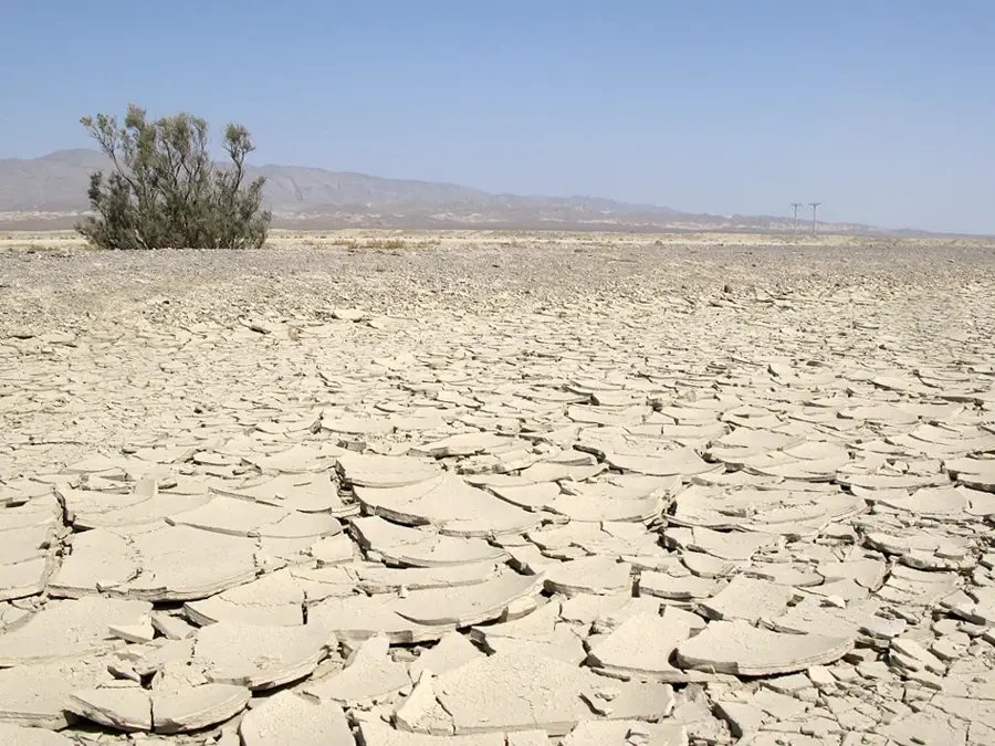
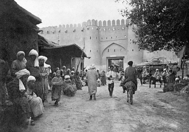
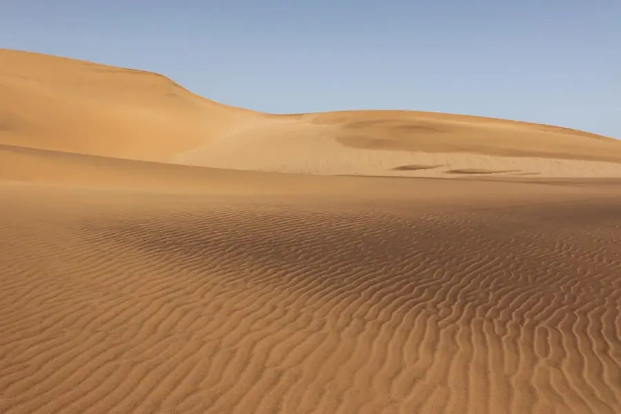
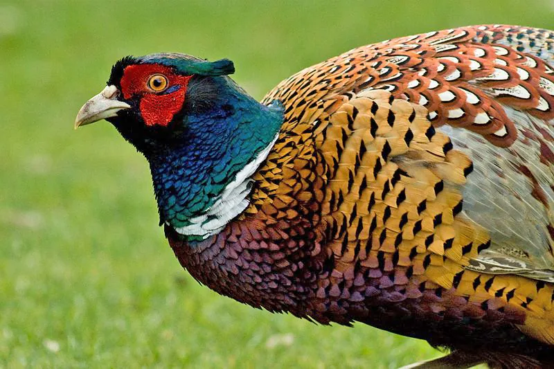
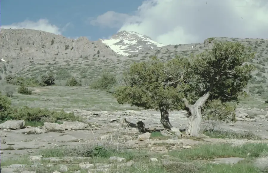
The Amu Darya is one of Central Asia's most significant rivers, playing a vital role in the agriculture and ecology of Turkmenistan. Historically known as the Oxus, the river originates in the Pamir Mountains and flows for over 2,400 kilometers toward the Aral Sea basin. Within Turkmenistan, the river forms a substantial portion of the border with Uzbekistan and serves as the primary water source for the Karakum Canal, one of the world's largest irrigation projects. Geographically, the river traverses vast desert regions, creating fertile oases that have been settled since ancient times. The riparian ecosystems along the river, known as tugai forests, provide a habitat for a diverse array of birds and endangered species such as the Bukhara deer. However, the heavy diversion of water for cotton cultivation has led to significant ecological challenges and the dramatic shrinkage of the Aral Sea. Contemporary management strategies aim to balance agricultural demands with the preservation of the river's natural landscape. Culturally, the Amu Darya is celebrated in countless regional legends and classical literary works.
- Location: Turkmenistan
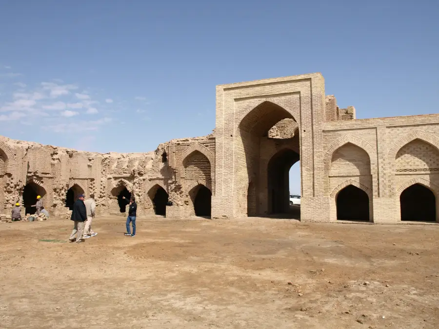
- Top sights: Hoca Meshet · Bazaar No. 5 · Lebap Province General Bazaar
- Nearby: Türkmenabat (8 km)
Best time to visit & climate
The most pleasant time to visit is Apr, May, Sep.
| Jan | Feb | Mar | Apr | May | Jun | Jul | Aug | Sep | Oct | Nov | Dec | |
|---|---|---|---|---|---|---|---|---|---|---|---|---|
| Avg °C | 2 | 4 | 11 | 18 | 26 | 31 | 32 | 30 | 24 | 16 | 8 | 2 |
| Rain mm | 19 | 27 | 25 | 20 | 12 | 2 | 0 | 0 | 0 | 4 | 14 | 15 |
📋 Practical info
Geography
Facts
- The Amu Darya is the longest river in Central Asia, stretching over 2,400 km.
- In antiquity, the river marked the boundary between Persia and Turan.
- The Karakum Canal diverts billions of cubic meters of water from the river annually.
- Annual discharge fluctuates based on the rate of glacier melt in the Pamirs.
- The river is noted for its heavy sediment load and frequently shifting bed.
- The Amu Darya Nature Reserve is dedicated to protecting rare tugai ecosystems.
Explore nearby
Notable places around
Route planner — Car & Motorhome
Where do you start? We build the route here, with stops and country notes along the way.
© OpenStreetMap contributors · OpenRouteService
Sights in the town Amu Darya (3)
Sights nearby
Frequently asked questions
Can the Amu Darya river be used for tourism?
Where is the river most beautiful?
Are there dangerous currents?
What equipment is important?
Is it possible to camp nearby?
Amu Darya: where is it located?
Amu Darya: what is there to see?
Amu Darya: when is the best time to visit?
Amu Darya: why is it worth visiting?

Nearby cities


History & landmarks
More places