Plizio Visual Lab
Köýtendag Range
Weather…
Water temperature…
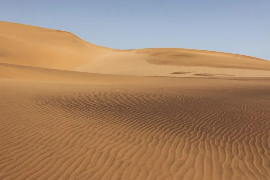
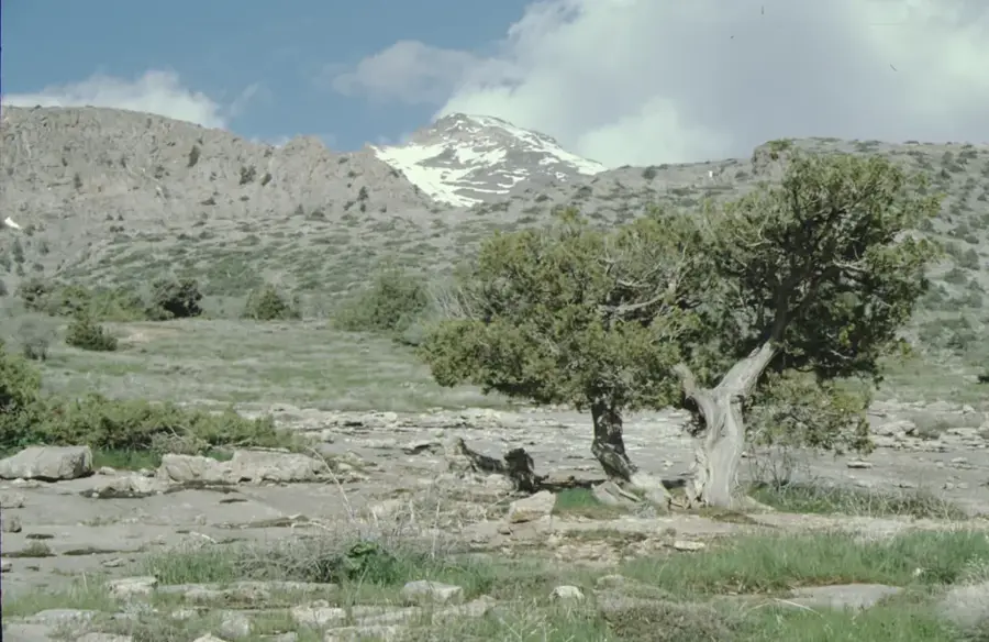
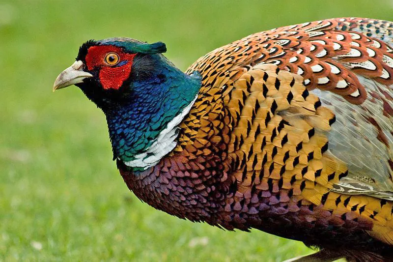
The Köýtendag Range, also known as Kugitangtau, is a mountain range in eastern Turkmenistan, forming part of the border with Uzbekistan. It runs roughly north-south for about 200 km and reaches its highest point at Ayrybaba (3,138 m). Geologically, the range consists of Jurassic and Cretaceous limestones, dolomites, and sandstones, with significant karst formations, including caves like Karlyuk and Kap-Kotan. The latter contains the world's largest known gypsum cave. The area is ecologically important, hosting a unique montane ecosystem with endemic species such as the Koytendag mountain lizard. The range also holds substantial mineral deposits, including sulfur, lead, and zinc. Conservation efforts include the Köýtendag State Reserve, established in 1986, which covers 271 km².
- Location: Turkmenistan
- Nearby: Koytendag (6 km)
Best time to visit & climate
The most pleasant time to visit is May, Aug, Sep.
| Jan | Feb | Mar | Apr | May | Jun | Jul | Aug | Sep | Oct | Nov | Dec | |
|---|---|---|---|---|---|---|---|---|---|---|---|---|
| Avg °C | 2 | 4 | 10 | 16 | 22 | 27 | 29 | 27 | 22 | 15 | 8 | 3 |
| Rain mm | 27 | 34 | 33 | 29 | 12 | 2 | 0 | 0 | 0 | 5 | 23 | 23 |
📋 Practical info
Geography
Facts
- Highest peak: Ayrybaba at 3,138 meters above sea level.
- The range extends 200 km in length and up to 50 km in width.
- The Köýtendag State Reserve, established in 1986, covers 271 km².
- Kap-Kotan Cave is the largest gypsum cave in the world, with a volume of over 1.5 million m³.
- The area hosts over 100 endemic plant species.
- Annual precipitation at higher elevations exceeds 600 mm.
Explore nearby
Notable places around
Route planner — Car & Motorhome
Where do you start? We build the route here, with stops and country notes along the way.
© OpenStreetMap contributors · OpenRouteService
Sights nearby
Frequently asked questions
What does the Köýtendag range offer?
How difficult are the hikes?
What is the best season?
Are there parking options?
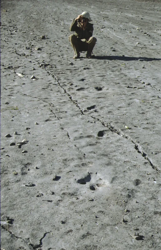
Are the dinosaur tracks clearly visible?
Köýtendag Range: where is it located?
Köýtendag Range: when is the best time to visit?
Köýtendag Range: why is it worth visiting?

Nearby cities
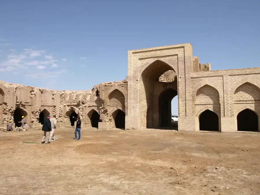
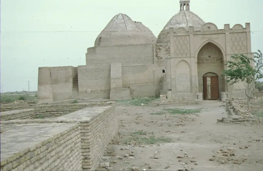
History & landmarks

Nature
More places