Plizio Visual Lab
Sumbar Valley

Weather…
Water temperature…
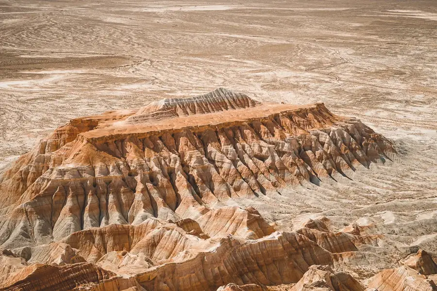
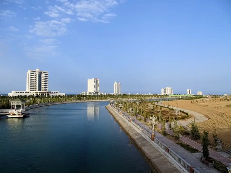
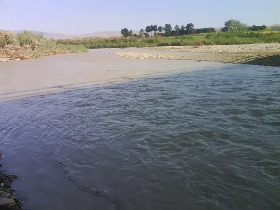
The Sumbar Valley is located in southwestern Turkmenistan, located within the folds of the Kopet Dag Mountains, and is famous for its mild subtropical microclimate. Enclosed by high ridges that block cold polar air masses, the valley remains significantly warmer than the surrounding desert regions. This environmental advantage supports the growth of diverse crops such as pomegranates, olives, and grapes, making it a primary agricultural zone. The Sumbar River carves through sedimentary layers of marl and limestone, creating deep gorges and distinctive erosion patterns known as the Lunar Mountains. Historically, the valley served as a crucial passage for ancient trade and nomadic movements between Iran and Central Asia. The administrative hub is the town of Magtymguly, named after the revered Turkmen poet who drew inspiration from its landscapes. Due to its biodiversity, the valley is home to many endemic plant species and is a priority area for ecological preservation. It remains a vital green oasis in an otherwise arid national landscape.
- Location: Turkmenistan
- Nearby: Serdar (53 km)
Best time to visit & climate
The most pleasant time to visit is May, Sep, Oct.
| Jan | Feb | Mar | Apr | May | Jun | Jul | Aug | Sep | Oct | Nov | Dec | |
|---|---|---|---|---|---|---|---|---|---|---|---|---|
| Avg °C | 4 | 5 | 10 | 16 | 23 | 28 | 30 | 29 | 24 | 17 | 9 | 5 |
| Rain mm | 16 | 28 | 33 | 28 | 18 | 4 | 6 | 6 | 3 | 11 | 20 | 18 |
📋 Practical info
Geography
Facts
- The Sumbar River flows for approximately 245 kilometers.
- The valley is the primary producer of pomegranates in Turkmenistan.
- Surrounding ridges protect the area from cold northern winds.
- The local badlands are famously called the Lunar Mountains.
- The town of Magtymguly is the administrative center.
- The valley supports over 1,000 distinct plant species.
Explore nearby
Notable places around
Route planner — Car & Motorhome
Where do you start? We build the route here, with stops and country notes along the way.
© OpenStreetMap contributors · OpenRouteService
Sights nearby
Frequently asked questions
What is special about the Sumbar Valley?
Is it suitable for tourists?
What fruits grow there?
Can one hike there?
How to get there?
Sumbar Valley: where is it located?
Sumbar Valley: when is the best time to visit?
Sumbar Valley: why is it worth visiting?

Nearby cities

History & landmarks
Nature
More places