Plizio Visual Lab
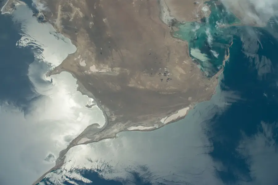
Garabogazköl Coast
Weather…
Water temperature…
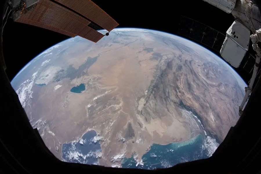
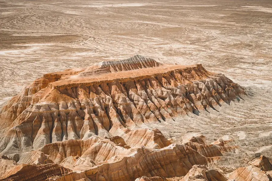
The Garabogazköl Coast in northwestern Turkmenistan lines a hypersaline lagoon that ranks as one of the saltest water bodies on Earth. Connected to the Caspian Sea by a mere 200-meter wide channel, the basin acts as a massive natural evaporation pan where minerals like mirabilite and sodium sulfate precipitate in vast quantities. The coastline is defined by stark white salt crusts and a desert landscape that appears almost extraterrestrial due to the lack of vegetation. In 1980, Soviet engineers blocked the inlet to prevent Caspian water loss, leading to the rapid desiccation of the lagoon and creating a regional ecological crisis. The channel was reopened in 1992, restoring the water levels and the local mineral harvesting industry. Currently, the region is a vital hub for the chemical industry, supplying raw materials for glass and paper production. The unique geochemical environment makes it a focal point for scientific studies on evaporative mineral formation and regional climate impact.
Best time to visit & climate
The most pleasant time to visit is May, Sep, Oct.
| Jan | Feb | Mar | Apr | May | Jun | Jul | Aug | Sep | Oct | Nov | Dec | |
|---|---|---|---|---|---|---|---|---|---|---|---|---|
| Avg °C | 2 | 3 | 9 | 15 | 23 | 29 | 32 | 31 | 25 | 16 | 8 | 3 |
| Rain mm | 10 | 10 | 16 | 19 | 10 | 5 | 5 | 1 | 4 | 8 | 14 | 10 |
📋 Practical info
Geography
Facts
- Water salinity levels reach up to 350 parts per thousand.
- The inlet connecting to the Caspian Sea is only 200 meters wide.
- The lagoon is the world's largest natural source of sodium sulfate.
- A man-made dam caused the lagoon to almost entirely dry up in 1980.
- The basin covers a total surface area of about 18,000 square kilometers.
- Mirabilite crystals naturally precipitate along the shores during winter.
Explore nearby
Notable places around
Route planner — Car & Motorhome
Where do you start? We build the route here, with stops and country notes along the way.
© OpenStreetMap contributors · OpenRouteService
Sights nearby
Frequently asked questions
What is the Gara-Bogas-Gol coast?
Is the area developed for tourism?
Can one swim there?
What is the appeal of the region?
Is photography allowed?
Garabogazköl Coast: where is it located?
Garabogazköl Coast: when is the best time to visit?
Garabogazköl Coast: why is it worth visiting?

Nearby cities

History & landmarks
Nature
More places