Plizio Visual Lab
Chandyr River

Weather…
Water temperature…
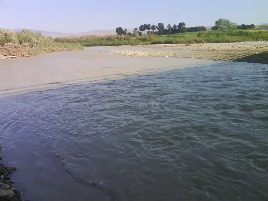
The Chandyr River is a left-bank tributary of the Sumbar River, flowing through southwestern Turkmenistan and northern Iran. It runs parallel to the Sumbar Valley, separated from it by a high mountain ridge of the Kopet Dag range. The landscape along the Chandyr is defined by arid mountain slopes and narrow, fertile alluvial strips adjacent to the riverbed. Historically, the Chandyr Valley served as a strategic corridor for trade caravans and cultural exchange between local tribes. The river is primarily fed by seasonal rainfall and melting snow from the surrounding peaks, leading to peak discharge during the spring months. Archaeological discoveries in the area indicate that the valley has been inhabited since ancient times due to its water resources. While less lush than the Sumbar Valley, it supports resilient shrublands and scattered trees that provide critical habitat for local wildlife. Today, the river is the mainstay for local rural communities engaged in livestock herding and small-scale farming.
- Location: Turkmenistan
- Nearby: Bereket (70 km)
📋 Practical info
Geography
Facts
- The Chandyr River spans a total length of roughly 120 kilometers.
- It joins the Sumbar River as its primary left-bank tributary.
- The valley is home to several ancient burial mounds known as kurgans.
- Hydrological records show that spring floods are common in early April.
- The river basin is shared between Turkmenistan and the Islamic Republic of Iran.
- Natural vegetation consists mainly of drought-resistant shrubs and grasses.
Explore nearby
Notable places around
Route planner — Car & Motorhome
Where do you start? We build the route here, with stops and country notes along the way.
© OpenStreetMap contributors · OpenRouteService
Sights nearby
Frequently asked questions
What is the Tschandyr River?
Is it recommended for hikers?
What is the water quality like?
Are there wild animals there?
Is a GPS device needed?
Chandyr River: where is it located?
Chandyr River: why is it worth visiting?

Nearby cities
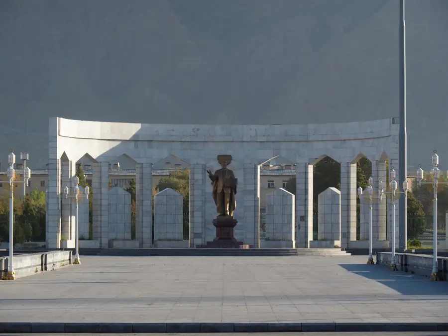


History & landmarks
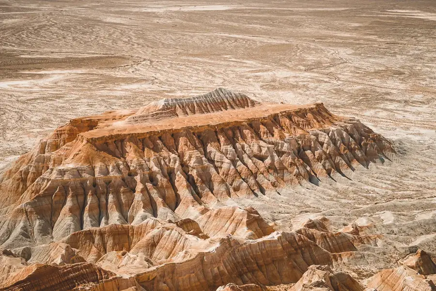
Nature

More places