Plizio Visual Lab
Atrek River
Weather…
Water temperature…
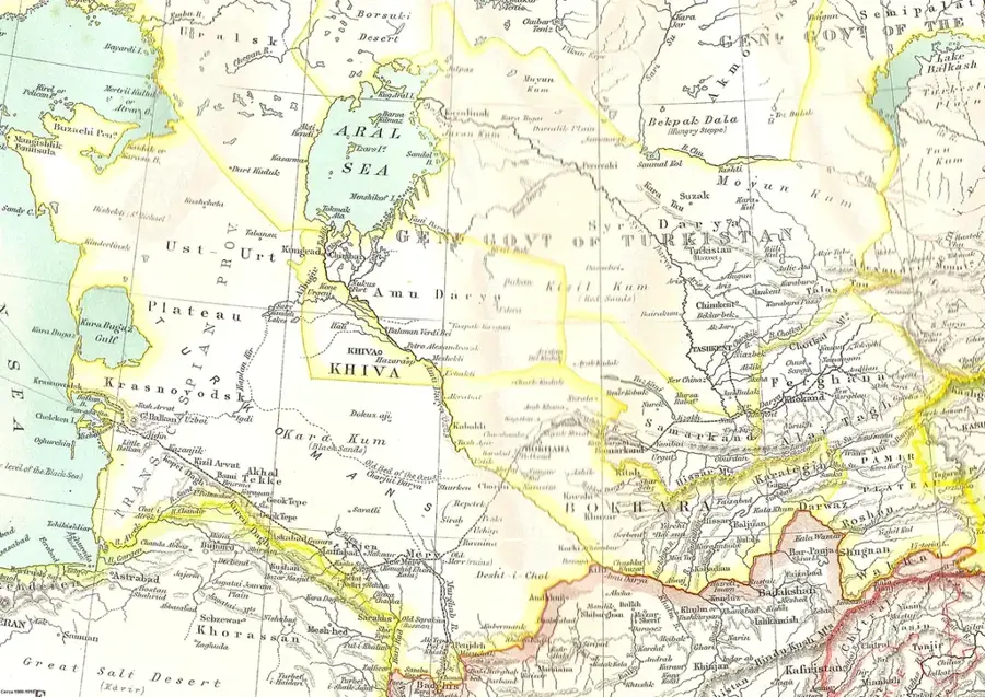
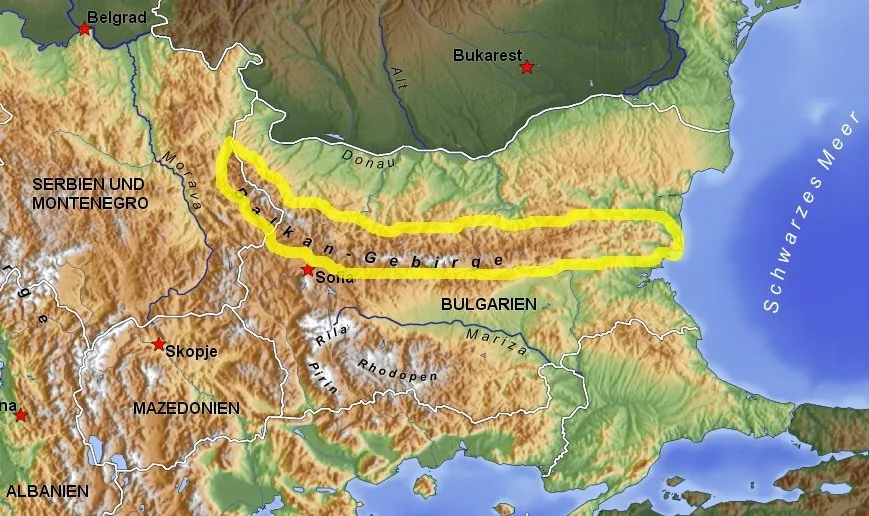
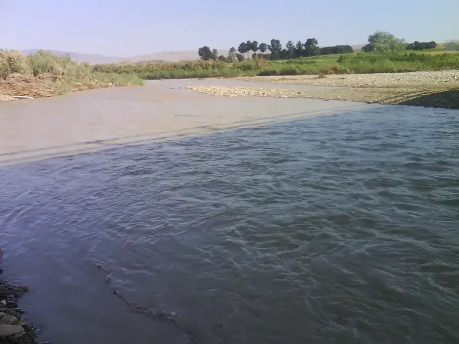
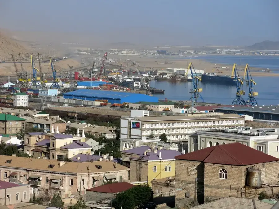
The Atrek River is a prominent waterway in Western Asia, originating in northeastern Iran and flowing for approximately 669 kilometers into the Caspian Sea. It holds the distinction of being the only river to reach the Caspian Sea from Turkmen territory, with its lower course serving as the natural border between Iran and Turkmenistan. The river's flow is marked by extreme variability, primarily due to heavy extraction for irrigation and inconsistent precipitation in the Kopet Dag mountains. In dry years, the Atrek often fails to reach the sea coast as its entire volume is diverted into irrigation canals for agriculture. Geographically, the river is divided into the mountainous upper course in Iran and the flat lower course in the Turkmen lowlands. The delta region is a critical stopover for migratory birds and supports unique flora adapted to the saline soils of the coastal environment.
Best time to visit & climate
The most pleasant time to visit is May, Sep, Oct.
| Jan | Feb | Mar | Apr | May | Jun | Jul | Aug | Sep | Oct | Nov | Dec | |
|---|---|---|---|---|---|---|---|---|---|---|---|---|
| Avg °C | 7 | 8 | 11 | 16 | 22 | 27 | 29 | 30 | 26 | 20 | 13 | 9 |
| Rain mm | 22 | 27 | 30 | 25 | 12 | 6 | 7 | 9 | 10 | 23 | 33 | 23 |
📋 Practical info
Geography
Facts
- The total length of the Atrek River is 669 kilometers.
- The river's drainage basin covers approximately 27,300 square kilometers.
- It is the only river in Turkmenistan that discharges into the Caspian Sea.
- The average discharge at the mouth is approximately 9 cubic meters per second.
- The river defines the Iran-Turkmenistan border for nearly 150 kilometers.
- High sediment load is a characteristic feature due to erosion in the headwaters.
Explore nearby
Notable places around
Route planner — Car & Motorhome
Where do you start? We build the route here, with stops and country notes along the way.
© OpenStreetMap contributors · OpenRouteService
Sights nearby
Frequently asked questions
Is the Atrak river a tourist destination?
What makes the area interesting?
Are there tourist accommodations there?
What is the danger in this area?
When should one visit the area?
Atrek River: where is it located?
Atrek River: when is the best time to visit?
Atrek River: why is it worth visiting?

Nearby cities


History & landmarks
Nature
More places