Plizio Visual Lab
Gumdag

ℹ️Practical info — Gumdag
▾
🌤 Weather — 5 days
📍 Nearby
Sights nearby
💡 Tips
- Ensure you hire a 4x4 vehicle to reach the Boyadag mud volcano, as the desert tracks are rugged and sandy.
- Wear sturdy shoes that you don't mind getting dirty; the ground around the mud vents can be sticky and muddy.
- Expect an industrial landscape; Gumdag is famous for its historic oil fields and 'nodding donkey' pumps on the horizon.
- Remember that Gumdag is in the Balkan region and often requires specific travel permits in your itinerary.
- Bring plenty of water and sun protection, as there is virtually no shade in the semi-desert landscape surrounding the town.
🍽 Food
Due to the Caspian influence, grilled sturgeon is a local delicacy often found in regional eateries.
The classic Turkmen pilaf of rice and lamb, served heartily in local workers' canteens.
Try fermented camel's milk, which is widely consumed here and known for its refreshing properties.
🛍 Shopping · 🧘 Quiet spots
The Balkan region is home to the Yomut tribe; look for carpets with their iconic dark, geometric 'gul' motifs.
An authentic spot for buying heavy silver jewelry with carnelian stones and shaggy Telpek hats.
Beyond the active vents, the stark lunar landscape gives a profound and meditative silence.
The surrounding semi-desert slopes provide vast, silent spaces good for watching the sunset.
A walk on the edge of town provides a peaceful glimpse into the desert horizon and local industrial life.
Water temperature…
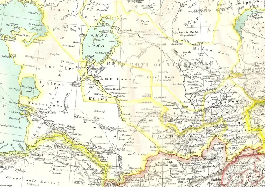
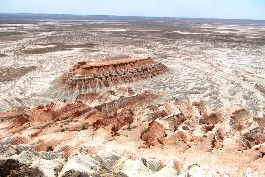
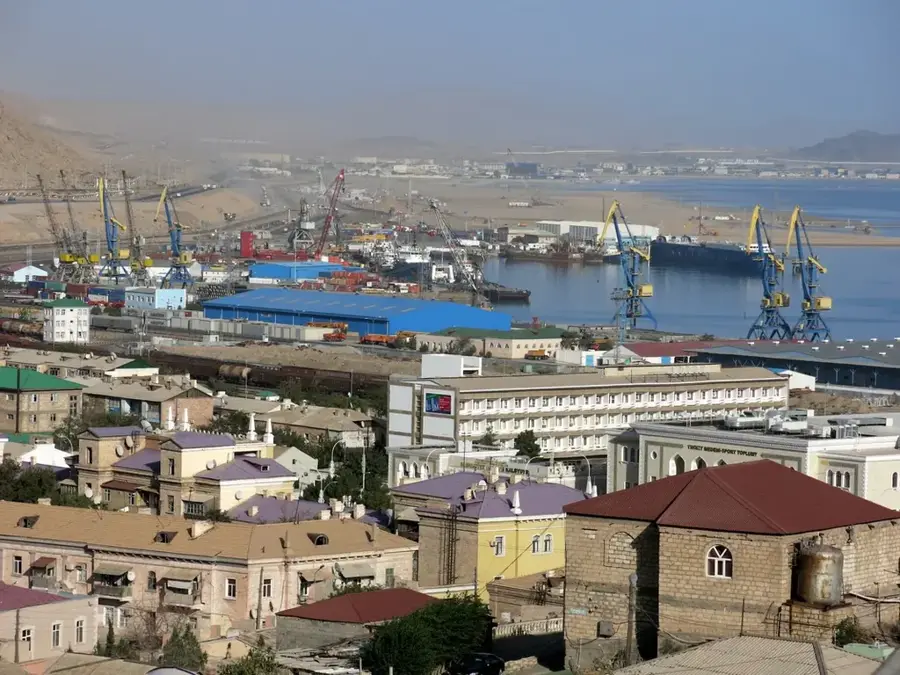
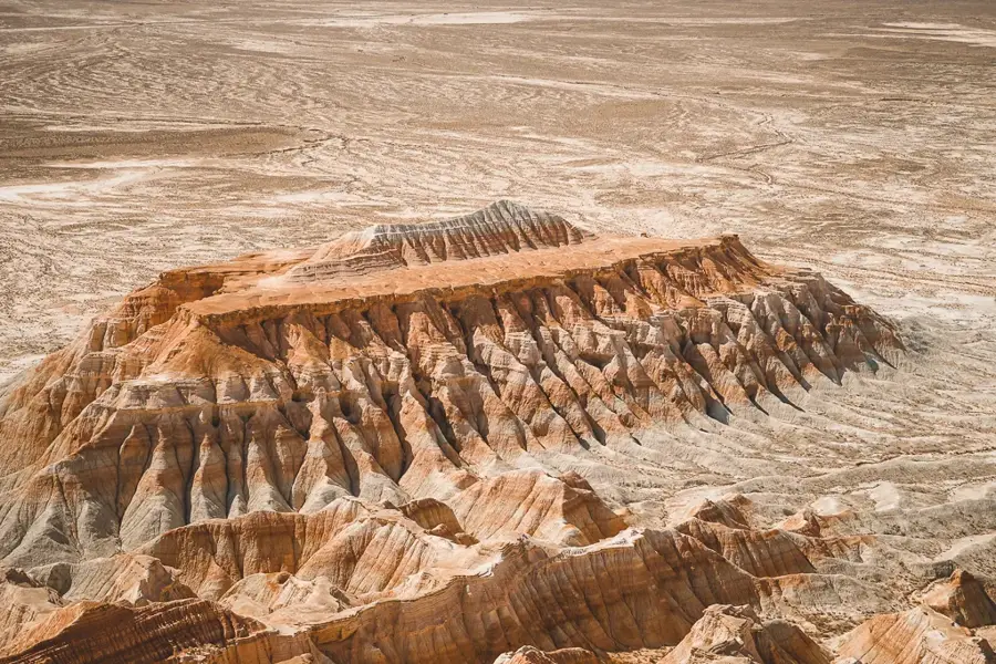
Gumdag is an industrial town in Balkan Region in western Turkmenistan, about 40 kilometres south-east of Balkanabat. With around 25,000 inhabitants, it stands at the edge of the Karakum Desert on the oil- and gas-rich foreland of the Greater Balkan range. It was founded in the 1930s as a mining settlement beside the Gum-Dag oilfield (Turkmen for Sand Mountain) and quickly grew into a central node of Turkmen petrochemicals. Pumpjacks, pipelines, a gas processing plant and a small refinery still dominate the townscape. The surrounding area is famous for its active mud volcanoes, whose eruptions raise multi-metre cones of clay, including the well-known Akpatlawuk, as well as for ancient Parthian and Sasanian caravan routes and salt pans dotting the dry steppe.
- Location: Turkmenistan
- Nearby: Balkanabat (33 km)
- Population: ~30.884 (2026)
Best time to visit & climate
The most pleasant time to visit is May, Sep, Oct.
| Jan | Feb | Mar | Apr | May | Jun | Jul | Aug | Sep | Oct | Nov | Dec | |
|---|---|---|---|---|---|---|---|---|---|---|---|---|
| Avg °C | 4 | 5 | 11 | 17 | 24 | 30 | 32 | 31 | 25 | 18 | 9 | 4 |
| Rain mm | 14 | 21 | 27 | 22 | 12 | 3 | 5 | 5 | 4 | 14 | 22 | 16 |
Geography
Facts
- Development began with the 1930s regional oil boom
- Located southeast of Balkanabat in the Balkan Province
- One of the oldest petroleum-producing regions in the nation
- Serves as a technical service hub for the energy sector
- Geography is shaped by the Greater Balkan mountain range
- Crucial node for oil pipeline infrastructure in the west
Explore nearby
Notable places around
Route planner — Car & Motorhome
Where do you start? We build the route here, with stops and country notes along the way.
© OpenStreetMap contributors · OpenRouteService
Frequently asked questions
Is a stopover in Gumdag worth it?
When should one visit Gumdag?
How to get to Gumdag?
What local specialties are there in Gumdag?
Is Gumdag suitable for kids?
Gumdag: where is it located?
Gumdag: when is the best time to visit?
Gumdag: why is it worth visiting?

Nearby cities


History & landmarks
Nature
More places