Plizio Visual Lab
Balkanabat
ℹ️Practical info — Balkanabat
▾
🌤 Weather — 5 days
📍 Nearby
Sights nearby
💡 Tips
- A high-clearance 4x4 vehicle is mandatory for the desert tracks to Yangykala Canyon.
- Bring a windbreaker as the plateau above the canyons can be extremely windy and cold.
- Stock up on fuel and water in the city before heading out to the remote desert areas.
- Visit the Trailblazers Memorial to understand the city's origins in the oil and gas industry.
- Plan your canyon trip for sunset when the colors of the cliffs are most spirited for photography.
🍽 Food
Grilled skewers of meat, popular in outdoor cafes near the mountains.
Hot flatbread baked in traditional ovens, often found in local markets.
Refreshing, locally grown melons that serve as an excellent snack on hot days.
🛍 Shopping · 🧘 Quiet spots
Look for clothing and blankets made from warm camel wool in the local market.
Small mementos reflecting Balkanabat's heritage as an industrial hub.
Ancient ruins set in a serene grove of old elm trees near a natural spring.
Enjoy the solitude and panoramic views over the Balkan range and the Karakum.
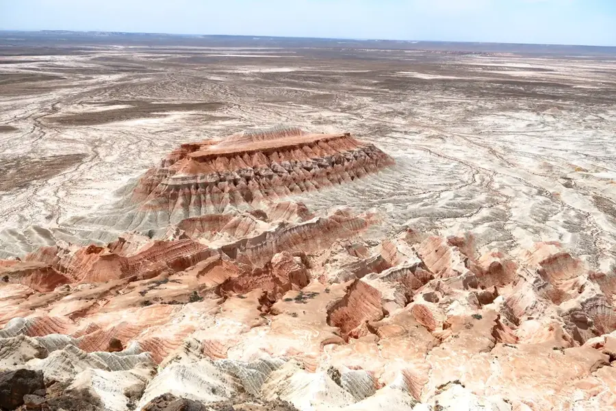
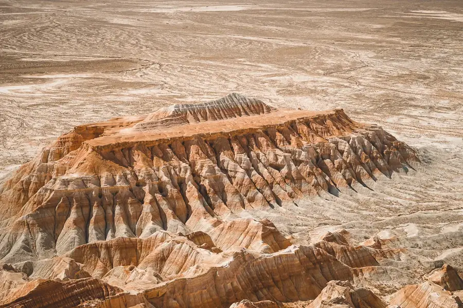
A vast, silent landscape offering some of the most dramatic views in Central Asia.
Water temperature…
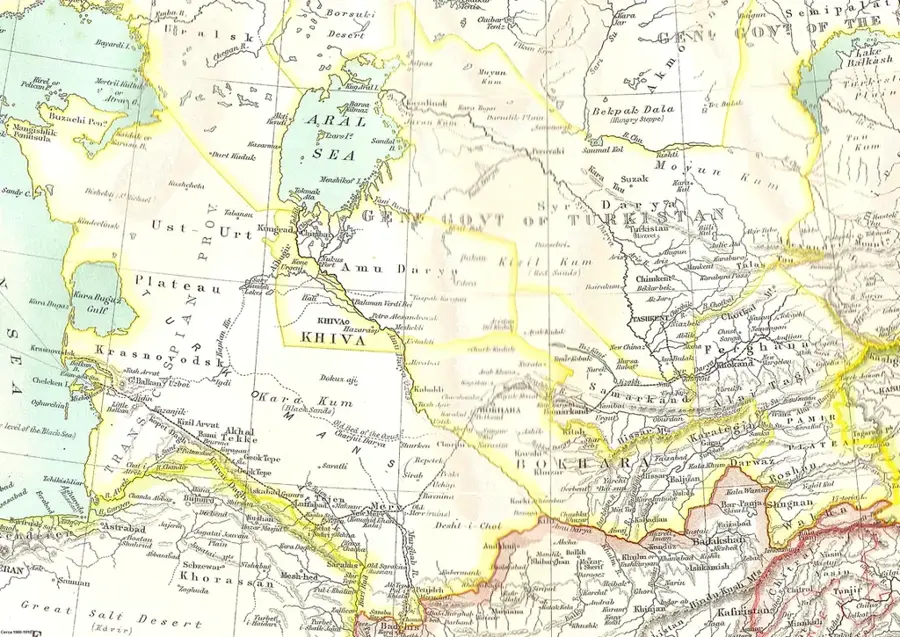
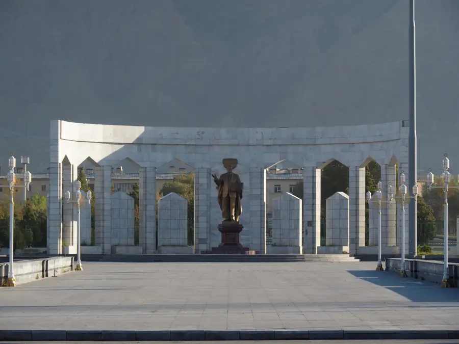
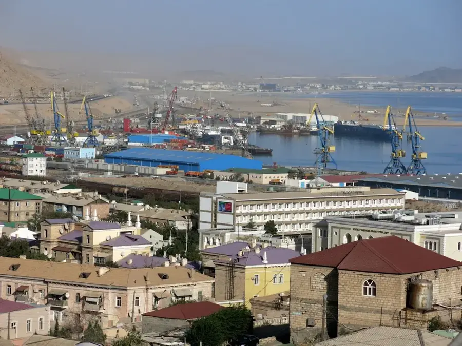
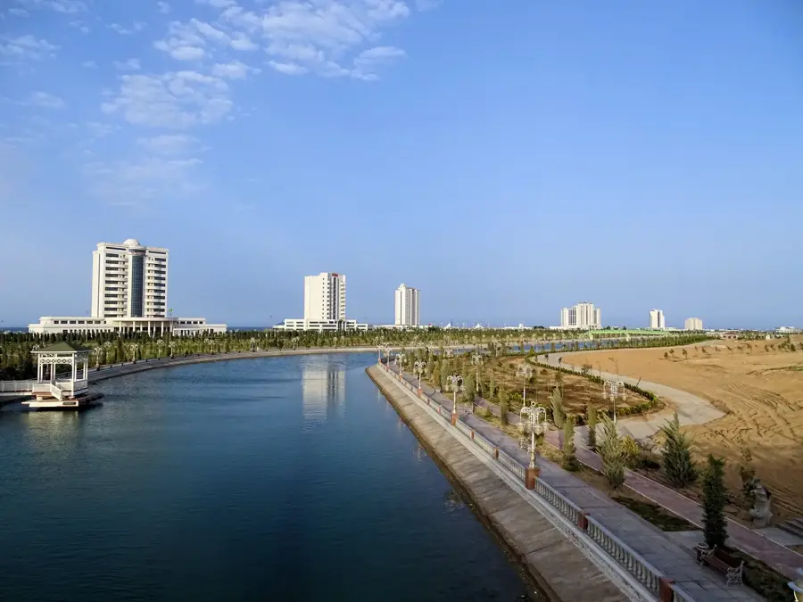
Balkanabat is the capital of Turkmenistan's western Balkan Region and, with around 90,000 inhabitants, the economic heart of the country's oil and gas industry. The city lies at the foot of the Lesser Balkan range, some 200 kilometres east of the Caspian Sea, in arid semi-desert terrain. It was founded in 1933 as a settlement for petroleum workers under the name Nebit-Dag, literally Oil Mountain, and renamed Balkanabat in 1999. The nearby fields of Boyadag, Cheleken and Goturdepe are among the oldest oil-producing zones in Central Asia, exploited since the late 19th century. Local sights include the Oil Industry Museum, the equestrian statue of the folk hero Gorogly, the central Yedi Asyr Park and the spectacular Yangykala Canyon with its pink and white rock layers.
- Location: Turkmenistan
- Top sights: Mechet' · Balkan Province Main Mosque · Jennet
- Nearby: Mollakara Lake (22 km)
- Population: ~87.822 (2026)
Best time to visit & climate
The most pleasant time to visit is May, Sep, Oct.
| Jan | Feb | Mar | Apr | May | Jun | Jul | Aug | Sep | Oct | Nov | Dec | |
|---|---|---|---|---|---|---|---|---|---|---|---|---|
| Avg °C | 2 | 3 | 10 | 16 | 24 | 29 | 32 | 30 | 24 | 16 | 8 | 2 |
| Rain mm | 12 | 18 | 24 | 21 | 12 | 3 | 5 | 3 | 4 | 12 | 19 | 14 |
Geography
Facts
- The city was founded in the year 1933
- Balkanabat was named Nebit-Dag until 1999
- Administrative center of the resource-rich Balkan Province
- Located at the foot of the Greater Balkan Mountains
- Primary center for petroleum extraction in western Turkmenistan
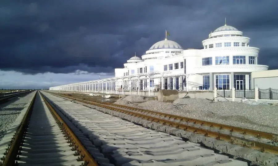
- Important stop on the strategic Trans-Caspian Railway
Explore nearby
Notable places around
Route planner — Car & Motorhome
Where do you start? We build the route here, with stops and country notes along the way.
© OpenStreetMap contributors · OpenRouteService
Sights in the town Balkanabat (5)
Frequently asked questions
What characterizes Balkanabat?
Is the city touristy?
Best time to travel?
What can you do?
How is the atmosphere?
Balkanabat: where is it located?
Balkanabat: what is there to see?
Balkanabat: when is the best time to visit?
Balkanabat: why is it worth visiting?

Nearby cities

History & landmarks
Nature
More places