Plizio Visual Lab
Cankuzo
ℹ️Practical info — Cankuzo
▾
🌤 Weather — 5 days
📍 Nearby
Sights nearby
💡 Tips
- Bring plenty of Burundian Francs in cash, as card payments are practically non-existent outside of major hotels.
- A basic knowledge of Kirundi or French is highly recommended, as English is rarely spoken.
- Be respectful when taking photos; always ask for permission before photographing people or local administration buildings.
- Transport between rural hills relies heavily on motorcycle taxis (boda-bodas)-agree on the fare before hopping on.
🍽 Food
Freshwater fish from Lake Tanganyika, often served in small local restaurants.
The hearty, everyday staple meal available at any local eatery.
An acquired taste, often shared in traditional settings.
🛍 Shopping · 🧘 Quiet spots
The best place to buy fresh produce, spices, and everyday items directly from farmers.
Traditional Burundian craftsmanship, occasionally available at stalls in the town center.
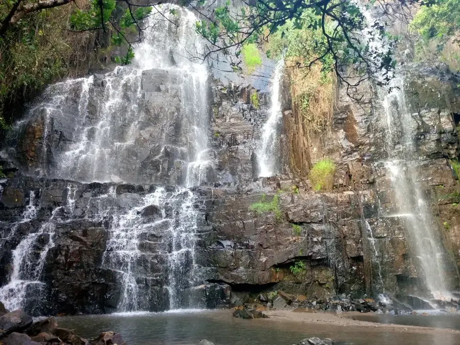
Take a walk just outside the town center for sweeping views of the terraced farming landscapes.
Often the most peaceful and well-kept open spaces in the area.
Water temperature…
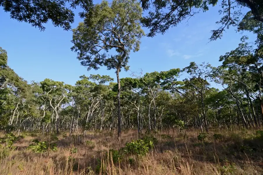
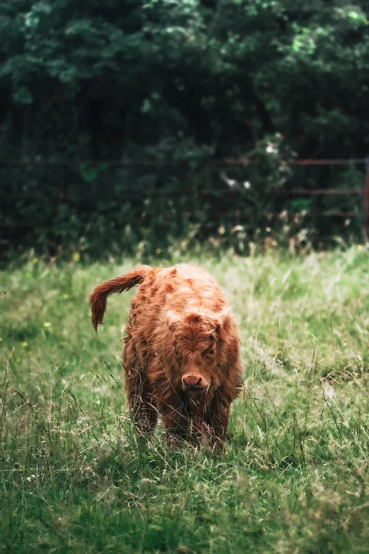
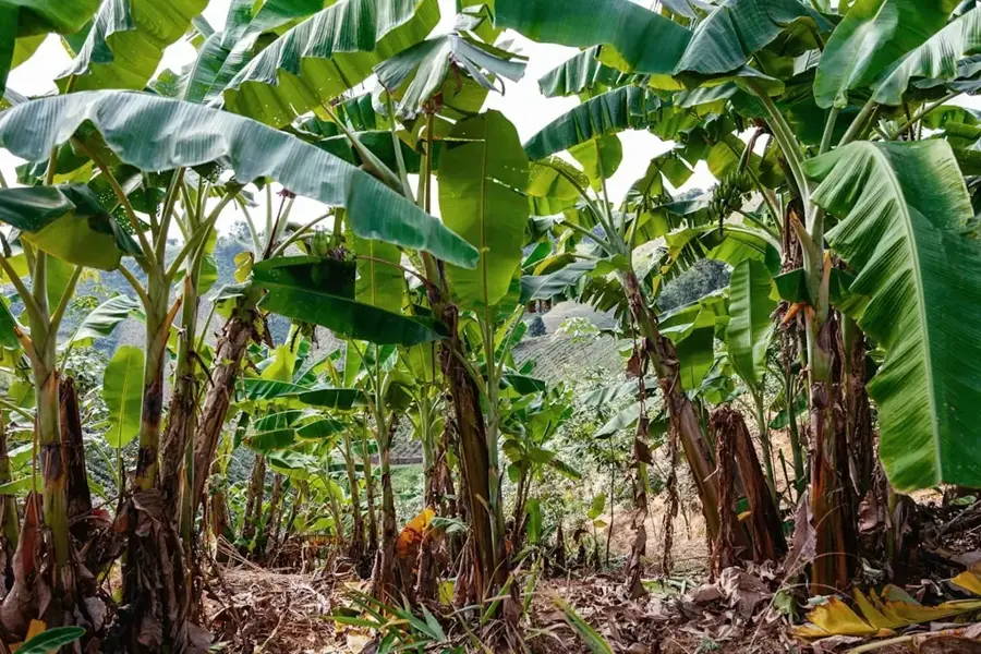
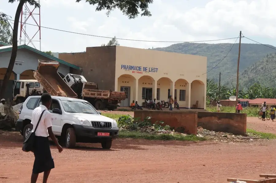
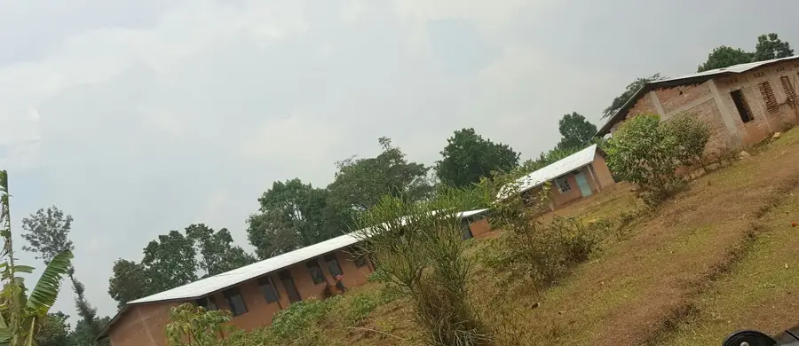
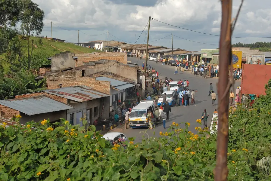
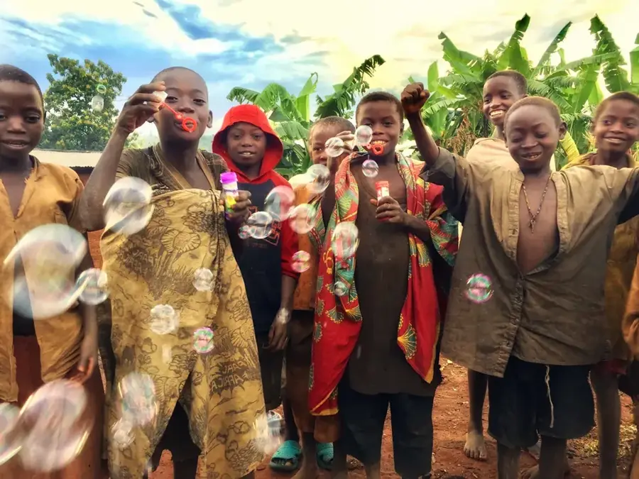
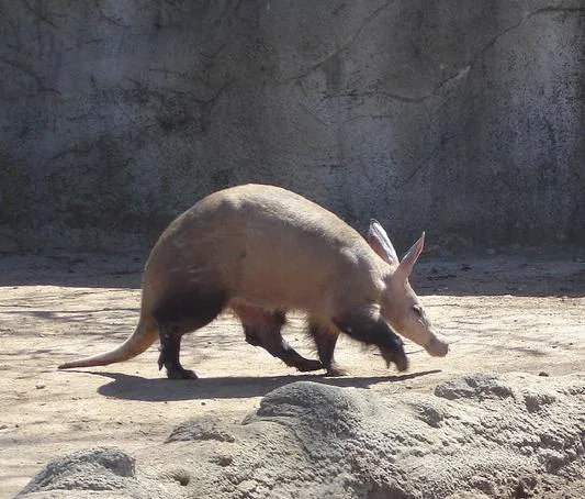
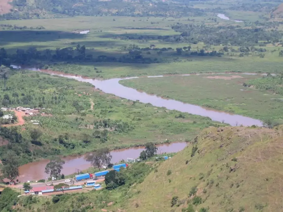
Cankuzo is located in eastern Burundi and serves as the capital of the province of the same name, near the border with Tanzania. The town sits at an elevation of about 1,600 meters and acts as the gateway to Ruvubu National Park, the country's largest national park, which hosts significant populations of hippos, crocodiles, and waterbirds. The economy of Cankuzo is heavily based on subsistence farming and livestock rearing, with cattle holding high social significance in local culture. Due to its remote eastern location, Cankuzo has maintained a very traditional character, though it is increasingly developing into an administrative base for border control and biodiversity protection. Historically, the region was a transit area for caravans and later became an important administrative post for monitoring the eastern districts. The climate here is slightly drier than in the west, resulting in a landscape that is a mix of wooded savanna and agricultural land.
- Location: Burundi
- Nearby: Ruvubu National Park (14 km)
- Population: ~5.607 (2026)
Best time to visit & climate
The most pleasant time to visit is Jun–Aug.
| Jan | Feb | Mar | Apr | May | Jun | Jul | Aug | Sep | Oct | Nov | Dec | |
|---|---|---|---|---|---|---|---|---|---|---|---|---|
| Avg °C | 21 | 21 | 21 | 20 | 20 | 19 | 19 | 21 | 22 | 22 | 20 | 20 |
| Rain mm | 139 | 117 | 167 | 163 | 75 | 21 | 12 | 27 | 49 | 107 | 217 | 155 |
Geography
Facts
- Cankuzo is the administrative center of Cankuzo Province.
- The town is situated at an elevation of about 1,630 meters.
- It is located in close proximity to Ruvubu National Park.
- Livestock rearing is a central part of the local culture.
- Cankuzo is connected to Muyinga and Ruyigi via the RN13 road.
- The region borders the Tanzanian Kagera Basin to the east.
Explore nearby
Notable places around
Route planner — Car & Motorhome
Where do you start? We build the route here, with stops and country notes along the way.
© OpenStreetMap contributors · OpenRouteService
Frequently asked questions
What is special about Cankuzo?
Can you see animals in Ruvubu Park?
How is the tourist infrastructure?
When should you visit Cankuzo?
Are there camping facilities?
Cankuzo: where is it located?
Cankuzo: when is the best time to visit?
Cankuzo: why is it worth visiting?

Nearby cities


Nature

More places