Plizio Visual Lab
Mount Mikuba

Weather…
Water temperature…
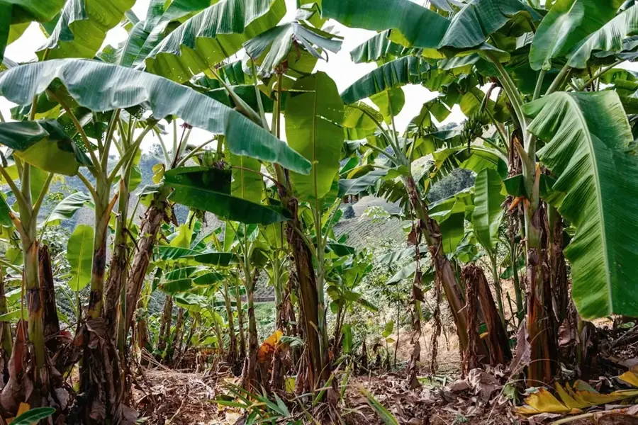
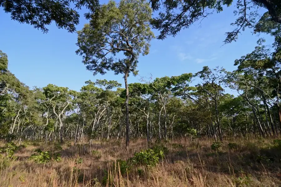
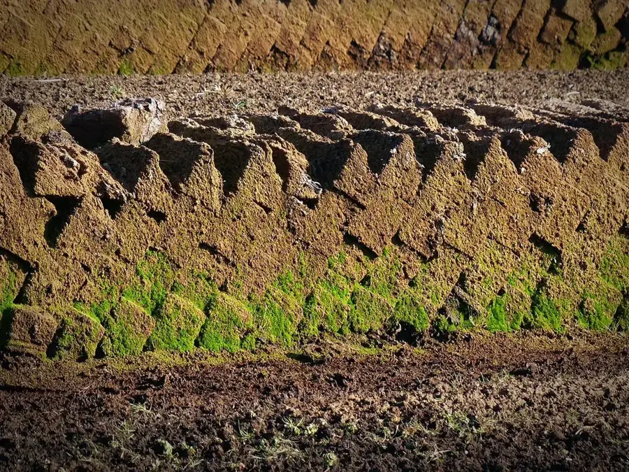
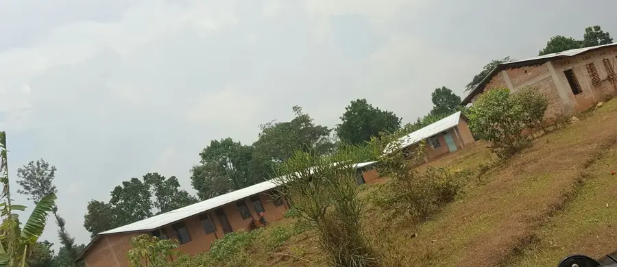
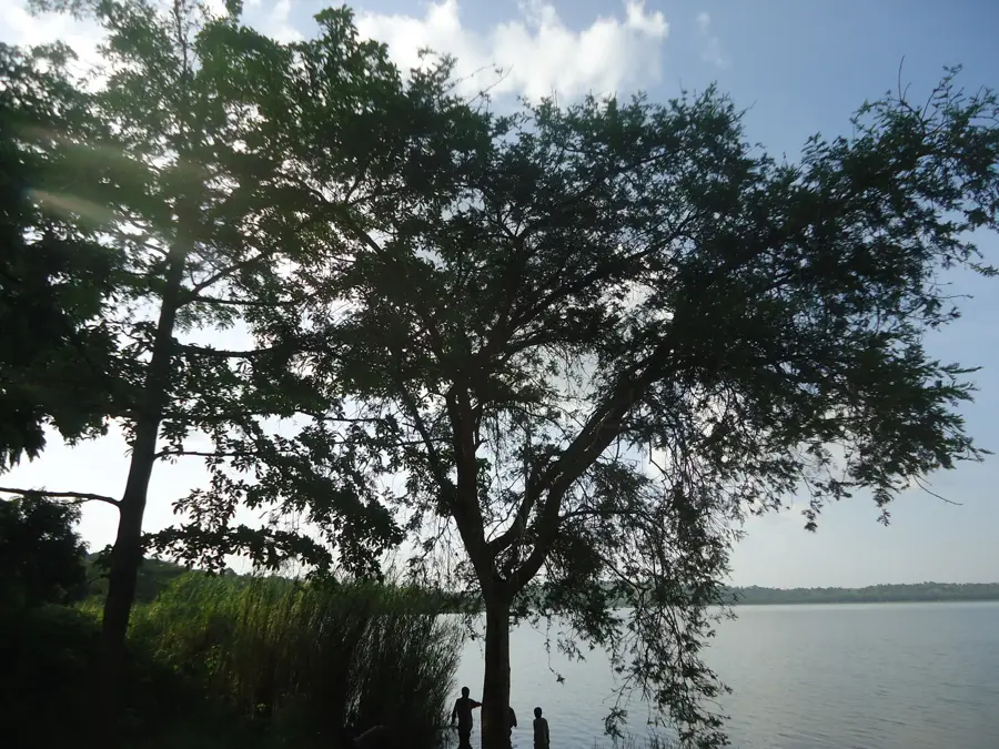
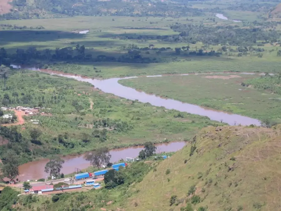
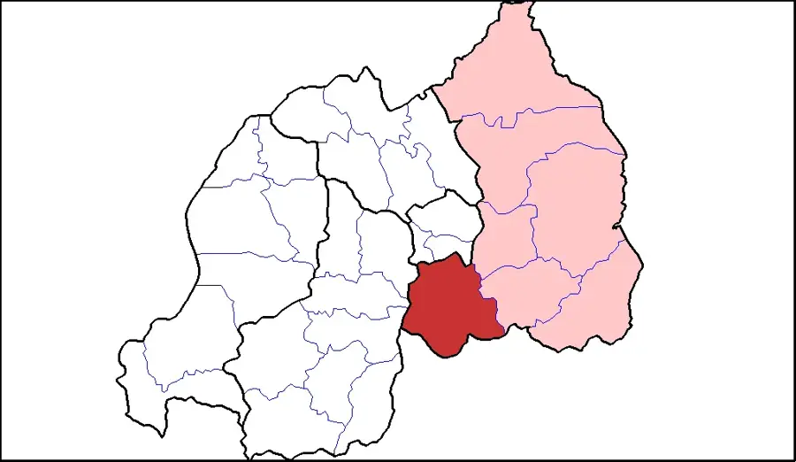
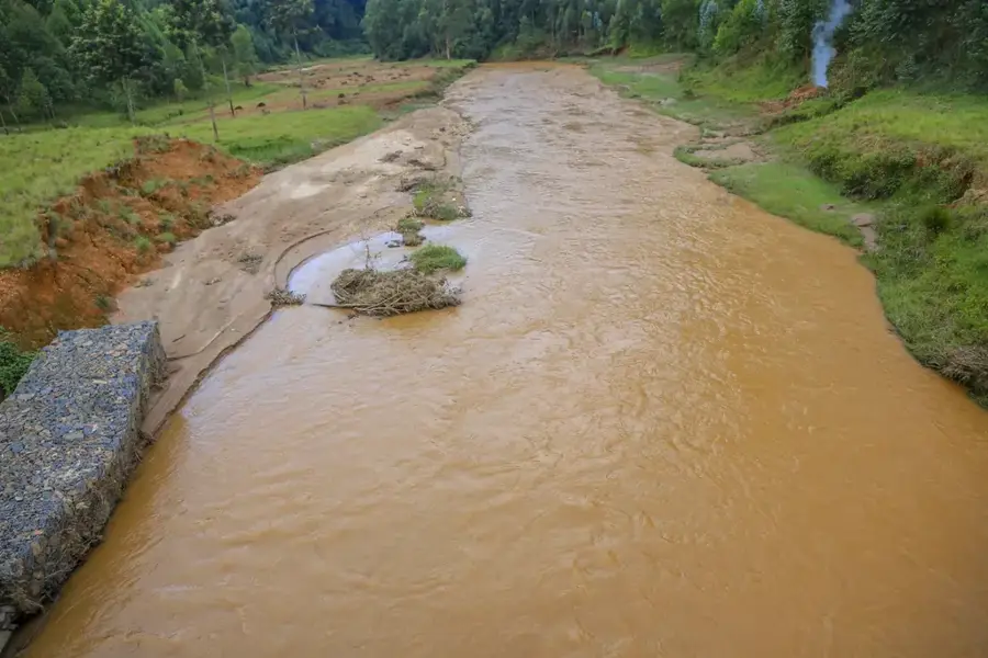
Mount Mikuba is one of the highest peaks in northwestern Burundi, forming an essential part of the mountainous terrain along the Albertine Rift. It reaches an elevation of over 2,600 meters and is often shrouded in clouds, reflecting the humid, cool climate of the high altitudes. The geology of Mikuba is shaped by past volcanic activities, which left fertile soils on the lower slopes where intensive agriculture is practiced today. In the higher zones, remnants of afromontane rainforest can be found, part of the larger Kibira ecosystem. These forests house rare animal species, including mountain galagos and various endemic birds. For Burundi's water management, Mount Mikuba is of inestimable value as it feeds numerous tributaries of the Rusizi River. The region around the mountain is densely populated because the climatic conditions are well-suited for growing cereals and legumes. Despite human pressure, the summit area remains an important bastion for biodiversity and a destination for scientific expeditions.
- Location: Burundi
- Nearby: Muyinga (16 km)
Best time to visit & climate
The most pleasant time to visit is Jul–Sep.
| Jan | Feb | Mar | Apr | May | Jun | Jul | Aug | Sep | Oct | Nov | Dec | |
|---|---|---|---|---|---|---|---|---|---|---|---|---|
| Avg °C | 20 | 20 | 20 | 19 | 19 | 18 | 18 | 20 | 21 | 21 | 20 | 20 |
| Rain mm | 145 | 120 | 169 | 168 | 78 | 23 | 13 | 30 | 56 | 114 | 230 | 159 |
📋 Practical info
Geography
Facts
- The summit reaches an elevation of over 2,600 meters.
- It is located in northwestern Burundi near the Congo border.
- The mountain is part of the Albertine Rift highlands.
- The slopes are known for their highly productive volcanic soils.
- Mikuba feeds important tributaries of the Rusizi River.
- Parts of the mountain belong to the protected Kibira National Park.
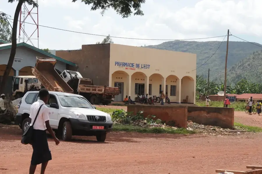
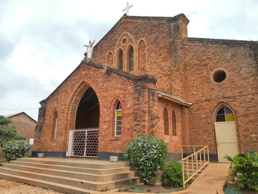
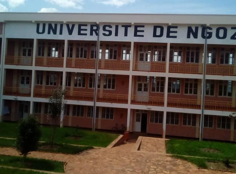
Explore nearby
Notable places around
Route planner — Car & Motorhome
Where do you start? We build the route here, with stops and country notes along the way.
© OpenStreetMap contributors · OpenRouteService
Sights nearby
Frequently asked questions
Where is Mikuba Mountain located?
What is grown at Mikuba?
Is the mountain part of a national park?
Are there hiking trails?
How is the weather at Mikuba?
Mount Mikuba: where is it located?
Mount Mikuba: when is the best time to visit?
Mount Mikuba: why is it worth visiting?

Nearby cities


History & landmarks
Nature

More places