Plizio Visual Lab
Taghit
Weather…
Water temperature…
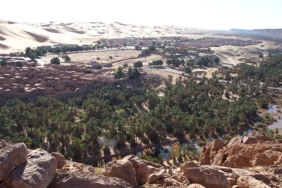
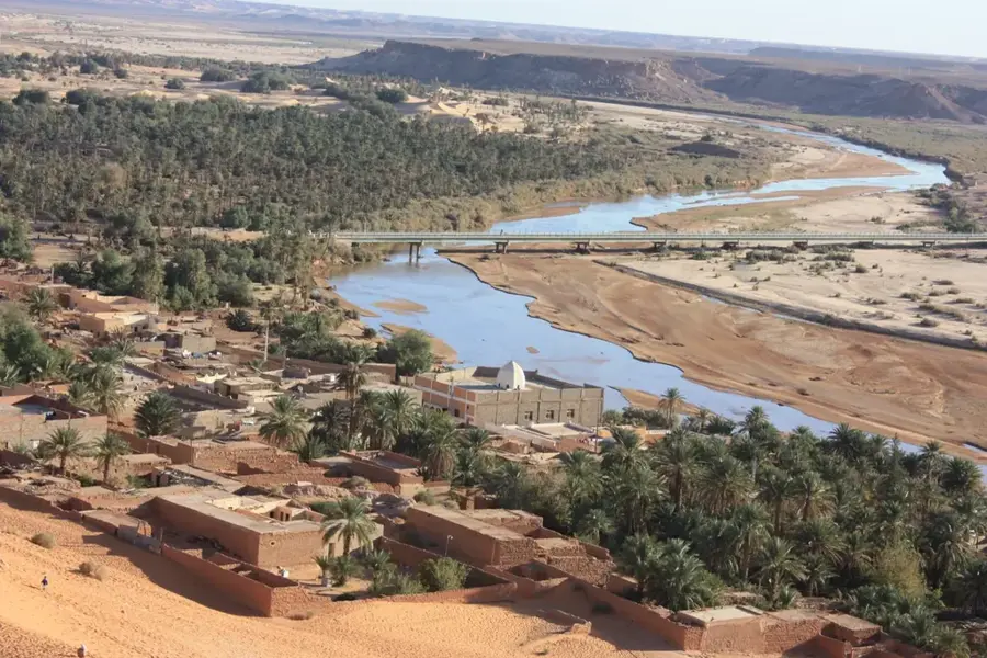
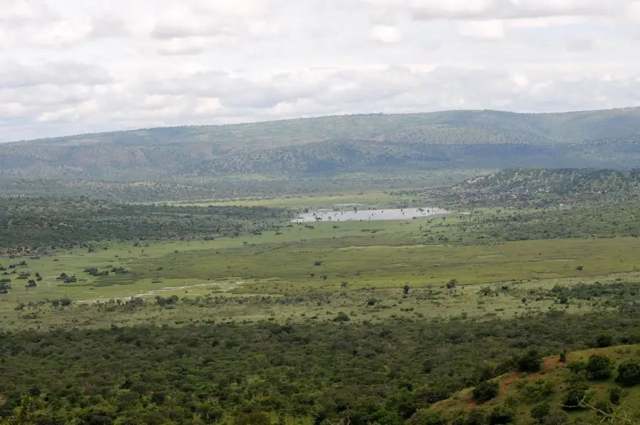
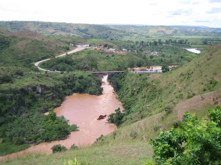
Taghit, often referred to as the "Pearl of the Saoura," is picturesquely situated between a chain of massive, golden sand dunes and a dense palm grove. The old Ksar (fortified village), whose mud-brick houses cling to a rocky hill, provides a fascinating glimpse into Saharan architecture. The labyrinth of narrow alleyways within the Ksar has been partially restored in recent years and exudes a timeless tranquility. The dunes of the Grand Erg Occidental rise directly behind the town and are among the highest and most beautiful in Algeria. They offer excellent opportunities for sandboarding, quad biking, or simply watching the magical sunset over the desert. Additionally, the surrounding area features ancient rock carvings from a time when the Sahara was a green savanna. Taghit is accessible via well-maintained roads and lies just under 100 kilometers south of Béchar. A multi-day stay during the winter half of the year (November to March) is convenient, as the heat in the Saoura Valley is almost unbearable during the summer months.
- Location: Algeria
- Top sights: Dunes de Taghit · Taghit · Palis de Taghit
- Nearby: Béchar (80 km)
📋 Practical info
Geography
Facts
- The Pearl of the Saoura
- Old Ksar (fortified village)
- Great sand dunes of the Grand Erg Occidental
- Ancient rock carvings nearby
- 93 kilometers from Béchar
- Dense date palm groves
- Oasis on the edge of the Sahara
- Popular for sandboarding
Explore nearby
Notable places around
Route planner — Car & Motorhome
Where do you start? We build the route here, with stops and country notes along the way.
© OpenStreetMap contributors · OpenRouteService
Sights in the town Taghit (3)
Sights nearby
Frequently asked questions
Taghit: where is it located?
Taghit: what is there to see?
Taghit: why is it worth visiting?

Nearby cities
History & landmarks

Nature

More places