Plizio Visual Lab
Kirundo

ℹ️Practical info — Kirundo
▾
🌤 Weather — 5 days
📍 Nearby
Sights nearby
💡 Tips
- The region is famous for its lakes; hire a local guide for the best birdwatching experience at Lake Cohoha.
- Travel and intercity transport are best undertaken during daylight hours.
- French and Kirundi are the primary languages; bringing a small phrasebook will be helpful.
- Cash is king here; ensure you have enough Burundian Francs before leaving larger cities.
🍽 Food
Local fish from the lakes, typically grilled or fried at lakeside eateries.
A hearty, traditional staple found in local canteens.
Traditional home-brewed beverage, ask locals for a reputable spot to try it.
🛍 Shopping · 🧘 Quiet spots
Animated hub for fresh regional vegetables, fruits, and fabrics.
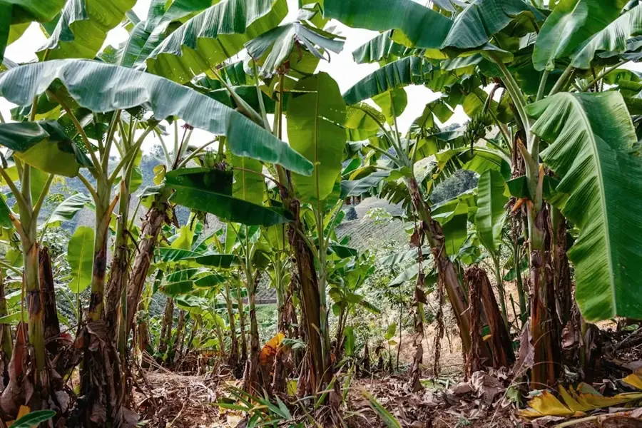
The best places to pick up fresh bananas, mangoes, and pineapples.
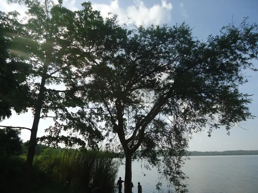
Serene natural setting excellent for walking and birdwatching.
Calm rural landscapes well-suited for a peaceful retreat.
Water temperature…
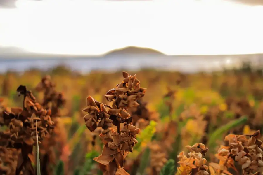
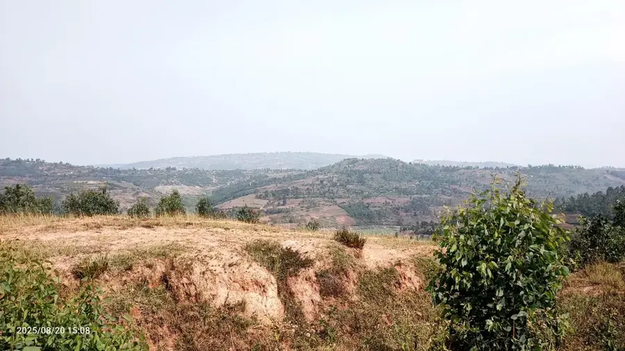
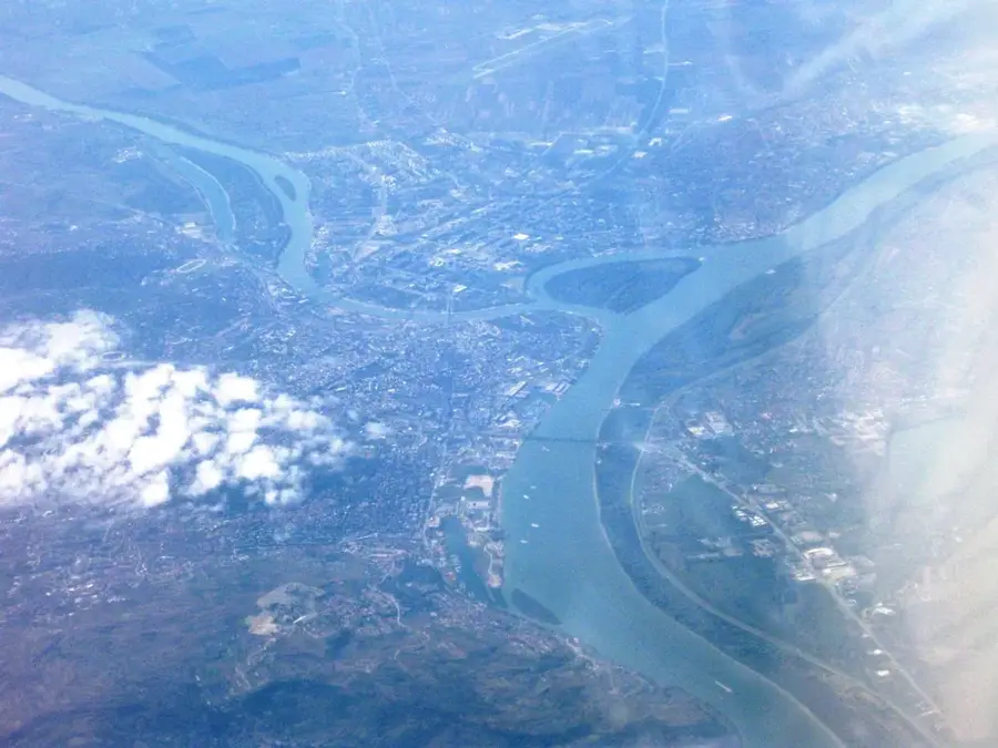
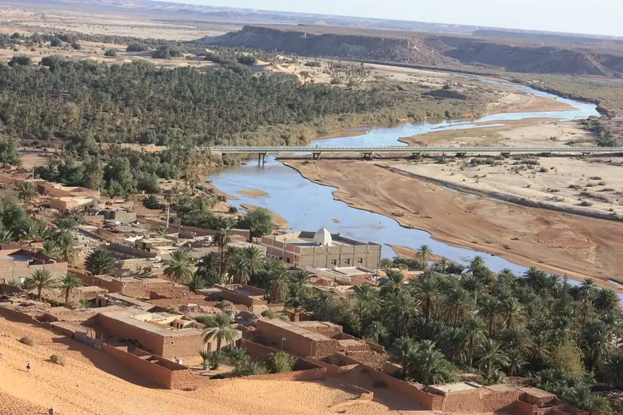
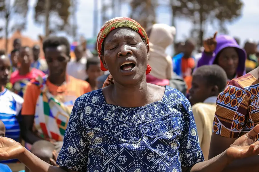
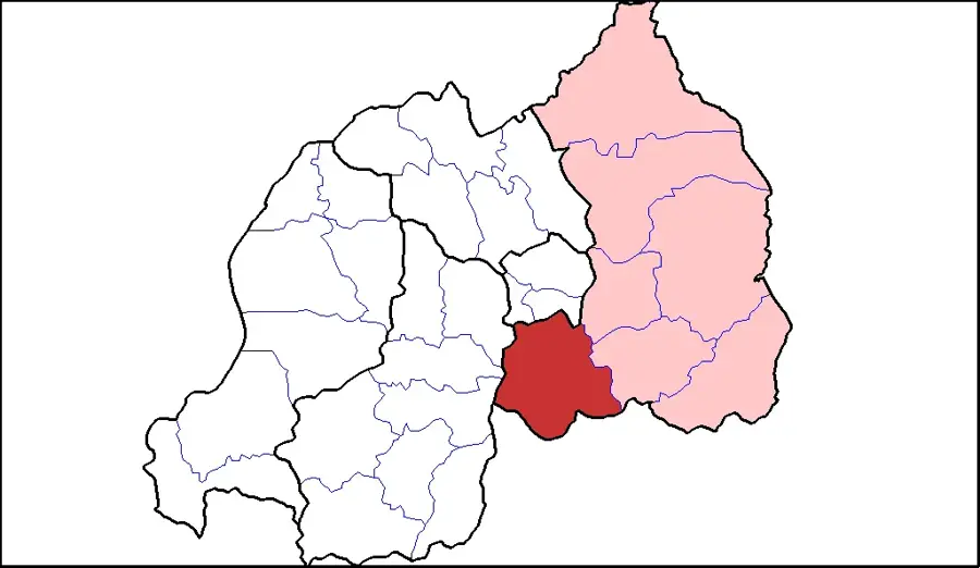
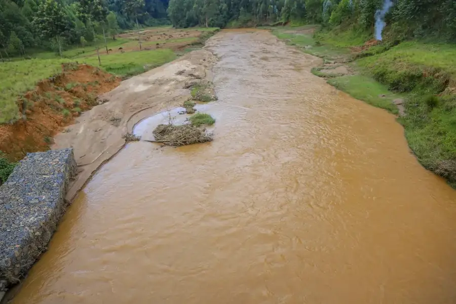
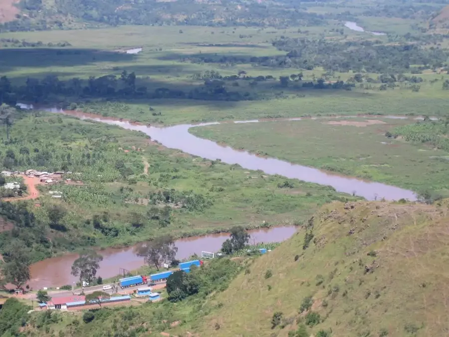
Kirundo is located in the far north of Burundi and is famous for its unique lake landscape, which includes Lake Cohoha and Lake Rweru. The town sits at an elevation of about 1,350 meters and is the administrative center of a region of great economic importance due to its fishing resources and fertile plains. The climate here is somewhat drier than in the central highlands, enabling the large-scale cultivation of sorghum, beans, and maize. Historically, Kirundo was an important exchange point between Burundi and Rwanda, reflected in its cultural diversity and commercial ties. The region's lakes are not only vital for fishing but also host a rich avian population, making Kirundo a significant site for nature conservation. Despite challenges posed by periodic droughts, Kirundo remains a vital agricultural supply hub for the northern part of the country.
- Location: Burundi
- Nearby: Busoni (12 km)
- Population: ~15.511 (2026)
Best time to visit & climate
The most pleasant time to visit is Jun–Aug.
| Jan | Feb | Mar | Apr | May | Jun | Jul | Aug | Sep | Oct | Nov | Dec | |
|---|---|---|---|---|---|---|---|---|---|---|---|---|
| Avg °C | 21 | 21 | 21 | 20 | 20 | 19 | 20 | 21 | 22 | 21 | 20 | 20 |
| Rain mm | 119 | 107 | 154 | 170 | 101 | 36 | 20 | 42 | 74 | 124 | 191 | 131 |
Geography
Facts
- Kirundo is surrounded by several lakes, including Lake Cohoha.
- The town is located at an elevation of approximately 1,350 meters.
- The region is considered the 'breadbasket' of northern Burundi.
- Bird sanctuaries on the lakes host over 60 different species.
- Kirundo directly borders the Bugesera District in Rwanda.
- Fishing is the primary economic activity alongside crop farming.
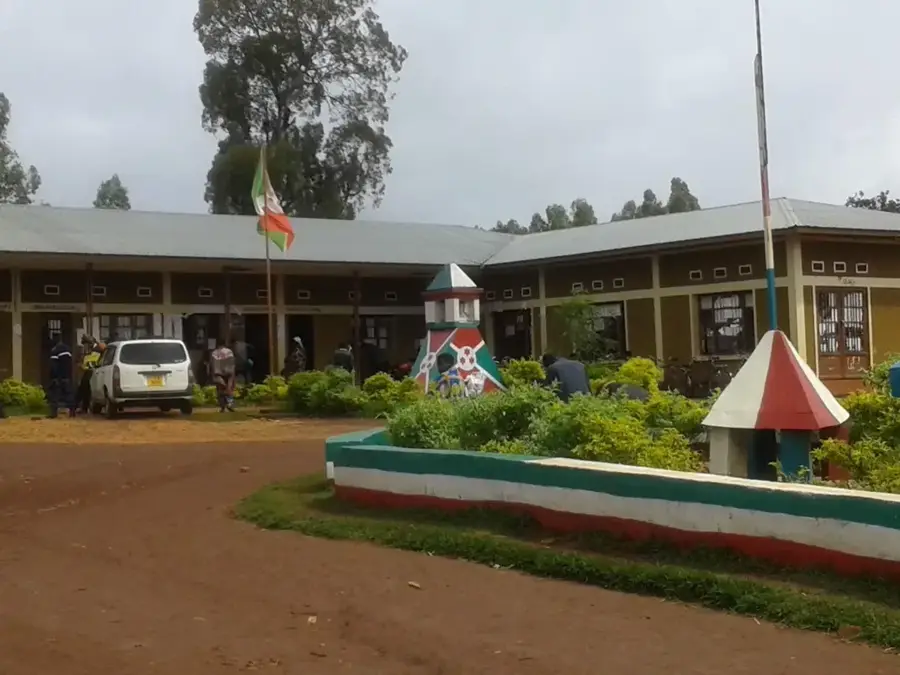
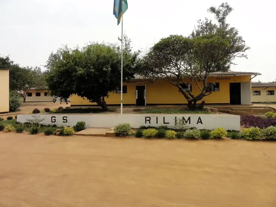
Explore nearby
Notable places around
Route planner — Car & Motorhome
Where do you start? We build the route here, with stops and country notes along the way.
© OpenStreetMap contributors · OpenRouteService
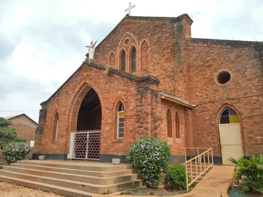
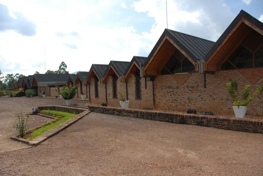
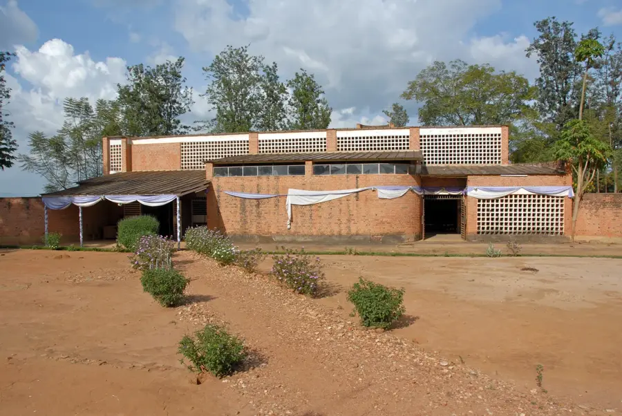
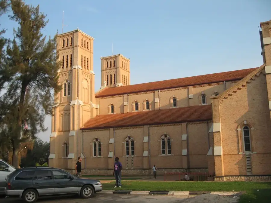
Sights in the town Kirundo (1)
Frequently asked questions
What is Kirundo known for?
Can you go bird watching there?
When is the best time to visit Kirundo?
Are there boat tours on the lakes?
What is the vegetation like in the region?
Kirundo: where is it located?
Kirundo: when is the best time to visit?
Kirundo: why is it worth visiting?

Nearby cities
History & landmarks
Nature
More places