Plizio Visual Lab
Glarus Süd
ℹ️Practical info — Glarus Süd
▾
🌤 Weather — 5 days
📍 Nearby
Sights nearby
Water temperature…
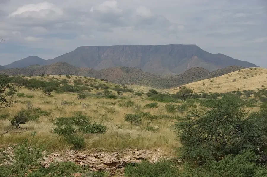
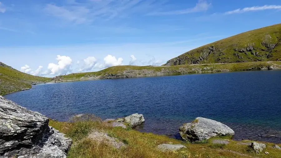
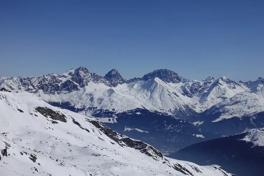
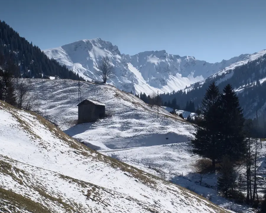
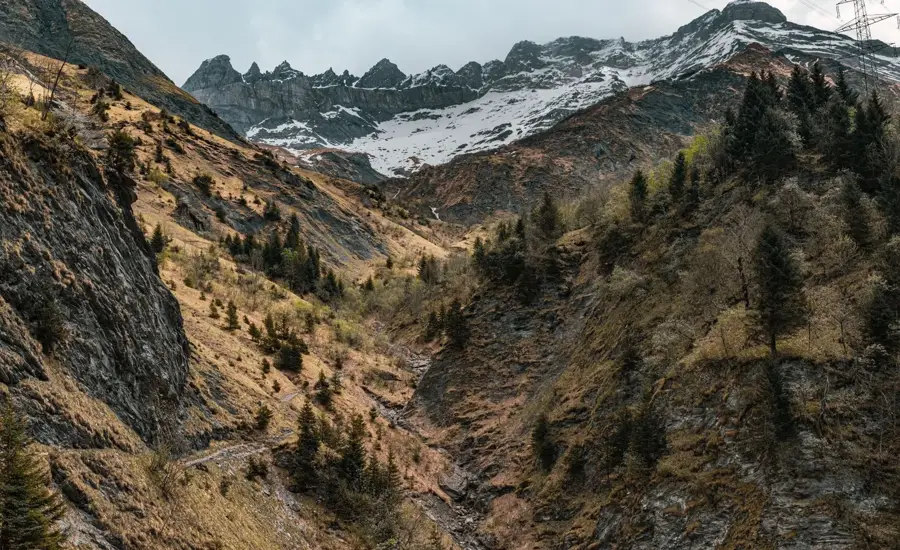
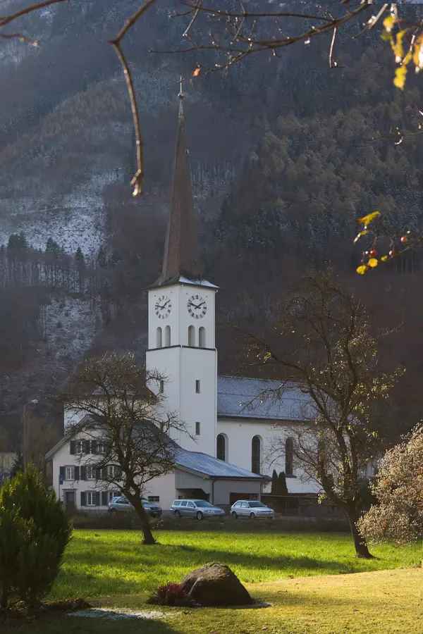
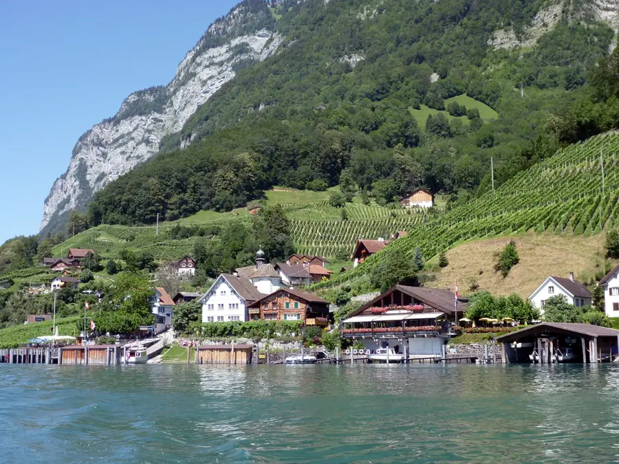
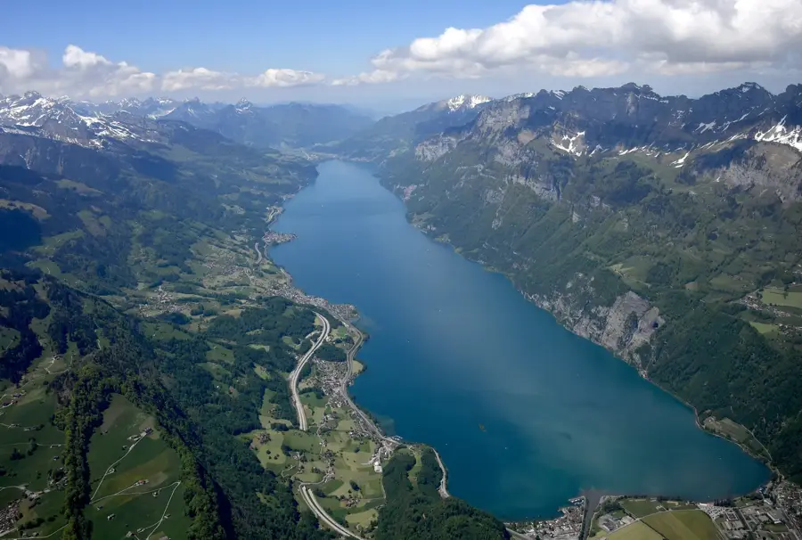
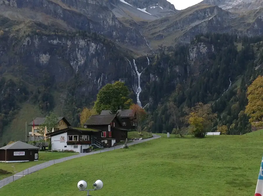
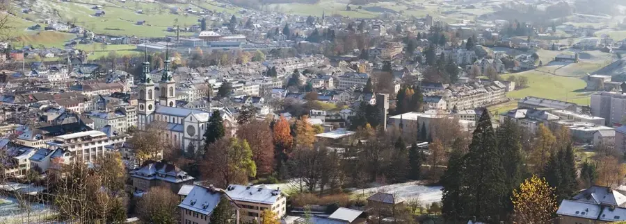
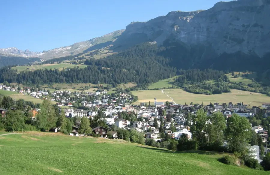
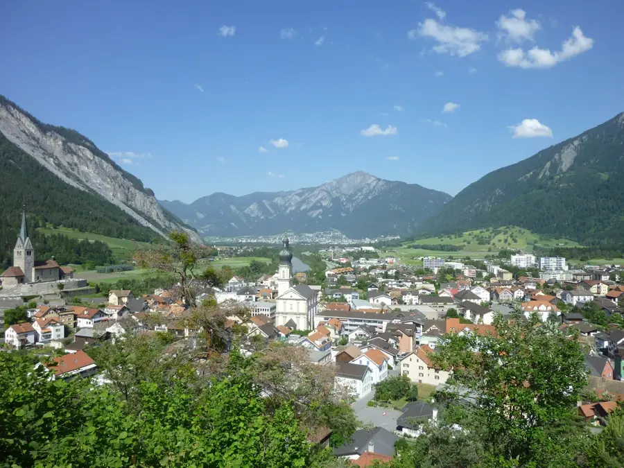
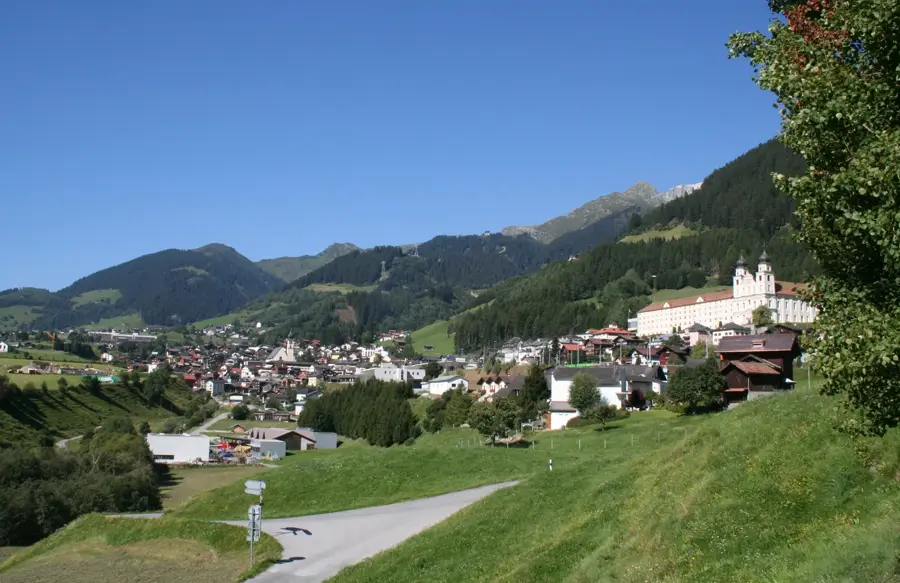
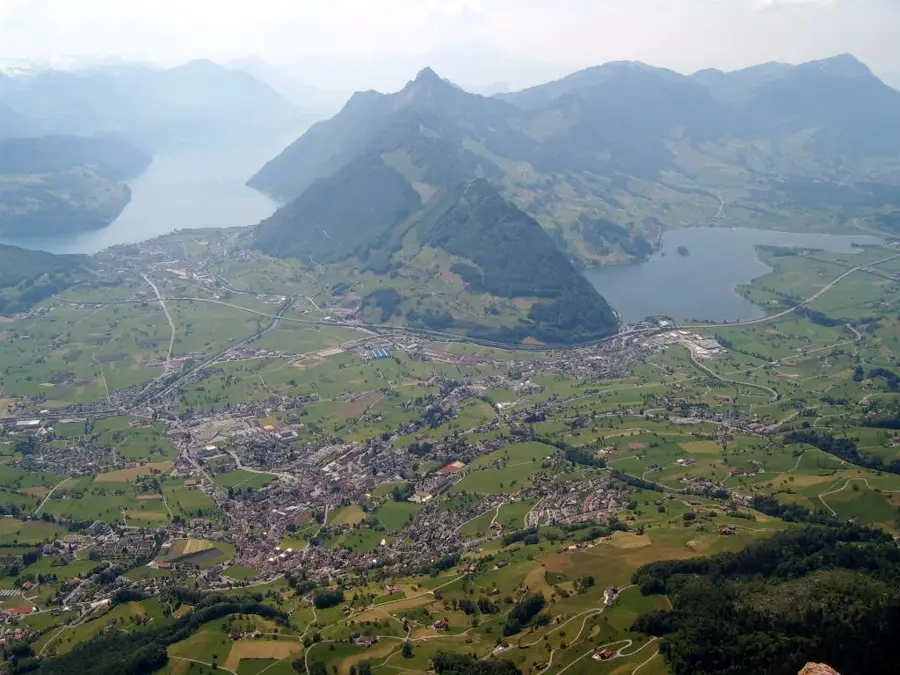
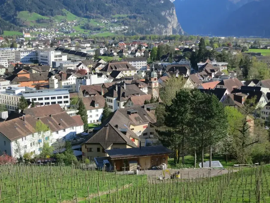
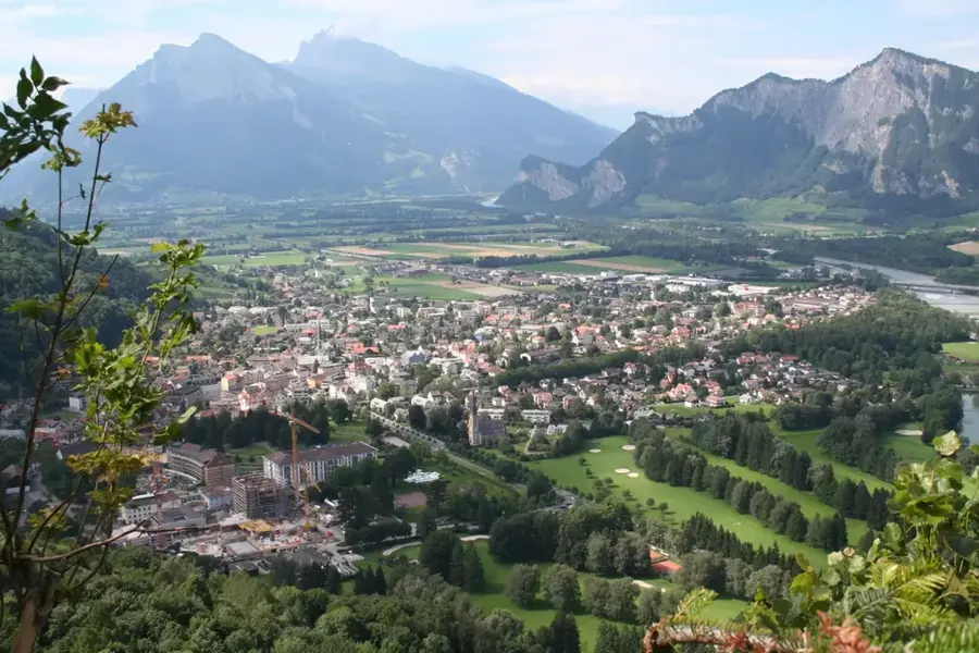
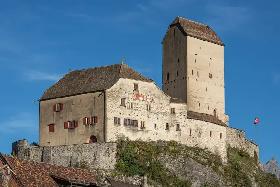
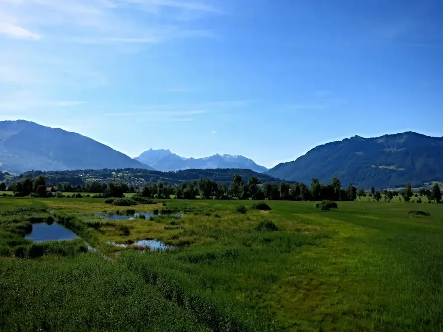
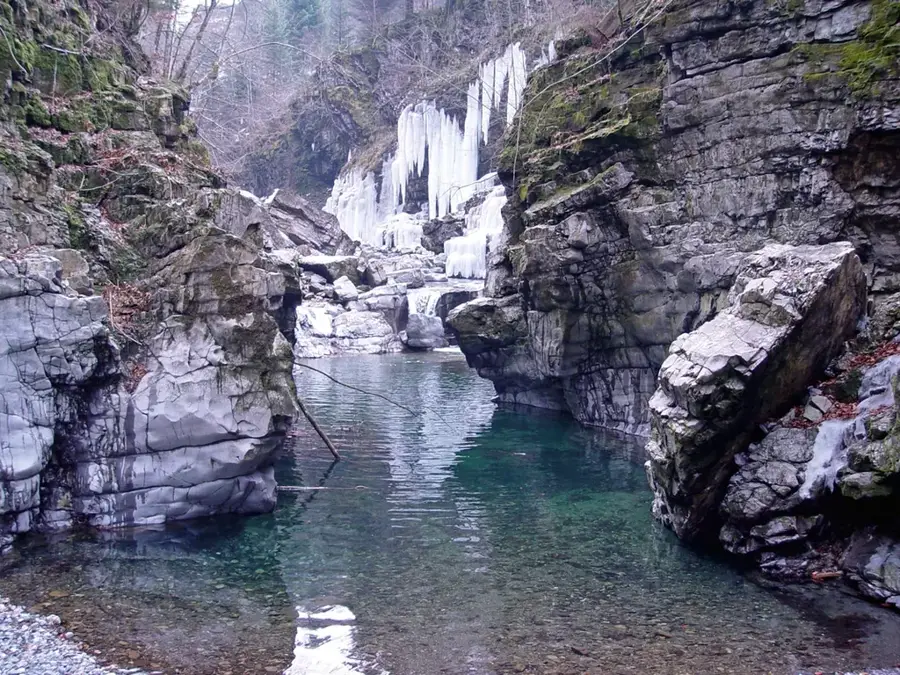
Glarus Süd was formed in 2011 through the merger of 13 former municipalities and encompasses the entire hinterland of the canton of Glarus. With an area of around 430 square kilometers, it is one of the most extensive municipalities in Switzerland. The landscape is characterized by prominent peaks such as the Tödi, the highest mountain in the Glarus Alps, and deep-cut valleys such as the Grosstal and Kleintal. A major highlight is the Tectonic Arena Sardona, a UNESCO World Natural Heritage site, where the formation of the Alps through the overthrusting of rock layers is uniquely visible. Tourist destinations like Elm and Braunwald are of great importance, known as snow-sure ski resorts and hiking paradises. In Linthal, you will find the impressive Limmern pumped-storage power plant, a technical masterpiece hidden inside the mountain. The region's history was shaped for centuries by slate mining and the textile industry, whose heritage is still visible today in many industrial buildings. Glarus Süd has untouched nature, idyllic mountain lakes like Oberblegisee, and a rich variety of flora and fauna. The municipality is well connected by the St. Gallen S-Bahn, with the railway line running as far as Linthal at the foot of the Klausen Pass. Local culture is preserved through traditional Alpine festivals and the culinary heritage of Glarner Schabziger cheese.
- Location: Switzerland
- Top sights: Matzlenstock · Sunnenberg · Franzenhoren
- Nearby: Braunwald (5 km)
- Population: ~9.486
Best time to visit & climate
The most pleasant time to visit is Jul–Sep.
| Jan | Feb | Mar | Apr | May | Jun | Jul | Aug | Sep | Oct | Nov | Dec | |
|---|---|---|---|---|---|---|---|---|---|---|---|---|
| Avg °C | -4 | -4 | 1 | 5 | 10 | 14 | 16 | 15 | 11 | 7 | 2 | -3 |
| Rain mm | 101 | 81 | 102 | 107 | 163 | 176 | 173 | 190 | 124 | 110 | 103 | 106 |
Geography
Facts
- Area of 430.2 km2
- Tödi is the highest point at 3614 m
- UNESCO World Heritage Tectonic Arena Sardona
- Braunwald is a car-free resort
- Martinsloch rock window near Elm
- Switzerland's largest pumped-storage plant
Explore nearby
Notable places around
Route planner — Car & Motorhome
Where do you start? We build the route here, with stops and country notes along the way.
© OpenStreetMap contributors · OpenRouteService
Sights in the town Glarus Süd (6)
Frequently asked questions
Glarus Süd: where is it located?
Glarus Süd: what is there to see?
Glarus Süd: when is the best time to visit?
Glarus Süd: why is it worth visiting?

Nearby cities
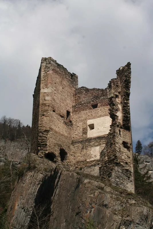
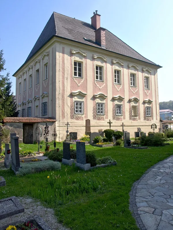
History & landmarks
Nature
More places