Plizio Visual Lab
Glarus Nord
ℹ️Practical info — Glarus Nord
▾
🌤 Weather — 5 days
📍 Nearby
Sights nearby
💡 Tips
- The weather on Lake Walen can change quickly; always check the forecast before starting a hike.
- The Glarus industrial heritage trails are excellent to explore by bike, consider renting an e-bike.
- Many small mountain cable cars only accept cash or Twint, so bring Swiss Francs with you.
- Visit the Näfelser Fahrt monument in the afternoon when the light is best for photography.
🍽 Food
Try this unique green herb cheese at the regional mountain inns.
A traditional pasta dish made with Schabziger cheese, found in many local restaurants.
A sweet almond specialty available in the village bakeries of Näfels or Niederurnen.
🛍 Shopping · 🧘 Quiet spots
Look for factory stores selling high-quality textiles and outdoor clothing.
Buy authentic Schabziger directly from the dairies in the region.
A quiet stretch of beach and forest on the lake, great for a relaxing afternoon.
Take the small cable car up for a peaceful hike away from the crowds.
Water temperature…
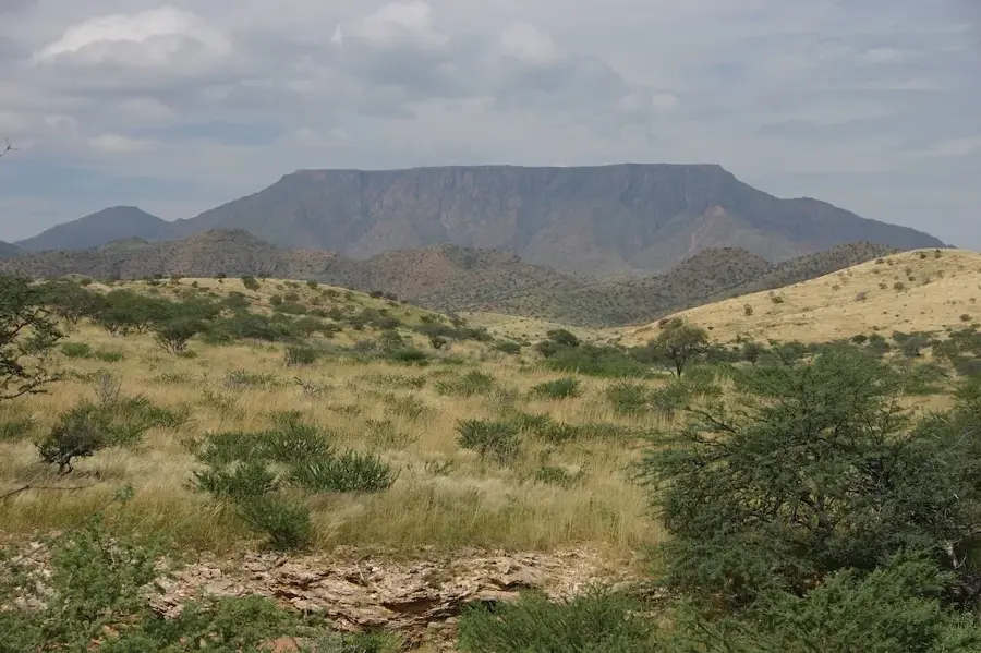
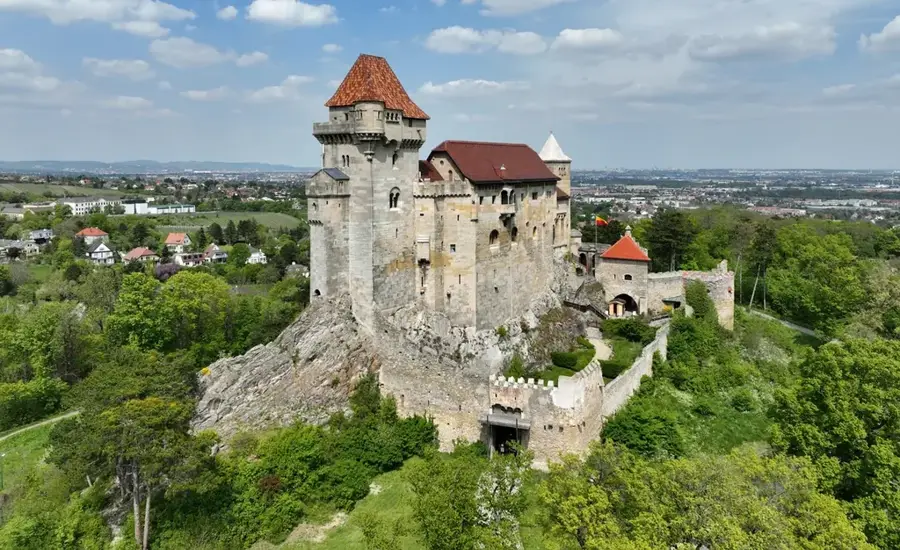
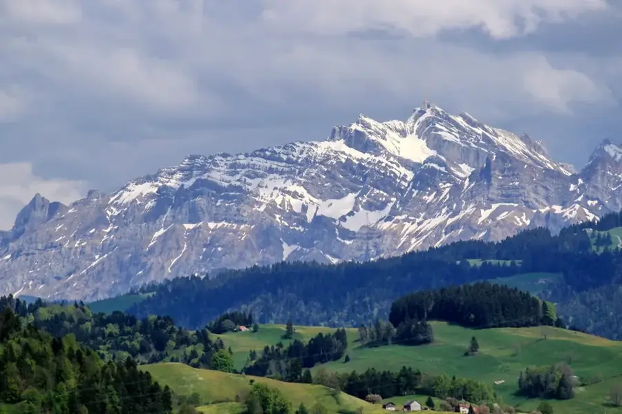
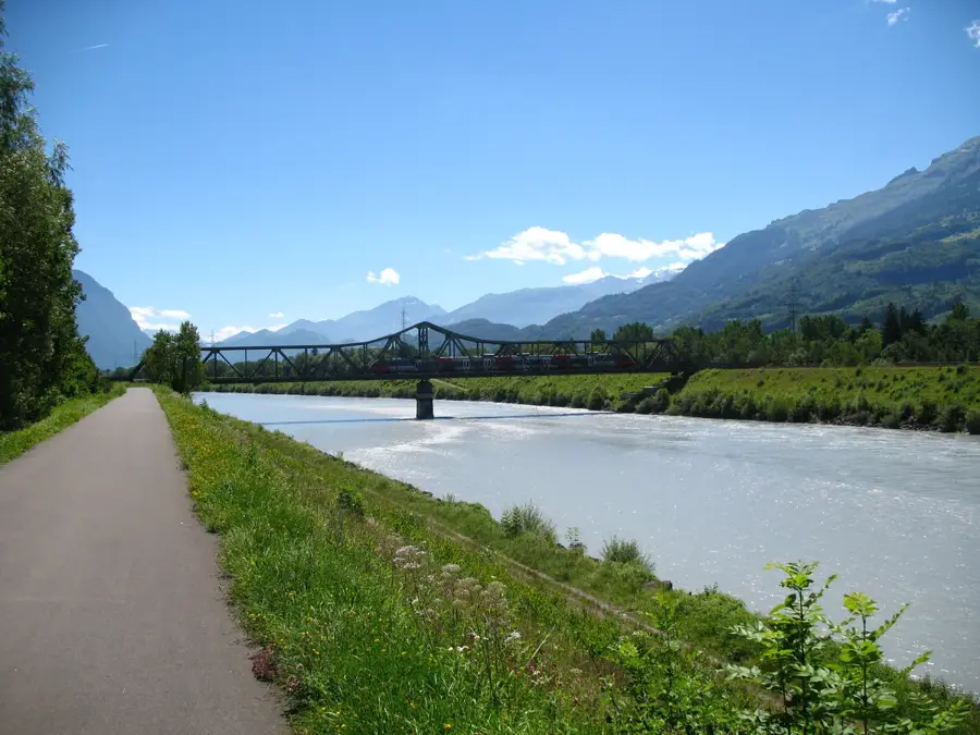
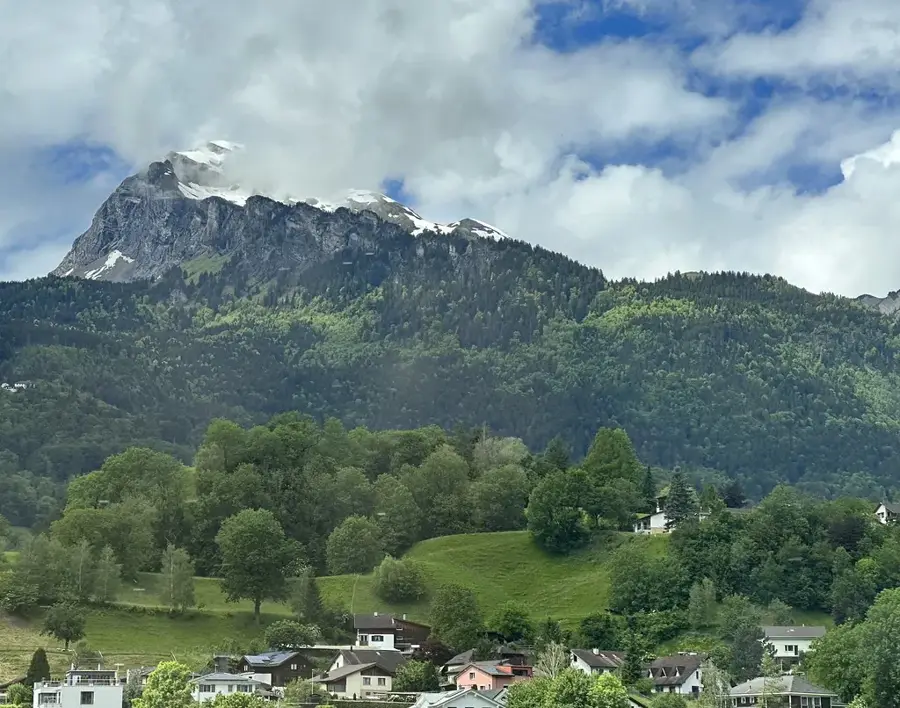
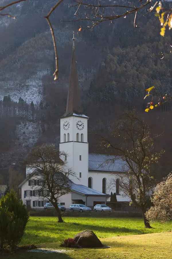
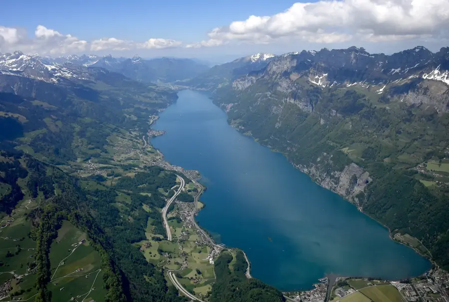
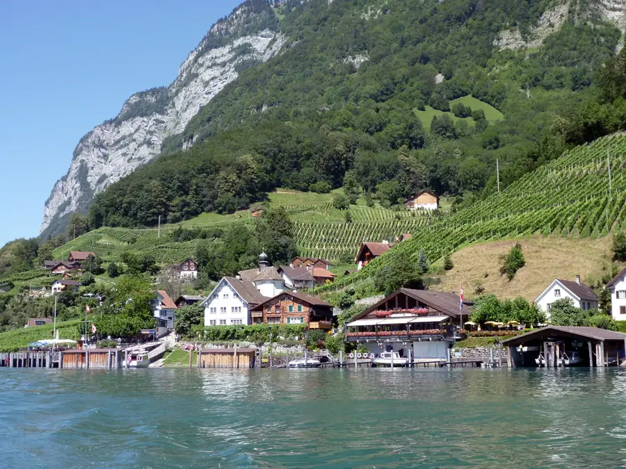
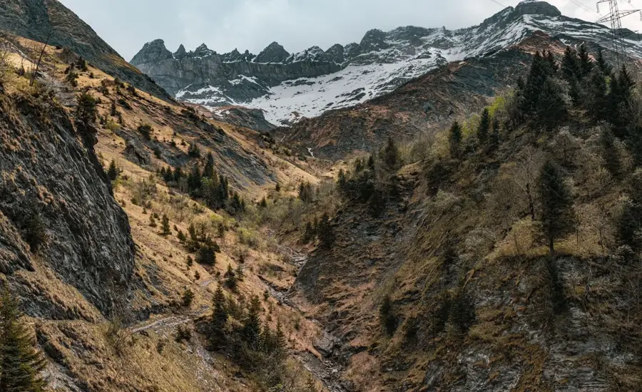
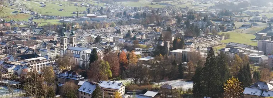
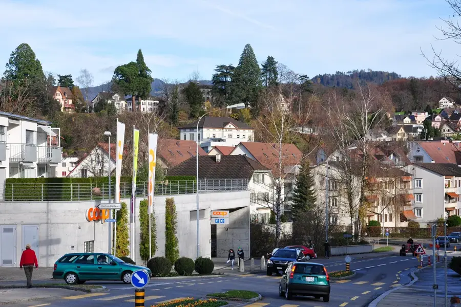
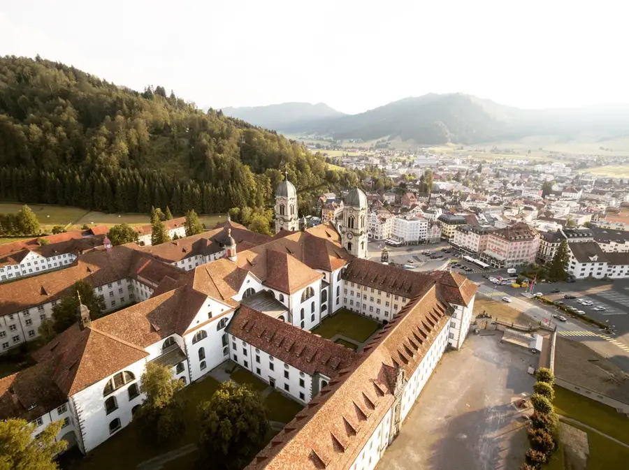
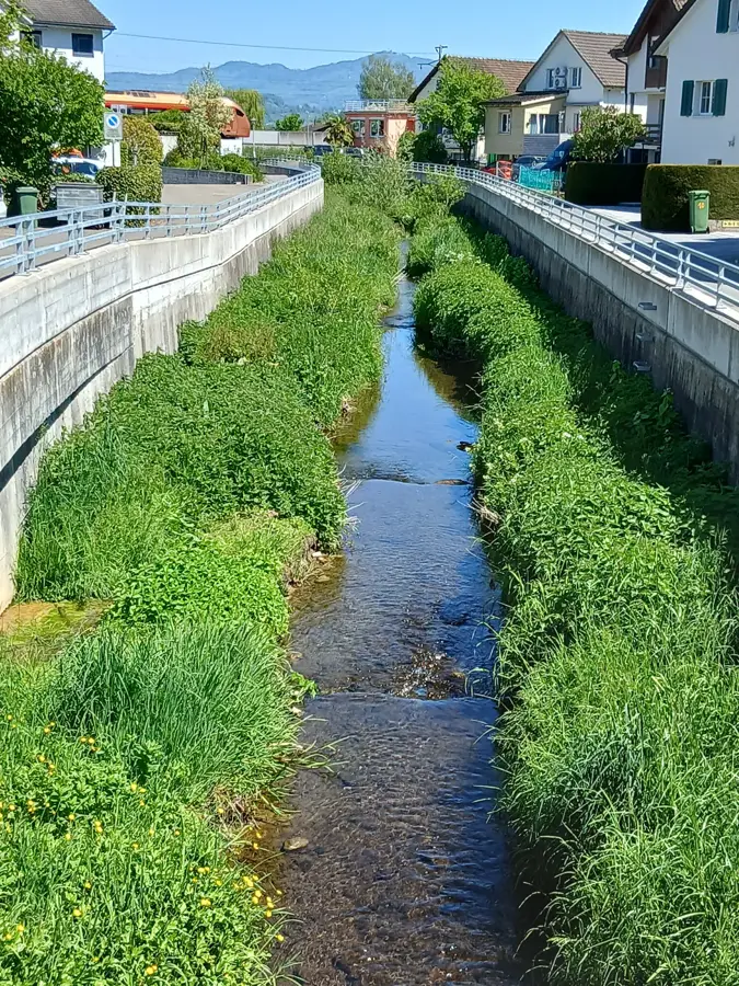
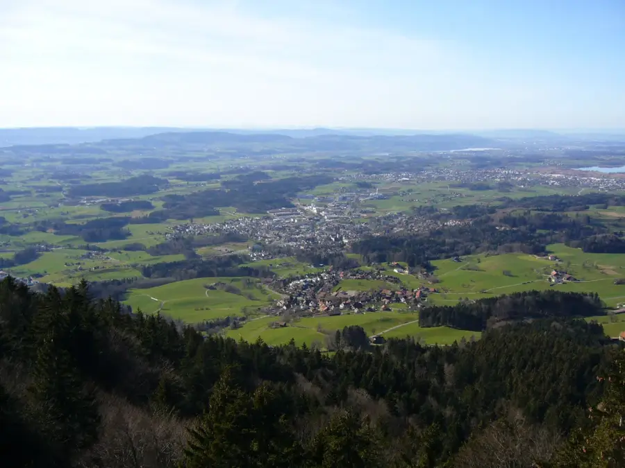
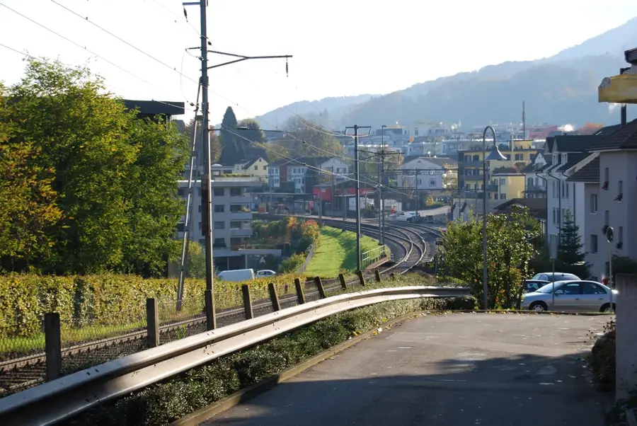
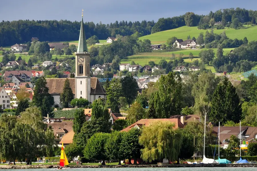
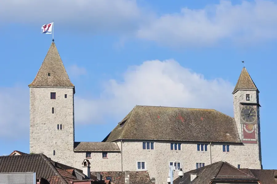
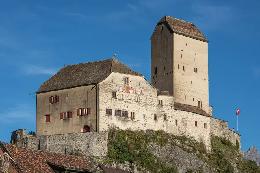
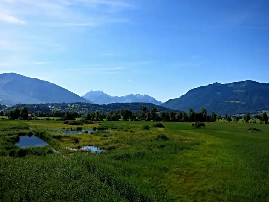
Glarus Nord was established on January 1, 2011, through the merger of eight formerly independent municipalities and is currently the largest municipality in the canton of Glarus by area. The municipality extends from the Linth plain at approximately 420 meters up to the alpine peaks of the Glarus Alps, with the Muertschenstock forming a prominent landmark. Geographically, Lake Walen dominates the north, while the Kerenzerberg represents an important transport link toward Graubuenden. Historically, the village of Naefels is of outstanding significance; it was the site of the Battle of Naefels in 1388, which secured the final victory of the Glarus people over the Habsburgs and remains a central event in Swiss history. The architectural heritage includes magnificent buildings such as the Freulerpalast in Naefels, which now houses the Cantonal Museum. The municipality's economy today is a diverse mix of industry, innovative small businesses, and tourism. The Linth correction in the 19th century was decisive for the region's development, as it made the plain arable and protected it from flooding. In terms of tourism, Lake Walen with its water sports opportunities and the hiking and skiing area of Filzbach offer attractive destinations. Glarus Nord serves as the economic engine of the canton and benefits from good connections to the greater Zurich area via motorway and rail. The municipality places great emphasis on promoting quality of life by preserving natural spaces and strengthening local village communities.
- Location: Switzerland
- Top sights: Freulerpalast · Lake Walen · Kerenzerberg
- Nearby: Glarus (9 km)
- Population: ~18.227
Best time to visit & climate
The most pleasant time to visit is Jul–Sep.
| Jan | Feb | Mar | Apr | May | Jun | Jul | Aug | Sep | Oct | Nov | Dec | |
|---|---|---|---|---|---|---|---|---|---|---|---|---|
| Avg °C | -4 | -4 | 1 | 5 | 10 | 14 | 16 | 15 | 11 | 7 | 2 | -3 |
| Rain mm | 101 | 81 | 102 | 107 | 163 | 176 | 173 | 190 | 124 | 110 | 103 | 106 |
Geography
Facts
- Formed by the merger of 8 municipalities in 2011
- The Freulerpalast in Naefels is considered a Renaissance gem
- The Battle of Naefels is celebrated annually in April
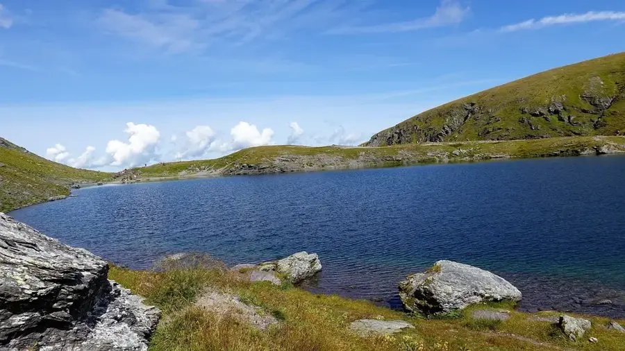
- Lake Walen reaches depths of up to 151 meters
- The municipality covers an area of over 146 square kilometers
- Important location for the plastics and metal industries
Explore nearby
Notable places around
Route planner — Car & Motorhome
Where do you start? We build the route here, with stops and country notes along the way.
© OpenStreetMap contributors · OpenRouteService
Sights in the town Glarus Nord (23)
Frequently asked questions
What is Glarus Nord?
Which lake is in Glarus Nord?
Are there hiking areas?
What is a culinary specialty?
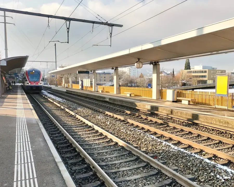
How to reach Glarus Nord?
Glarus Nord: where is it located?
Glarus Nord: what is there to see?
Glarus Nord: when is the best time to visit?
Glarus Nord: why is it worth visiting?

Nearby cities
History & landmarks
Nature
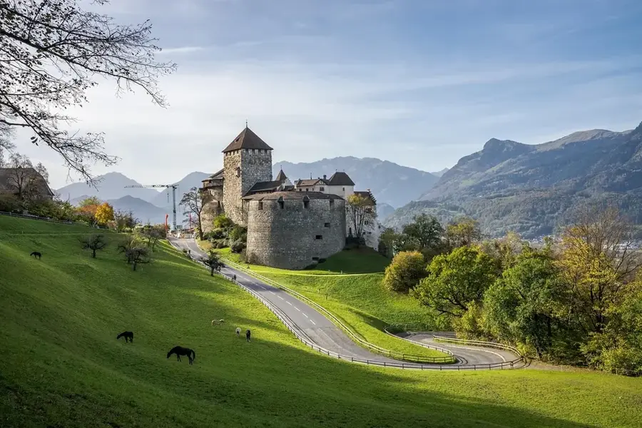
More places