Plizio Visual Lab
Hochwang
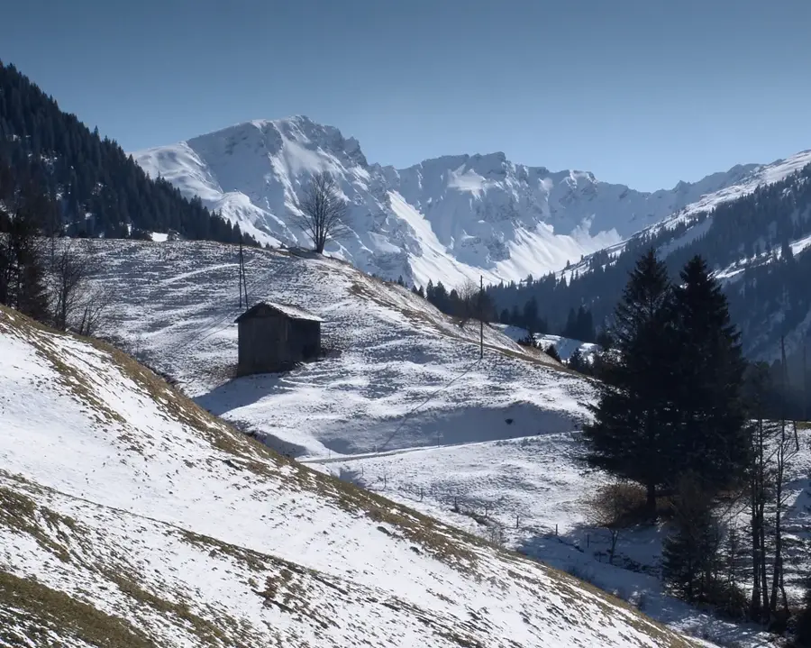
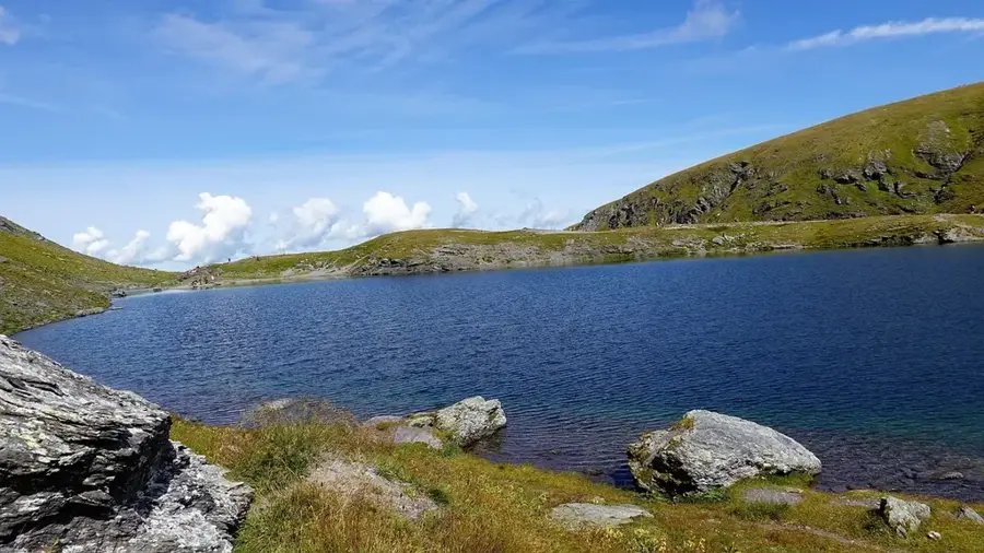
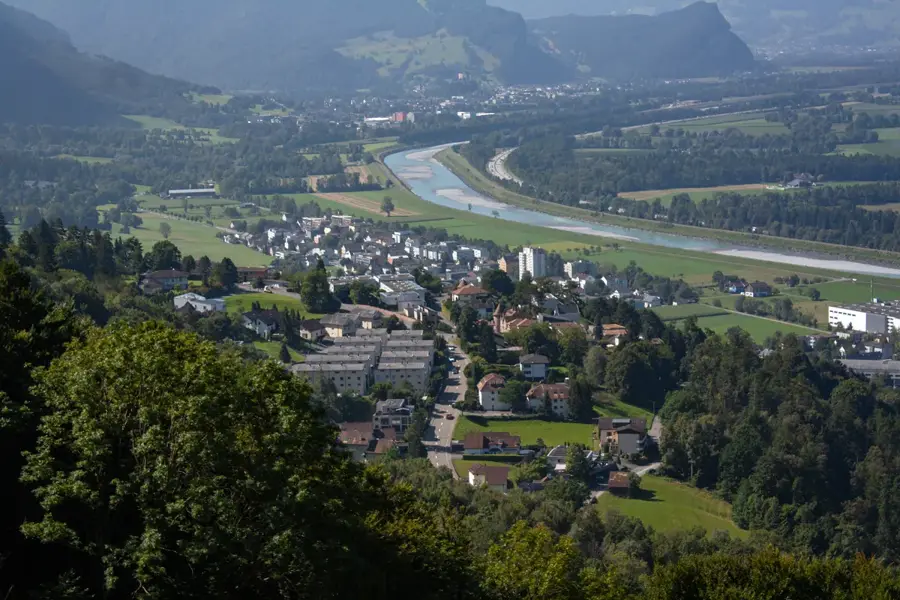
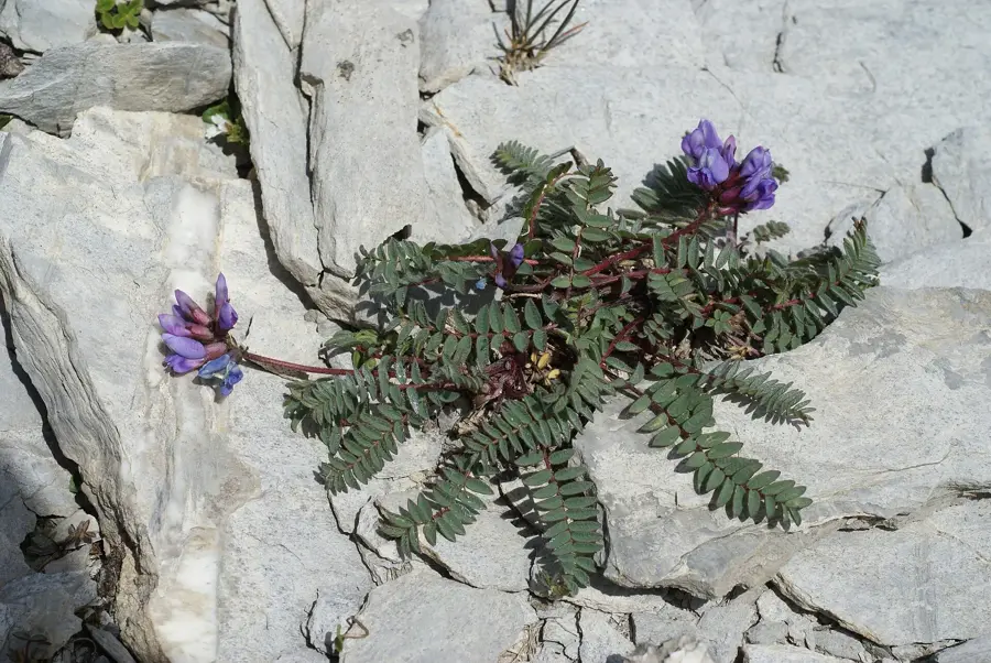
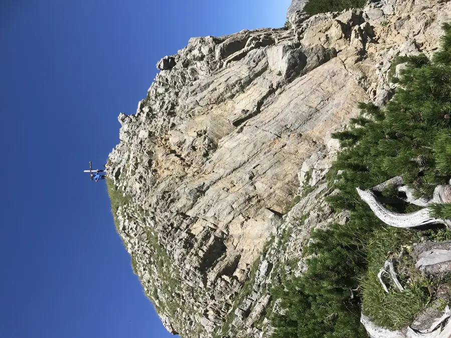
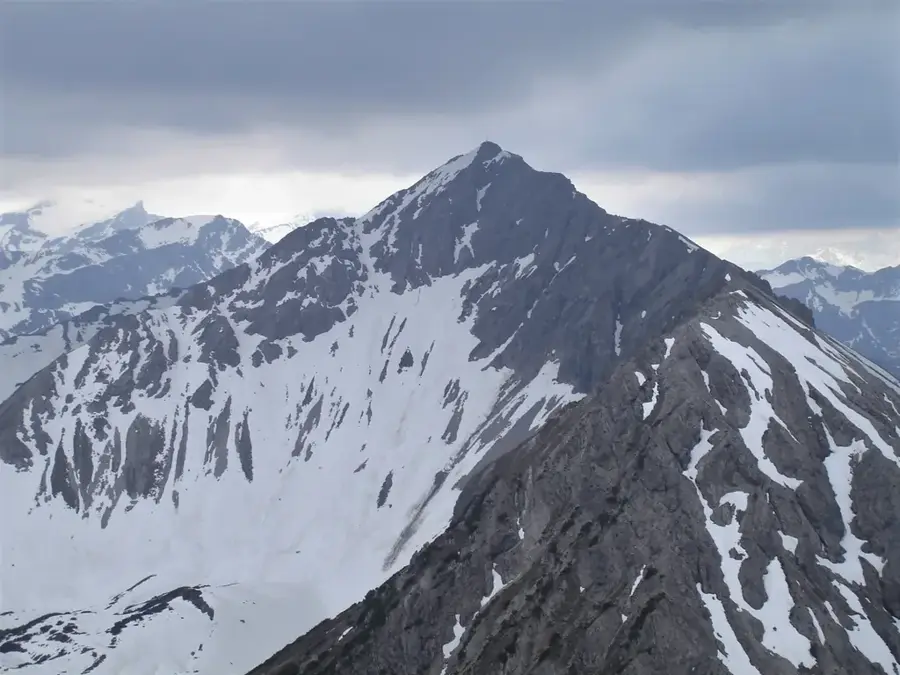
Hochwang is a prominent mountain peak in the Plessur Alps, geographically closely linked to the relief of the region surrounding Liechtenstein and Graubünden. With an elevation of 2533 meters, it dominates the landscape between the Schanfigg valley and the Rhine Valley. Its geological structure is characterized by metamorphic rocks and slate, resulting in a smoother summit profile compared to the limestone peaks of the Rätikon range. Historically, the area was utilized for high-altitude alpine farming, with its broad slopes providing convenient conditions for summer livestock grazing. During the winter, the region is a well-known destination for ski touring, as the expansive slopes offer reliable snow conditions. Viewed from Liechtenstein, the Hochwang massif is a defining feature of the southern horizon and serves as a vital reference point for regional weather patterns. The local flora includes rare alpine herbs and grasses adapted to the extreme high-altitude environment.
- Location: Liechtenstein
- Top sights: Eichenhaft · Heidihaus · Heidis Alphütte
- Nearby: Höfle (5 km)
Best time to visit & climate
The most pleasant time to visit is Jul–Sep.
| Jan | Feb | Mar | Apr | May | Jun | Jul | Aug | Sep | Oct | Nov | Dec | |
|---|---|---|---|---|---|---|---|---|---|---|---|---|
| Avg °C | -6 | -5 | -1 | 4 | 8 | 13 | 14 | 14 | 10 | 6 | 0 | -4 |
| Rain mm | 92 | 70 | 91 | 93 | 147 | 173 | 169 | 185 | 121 | 103 | 91 | 93 |
📋 Practical info
Geography
Facts
- The peak elevation of Hochwang is 2533 meters above sea level.
- It stands as the highest point of the Plessur Alps mountain group.
- Geologically, the mountain is primarily composed of Bündner slate.
- The first documented tourist ascent took place in the 19th century.
- The summit offers a 360-degree view from Lake Constance to the Bernese Alps.
- During winter, Hochwang is a classic destination for alpine ski touring.
Explore nearby
Notable places around
Route planner — Car & Motorhome
Where do you start? We build the route here, with stops and country notes along the way.
© OpenStreetMap contributors · OpenRouteService
Sights in the town Hochwang (10)
Rathausstall / Tourstart🏛 museum
Starting point for tours and exhibitions about Heidi in Maienfeld.
Kleine Schanze🏰 castle
Medieval fortification in Maienfeld, part of the military defenses.
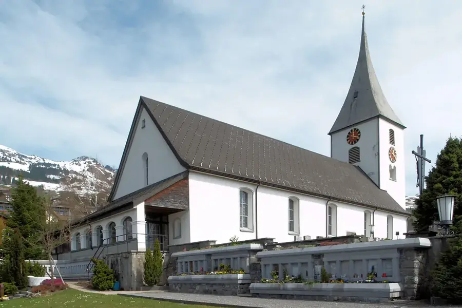
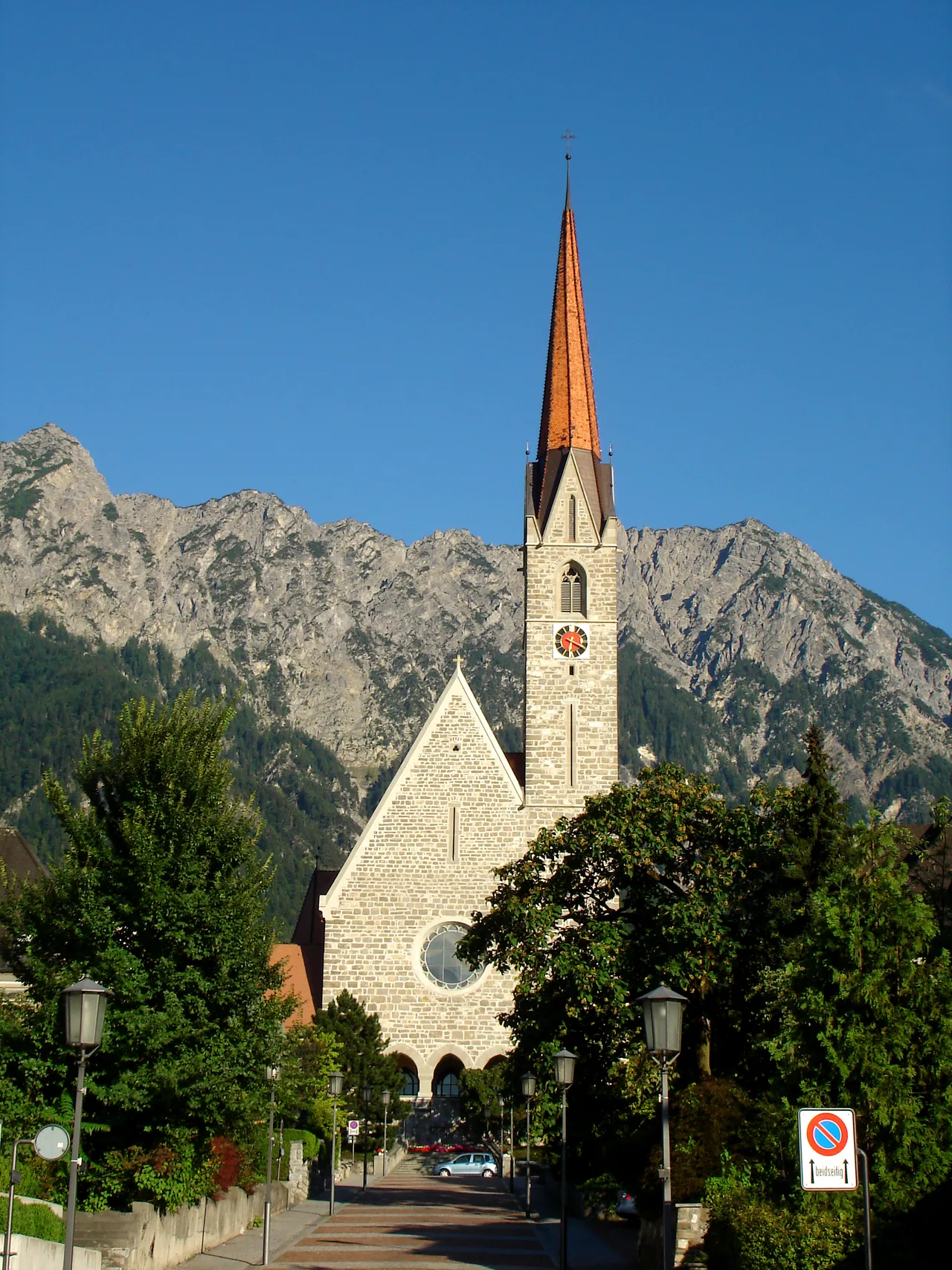
Steigkirche
Church building in Graubünden, Switzerland.
Schloss Salenegg🏰 castle
Manor house and castle in Maienfeld, a residential building with a country estate.
Amanduskirche
Church in Maienfeld dedicated to Saint Amandus.
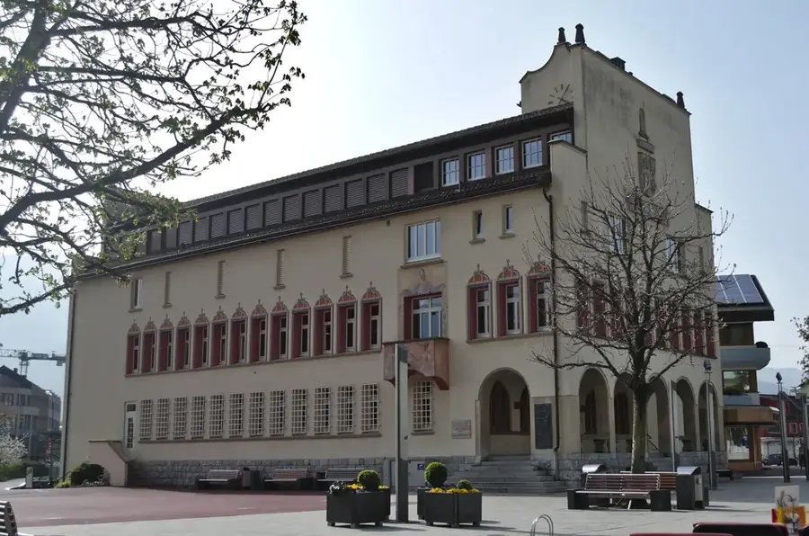
Schloss Maienfeld
Castle and residential building in Maienfeld, a historic structure.
Sights nearby
Frequently asked questions
Where is the Hochwang located?
How high is the summit?
Can you ski there?
Is the mountain suitable for ski touring?
Are there marked summer paths?
Hochwang: where is it located?
Hochwang: what is there to see?
Hochwang: when is the best time to visit?
Hochwang: why is it worth visiting?

History & landmarks
Nature
More places