Plizio Visual Lab
Pizol Foothills
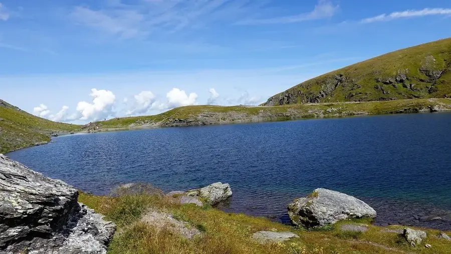
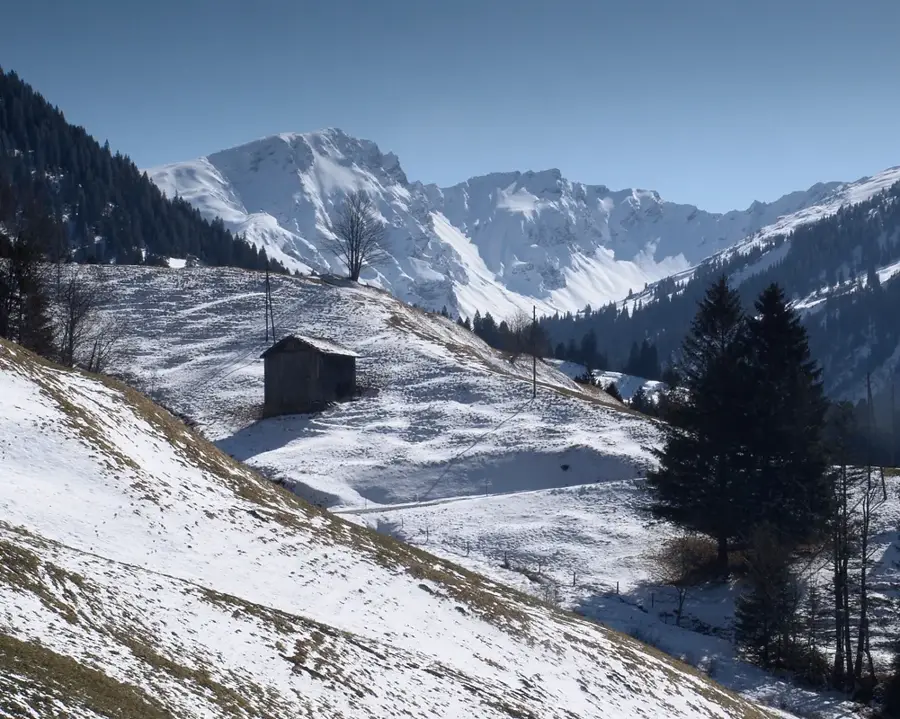
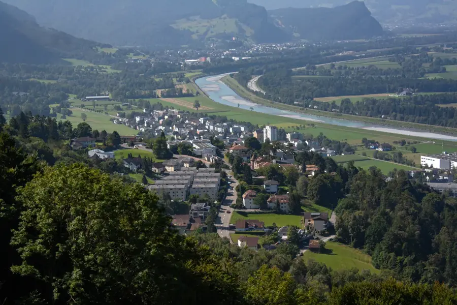
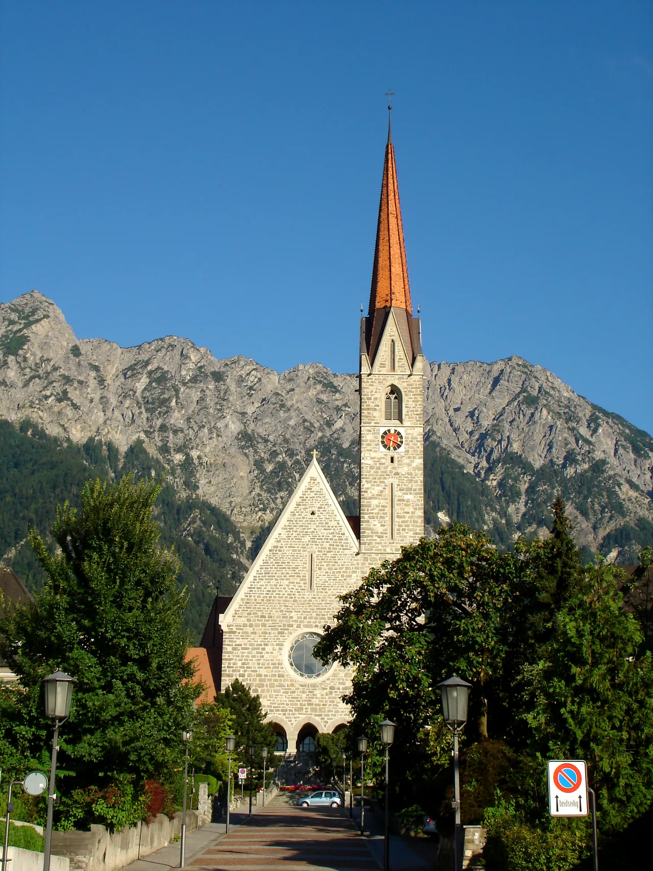
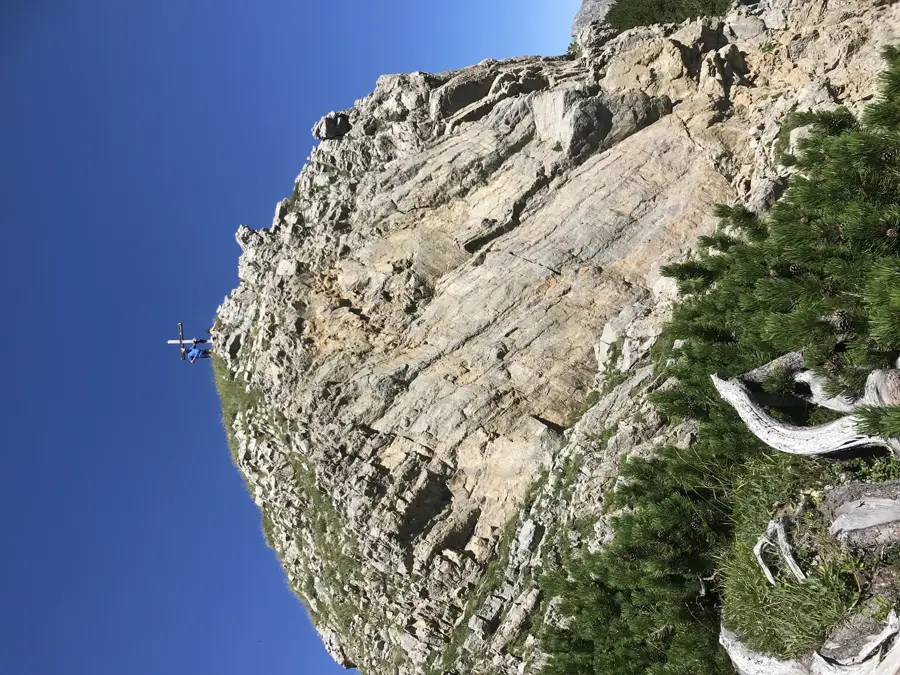
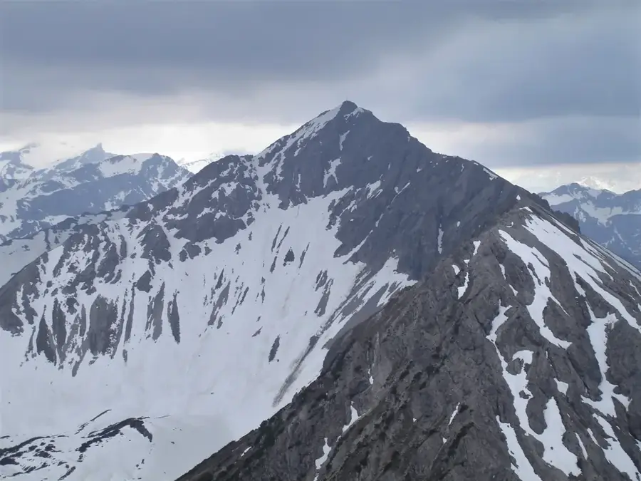
The Pizol Foothills form a significant geographical transition zone between the Pizol massif in Switzerland and the Liechtenstein border within the Rhine Valley. These mountain spurs reach elevations between 1500 and 2200 meters, defining the western landscape of Liechtenstein. Geologically, the foothills are closely related to the Glarus thrust and consist mainly of flysch and limestone layers. The region is characterized by dense mountain forests and extensive alpine meadows, which have been used for seasonal livestock farming since the Middle Ages. Their strategic position overlooking the Rhine Valley historically made these slopes important for monitoring trade routes along the river. Today, the Pizol Foothills serve as a recreational area for the residents of the Liechtenstein lowlands, offering numerous hiking trails and vantage points overlooking Vaduz Castle and the peaks of the Rätikon range.
- Location: Liechtenstein
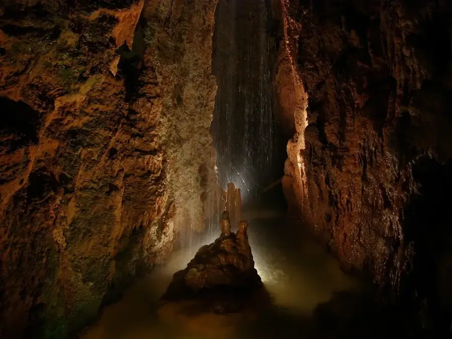
- Top sights: Saarfall · Severgal · Prähistorische Wehranlage Severgall
- Nearby: Höfle (5 km)
Best time to visit & climate
The most pleasant time to visit is Jul–Sep.
| Jan | Feb | Mar | Apr | May | Jun | Jul | Aug | Sep | Oct | Nov | Dec | |
|---|---|---|---|---|---|---|---|---|---|---|---|---|
| Avg °C | -6 | -5 | -1 | 4 | 8 | 13 | 14 | 14 | 10 | 6 | 0 | -4 |
| Rain mm | 92 | 70 | 91 | 93 | 147 | 173 | 169 | 185 | 121 | 103 | 91 | 93 |
📋 Practical info
Geography
Facts
- The foothills extend to the western banks of the Rhine River.
- Highest elevations near the border zone reach approximately 2200 meters.
- Geologically, they belong to the Helvetic nappe system of the Alps.
- The region contains vital drinking water springs for the Rhine Valley.
- Alpine farming has been documented in this area for over 800 years.
- Several hiking trails link Liechtenstein with the Swiss Pizol area.
Explore nearby
Notable places around
Route planner — Car & Motorhome
Where do you start? We build the route here, with stops and country notes along the way.
© OpenStreetMap contributors · OpenRouteService
Sights in the town Pizol Foothills (10)
Burgstelle Spilberg
Site of a former castle in Switzerland, only a few wall remnants remain.
St. Leonhard Kapelle
Chapel in the municipality of Vilters-Wangs, dedicated to Saint Leonard.
Burg Freudenberg
Ruins of a medieval castle near Bad Ragaz, once a residential and defensive structure.
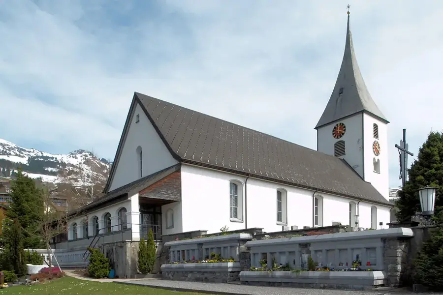
Katholische Kirche St. Medardus
Catholic church building in Vilters in the canton of St. Gallen, Switzerland.
Kräuter-Pfarrer Künzle Museum🏛 museum
Museum in Bad Ragaz showcasing the life and work of herbal priest Johann Künzle.
alte Mühle Vilters
Historic mill in Vilters, a testament to the local milling history.
Guschachopf
Viewpoint on a hill near Vilters offering panoramic views of the region.
Sights nearby
Frequently asked questions
Where are the Pizol foothills located?
What is the Pizol?
Are the hikes family-friendly?
Are there cable cars to Pizol?
What view does the area offer?
Pizol Foothills: where is it located?
Pizol Foothills: what is there to see?
Pizol Foothills: when is the best time to visit?
Pizol Foothills: why is it worth visiting?

History & landmarks
Nature
More places