Plizio Visual Lab
Piz Salamura
Weather…
Water temperature…
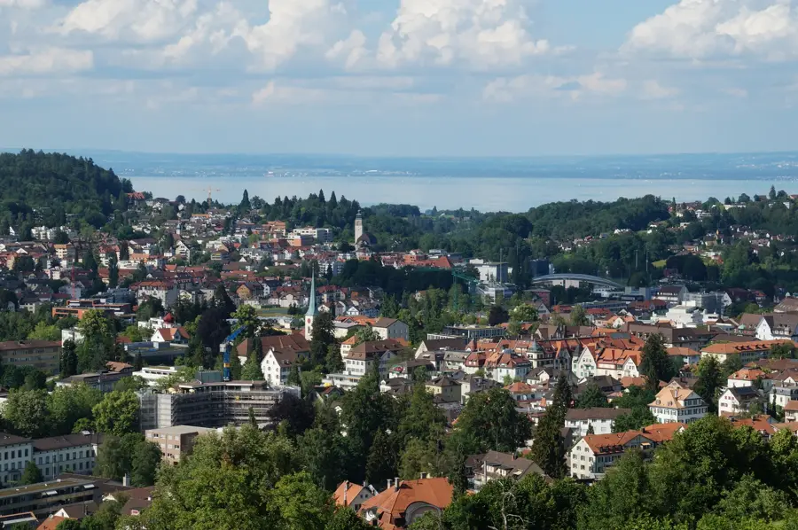
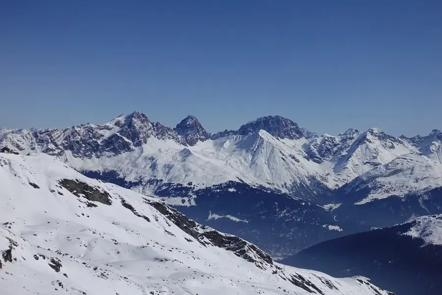
Piz Salamura is a 2810-meter high mountain peak in the Oberhalbstein Alps (Platta Group), situated in the Swiss canton of Graubünden. It towers over the villages of Marmorera and Bivio, forming part of the mountain chain that separates the Surses valley from the Avers valley. Geologically, the mountain is composed of various layers of metamorphic rock, typical of the Penninic nappes in this region. Its name is rooted in local lore, with 'Salamura' often linked to ancient grazing rights or local field names. The ascent to the summit is particularly popular with hikers who use the Julier Pass as their starting point. From the top, there is an excellent view of the Marmorera reservoir and the surrounding 3000-meter peaks of the Platta Group. Piz Salamura is regarded as a technically straightforward vantage point, yet it still requires sure-footedness in alpine terrain. In modern times, it also serves as a key landmark for ski mountaineers during the winter season.
- Location: Switzerland
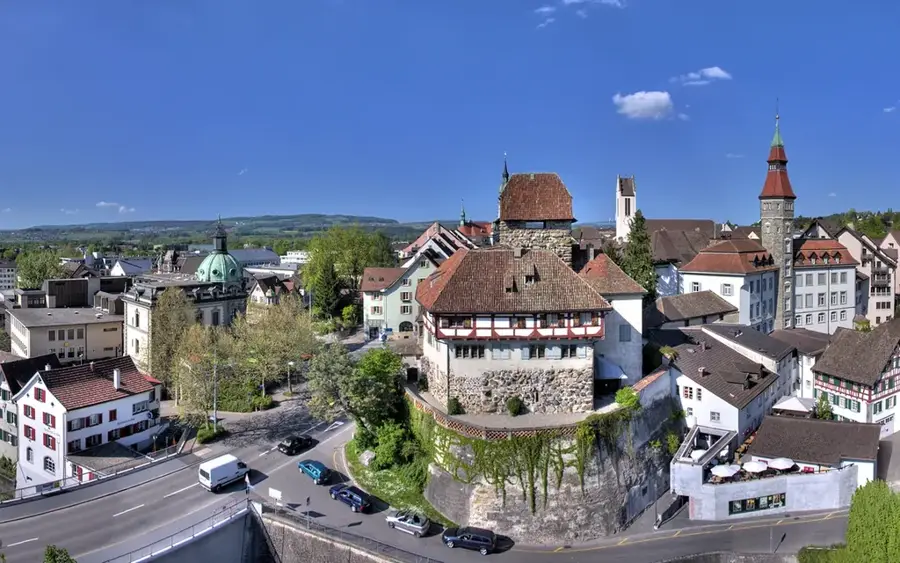
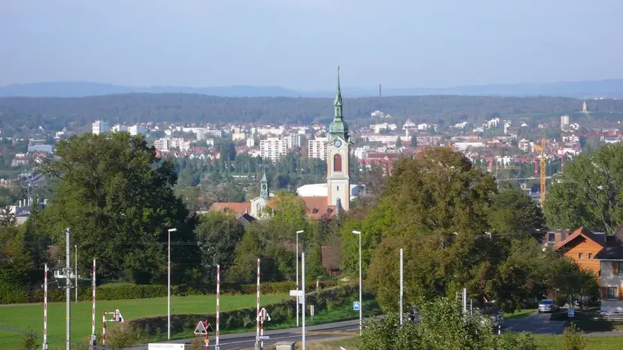
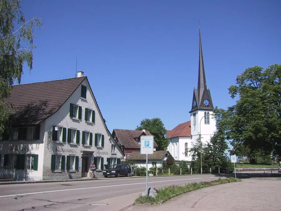
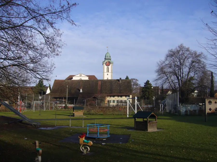
- Top sights: Heimatmuseum Safien · Crap Grisch-Planggenhorn · Plangghoora
- Nearby: Vals (10 km)
Best time to visit & climate
The most pleasant time to visit is Jun–Aug.
| Jan | Feb | Mar | Apr | May | Jun | Jul | Aug | Sep | Oct | Nov | Dec | |
|---|---|---|---|---|---|---|---|---|---|---|---|---|
| Avg °C | -10 | -9 | -5 | 0 | 5 | 10 | 11 | 11 | 7 | 3 | -3 | -8 |
| Rain mm | 64 | 55 | 73 | 98 | 142 | 148 | 143 | 166 | 110 | 114 | 122 | 77 |
📋 Practical info
Geography
Facts
- Elevation: 2810 meters (9,219 feet).
- Range: Oberhalbstein Alps (Platta Group).
- Location: Canton of Graubünden, Switzerland.
- Vantage point: Offers views of the Marmorera dam.
- Geology: Composed of Penninic metamorphic sequences.
- Activity: Common objective for both summer hikers and winter skiers.
Explore nearby
Notable places around
Route planner — Car & Motorhome
Where do you start? We build the route here, with stops and country notes along the way.
© OpenStreetMap contributors · OpenRouteService
Sights in the town Piz Salamura (5)
Sights nearby
Frequently asked questions
Where is Piz Salamura located?
How high is the summit?
Is the trail marked?
Is there a mountain hut there?
What view does the summit offer?
Piz Salamura: where is it located?
Piz Salamura: what is there to see?
Piz Salamura: when is the best time to visit?
Piz Salamura: why is it worth visiting?

Nearby cities