Plizio Visual Lab
Gamsberg
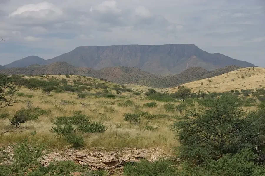
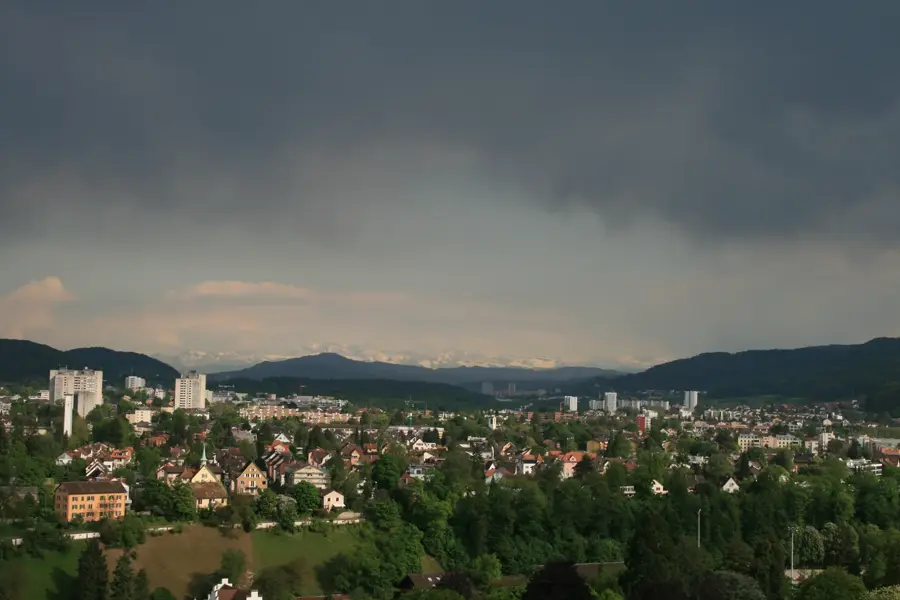
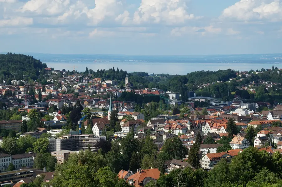
The Gamsberg, with an elevation of 2385 meters above sea level, is the highest peak of the Alvier group in the Canton of St. Gallen. This mountain is characterized by its prominent, plateau-like summit area that drops steeply on all sides. Geologically, the mountain primarily consists of Cretaceous limestone and belongs to the Helvetic nappe. The summit has a comprehensive view of the Rhine Valley, Lake Walen, and the surrounding Appenzell Alps. The first ascent was likely made by local hunters, while the first documented touristic ascent dates back to the early 19th century. Due to its exposed location, the mountain is a demanding destination for mountaineers, especially during unstable weather conditions. Nearby lies the Tectonic Arena Sardona, a UNESCO World Natural Heritage site that illustrates mountain-building processes.
- Location: Switzerland
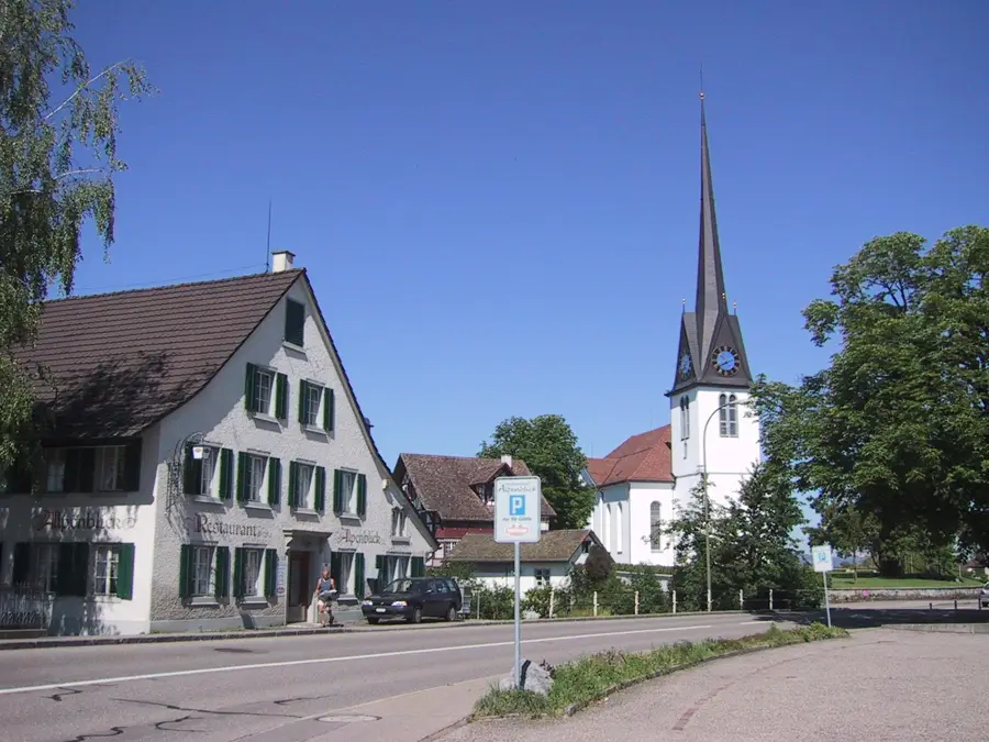
- Top sights: Burg Gräpplang · museumbickel · Altes Rathaus
- Nearby: Quinten (6 km)
Best time to visit & climate
The most pleasant time to visit is Jul–Sep.
| Jan | Feb | Mar | Apr | May | Jun | Jul | Aug | Sep | Oct | Nov | Dec | |
|---|---|---|---|---|---|---|---|---|---|---|---|---|
| Avg °C | -6 | -5 | -1 | 4 | 8 | 13 | 14 | 14 | 10 | 6 | 0 | -4 |
| Rain mm | 92 | 70 | 91 | 93 | 147 | 173 | 169 | 185 | 121 | 103 | 91 | 93 |
📋 Practical info
Geography
Facts
- The summit height is exactly 2385 meters above sea level.
- The mountain is the highest elevation in the Alvier group.
- Geologically, the summit structure consists of Seewer limestone.
- Gamsberg is located within the municipalities of Grabs and Sevelen.
- A prominent geological fault runs through the southern flank.
- From the summit, seven countries/states are theoretically visible in clear weather.
Explore nearby
Notable places around
Route planner — Car & Motorhome
Where do you start? We build the route here, with stops and country notes along the way.
© OpenStreetMap contributors · OpenRouteService
Sights in the town Gamsberg (9)
Sights nearby
Frequently asked questions
How high is Gamsberg?
In which region is the mountain located?
Is the summit easy to reach?
Are there cable cars to Gamsberg?
What is special about the summit?
Gamsberg: where is it located?
Gamsberg: what is there to see?
Gamsberg: when is the best time to visit?
Gamsberg: why is it worth visiting?

Nearby cities