Plizio Visual Lab
Muota River
Weather…
Water temperature…
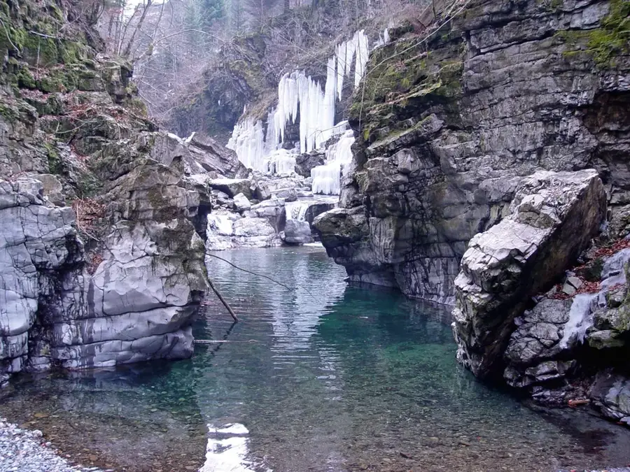
The Muota is a 33-kilometer-long river in the Canton of Schwyz, originating in the headwaters above the Bisis Valley. It flows through the Muota Valley and joins Lake Lucerne at Brunnen. The river is most famous for the Hölloch, one of the world's largest karst cave systems, which was shaped over millennia by the drainage and erosive power of the Muota and its tributaries. The Muota has a wild and often unpredictable character, frequently experiencing massive rises in water levels during snowmelt or heavy rainfall. Historically, the river was used for timber floating, transporting wood from the valley's dense forests toward Lake Lucerne. Today, the Muota is a popular destination for whitewater paddlers and fly fishers who appreciate the natural dynamics of the waterway.
- Location: Switzerland
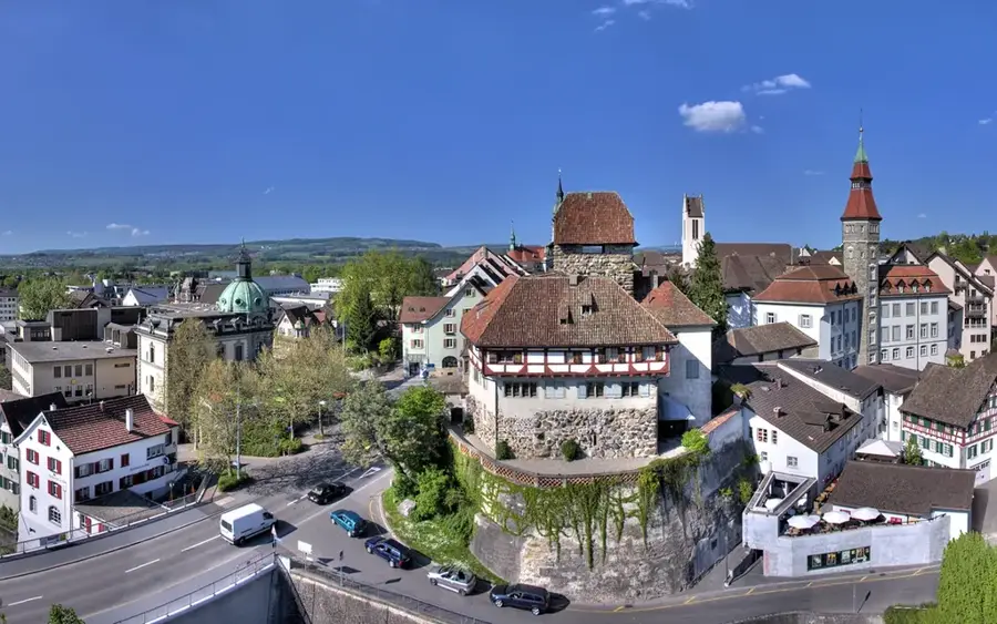
- Top sights: Schlösschen Beroldingen · Teufelsmünster · Schwandenfluh
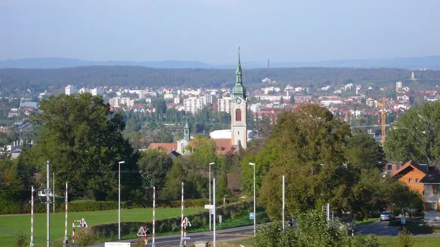
- Nearby: Ingenbohl (5 km)
Best time to visit & climate
The most pleasant time to visit is Jul–Sep.
| Jan | Feb | Mar | Apr | May | Jun | Jul | Aug | Sep | Oct | Nov | Dec | |
|---|---|---|---|---|---|---|---|---|---|---|---|---|
| Avg °C | -4 | -4 | 1 | 5 | 10 | 14 | 16 | 15 | 11 | 7 | 2 | -3 |
| Rain mm | 101 | 81 | 102 | 107 | 163 | 176 | 173 | 190 | 124 | 110 | 103 | 106 |
📋 Practical info
Geography
Facts
- Total length of 33 km
- Drainage basin covers 316 km²
- Carved out the Hölloch cave system
- Flows into Lake Lucerne at Brunnen
- Historically used for timber floating
- Flows through Bisistal and Muota Valley
Explore nearby
Notable places around
Route planner — Car & Motorhome
Where do you start? We build the route here, with stops and country notes along the way.
© OpenStreetMap contributors · OpenRouteService
Sights in the town Muota River (10)
Marienhöhe
Viewpoint with a view of Lake Uri and the Alps.
Dachsenlöcher
Viewpoint along the trail, known for its rock formations.
Tellskapelle
Chapel in Sisikon, Uri, commemorating the William Tell legend.
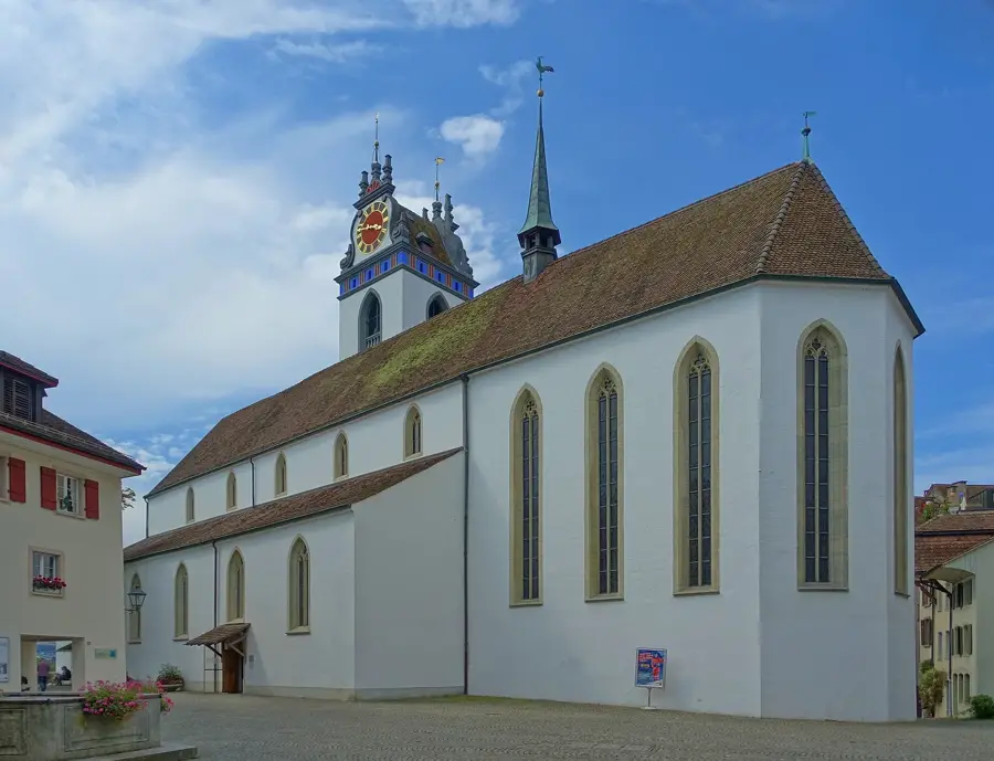
Kath. Kirche St. Ida
Catholic church in the municipality, dedicated to Saint Ida.
Lieu du serment
Historic site where the Rütli Oath is said to have been taken.
Badestrand Bauen
Public beach on Lake Uri, suitable for swimming and relaxing.
Sights nearby
Frequently asked questions
Which valley does the Muota flow through?
Is the Muota suitable for rafting?
What is the Hölloch near the Muota?
Can you hike along the river?
Does the Muota flow into a lake?
Muota River: where is it located?
Muota River: what is there to see?
Muota River: when is the best time to visit?
Muota River: why is it worth visiting?

Nearby cities