Plizio Visual Lab
Krupina Plain
Weather…
Water temperature…
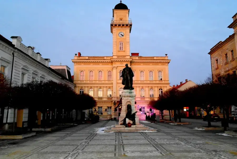
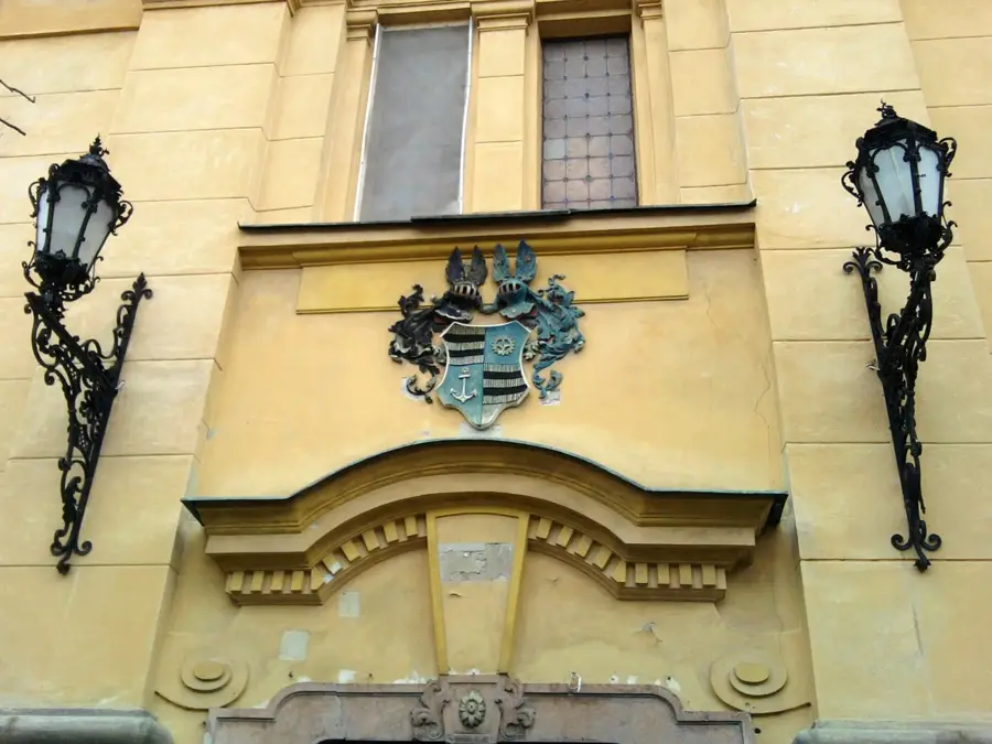
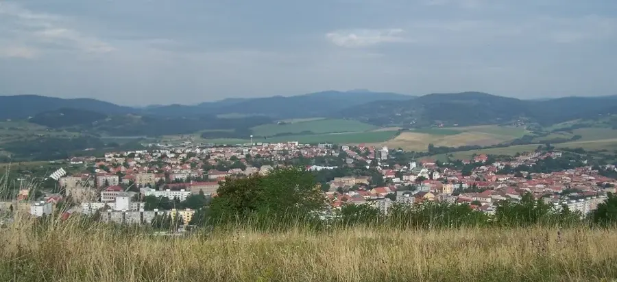
The Krupina Plain (Krupinská planina) is an extensive volcanic plateau in southern Slovakia, forming part of the Slovak Central Mountains. This unique landscape was shaped by Miocene volcanic activity, resulting in a gently undulating upland fragmented by deep erosional valleys. The highest point of the plateau is Kopaný závoz at 775 meters above sea level. A defining characteristic of the region is the 'lazy' settlement pattern, featuring scattered homesteads and small hamlets that blend seamlessly with the natural environment. Historically, the Krupina Plain was a vital defensive line against Ottoman incursions in the 16th and 17th centuries, evidenced by fortified churches and watchtowers like the Vartovka in Krupina. The area is also known for its traditional stonemasonry and unique wine cellars carved directly into the volcanic tuff rock. The local flora includes rare thermophilic species thriving on sunny slopes, while the valleys are home to dense deciduous forests. Today, the plain attracts visitors seeking authentic rural culture, historical sites, and tranquil hiking trails.
- Location: Slovakia
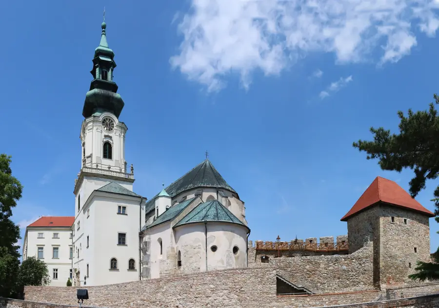
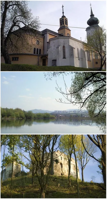
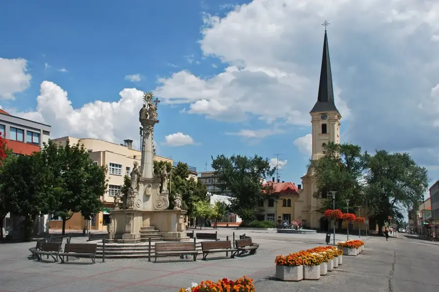
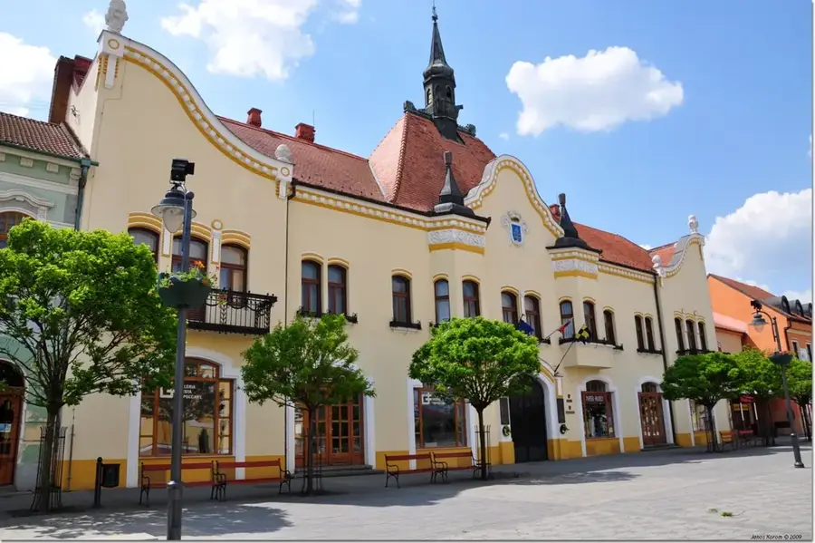
- Top sights: Kozí Vrbovok · Trpín, Krupina District · Horný Badín
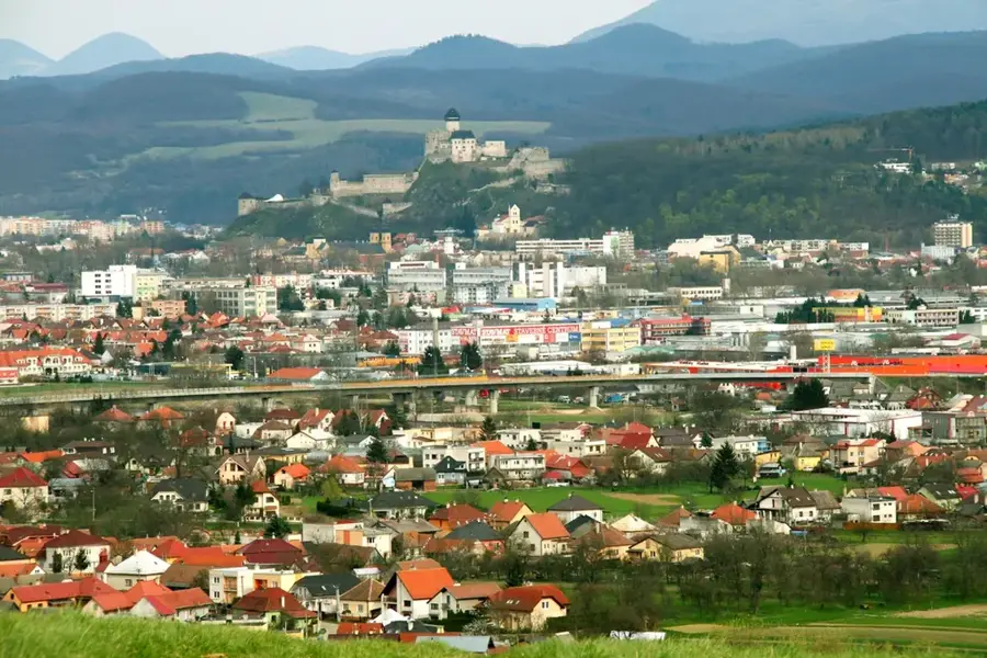
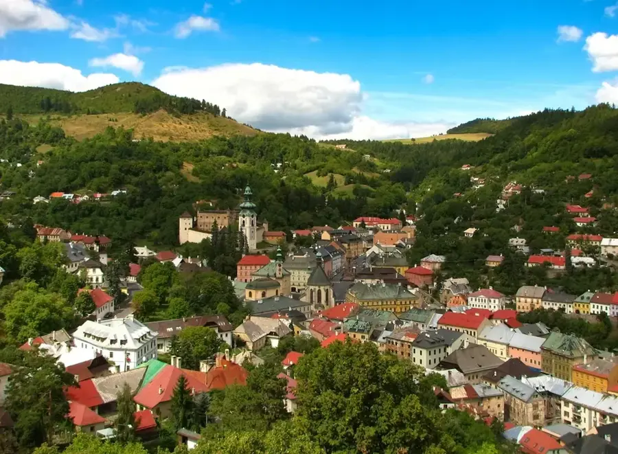
- Nearby: Krupina (9 km)
Best time to visit & climate
The most pleasant time to visit is Jun–Aug.
| Jan | Feb | Mar | Apr | May | Jun | Jul | Aug | Sep | Oct | Nov | Dec | |
|---|---|---|---|---|---|---|---|---|---|---|---|---|
| Avg °C | -4 | -2 | 3 | 9 | 14 | 18 | 20 | 19 | 14 | 9 | 3 | -2 |
| Rain mm | 52 | 46 | 47 | 40 | 72 | 74 | 78 | 66 | 61 | 56 | 53 | 52 |
📋 Practical info
Geography
Facts
- Kopaný závoz is the highest elevation at 775 meters.
- The plain consists of volcanic materials like tuff and andezite breccias.
- Krupina obtained royal town privileges in 1244.
- The Vartovka watchtower was erected in 1564 against the Turks.
- The 'lazy' settlements are a unique form of dispersed rural architecture.
- Ancient stone carvings and cellars are found throughout the region.
Explore nearby
Notable places around
Route planner — Car & Motorhome
Where do you start? We build the route here, with stops and country notes along the way.
© OpenStreetMap contributors · OpenRouteService
Sights in the town Krupina Plain (3)
Sights nearby
Frequently asked questions
What characterizes the Krupina Plain?
What curiosities are there in Lišov?
Are there castles on the plateau?
Is the region known for viticulture?
How high is the plateau?
Krupina Plain: where is it located?
Krupina Plain: what is there to see?
Krupina Plain: when is the best time to visit?
Krupina Plain: why is it worth visiting?

Nearby cities