Plizio Visual Lab
Horná Orava Protected Landscape Area
Weather…
Water temperature…
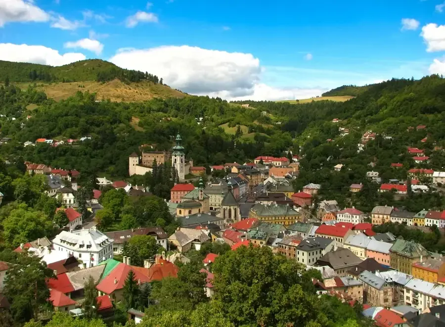
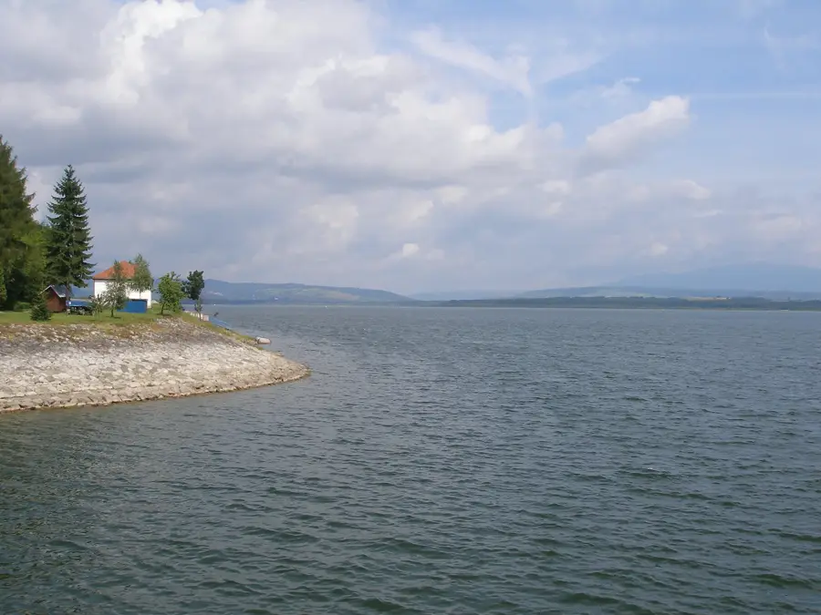
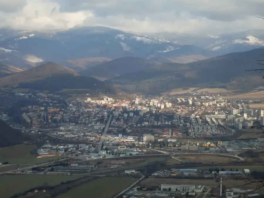
In the cool north of Slovakia, right on the Polish border, lies the Horná Orava (Upper Orava) Protected Landscape Area, established in 1979. The 587-square-kilometer region is dominated by the massive Orava Reservoir, which not only serves energy production but has also developed into an essential resting place for thousands of migratory birds. Unique to Horná Orava, however, are its valuable raised bogs and peatland landscapes, which represent a relict from the last Ice Age. These wet depressions harbor highly specialized flora, including insectivorous sundew species and rare orchids. The harsh, almost Scandinavian microclimate also promotes the growth of dense spruce forests, home to a rich boreal fauna. In addition to its floristic significance, the region is a central refuge for endangered animal species; the abundance of water supports populations of the Eurasian otter, while the remote forests offer shelter to the brown bear and the western capercaillie.
- Location: Slovakia
- Top sights: Rozhľadňa Klin · Kostol sv. Jakuba · Obecný úrad Bobrov
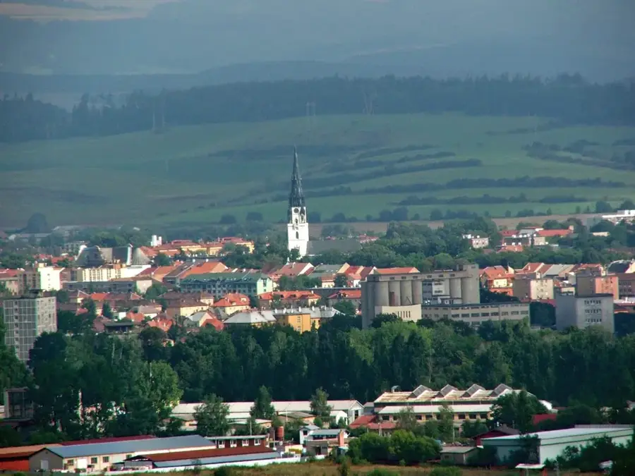
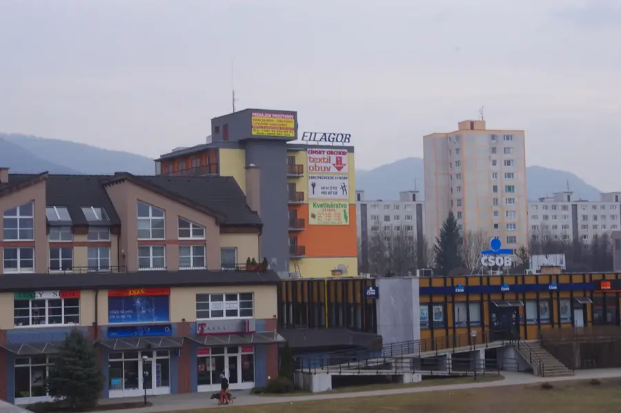
- Nearby: Námestovo (4 km)
Best time to visit & climate
The most pleasant time to visit is Jun–Aug.
| Jan | Feb | Mar | Apr | May | Jun | Jul | Aug | Sep | Oct | Nov | Dec | |
|---|---|---|---|---|---|---|---|---|---|---|---|---|
| Avg °C | -5 | -4 | 0 | 7 | 12 | 15 | 17 | 17 | 12 | 7 | 2 | -3 |
| Rain mm | 63 | 59 | 64 | 63 | 114 | 118 | 129 | 94 | 92 | 73 | 60 | 58 |
📋 Practical info
Geography
Explore nearby
Notable places around
Route planner — Car & Motorhome
Where do you start? We build the route here, with stops and country notes along the way.
© OpenStreetMap contributors · OpenRouteService
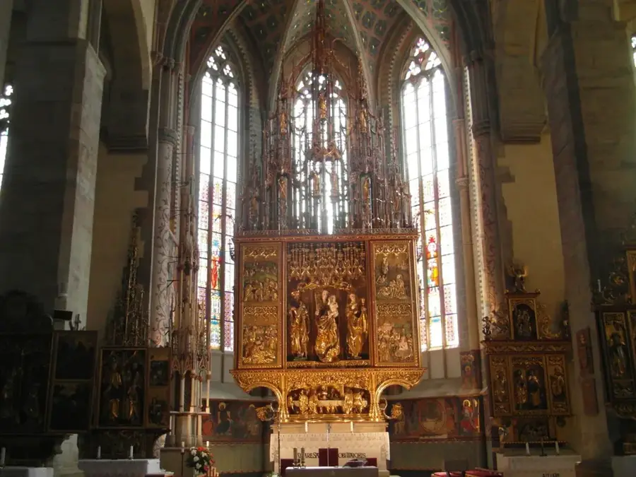
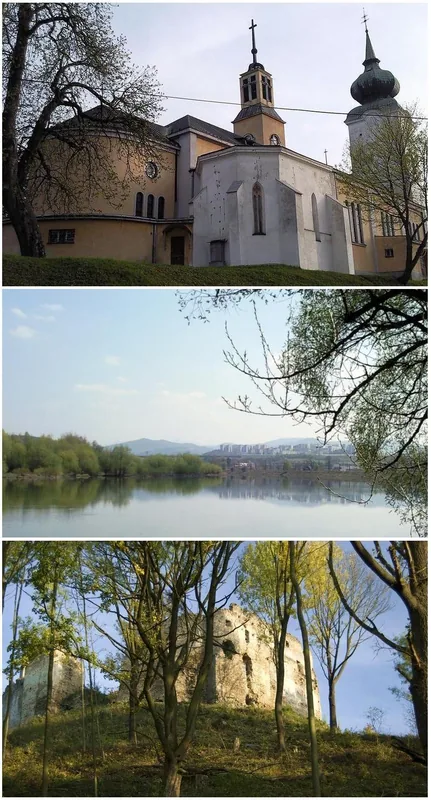
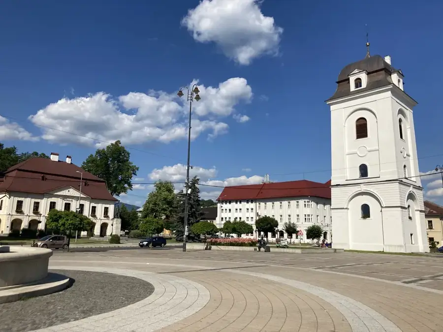
Sights in the town Horná Orava Protected Landscape Area (5)
Obecný úrad Bobrov
Obecný úrad Bobrov is the municipal office of Bobrov, a Slovak municipality.
Slanicky ostrov umenia - Oravska galeria
Slanický ostrov umenia, Oravská galéria is a gallery on an island in the Oravská reservoir.
Sights nearby
Frequently asked questions
What is the center of the area?
Can you visit Bird Island?
What are peat bogs?
Which mountain is popular?
How is the weather?
Horná Orava Protected Landscape Area: where is it located?
Horná Orava Protected Landscape Area: what is there to see?
Horná Orava Protected Landscape Area: when is the best time to visit?
Horná Orava Protected Landscape Area: why is it worth visiting?

Nearby cities


History & landmarks