Plizio Visual Lab
Kenema
ℹ️Practical info — Kenema
▾
🌤 Weather — 5 days
📍 Nearby
Sights nearby
💡 Tips
- Okada (motorcycle taxis) are the fastest way to navigate the bustling city streets, but always negotiate the fare before hopping on.
- Do not photograph the diamond trading offices or mining areas without explicit permission.
- The climate is extremely humid; wear light, breathable clothing and stay hydrated.
- Use Kenema as your base to arrange transport and guides for the nearby Gola Rainforest National Park.
🍽 Food
A heavily spiced, traditional Sierra Leonean stew made from pounded cassava leaves, widely available at local cookshops.
A rich peanut-based soup often served with meat or fish, accompanied by fufu or rice.
A ubiquitous street food snack, usually sold warm by vendors near the central market.
🛍 Shopping · 🧘 Quiet spots
A bustling, colorful market where you can find everything from fresh tropical fruits to spirited West African textiles.
Look for small carved wooden items or locally woven goods sold to support conservation efforts.
Head to the outskirts of town for peaceful hiking trails offering panoramic views over the district.
The visitor center grounds offer a calm, educational environment away from the chaotic city center.
Water temperature…
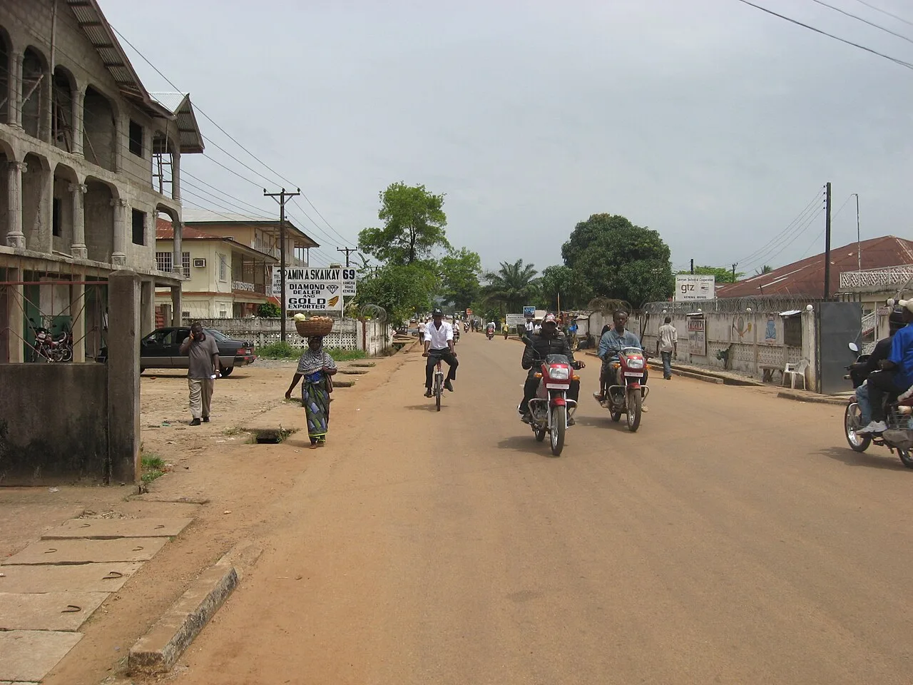
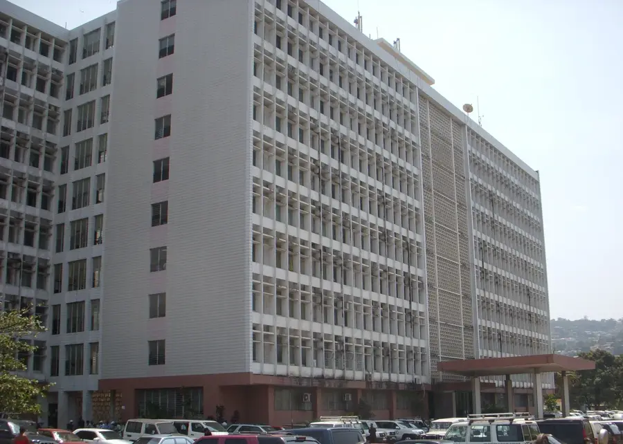
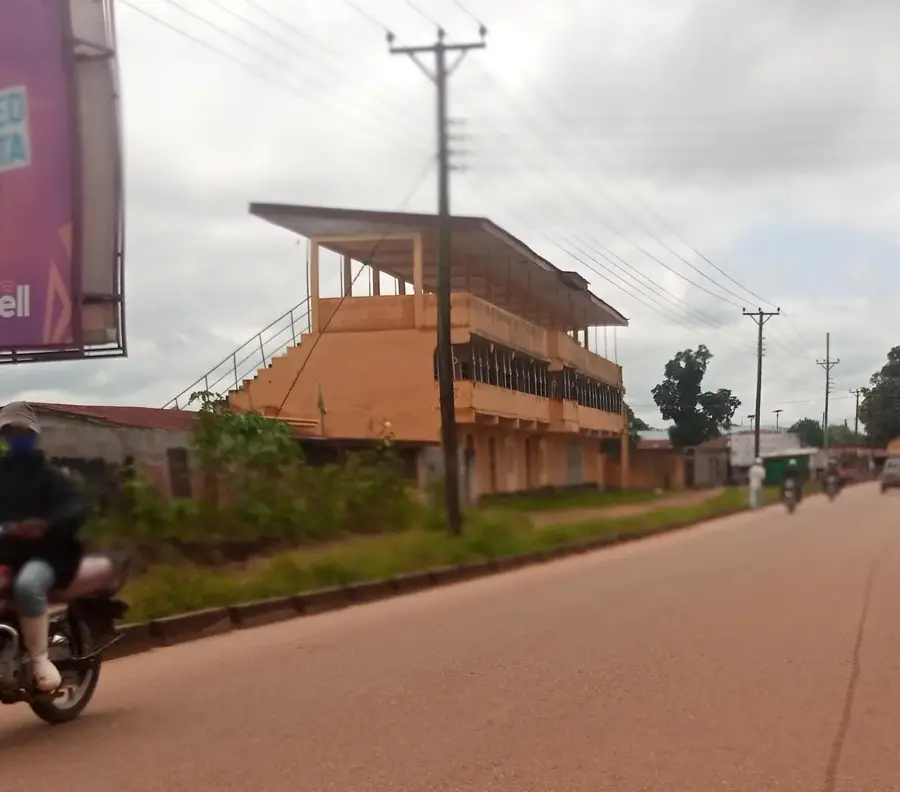
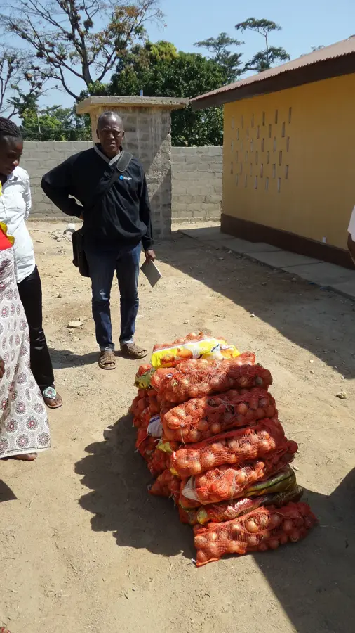
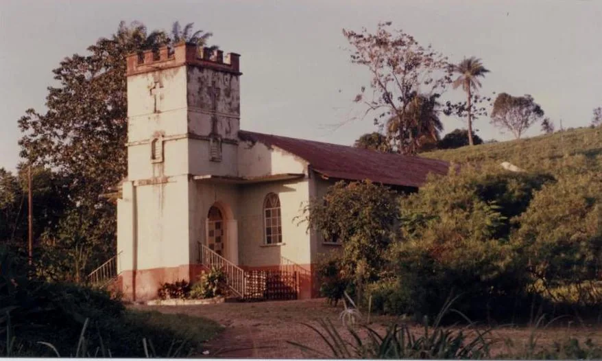
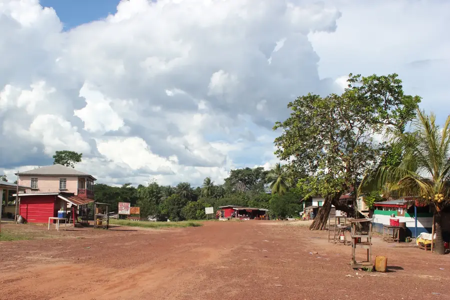
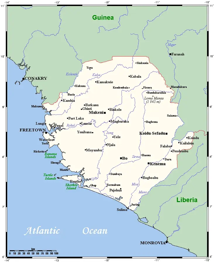
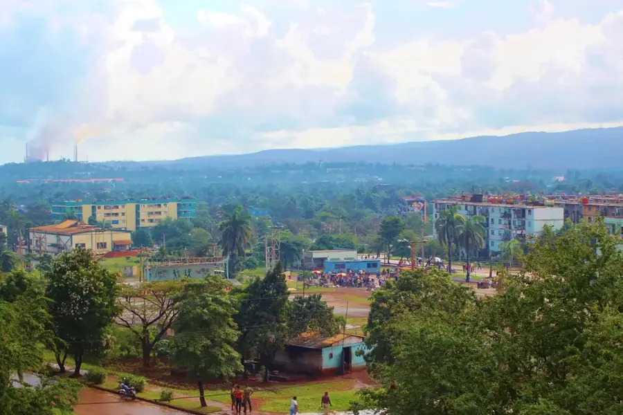
Kenema is the third-largest city in Sierra Leone and the capital of the Eastern Province. It lies in the fertile Mende heartland on the edge of the Kambui Hills and has been a hub for the trade in diamonds, tropical timber, cocoa, coffee, and palm oil since the late 19th century. As early as the 1930s, the railway link to Freetown turned Kenema into an important transshipment point, and after the diamond strikes at Tongo Field and Kono in the 1950s the town developed into one of the best-known diamond trading centers in West Africa. Kenema hosts a branch of the Government Diamond Office and the Kenema Government Hospital, which gained international recognition as a center for Lassa fever research in collaboration with Tulane University and other partners. The city center features colonial administrative buildings, large mosques and churches, and a busy market where Mende, Kissi, Kono, and Lebanese traders mingle. The Kambui Hills to the east contain one of the last patches of rainforest with endemic bird species.
- Location: Sierra Leone
- Nearby: Barma (14 km)
- Population: ~255.110 (2026)
Best time to visit & climate
The most pleasant time to visit is Jan, Feb, Dec.
| Jan | Feb | Mar | Apr | May | Jun | Jul | Aug | Sep | Oct | Nov | Dec | |
|---|---|---|---|---|---|---|---|---|---|---|---|---|
| Avg °C | 26 | 28 | 29 | 29 | 28 | 26 | 24 | 24 | 25 | 25 | 26 | 25 |
| Rain mm | 1 | 7 | 16 | 45 | 116 | 298 | 401 | 457 | 355 | 177 | 52 | 7 |
Geography
Facts
- Administrative capital of the Eastern Province.
- Global center for alluvial diamond mining operations.
- Situated at the base of the Kambui Hills range.
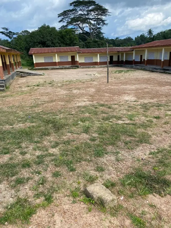
- Home to the Eastern Polytechnic institute.
- Major regional hub for the tropical timber industry.
- Gateway to the Gola Rainforest National Park near Liberia.
Explore nearby
Notable places around
Route planner — Car & Motorhome
Where do you start? We build the route here, with stops and country notes along the way.
© OpenStreetMap contributors · OpenRouteService
Sights in the town Kenema (1)
Frequently asked questions
What is Kenema known for?
Are there accommodations there?
What is the climate like in Kenema?
What can you do nearby?
When is the best time to visit?
Kenema: where is it located?
Kenema: when is the best time to visit?
Kenema: why is it worth visiting?

Nearby cities


History & landmarks

Nature
More places