Plizio Visual Lab
Congo Rouge
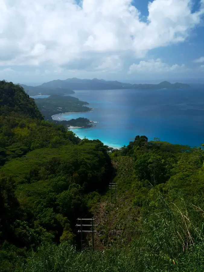
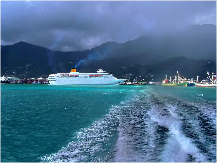
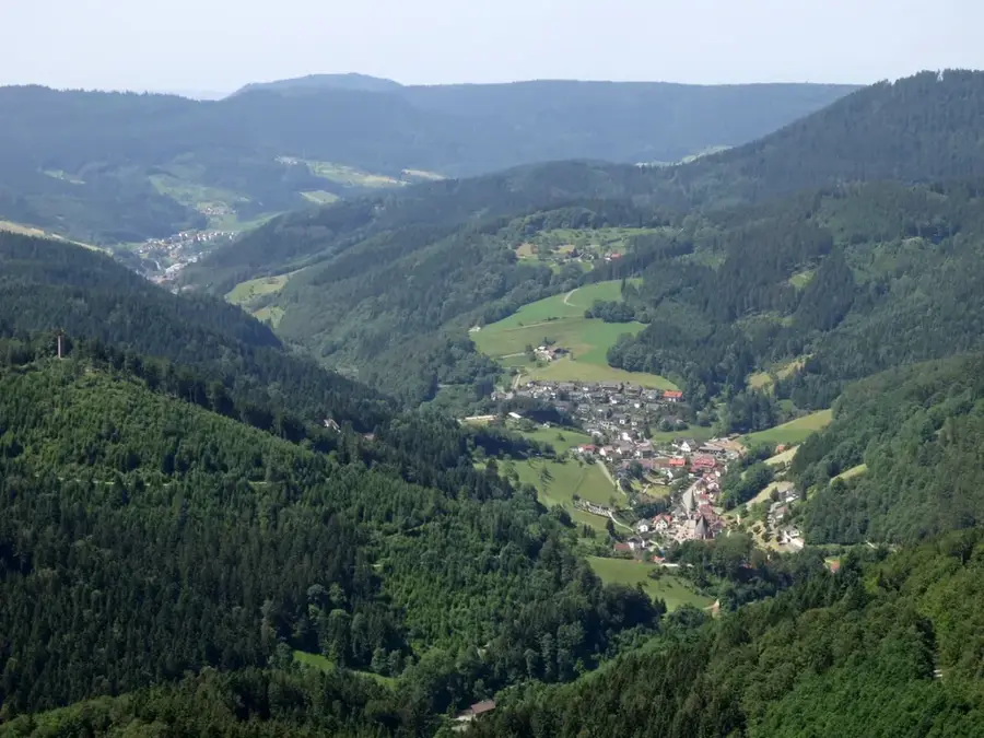
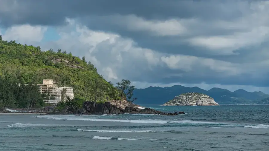
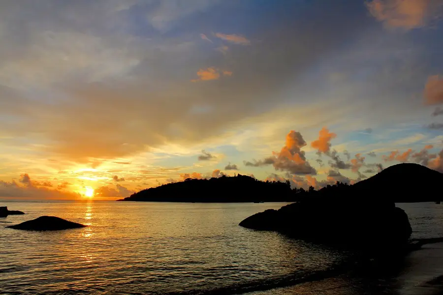
Congo Rouge is a prominent elevation near Freetown, Sierra Leone, known for its steep slopes and strategic position overlooking the Congo Town district. The name 'Congo Rouge' likely refers to the reddish color of the lateritic soil, which is typical for this region. The hill provides an excellent view of the bay and the Sierra Leone River. Geographically, it marks the transition from the flatter coastal zones to the mountainous interior of the peninsula. The surroundings of Congo Rouge are characterized by dense urban settlement on the lower slopes, while the upper areas are often still forested. Historically, this area played a role in the settlement of liberated slaves who arrived in Sierra Leone in the 19th century. During the rainy season, Congo Rouge is a critical point for urban infrastructure due to the susceptibility of lateritic soils to erosion. Conservation efforts focus on stabilizing vegetation on the slopes to prevent landslides. The area is now a spirited part of the capital, with a mixture of residential zones and small agricultural plots.
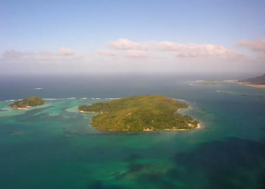
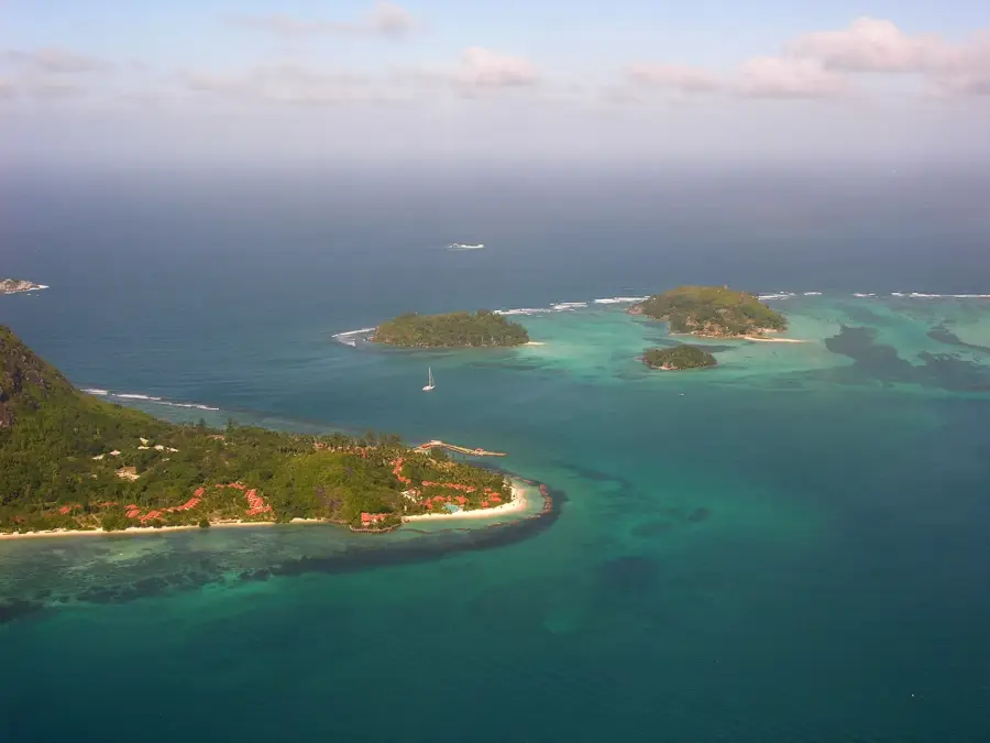
- Location: Seychelles
- Top sights: Morne Seychellois · Summit of Morne Seychellois · Morne Blanc viewing platform
- Nearby: Barbarons (4 km)
Best time to visit & climate
The most pleasant time to visit is Jun–Aug.
| Jan | Feb | Mar | Apr | May | Jun | Jul | Aug | Sep | Oct | Nov | Dec | |
|---|---|---|---|---|---|---|---|---|---|---|---|---|
| Avg °C | 27 | 28 | 28 | 29 | 28 | 27 | 26 | 26 | 27 | 27 | 27 | 27 |
| Rain mm | 207 | 109 | 106 | 115 | 94 | 80 | 55 | 62 | 108 | 117 | 124 | 164 |
📋 Practical info
Geography
Facts
- Congo Rouge overlooks the western section of the capital city, Freetown.
- The red soil color is caused by high concentrations of iron and aluminum oxides.
- The area was named after liberated slaves originally from the Congo basin.
- Slopes at Congo Rouge are prone to instability during extreme rainfall events.
- The famous King Tom Peninsula is clearly visible from this elevation.
- The site is a key area for balancing urban growth with environmental protection.
Explore nearby
Notable places around
Route planner — Car & Motorhome
Where do you start? We build the route here, with stops and country notes along the way.
© OpenStreetMap contributors · OpenRouteService
Sights in the town Congo Rouge (9)
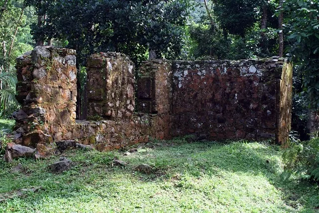
Mission Lodge
Historic viewpoint in Morne Seychellois National Park. Former school for freed slave children.
Trail junction
Trail junction in the Morne Seychellois hiking network. Starting point for different routes.
Teapot
Prominent rock or landmark along hiking trails. Serves as an orientation point.
Trailhead to Morne Seychellois
Starting point of the hiking trail to the summit of Morne Seychellois. Parking and information board.
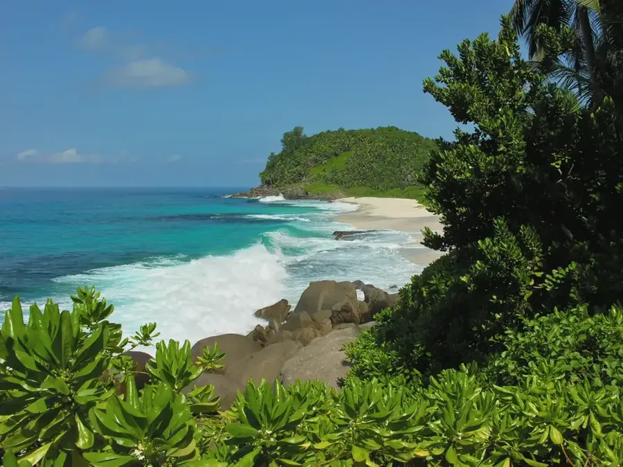
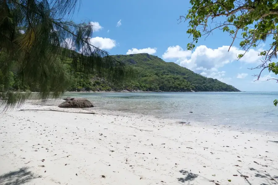
Port Glaud Beach
Sandy beach on the west coast of Mahé. Quiet, with shallow water and palm trees.
Sights nearby
Frequently asked questions
Is Congo Rouge suitable for mountain biking?
Are there any mosquito repellent recommendations?
Is the forest safe for children?
Am I allowed to pick mushrooms or berries there?
Are there viewpoints in the forest?
Congo Rouge: where is it located?
Congo Rouge: what is there to see?
Congo Rouge: when is the best time to visit?
Congo Rouge: why is it worth visiting?

Nearby cities

History & landmarks
More places