Plizio Visual Lab
Zlatar Mountain
Weather…
Water temperature…
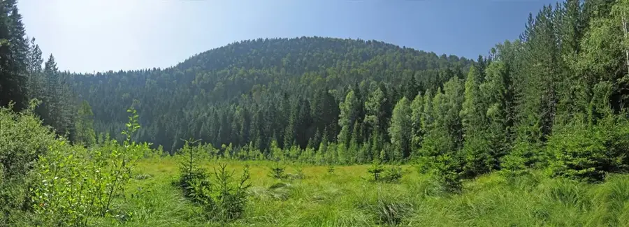
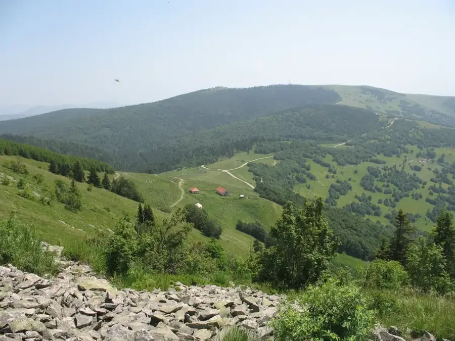
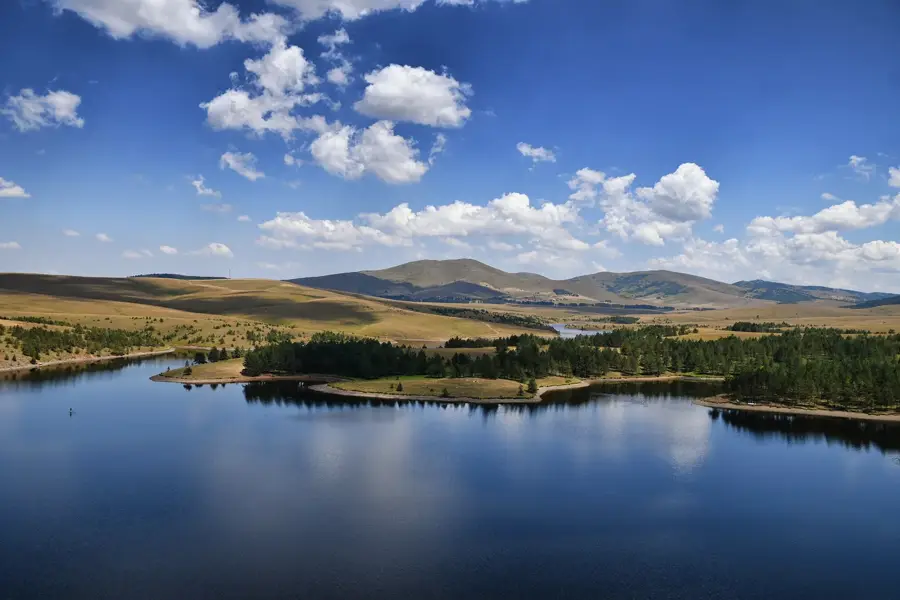
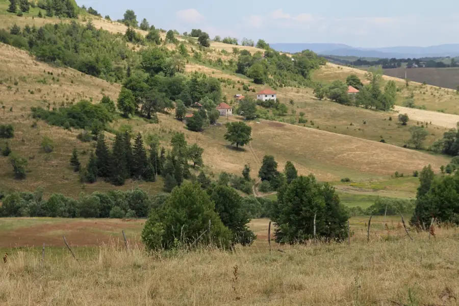
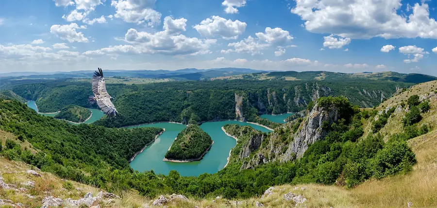
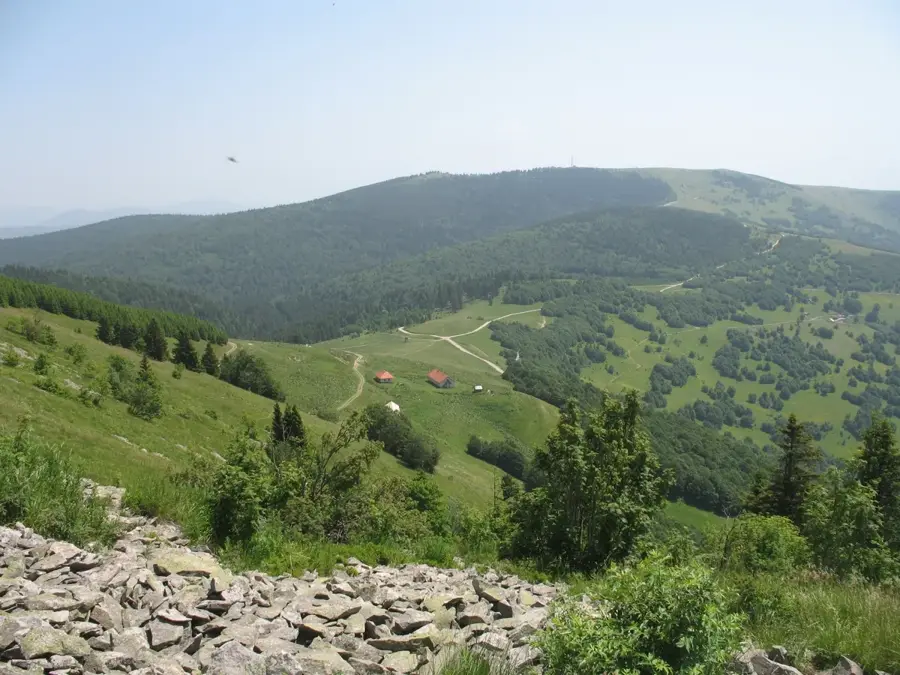
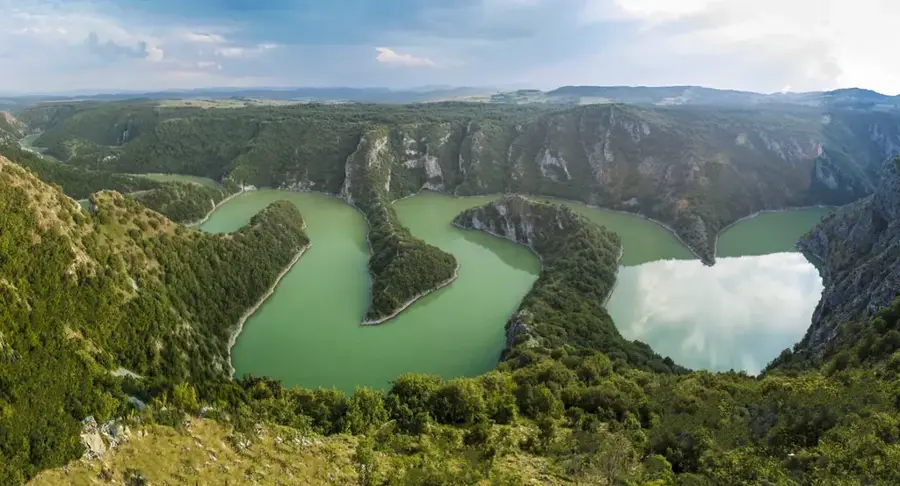
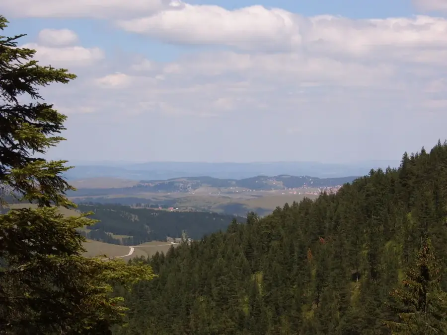
The Zlatar Mountain in southwestern Serbia is known for its dense coniferous forests and exceptionally healthy air. Its highest peak is Golo Brdo at 1627 meters. The name 'Zlatar' (Gold Mountain) refers either to historical gold mines or to the golden-yellow flowers of the mountain meadows in summer. The region is located between the rivers Lim, Mileševka, and Bistrica and is characterized by deep canyons and vast high plateaus. A special highlight is its proximity to the Uvac Canyon, where the famous river meanders and a colony of rare griffon vultures can be found. The climate on Zlatar is considered 'Mediterranean-mountainous' with a high number of sunny days per year, making the mountain a popular center for medical tourism and rehabilitation. The architecture of the local villages, with their wooden houses and stone foundations, reflects the centuries-old tradition of the region.
- Location: Serbia
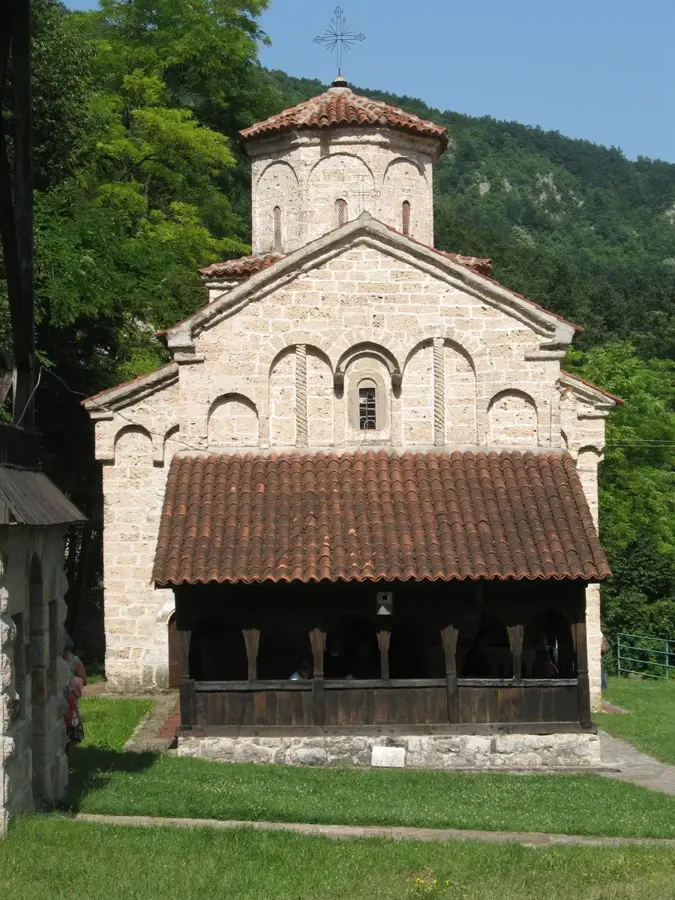
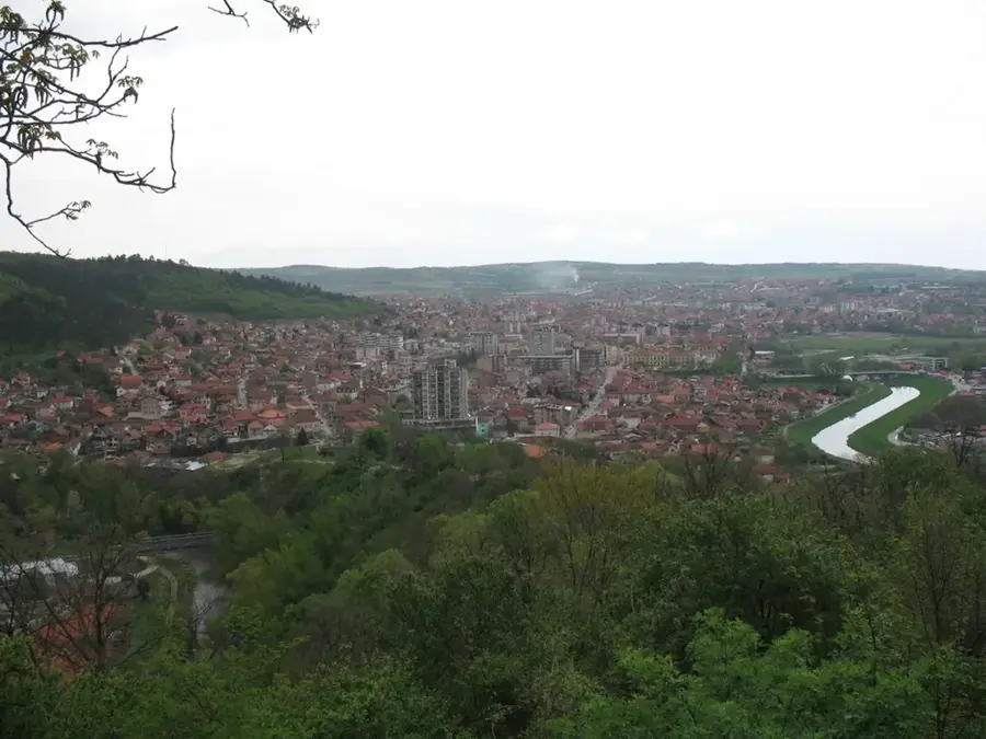
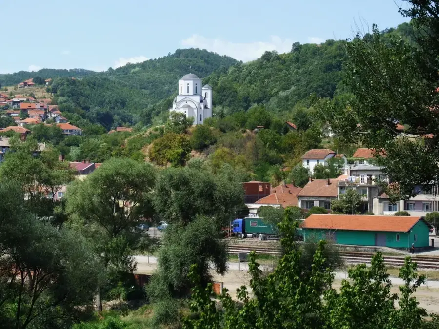
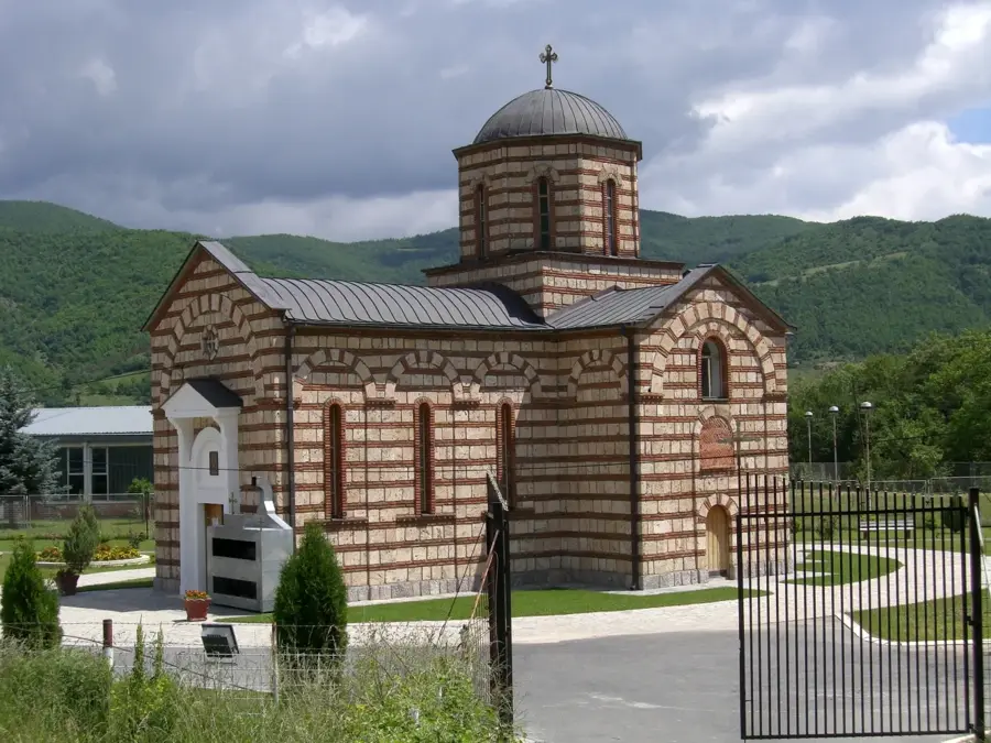
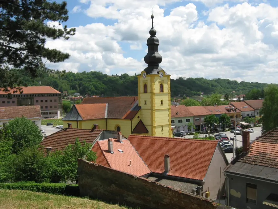
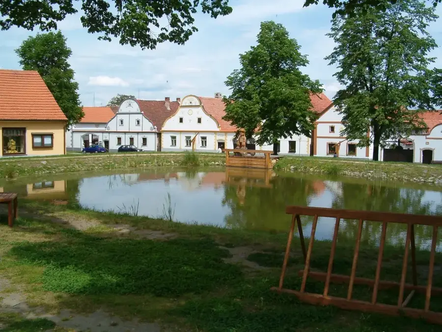
- Top sights: Miševići (Nova Varoš) · Donje Goračiće · Skradnik (Sjenica)
- Nearby: Zlatar (9 km)
Best time to visit & climate
The most pleasant time to visit is Jun–Aug.
| Jan | Feb | Mar | Apr | May | Jun | Jul | Aug | Sep | Oct | Nov | Dec | |
|---|---|---|---|---|---|---|---|---|---|---|---|---|
| Avg °C | -3 | -1 | 3 | 8 | 12 | 16 | 19 | 19 | 14 | 9 | 4 | -1 |
| Rain mm | 65 | 64 | 74 | 71 | 97 | 106 | 79 | 65 | 74 | 75 | 77 | 71 |
📋 Practical info
Geography
Facts
- Highest peak: Golo Brdo (1627 meters)
- Status: Officially recognized climatic health resort
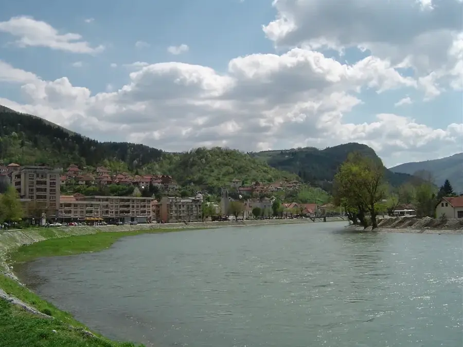
- Main body of water: Zlatar Lake (Uvac reservoir)
- Wildlife: One of the last habitats of the griffon vulture
- Specialty: The famous Zlatar cheese (protected origin)
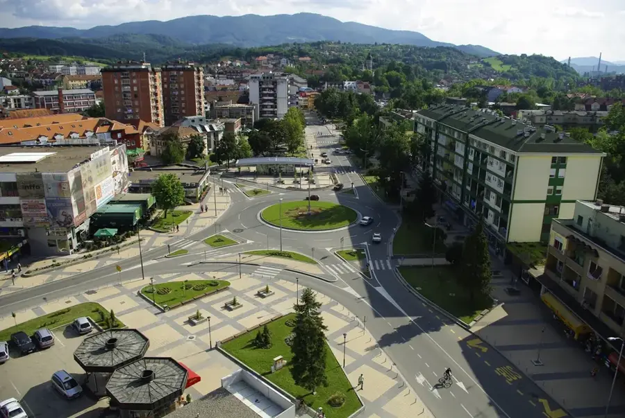
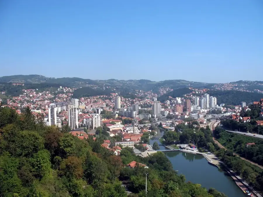
- Nearest town: Nova Varoš at the foot of the mountain
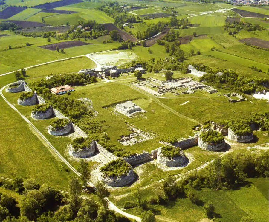
Explore nearby
Notable places around
Route planner — Car & Motorhome
Where do you start? We build the route here, with stops and country notes along the way.
© OpenStreetMap contributors · OpenRouteService
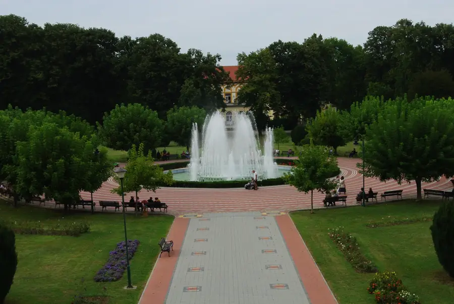
Sights in the town Zlatar Mountain (3)
Sights nearby
Frequently asked questions
Where are the Zlatar mountains located?
What is the most famous natural phenomenon nearby?
What is Zlatar cheese known for?
What lakes are near Zlatar?
What does the name 'Zlatar' mean?
Zlatar Mountain: where is it located?
Zlatar Mountain: what is there to see?
Zlatar Mountain: when is the best time to visit?
Zlatar Mountain: why is it worth visiting?

Nearby cities
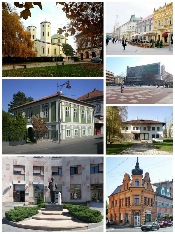


History & landmarks
Nature
More places