Plizio Visual Lab
Mont Gréboun

Weather…
Water temperature…
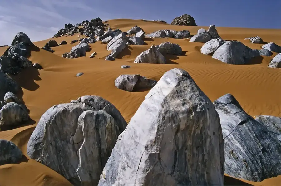
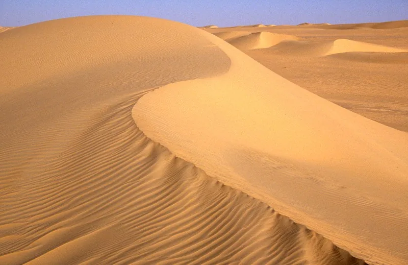
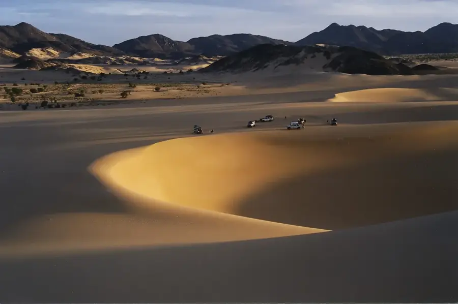
Mont Gréboun, with an elevation of approximately 1,944 meters, is one of the highest peaks in the Aïr Mountains of northern Niger and stands as a prominent landmark in the central Sahara. Geologically, the mountain is part of a massive Precambrian granite intrusion complex, further shaped by volcanic activity during the Tertiary period. Its steep flanks and rugged rock formations offer a spectacular sight amidst the barren desert landscape. Despite the extreme climatic conditions, Mont Gréboun hosts relict vegetation in its protected canyons, pointing to a wetter past in the Sahara, including rare wild olive trees and Mediterranean plant species. Historically, the mountain massif served as a retreat for Tuareg groups and is rich in archaeological sites, including Neolithic rock engravings. Climbing the summit is considered a significant challenge for mountaineers due to extreme heat and remoteness. Today, Mont Gréboun is a symbol of the rugged beauty of the Aïr and is part of the UNESCO World Heritage listed Aïr and Ténéré Natural Reserve.
- Location: Niger
- Top sights: Tchi-n-Gaouagane · Térabil · Idabdaba
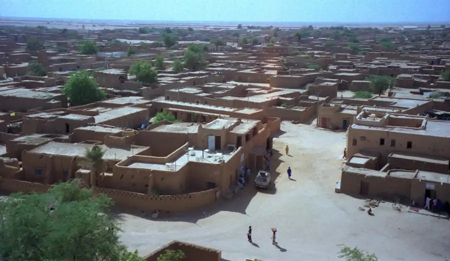
- Nearby: Iférouane (76 km)
Best time to visit & climate
The most pleasant time to visit is Mar, Oct, Nov.
| Jan | Feb | Mar | Apr | May | Jun | Jul | Aug | Sep | Oct | Nov | Dec | |
|---|---|---|---|---|---|---|---|---|---|---|---|---|
| Avg °C | 13 | 17 | 21 | 27 | 30 | 31 | 31 | 30 | 29 | 25 | 20 | 15 |
| Rain mm | 0 | 0 | 0 | 1 | 5 | 4 | 4 | 16 | 3 | 1 | 0 | 0 |
📋 Practical info
Geography
Facts
- The peak stands at approximately 1,944 meters above sea level.
- Located in the northern Aïr Massif within the Agadez Region.
- Member of the UNESCO World Heritage Aïr and Ténéré Reserve.
- Hosts rare Mediterranean relict flora such as wild olive trees.
- The rock formations date back to the Precambrian era.
- A vital navigation point for caravans on the edge of the Ténéré.
Explore nearby
Notable places around
Route planner — Car & Motorhome
Where do you start? We build the route here, with stops and country notes along the way.
© OpenStreetMap contributors · OpenRouteService
Sights in the town Mont Gréboun (3)
Sights nearby
Frequently asked questions
Is Mont Gréboun a tourist highlight?
Can you climb the summit?
What is the best way to travel?
Do you need a permit?
Is the area visitable year-round?
Mont Gréboun: where is it located?
Mont Gréboun: what is there to see?
Mont Gréboun: when is the best time to visit?
Mont Gréboun: why is it worth visiting?

Nearby cities
More places