Plizio Visual Lab
Scherpenzeel Ridge
Plizio editorial teamData Sources
Mountain
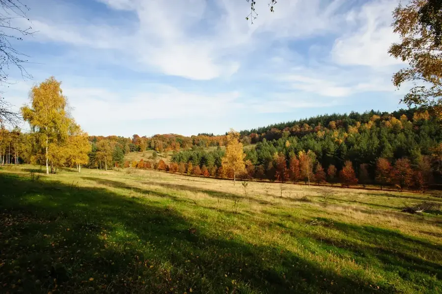
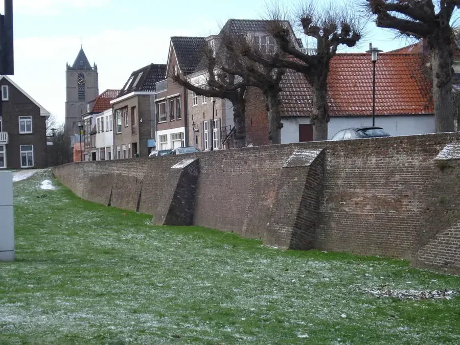
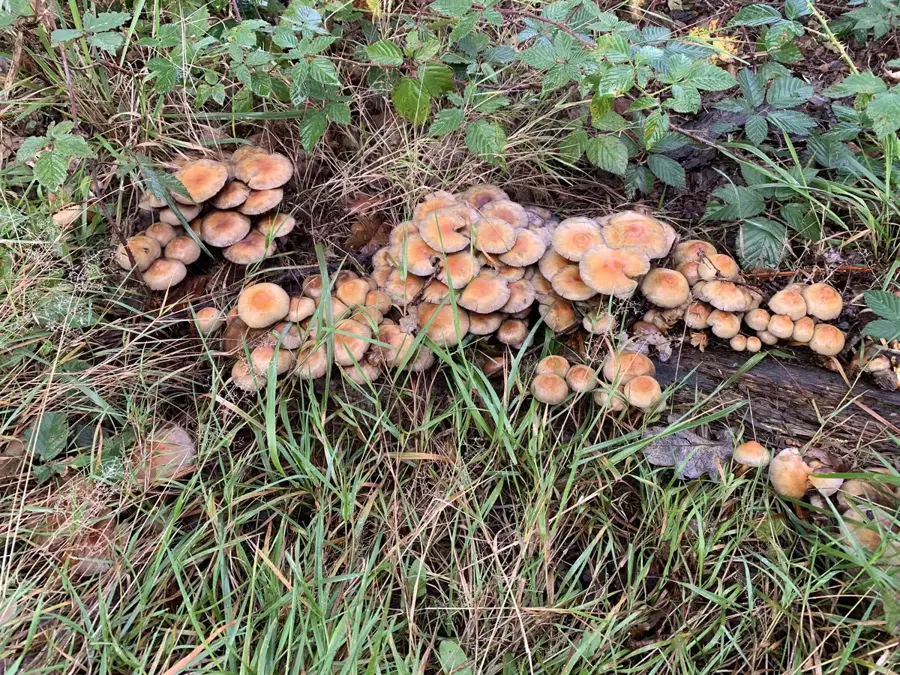
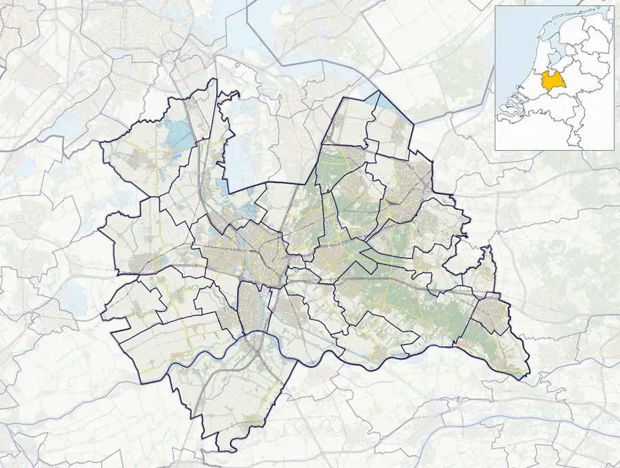
The Scherpenzeel Ridge is a geomorphological elevation in the province of Gelderland, marking the transition between the Utrechtse Heuvelrug and the Gelderse Vallei. This formation resulted from meltwater activity and sedimentation processes during the end of the Pleistocene glaciations. Rising gently above the surrounding lowlands, the ridge historically provided a dry and stable foundation for settlement in an otherwise marshy environment. It held significant strategic value as part of the Grebbe Line, an 18th-century defensive water line designed to protect the province of Holland. The soil is primarily composed of fine sand, supporting a landscape of hedgerows and small woodlands. Today, the ridge is largely used for intensive agriculture and livestock farming, though it retains some traditional meadow landscapes. The elevation also plays a key role in managing water runoff from the higher ridges into the lower-lying valley areas.
- Location: Utrecht, Netherlands
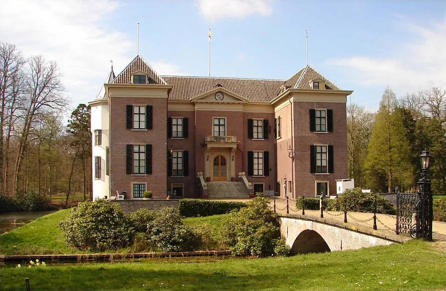
- Top sights: Huize Scherpenzeel · Liniedijk · Klein Wittenberg
- Nearby: Woudenberg (5 km)
Best time to visit & climate
The most pleasant time to visit is Jun–Aug.
| Jan | Feb | Mar | Apr | May | Jun | Jul | Aug | Sep | Oct | Nov | Dec | |
|---|---|---|---|---|---|---|---|---|---|---|---|---|
| Avg °C | 2 | 3 | 6 | 10 | 13 | 16 | 18 | 18 | 15 | 11 | 6 | 3 |
| Rain mm | 75 | 63 | 56 | 39 | 60 | 62 | 81 | 82 | 60 | 67 | 70 | 78 |
📋 Practical info
Getting there
Accessed via local roads leading to the edge of the Heuvelrug, with trailheads frequently situated near rural estates. It forms a lovely transitional landscape easy to explore.
Best season
Spring displays lively green growth along the ridge, while autumn highlights the changing colors of the transitional forest. It remains a pleasant walking spot all year.
Terrain & paths
The ridge features a mix of flat stretches and gentle, elongated slopes. Trails are mostly packed earth and sand, suitable for casual hiking and recreational cycling.
What to bring
Basic outdoor attire and comfortable trainers are adequate for these paths. A small backpack with water and snacks is useful for a relaxing morning or afternoon out.
Parking
Small parking facilities or roadside pull-offs are generally available near designated hiking starting points. Keep an eye out for local forestry signs guiding to these spots.
Safety
Traffic on crossing rural roads can occasionally be surprisingly fast, so exercise caution. Otherwise, the trails themselves present no significant hazards for visitors.
Time needed
Walking the main sections of the ridge usually requires 1.5 to 3 hours. It is a wonderfully peaceful spot to incorporate into a broader exploration of the area.
Geography
Facts
- Boundary region between Utrechtse Heuvelrug and Gelderse Vallei
- Historical component of the Grebbe Line defense system
- Formed by meltwater sedimentation at the end of ice ages
- Provided dry ground for construction in marshy terrain
- Soil composition is characterized by fine-grained sand
- Essential for local water management and drainage
Explore nearby
Notable places around
Route planner — Car & Motorhome
Where do you start? We build the route here, with stops and country notes along the way.
Vehicle
Only stops with (optional):
© OpenStreetMap contributors · OpenRouteService
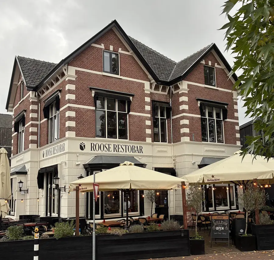
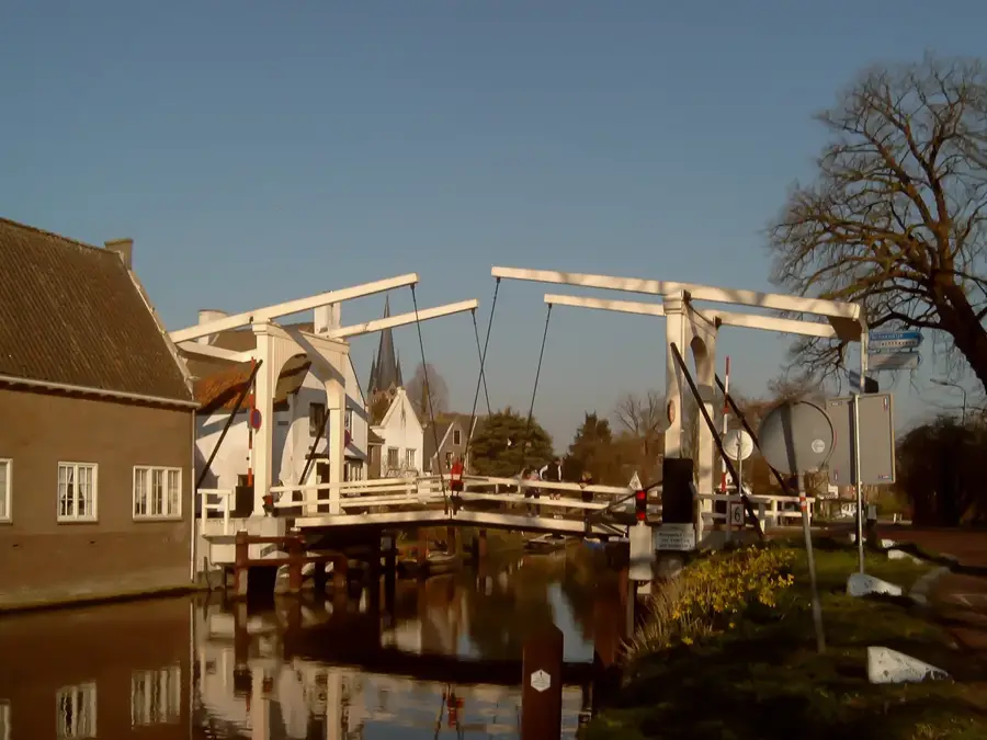
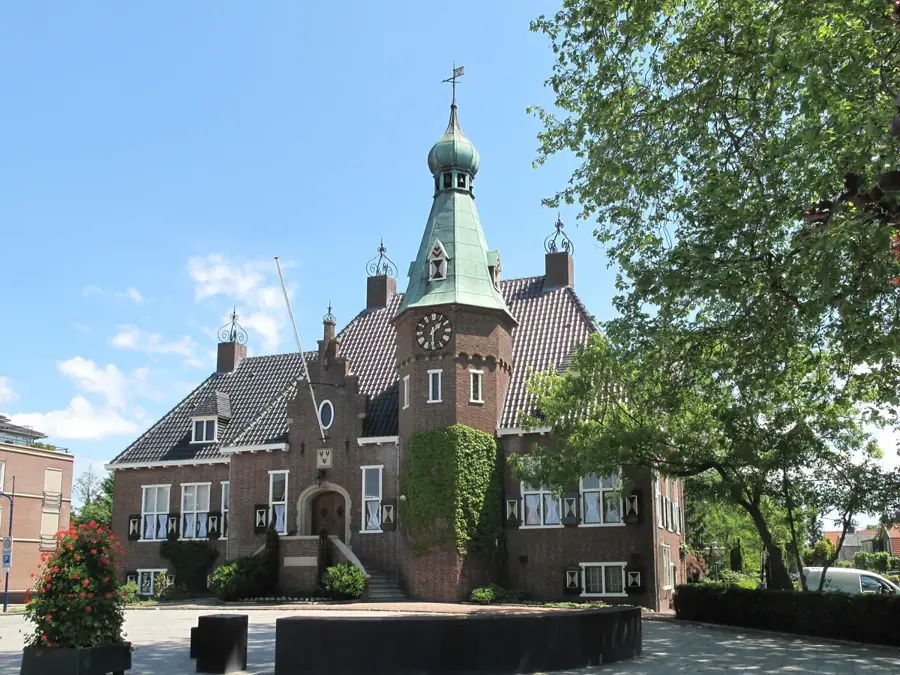
Sights in the town Scherpenzeel Ridge (7)
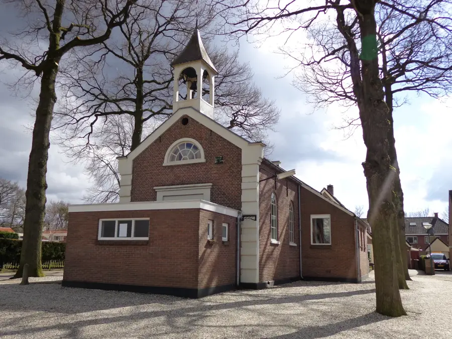
Klein Wittenberg
Nature reserve with varied landscape.
Voorwerk op de Roffelaarskade
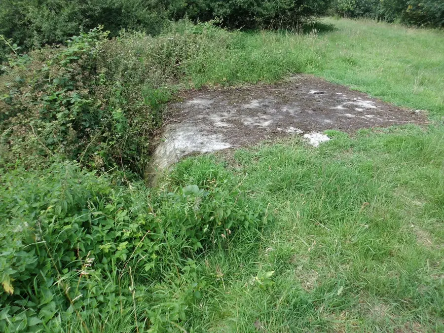
Fortification at Roffelaarskade, part of the Grebbelinie.
Voorwerk aan de Engelaar
Fortification at Engelaar, belonging to the Grebbelinie.
Sights nearby
Frequently asked questions
What is the Grebbelinie?
A historical defense line that runs through this region.
Can you hike on the ridge?
Yes, there are beautiful trails along the forested elevations.
Are there watercourses?
In the flatter surroundings, there are canals and small streams.
How far is it to Amersfoort?
Amersfoort is about 15-20 minutes away by car.
Is the area agricultural?
Yes, the ridge is surrounded by farms and fields.
Scherpenzeel Ridge: where is it located?
Scherpenzeel Ridge is located in Utrecht, Netherlands.
Scherpenzeel Ridge: what is there to see?
Highlights include Huize Scherpenzeel, Liniedijk, Klein Wittenberg.
Scherpenzeel Ridge: when is the best time to visit?
The most pleasant time to visit is Jun, Aug.
Scherpenzeel Ridge: why is it worth visiting?
The Scherpenzeel Ridge is a geomorphological elevation in the province of Gelderland, marking the transition between the Utrechtse Heuvelrug and the Gelderse Vallei.

Explore with Plizio
Discover more places in Europe
More places in Netherlands →
Nearby cities
Utrecht
A historic city in the heart of the Netherlands, famous for its Dom Tower and unique wharf-lined canals.
Almere
Almere is the largest city in the province of Flevoland, built entirely on reclaimed land.
Amersfoort
Amersfoort is a historic city in the province of Utrecht with a well-preserved medieval center.
Hilversum
Hilversum is the center of the Dutch broadcasting and television industry.
Nieuwegein
Nieuwegein is a modern city south of Utrecht, established in 1971 as a planned town.
Zeist
Zeist is a city in the province of Utrecht, nestled in the forests of the Utrechtse Heuvelrug.
Soest
Soest is located in the province of Utrecht.
Tiel
Tiel is a town in the Betuwe region.
IJsselstein
IJsselstein is a town in the province of Utrecht.
De Meern
A charming town near Utrecht, combining Roman history with modern comforts in the Green Heart of the Netherlands.
Leerdam
Leerdam is located on the Linge in South Holland.
Driebergen-Rijsenburg
Driebergen-Rijsenburg is located in the province of Utrecht.
Breukelen
Breukelen is a picturesque town on the river Vecht, famous for its magnificent country estates and for giving its name to Brooklyn, New Y…
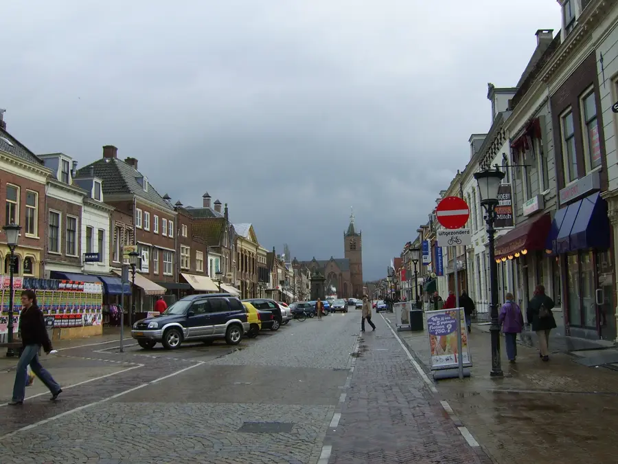
Woudenberg
A charming village in the heart of the Netherlands, known for its beautiful forests and the Henschoter Meer recreational lake.
Vleuten
Vleuten, a charming town near Utrecht, combines historic village character with modern development and proximity to the magnificent De Ha…
History & landmarks
Vianen
A historic fortified town on the Lek, once known as a 'Free City' and seat of the Lords of Brederode.
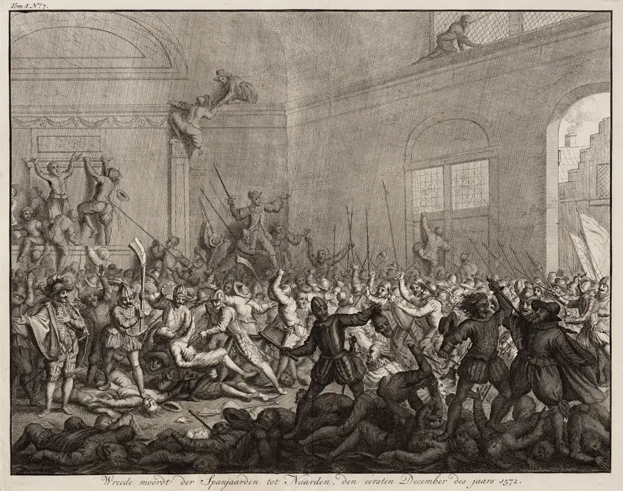
Naarden
One of Europe's best-preserved fortified towns, famous for its distinctive star-shaped layout and double moats.
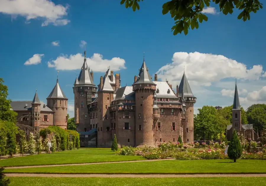
Kasteel de Haar Utrecht
Kasteel de Haar is the largest castle in the Netherlands.
Nature
More places
Drie Berg Top
The Drie Berg Top is a smaller moraine hill in the central Utrechtse Heuvelrug.
Drieberg Summit
The Drieberg Summit forms the highest point of this small hill in the Utrechtse Heuvelrug.
Drieberg
The Drieberg is a small hill on the Utrechtse Heuvelrug.
Scherpenberg
The Scherpenberg is a small hill within the Utrechtse Heuvelrug.
Amerongse Berg
The Amerongse Berg is the highest point of the Utrechtse Heuvelrug.
Doornse Berg
The Doornse Berg is an elevation on the Utrechtse Heuvelrug.
Doorn Hill
Doorn Hill is situated in the Utrechtse Heuvelrug.
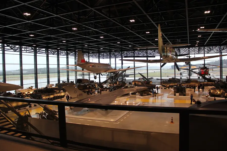
National Military Museum Soesterberg
The National Military Museum in Soesterberg displays the history of the Dutch armed forces.