Plizio Visual Lab
Lunteren Hill
Plizio editorial teamData Sources
Mountain

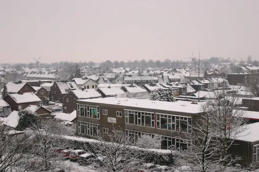
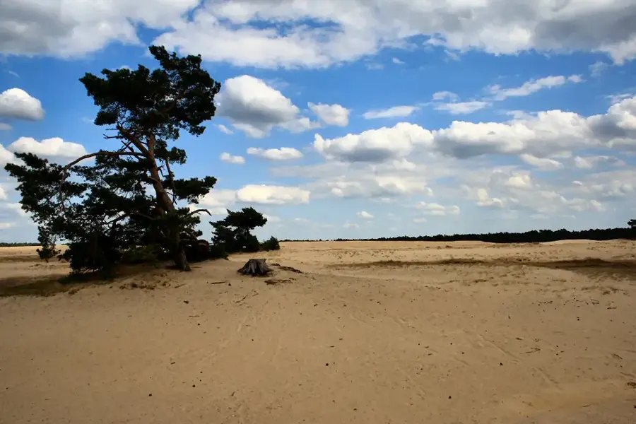
The Lunterse Berg is a prominent hill in the western part of the Veluwe and a classic example of a glacial push moraine. Formed about 150,000 years ago, the elevation now gives a mix of dense forests and historical sites. A special feature of the hill is the geographic center of the Netherlands, marked on its summit by the 'Center Stone'. Additionally, the 'Buurtbos' is located here, a forest created at the end of the 19th century on the initiative of notary Van den Ham to boost the local economy. On the hill stands the distinctive De Koepel lookout tower, a national monument from 1948, from which one can see as far as Utrecht. The topography of the Lunterse Berg is characterized by gentle slopes and sandy paths, convenient for hiking and cycling.
- Location: Gelderland, Netherlands
- Top sights: Klein Dennenhorst · Oude Kerk · Museum Lunteren
- Nearby: Ede (6 km)
Best time to visit & climate
The most pleasant time to visit is Jun–Aug.
| Jan | Feb | Mar | Apr | May | Jun | Jul | Aug | Sep | Oct | Nov | Dec | |
|---|---|---|---|---|---|---|---|---|---|---|---|---|
| Avg °C | 2 | 3 | 6 | 10 | 13 | 16 | 18 | 18 | 15 | 11 | 6 | 3 |
| Rain mm | 75 | 63 | 56 | 39 | 60 | 62 | 81 | 82 | 60 | 67 | 70 | 78 |
📋 Practical info
Getting there
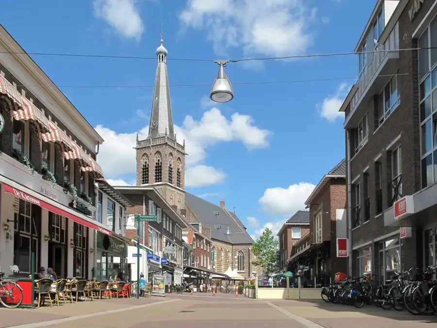
The forested area is best accessed directly from the appealing town of Lunteren. There are several well-marked pathways leading directly into the heart of the woods.
Best season
A visit is highly recommended year-round, but it is especially beautiful in spring and autumn. During summer, the dense trees provide a very pleasant and cooling shade.
Terrain & paths
The terrain is slightly hilly and consists mainly of sandy soils typical for the entire region. The paths are mostly unpaved but generally remain very easy to walk on.
What to bring
Light and comfortable hiking shoes are recommended due to the soft sandy soil found on the trails. Always bring plenty of fresh water and perhaps a small snack for the journey.
Parking
Free parking options are usually found right at the edge of the forest near the town of Lunteren. From there, your planned hikes can be started very conveniently and safely.
Safety
Please stay strictly on the marked trails to protect the delicate natural environment and local wildlife. Be careful of potential large tree roots on the unpaved forest paths.
Time needed
A typical leisurely walk through this wooded and peaceful area usually takes about one to two full hours. The exact duration can vary greatly depending on the chosen route.
Geography
Facts
- The height of the Lunterse Berg is approximately 50 meters above sea level.
- The 'Center Stone' has marked the geographic center since the 1980s.
- The De Koepel lookout tower is 22 meters high.
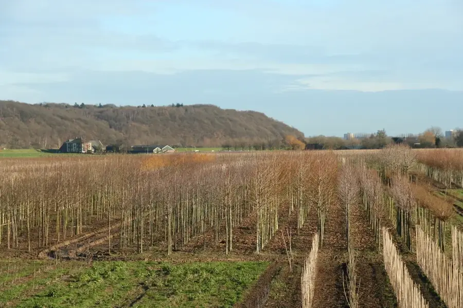
- The Buurtbos forest area covers about 160 hectares.
- The formation belongs to the western spur of the Veluwe moraine.
- Notary Van den Ham had over 100 kilometers of forest paths created in the region.
Explore nearby
Notable places around
Route planner — Car & Motorhome
Where do you start? We build the route here, with stops and country notes along the way.
Vehicle
Only stops with (optional):
© OpenStreetMap contributors · OpenRouteService
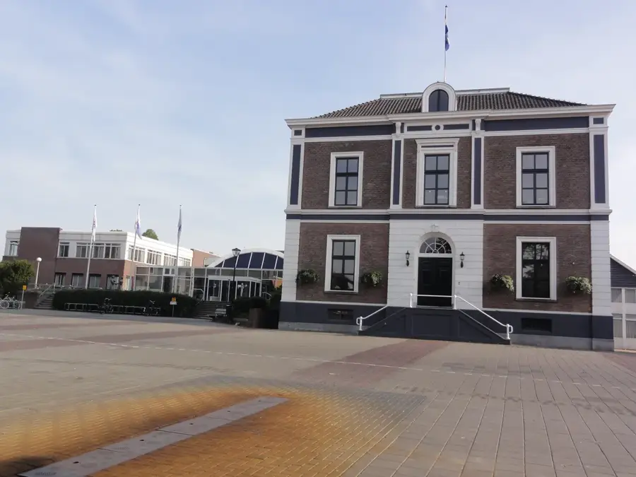
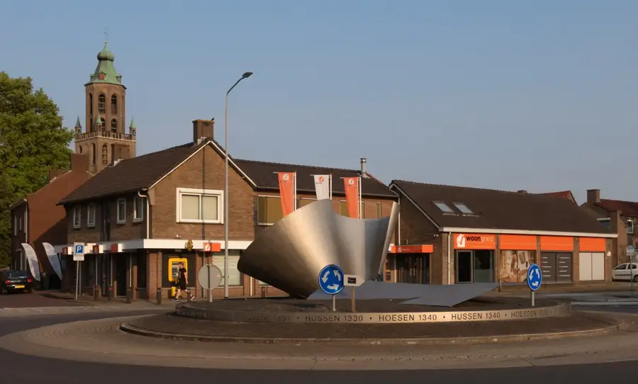
Sights in the town Lunteren Hill (10)
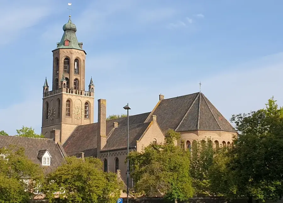
De Koepel🗼 tower
Building in Ede, distinctive tower.
De Sikkel
Nature reserve with varied vegetation.
Pinetum de Dennenhorst
Arboretum in the Netherlands featuring conifers.
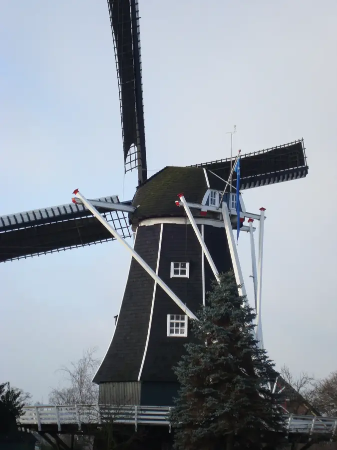
Molen De Hoop
Windmill in Lunteren, traditional milling equipment.
Muur van Mussert
Wall ruin, historical relic.
Doesburger Molen
Korenmolen, grain mill in the region.
Sights nearby
Frequently asked questions
What is the geographic center of the Netherlands?
It is located on the Lindeboomsberg near Lunteren.
How is the center marked?
By three large stones on top of the hill.
What is the Lunterse Buurtbosch?
A beautiful forest with many hiking trails right next to Lunteren.
Is there a tower on the hill?
Yes, the Hessen Tower (Hessen-toren) provides a good view.
How do you get from the station to the hill?
It is a short walk from Lunteren station.
Lunteren Hill: where is it located?
Lunteren Hill is located in Gelderland, Netherlands.
Lunteren Hill: what is there to see?
Highlights include Klein Dennenhorst, Oude Kerk, Museum Lunteren.
Lunteren Hill: when is the best time to visit?
The most pleasant time to visit is Jun, Aug.
Lunteren Hill: why is it worth visiting?
The Lunterse Berg is a prominent hill in the western part of the Veluwe and a classic example of a glacial push moraine.

Explore with Plizio
Discover more places in Europe
More places in Netherlands →
Nearby cities
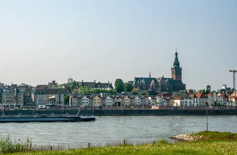
Nijmegen
Nijmegen is considered the oldest city in the Netherlands and looks back on a fascinating Roman history of over 2000 years.
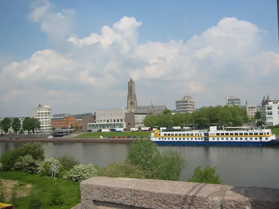
Arnhem
Arnhem is the capital of the province of Gelderland and an important historic city on the Rhine.
Apeldoorn
Apeldoorn is a major city in the province of Gelderland, known for its parks and proximity to the Veluwe.
Ede
Ede is a city in the province of Gelderland, nestled among the heathlands and forests of the Veluwe.
Veenendaal
Veenendaal is situated at the foot of the Utrechtse Heuvelrug.
Doetinchem
Doetinchem is the economic and cultural hub of the Achterhoek region in Gelderland.
Ambt Doetinchem
Ambt Doetinchem refers to the rural surroundings of Doetinchem in the Achterhoek region, known for its scenic landscape of forests, farms…
Zutphen
Zutphen is a Hanseatic city on the IJssel river with an exceptionally well-preserved medieval center and many residential towers.
Wageningen
Wageningen is located in Gelderland.
Barneveld
Welcome to Barneveld, the poultry capital of the Netherlands, known for its charming traditions, historic summer market, and the famous B…
Epe
Epe is located in Gelderland, in the middle of the Veluwe region.
Elburg
Elburg is a beautifully preserved medieval fortress town and former fishing port on the edge of the Veluwemeer lake.
Elst
Elst, located between Arnhem and Nijmegen, is famous for its Roman history.
Huissen
A historic fortified town in the Dutch province of Gelderland, known for its gardens and vibrant local community.
Vaassen
Vaassen is a town in the province of Gelderland.
History & landmarks


Nature
More places
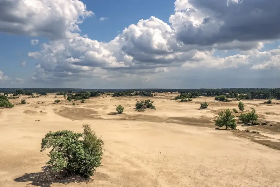
Lunteren Sand Hill
The Lunteren Sand Hills are a typical glacial landform on the Veluwe.
Binnenveld
Binnenveld is a low-lying fen and meadow area between the Veluwe and the Utrecht hill ridge.
Food Valley Wageningen
Wageningen is the center of the 'Food Valley'.
Kootwijkerzand
Kootwijkerzand is a large drifting sand area in the middle of the Veluwe.
De Hoge Veluwe National Park
A vast nature area in Gelderland.
Grebbeberg
The Grebbeberg is a forested end moraine near Rhenen.
Renkum Hill
The Renkum Hill is a forested elevation near the Rhine.

Oosterbeek Hill
The Oosterbeek Hill is located on the edge of the Veluwe.