Plizio Visual Lab
Doornse Berg
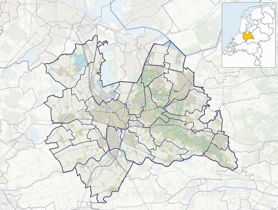
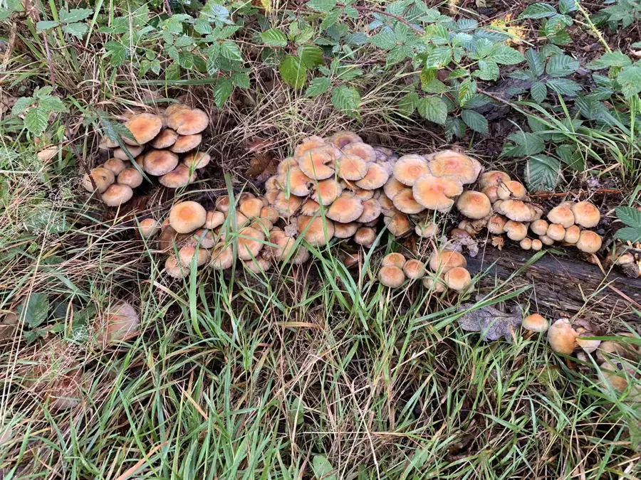
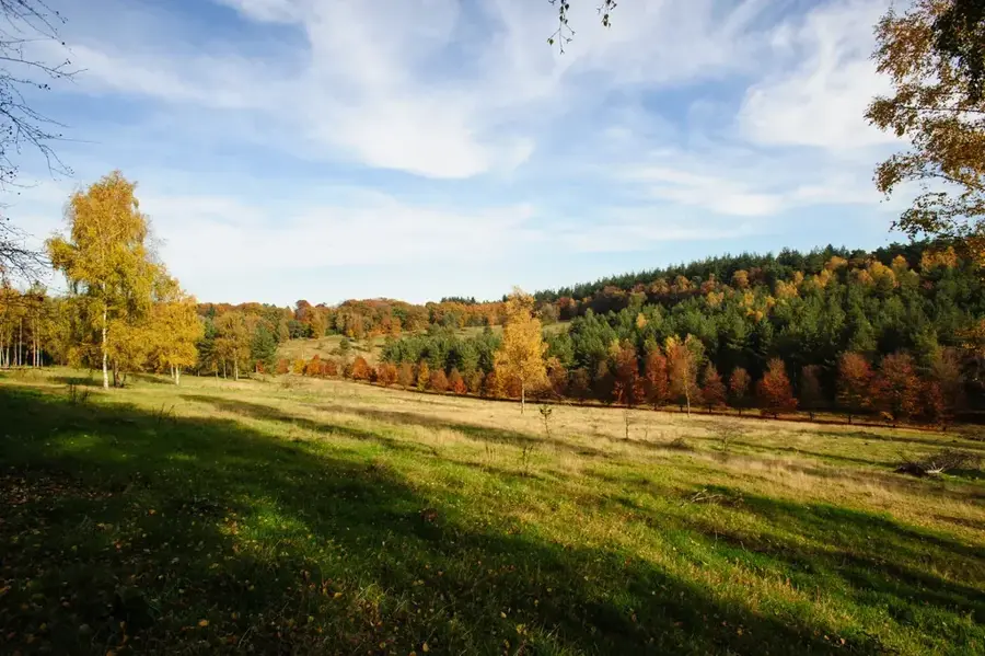
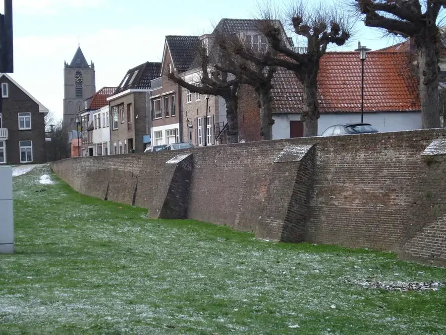
The Doornse Berg is a prominent elevation on the Utrechtse Heuvelrug, a glacial moraine ridge in the province of Utrecht. Its geological origin dates back to the Saale glaciation, when advancing ice masses compressed sand and gravel deposits to a height of over 50 meters. The area is now part of the Kaapse Bossen and is known for its dense deciduous and coniferous forests as well as historical lookout towers like De Kaap. From the top of the hill, there is a wide view over the Rhine Valley and as far as the towers of Utrecht and Amersfoort. Historically, the Doornse Berg was part of large estates, which is reflected in the design of the forest paths and avenues. The region is an important recreational area and has rare habitats for birds of prey and various reptile species due to its topography.
- Location: Utrecht, Netherlands
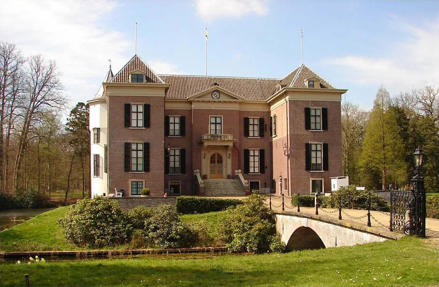
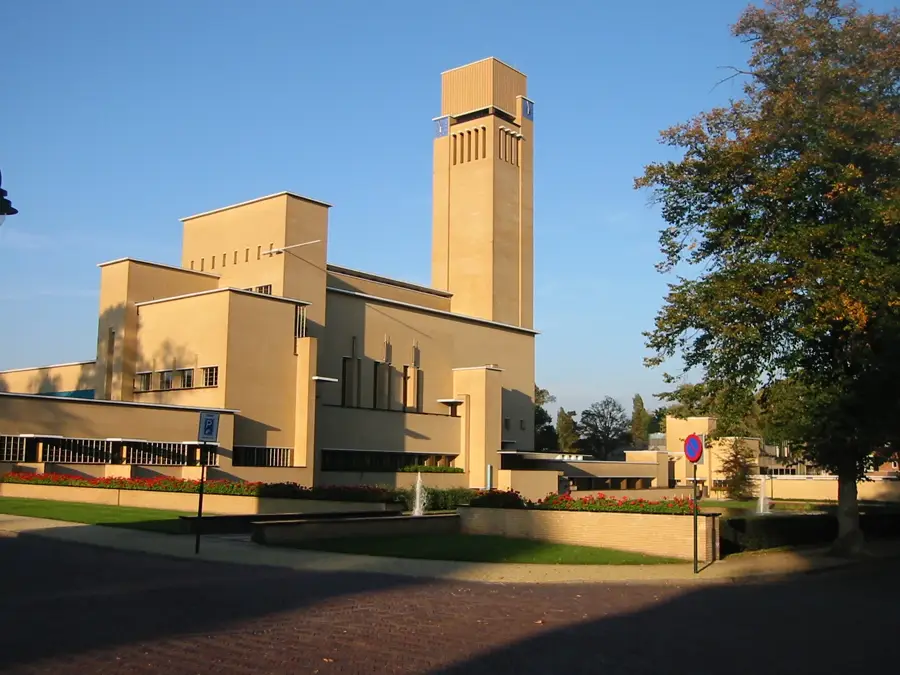
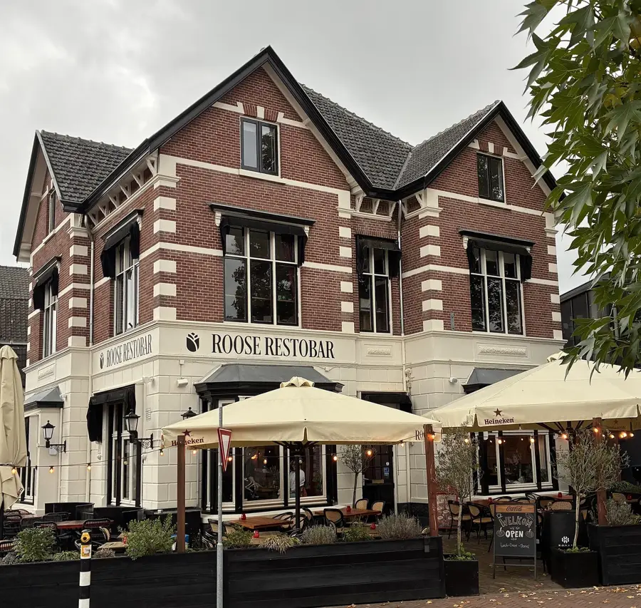
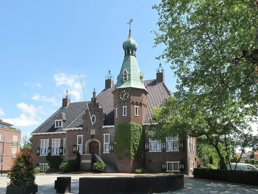
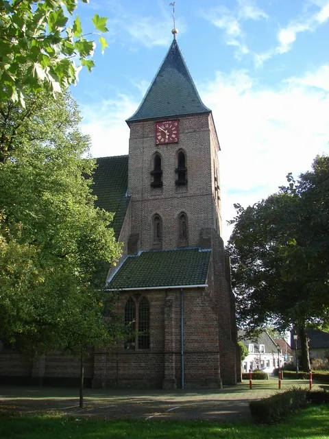
- Top sights: Buitenplaats Schoonoord · Maartenskerk · Paviljoen Nederland en de Eerste Wereldoorlog
- Nearby: Driebergen-Rijsenburg (5 km)
Best time to visit & climate
The most pleasant time to visit is Jun–Aug.
| Jan | Feb | Mar | Apr | May | Jun | Jul | Aug | Sep | Oct | Nov | Dec | |
|---|---|---|---|---|---|---|---|---|---|---|---|---|
| Avg °C | 2 | 3 | 6 | 10 | 13 | 16 | 18 | 18 | 15 | 11 | 6 | 3 |
| Rain mm | 75 | 63 | 56 | 39 | 60 | 62 | 81 | 82 | 60 | 67 | 70 | 78 |
📋 Practical info
Geography
Facts
- The highest point of the Doornse Berg is at approximately 53 meters above sea level.
- The De Kaap lookout tower was replaced with a modern wooden structure in 2006.
- The elevation was formed about 150,000 years ago by glacial thrusting.
- The Kaapse Bossen forest area covers approximately 425 hectares.
- The region belongs to the Utrechtse Heuvelrug National Park.
- Erratic boulders transported from Scandinavia are often found in the soil.
Explore nearby
Notable places around
Route planner — Car & Motorhome
Where do you start? We build the route here, with stops and country notes along the way.
© OpenStreetMap contributors · OpenRouteService
Sights in the town Doornse Berg (10)
Mausoleum of Kaiser Wilhelm II of Germany
Burial site of the former German emperor in Doorn.
Huis Doorn
Manor house, exile residence of Emperor Wilhelm II.
Auguste Victoria Garten
Garden laid out for Empress Auguste Victoria in Doorn.
Thorhem
Wooded area on the Doornse Berg.
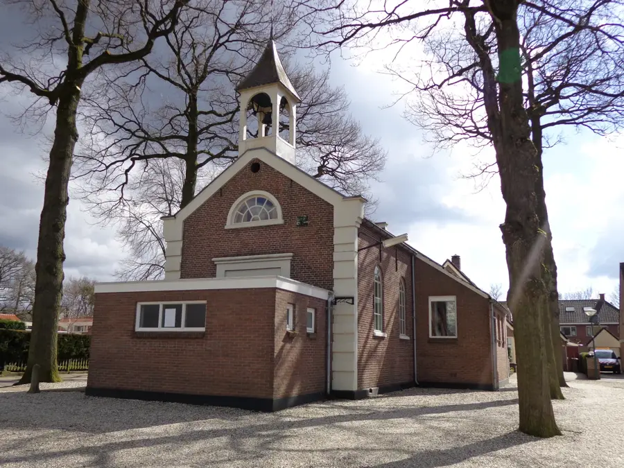
Ludenkapel
Chapel in Doorn, built in the 20th century.
De Groote Wijngaard
Vineyard with grapevines on the Doornse Berg.
Sights nearby
Frequently asked questions
Where is the Doornse Berg located?
Is there a lookout tower?
How high is the elevation?
Can you go mountain biking here?
What is worth seeing nearby?
Doornse Berg: where is it located?
Doornse Berg: what is there to see?
Doornse Berg: when is the best time to visit?
Doornse Berg: why is it worth visiting?

Nearby cities
History & landmarks
Nature
More places