Plizio Visual Lab
Scherpenberg
Plizio editorial teamData Sources
Mountain
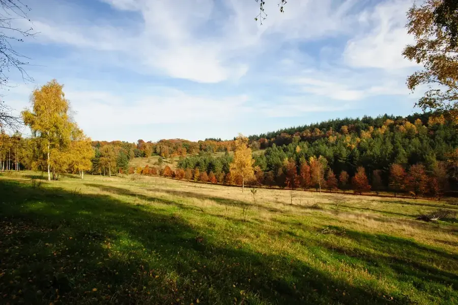
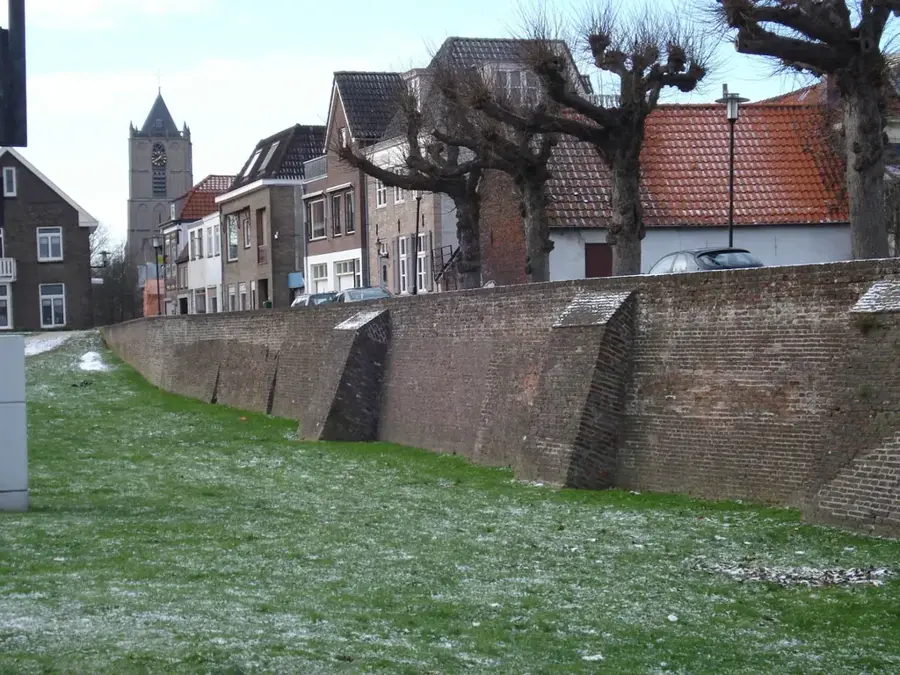
The Scherpenberg is a distinct elevation near Lieren and Beekbergen within the Veluwe region of Gelderland. Reaching a height of approximately 53 meters, it is part of the extensive push moraine system that characterizes the central Netherlands. Its name refers to the steep shape of the hill, which stands out clearly from the surrounding forest landscape. Historically, the area was known for forestry and the extraction of iron ore from small pits. Today, the Scherpenberg is a tranquil hiking destination featuring dense mixed forests and hidden patches of heathland. It serves as an important wildlife corridor for species such as red deer and wild boar residing in the protected areas of the Veluwe. The geological structure provides insight into the forces of Pleistocene glacial movements that shaped the landscape thousands of years ago, creating the varied relief seen today.
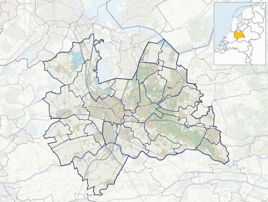
- Location: Utrecht, Netherlands
- Top sights: Boswachterij Amerongse Berg · Amerongse Bos · Venster op de Betuwe
- Nearby: Veenendaal (5 km)
Best time to visit & climate
The most pleasant time to visit is Jun–Aug.
| Jan | Feb | Mar | Apr | May | Jun | Jul | Aug | Sep | Oct | Nov | Dec | |
|---|---|---|---|---|---|---|---|---|---|---|---|---|
| Avg °C | 2 | 3 | 6 | 10 | 13 | 16 | 18 | 18 | 15 | 11 | 6 | 3 |
| Rain mm | 75 | 63 | 56 | 39 | 60 | 62 | 81 | 82 | 60 | 67 | 70 | 78 |
📋 Practical info
Getting there
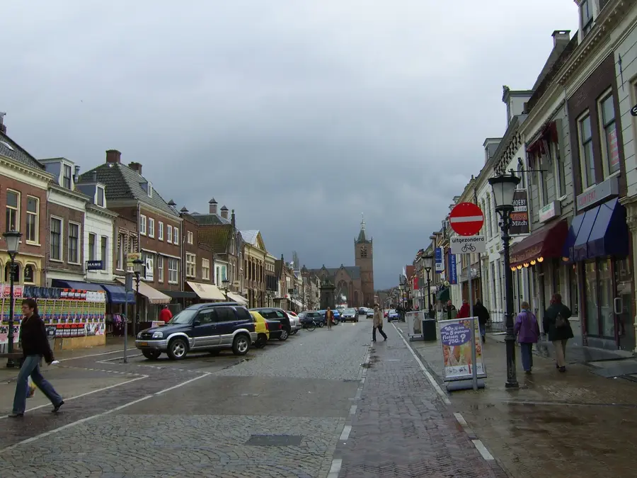
Often accessed from trails originating near Leersum or surrounding villages on the Utrechtse Heuvelrug. The path network allows for easy approaches on foot or by mountain bike.
Best season
The dense tree canopy features fantastic cooling shade during hot summer days. Autumn is extremely popular for hikers wishing to experience the golden and red foliage.
Terrain & paths
Walking routes consist of woodland trails that gently rise over the modest hill. The terrain is largely unpaved and can be quite root-covered in certain sections.
What to bring
Standard comfortable walking shoes are sufficient for the well-trodden paths. In the wetter months, waterproof footwear is recommended as parts of the forest can get muddy.
Parking
Small parking areas are usually found at the forestry entry points or trailheads along the main roads crossing the region. Local town parking is also a viable option.
Safety
The area is very safe for families and casual walkers. Simply be mindful of tree roots on the paths and share the wider tracks politely with mountain bikers.
Time needed
A relaxed walk over and around the hill takes about 1 to 2 hours. It is an excellent destination for a tranquil, short excursion immersed completely in nature.
Geography
Facts
- Elevation of roughly 53 meters in the Veluwe
- Part of the push moraine system in Gelderland
- History of iron ore extraction in the area
- Vital corridor for red deer and wild boar
- Covered by dense oak and beech forests
- Geological formation dating to the Saale ice age
Explore nearby
Notable places around
Route planner — Car & Motorhome
Where do you start? We build the route here, with stops and country notes along the way.
Vehicle
Only stops with (optional):
© OpenStreetMap contributors · OpenRouteService
Sights in the town Scherpenberg (10)
Bosreservaat Galgenberg
Forest reserve with old beech trees.
Tabaksteeltmuseum🏛 museum
Museum about tobacco cultivation in the Netherlands.
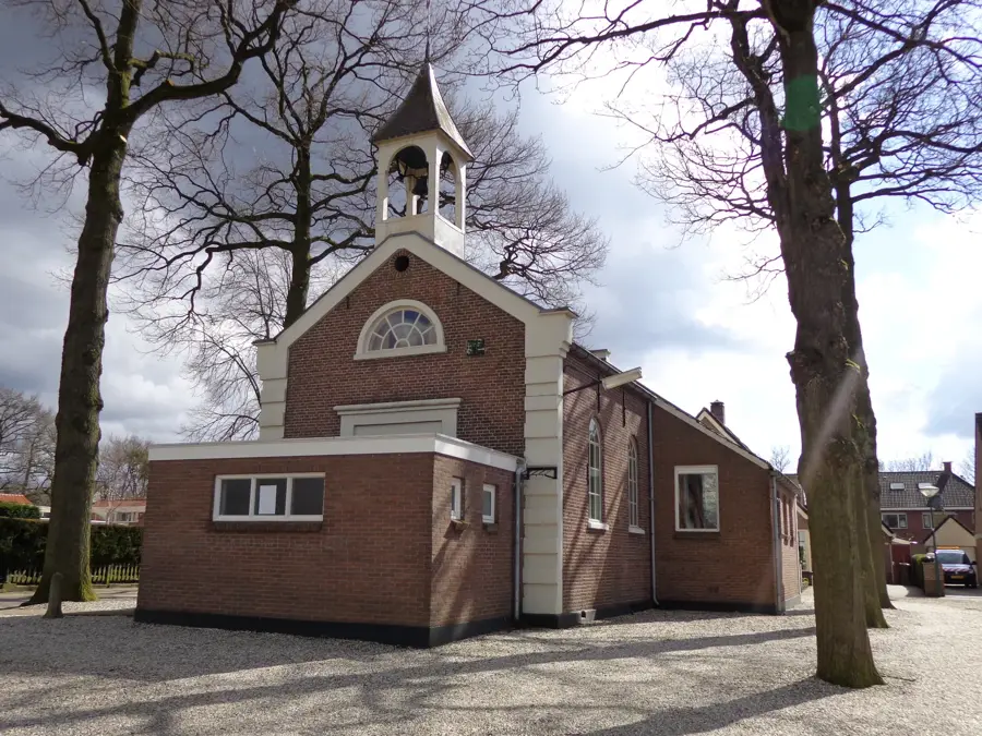
Andrieskerk
Church building in Utrechtse Heuvelrug, Netherlands.
Maallust
Windmill in the region.
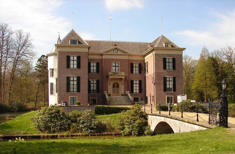
Kasteel Amerongen
Castle in Amerongen, surrounded by a park.
't Wissel
Korenmolen, a grain mill.
Sights nearby
Frequently asked questions
Where is the Scherpenberg?
It is located near Apeldoorn on the Veluwe.
Is it a steep hill?
For Dutch standards it is quite prominent, but easy to hike.
Can you go hiking there?
Yes, there are beautiful paths through forest and heathland areas.
Are there wild animals?
In the surrounding forests of the Veluwe, you can often see deer and wild boar.
When is the best time to visit?
All year round, but it's especially beautiful in autumn when the leaves change color.
Scherpenberg: where is it located?
Scherpenberg is located in Utrecht, Netherlands.
Scherpenberg: what is there to see?
Highlights include Boswachterij Amerongse Berg, Amerongse Bos, Venster op de Betuwe.
Scherpenberg: when is the best time to visit?
The most pleasant time to visit is Jun, Aug.
Scherpenberg: why is it worth visiting?
The Scherpenberg is a distinct elevation near Lieren and Beekbergen within the Veluwe region of Gelderland.

Explore with Plizio
Discover more places in Europe
More places in Netherlands →
Nearby cities
Utrecht
A historic city in the heart of the Netherlands, famous for its Dom Tower and unique wharf-lined canals.
Almere
Almere is the largest city in the province of Flevoland, built entirely on reclaimed land.
Amersfoort
Amersfoort is a historic city in the province of Utrecht with a well-preserved medieval center.
Hilversum
Hilversum is the center of the Dutch broadcasting and television industry.
Nieuwegein
Nieuwegein is a modern city south of Utrecht, established in 1971 as a planned town.
Zeist
Zeist is a city in the province of Utrecht, nestled in the forests of the Utrechtse Heuvelrug.
Soest
Soest is located in the province of Utrecht.
Tiel
Tiel is a town in the Betuwe region.
IJsselstein
IJsselstein is a town in the province of Utrecht.
De Meern
A charming town near Utrecht, combining Roman history with modern comforts in the Green Heart of the Netherlands.
Leerdam
Leerdam is located on the Linge in South Holland.
Driebergen-Rijsenburg
Driebergen-Rijsenburg is located in the province of Utrecht.
Breukelen
Breukelen is a picturesque town on the river Vecht, famous for its magnificent country estates and for giving its name to Brooklyn, New Y…
Woudenberg
A charming village in the heart of the Netherlands, known for its beautiful forests and the Henschoter Meer recreational lake.
Vleuten
Vleuten, a charming town near Utrecht, combines historic village character with modern development and proximity to the magnificent De Ha…
History & landmarks
Vianen
A historic fortified town on the Lek, once known as a 'Free City' and seat of the Lords of Brederode.
Naarden
One of Europe's best-preserved fortified towns, famous for its distinctive star-shaped layout and double moats.
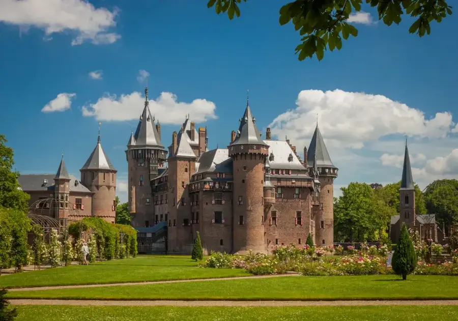
Kasteel de Haar Utrecht
Kasteel de Haar is the largest castle in the Netherlands.
Nature
More places
Amerongse Berg
The Amerongse Berg is the highest point of the Utrechtse Heuvelrug.
Drieberg
The Drieberg is a small hill on the Utrechtse Heuvelrug.
Drieberg Summit
The Drieberg Summit forms the highest point of this small hill in the Utrechtse Heuvelrug.
Drie Berg Top
The Drie Berg Top is a smaller moraine hill in the central Utrechtse Heuvelrug.
Scherpenzeel Ridge
The Scherpenzeel Ridge is an elongated elevation at the edge of the Heuvelrug.
Doornse Berg
The Doornse Berg is an elevation on the Utrechtse Heuvelrug.
Doorn Hill
Doorn Hill is situated in the Utrechtse Heuvelrug.

National Military Museum Soesterberg
The National Military Museum in Soesterberg displays the history of the Dutch armed forces.