Plizio Visual Lab
Drieberg
Plizio editorial teamData Sources
Mountain
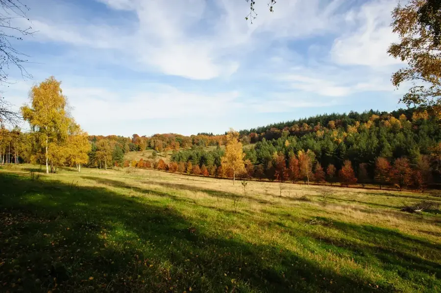
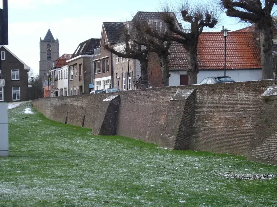
The Drieberg is a prominent elevation in the Utrechtse Heuvelrug National Park, located near the village of Leersum. Standing at a height of approximately 52 meters, it is part of an extensive push moraine ridge formed during the Saale glaciation about 150,000 years ago by advancing ice sheets. Its geological structure is composed of stratified sand and gravel, folded under the immense pressure of the glaciers. Originally, the landscape was dominated by heathland, but extensive reforestation with pine and oak began in the 19th century to supply the timber industry. Today, the Drieberg serves as a vital habitat for various bird species and small mammals that find refuge in its dense mixed woodlands. Hiking trails wind across the gentle crest of the hill, offering visitors insights into the region's diverse topography. Conservation efforts now focus on protecting the nutrient-poor soils and preserving the historical forest structures for future biodiversity.
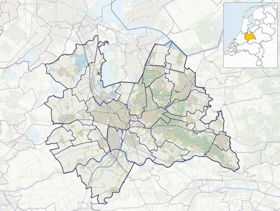
- Location: Utrecht, Netherlands
- Top sights: Broekerbos · Bosreservaat De Heul · Lambalgen
- Nearby: Woudenberg (5 km)
Best time to visit & climate
The most pleasant time to visit is Jun–Aug.
| Jan | Feb | Mar | Apr | May | Jun | Jul | Aug | Sep | Oct | Nov | Dec | |
|---|---|---|---|---|---|---|---|---|---|---|---|---|
| Avg °C | 2 | 3 | 6 | 10 | 13 | 16 | 18 | 18 | 15 | 11 | 6 | 3 |
| Rain mm | 75 | 63 | 56 | 39 | 60 | 62 | 81 | 82 | 60 | 67 | 70 | 78 |
📋 Practical info
Getting there
The small hill on the Heuvelrug is usually easily accessible from nearby villages. The connection is typically via regional linking roads leading up to the edges of the forested areas.
Best season
The region typically features the best conditions for relaxing walks during the spring and summer. The cooler autumn days are also popular with hikers due to the idyllic forest atmosphere.
Terrain & paths
The area is heavily forested, and the paths consist predominantly of well-trodden earth. The changes in elevation are generally minor, so walking on these trails is rarely exhausting.
What to bring
Practical clothing and comfortable walking shoes are usually sufficient for a simple forest tour. On warm summer days, it is highly recommended to bring a drink and some insect repellent.
Parking
Parking spaces are frequently found at official forest entrances or within the adjacent small communities. As a rule, these parking spots are easily and readily available on quieter weekdays.
Safety
The forested environment is considered very peaceful, though fallen branches might block paths after storms. It is always advisable to pay attention to signage and show respect for the natural area.
Time needed
For an average walk around the small hill, visitors typically plan for one to two hours. Those who decide to include the adjacent forest paths often end up spending significantly more time outdoors.
Geography
Facts
- The Drieberg has a maximum elevation of approximately 52 meters.
- It was formed during the Saale glaciation around 150,000 years ago.
- The hill is a component of the Utrechtse Heuvelrug push moraine.
- The area underwent massive reforestation with pine in the 19th century.
- Geologically, the hill consists of compressed sand and gravel layers.
- The Drieberg is located near the municipality of Utrechtse Heuvelrug.
Explore nearby
Notable places around
Route planner — Car & Motorhome
Where do you start? We build the route here, with stops and country notes along the way.
Vehicle
Only stops with (optional):
© OpenStreetMap contributors · OpenRouteService
Sights in the town Drieberg (5)
Lambalgen
Nature reserve with heathland and sand drifts.
Sights nearby
Frequently asked questions
What does the name Drieberg mean?
The name means 'Three Mountains' and refers to the hilly structure.
Where is the Drieberg located?
There are several places with this name; one of the best-known is in the Veluwe near Ede.
What kind of landscape is found there?
Mostly a mix of heathland, sand drifts, and pine forests.
Is the area suitable for hiking?
Yes, there are many quiet paths handy for nature lovers.
Can you see wild boar there?
In the forested areas of the Veluwe, there is always a good chance of spotting wild boar or deer.
Drieberg: where is it located?
Drieberg is located in Utrecht, Netherlands.
Drieberg: what is there to see?
Highlights include Broekerbos, Bosreservaat De Heul, Lambalgen.
Drieberg: when is the best time to visit?
The most pleasant time to visit is Jun, Aug.
Drieberg: why is it worth visiting?
The Drieberg is a prominent elevation in the Utrechtse Heuvelrug National Park, located near the village of Leersum.

Explore with Plizio
Discover more places in Europe
More places in Netherlands →
Nearby cities
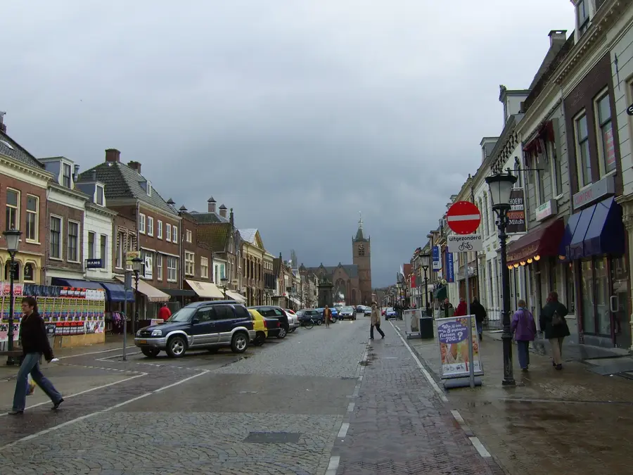
Utrecht
A historic city in the heart of the Netherlands, famous for its Dom Tower and unique wharf-lined canals.
Almere
Almere is the largest city in the province of Flevoland, built entirely on reclaimed land.
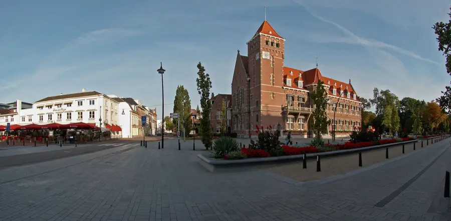
Amersfoort
Amersfoort is a historic city in the province of Utrecht with a well-preserved medieval center.
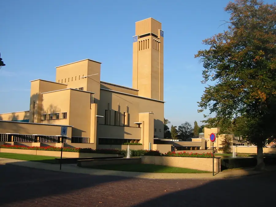
Hilversum
Hilversum is the center of the Dutch broadcasting and television industry.
Nieuwegein
Nieuwegein is a modern city south of Utrecht, established in 1971 as a planned town.
Zeist
Zeist is a city in the province of Utrecht, nestled in the forests of the Utrechtse Heuvelrug.
Soest
Soest is located in the province of Utrecht.
Tiel
Tiel is a town in the Betuwe region.
IJsselstein
IJsselstein is a town in the province of Utrecht.
De Meern
A charming town near Utrecht, combining Roman history with modern comforts in the Green Heart of the Netherlands.
Leerdam
Leerdam is located on the Linge in South Holland.
Driebergen-Rijsenburg
Driebergen-Rijsenburg is located in the province of Utrecht.
Breukelen
Breukelen is a picturesque town on the river Vecht, famous for its magnificent country estates and for giving its name to Brooklyn, New Y…
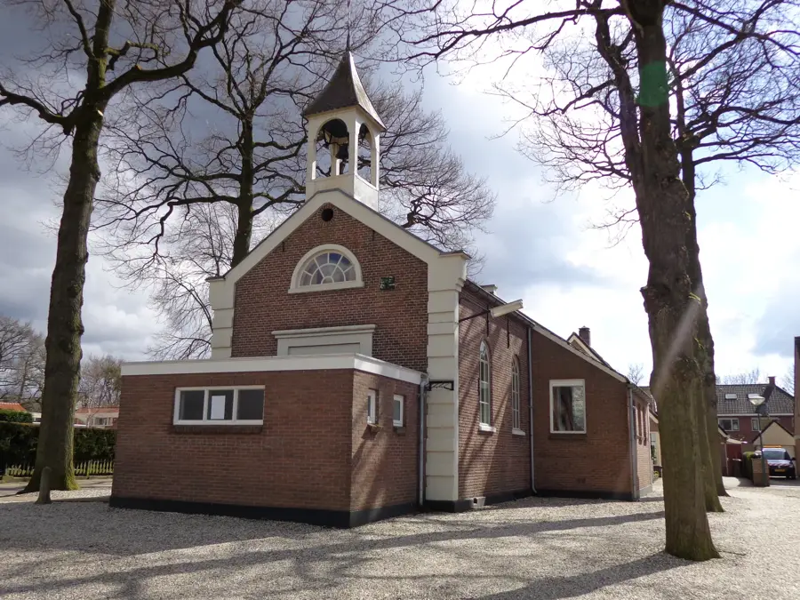
Woudenberg
A charming village in the heart of the Netherlands, known for its beautiful forests and the Henschoter Meer recreational lake.
Vleuten
Vleuten, a charming town near Utrecht, combines historic village character with modern development and proximity to the magnificent De Ha…
History & landmarks
Vianen
A historic fortified town on the Lek, once known as a 'Free City' and seat of the Lords of Brederode.
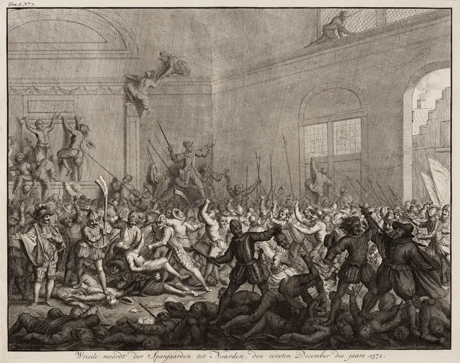
Naarden
One of Europe's best-preserved fortified towns, famous for its distinctive star-shaped layout and double moats.
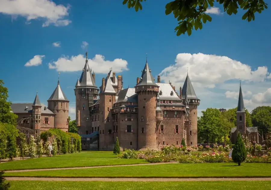
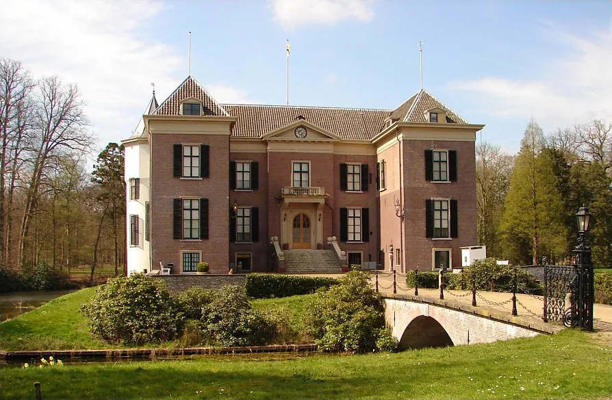
Kasteel de Haar Utrecht
Kasteel de Haar is the largest castle in the Netherlands.
Nature
More places
Drieberg Summit
The Drieberg Summit forms the highest point of this small hill in the Utrechtse Heuvelrug.
Drie Berg Top
The Drie Berg Top is a smaller moraine hill in the central Utrechtse Heuvelrug.
Scherpenzeel Ridge
The Scherpenzeel Ridge is an elongated elevation at the edge of the Heuvelrug.
Scherpenberg
The Scherpenberg is a small hill within the Utrechtse Heuvelrug.
Amerongse Berg
The Amerongse Berg is the highest point of the Utrechtse Heuvelrug.
Doornse Berg
The Doornse Berg is an elevation on the Utrechtse Heuvelrug.
Doorn Hill
Doorn Hill is situated in the Utrechtse Heuvelrug.

National Military Museum Soesterberg
The National Military Museum in Soesterberg displays the history of the Dutch armed forces.