Plizio Visual Lab
Grebbeberg
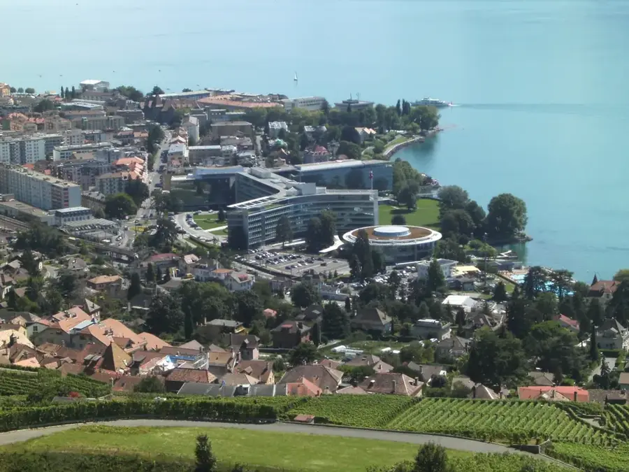
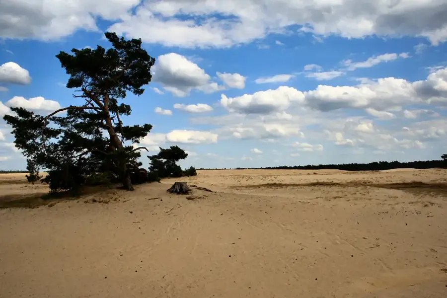
The Grebbeberg is a 52-meter-high hill located in Rhenen, at the southeastern edge of the Utrecht province. Geologically, it is a push moraine formed during the Saale glaciation about 150,000 years ago, standing as a prominent landmark overlooking the Rhine Valley. The site is best known for the Battle of the Grebbeberg in May 1940, a critical defensive effort by the Dutch army to stall the invading German forces. Today, the hill hosts the Grebbeberg Military Cemetery, the first official Dutch field of honor, where more than 800 fallen soldiers are interred. Beyond its historical military significance, the area is a protected nature reserve featuring ancient beech forests and archaeological remains of an Iron Age ring fort. Its strategic elevation above the Lower Rhine made it a vital component of the Grebbe Line defense system for centuries, providing panoramic views of the Betuwe region.
- Location: Gelderland, Netherlands
- Top sights: Neushoornvogels · Kroonkraanvogels · Ringstaartmaki's
- Nearby: Wageningen (5 km)
Best time to visit & climate
The most pleasant time to visit is Jun–Aug.
| Jan | Feb | Mar | Apr | May | Jun | Jul | Aug | Sep | Oct | Nov | Dec | |
|---|---|---|---|---|---|---|---|---|---|---|---|---|
| Avg °C | 2 | 3 | 6 | 10 | 13 | 16 | 18 | 18 | 15 | 11 | 6 | 3 |
| Rain mm | 75 | 63 | 56 | 39 | 60 | 62 | 81 | 82 | 60 | 67 | 70 | 78 |
📋 Practical info
Geography
Facts
- Elevation of 52 meters above sea level
- Site of major battle from May 11 to 13, 1940
- Military cemetery contains over 800 graves
- Formed during the Saale glaciation period
- Archaeological remains of an Iron Age ring fort
- Key position in the historic Grebbe Line defense
Explore nearby
Notable places around
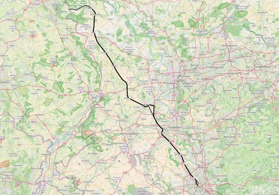
Route planner — Car & Motorhome
Where do you start? We build the route here, with stops and country notes along the way.
© OpenStreetMap contributors · OpenRouteService
Sights in the town Grebbeberg (10)
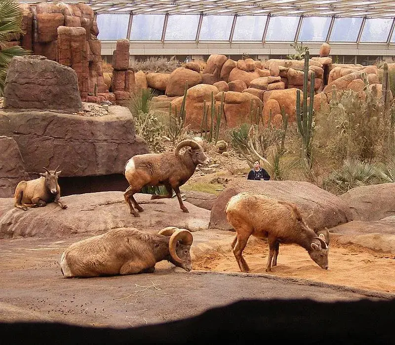
Ringstaartmaki's
Lemurs with a long, ringed tail live here.
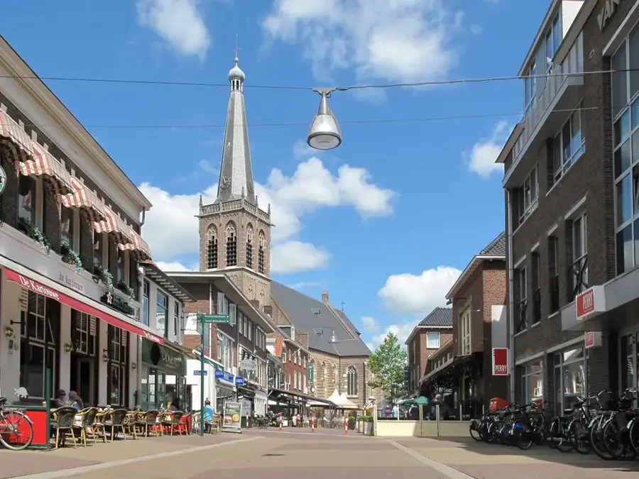
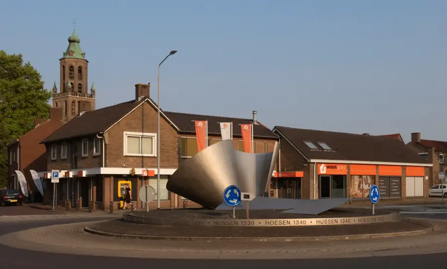
Grebbeberg
Ridge and nature reserve near Rhenen.
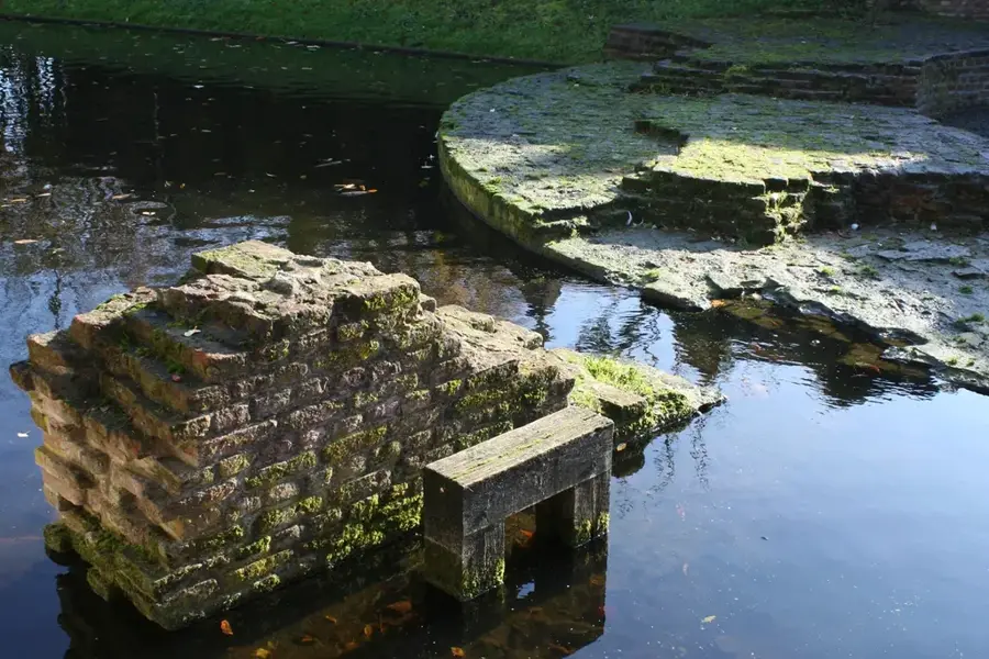
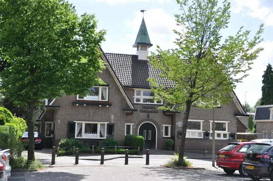
Koningstafel
Archaeological site on the Grebbeberg.
Grebbeberg - Plateau
Viewpoint on the Grebbeberg with a distant view.
Bastions op de Uiterwaarden
Fortifications in the floodplains of the Rhine.
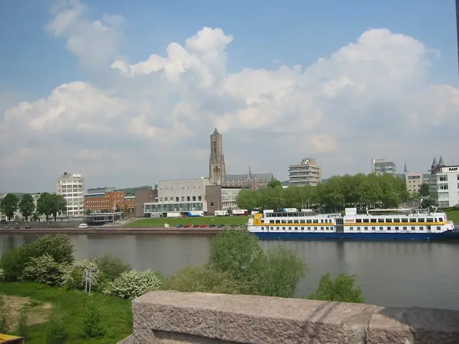
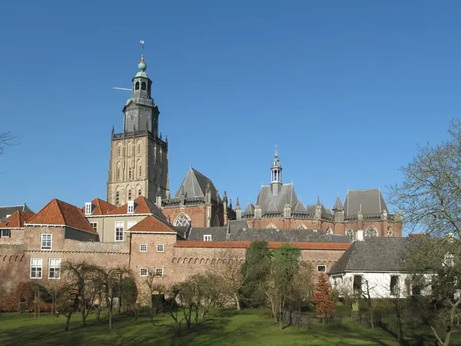
Rijnbrug
Bridge in Rhenen over the Rhine.
Sights nearby
Frequently asked questions
Why is the Grebbeberg historically important?
Is there a cemetery of honor there?
Is there a good view?
Is Ouwehands Zoo located on the Grebbeberg?
Can you go hiking there?
Grebbeberg: where is it located?
Grebbeberg: what is there to see?
Grebbeberg: when is the best time to visit?
Grebbeberg: why is it worth visiting?

Nearby cities
History & landmarks


Nature
More places