Plizio Visual Lab
Meneng Terrace
Weather…
Water temperature…
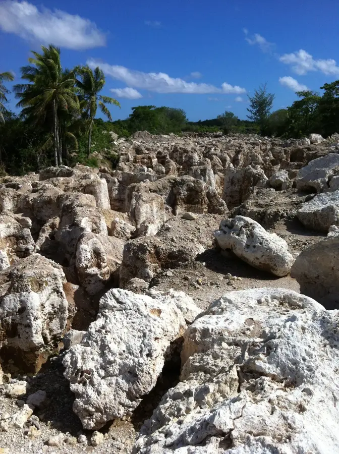
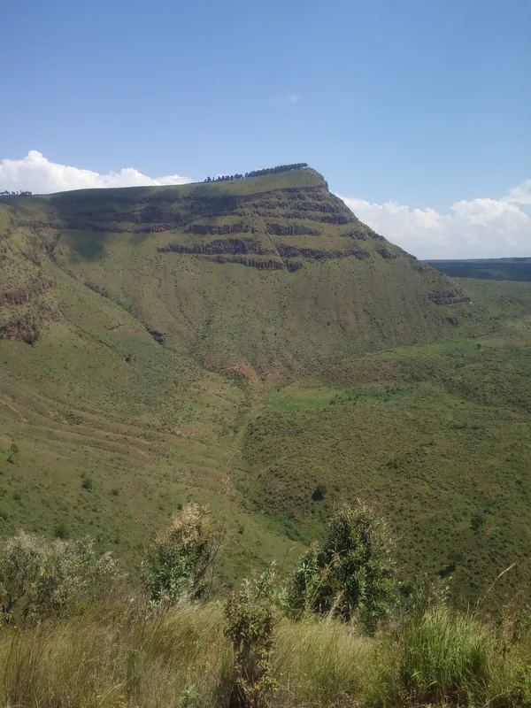
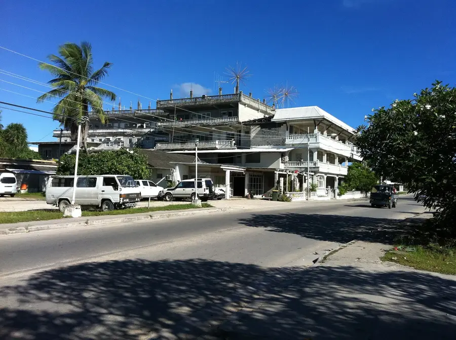
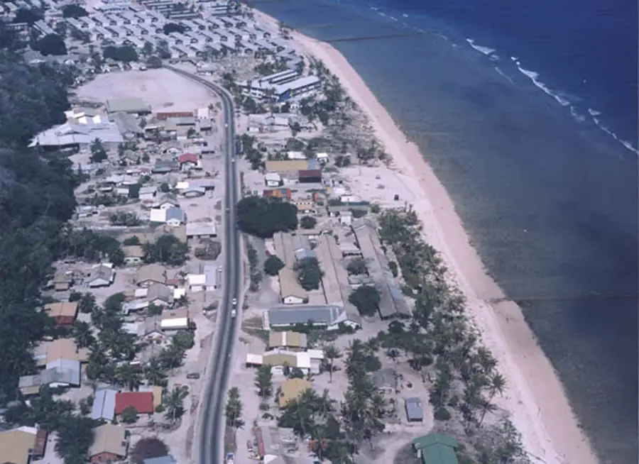
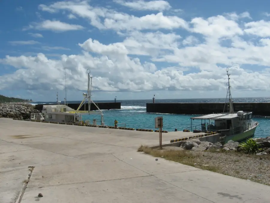
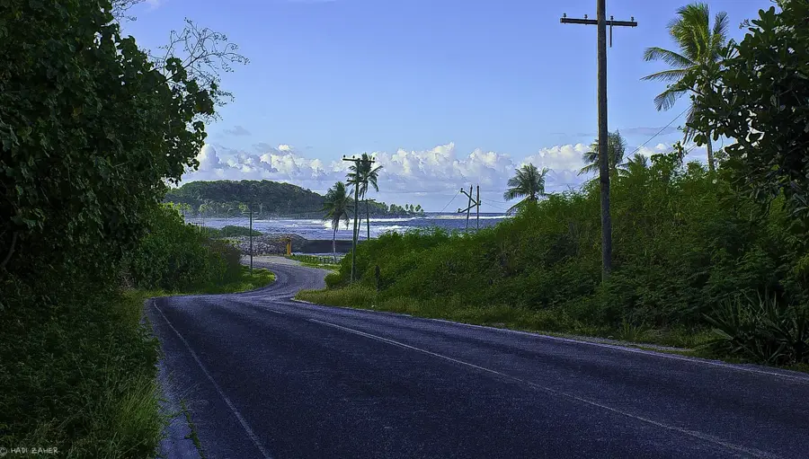
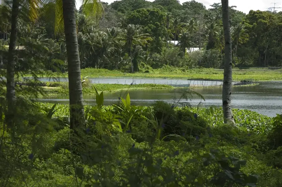
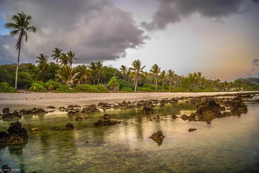
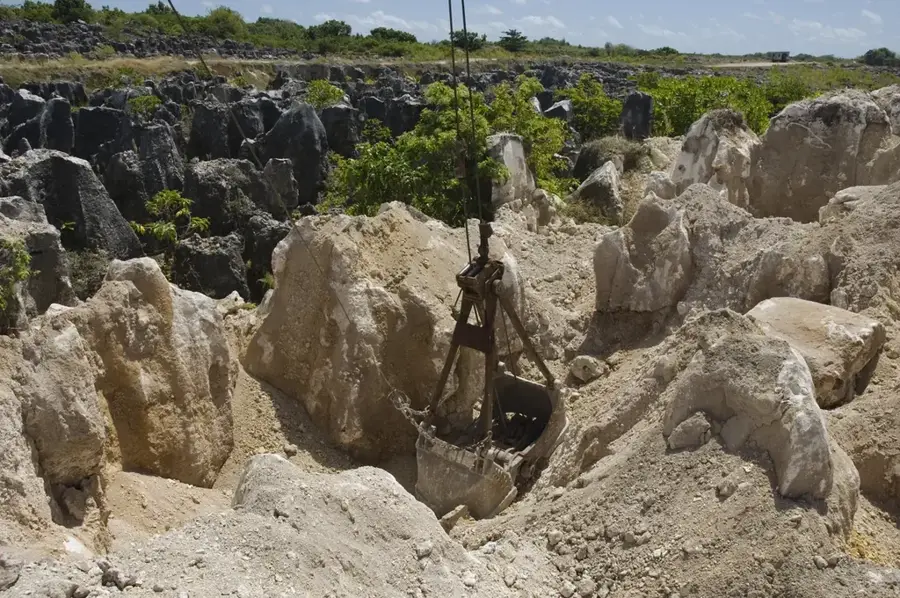
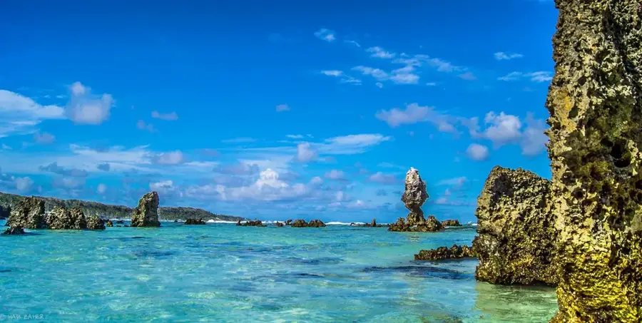
The Meneng Terrace is a significant geographical feature on the island of Nauru, forming a distinct topographical step along the southern coast. Situated between the high central plateau, famed for its phosphate deposits, and the narrow coastal fringe, this elevated flatland provides a unique vantage point over the Pacific. Geologically, the terrace is composed of limestone detritus and weathered coral outcrops, providing a firmer foundation than the surrounding sandy shores. This stability led to the area becoming a hub for essential infrastructure and national landmarks. Key sites located here include the Meneng Hotel and the State House, which serves as the official presidential residence. The transition from the terrace to the interior is often marked by jagged limestone pinnacles and cliffs, creating a dramatic backdrop to the government buildings. For those exploring Nauru, the Meneng Terrace provides the clearest example of the island's 'wedding cake' structure, where successive coral lifts have created a series of terraces over thousands of years.
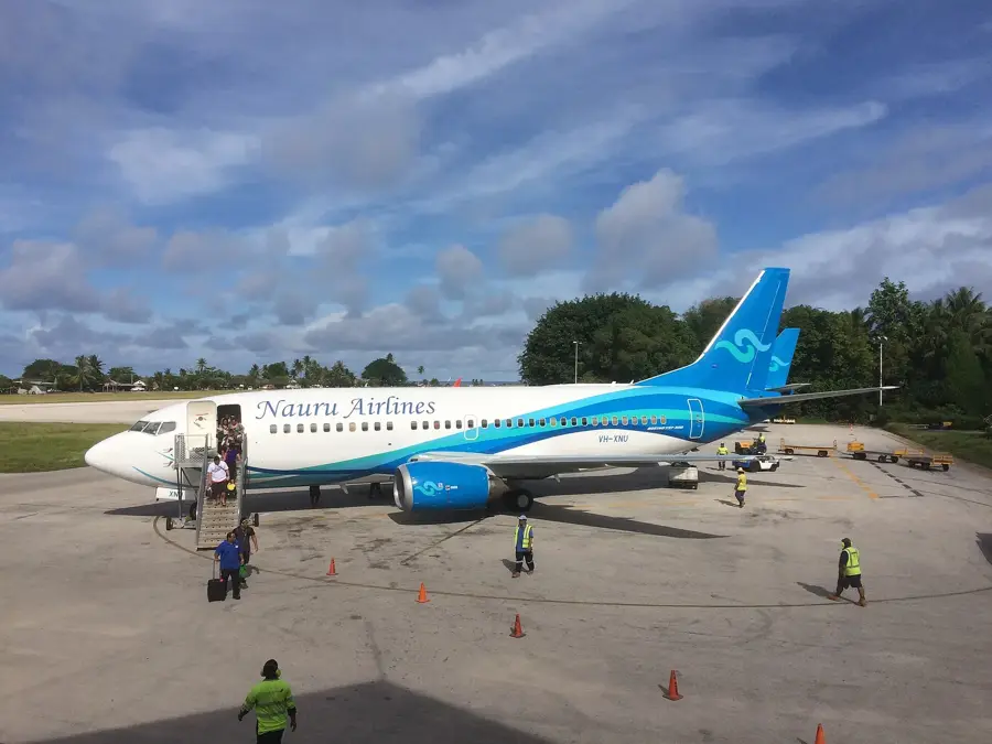
- Location: Nauru
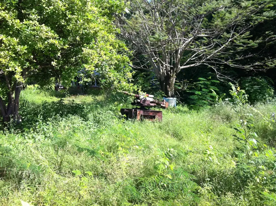
- Top sights: Japanese WWII guns and bunker · Gun · Lagoon viewpoint
- Nearby: Arenibek (4 km)
Best time to visit & climate
The most pleasant time to visit is May, Jun, Sep.
| Jan | Feb | Mar | Apr | May | Jun | Jul | Aug | Sep | Oct | Nov | Dec | |
|---|---|---|---|---|---|---|---|---|---|---|---|---|
| Avg °C | 28 | 28 | 28 | 28 | 28 | 28 | 28 | 28 | 28 | 28 | 28 | 28 |
| Rain mm | 194 | 192 | 193 | 161 | 116 | 107 | 123 | 118 | 108 | 118 | 133 | 202 |
📋 Practical info
Geography
Facts
- Terrace width varies between 100 and 250 meters
- Seat of the primary national government institutions
- Soil is composed of consolidated coral sand
- Historically the site of major coconut plantations
- Protected by natural fringing reef barriers
- Elevation is only a few meters above sea level
Explore nearby
Notable places around
Route planner — Car & Motorhome
Where do you start? We build the route here, with stops and country notes along the way.
© OpenStreetMap contributors · OpenRouteService
Sights in the town Meneng Terrace (10)
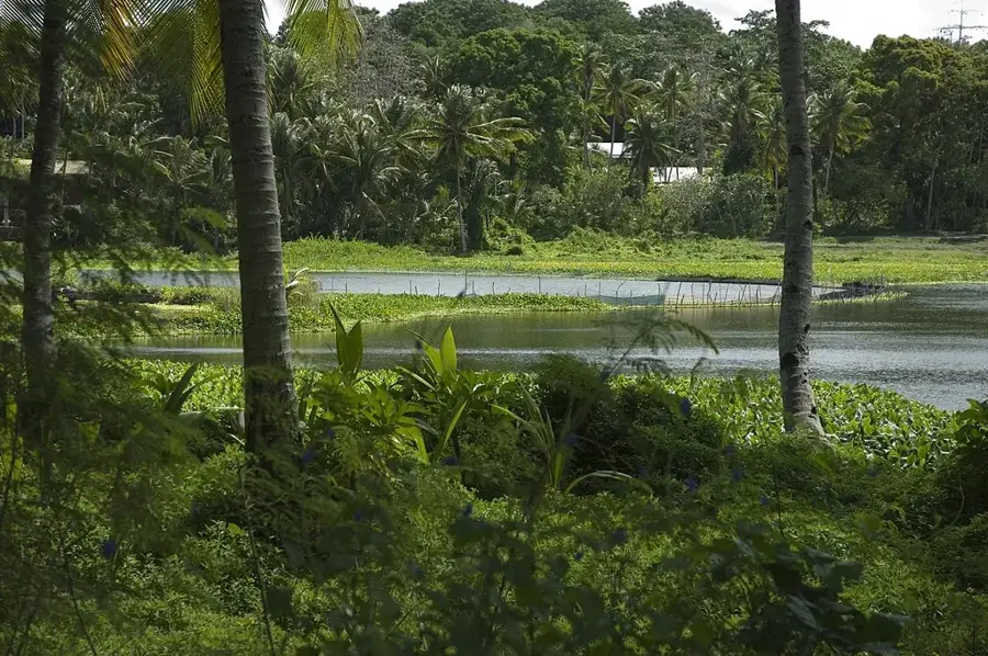
Lagoon viewpoint
Viewpoint overlooking the lagoon, a quiet spot to observe the water.
Buada Chapel
Chapel in the interior of Nauru, used for Christian gatherings.
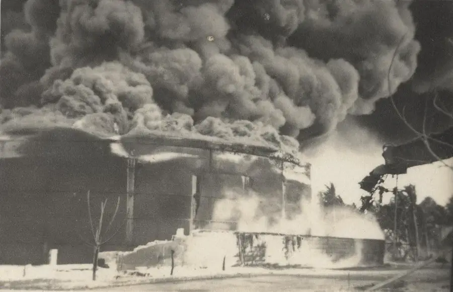
Japanese WWII Prison
Former Japanese prison from WWII, evidence of the occupation history.
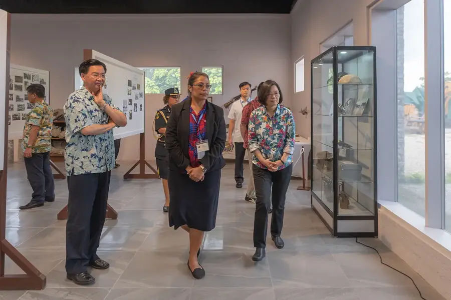
Naoero Museum🏛 museum
Museum in Nauru, displaying exhibits on the island's history and culture.
Japanese WWII Gun
Japanese WWII gun, positioned on the coast.
Command Ridge
Mountain on Nauru, the highest point of the island with historical relics.
Anibare Bay
Bay on the east coast of Nauru, known for its sandy beach and waves.
Sights nearby
Frequently asked questions
What is the Meneng Terrace?
Can you visit the terrace?
Is it interesting for photographers?
How long is a visit?
Is there an entrance fee?
Meneng Terrace: where is it located?
Meneng Terrace: what is there to see?
Meneng Terrace: when is the best time to visit?
Meneng Terrace: why is it worth visiting?

Nearby cities


History & landmarks

Nature


More places