Plizio Visual Lab
Buada Basin

Weather…
Water temperature…
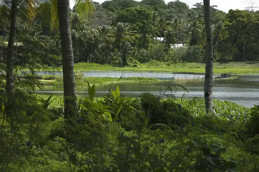
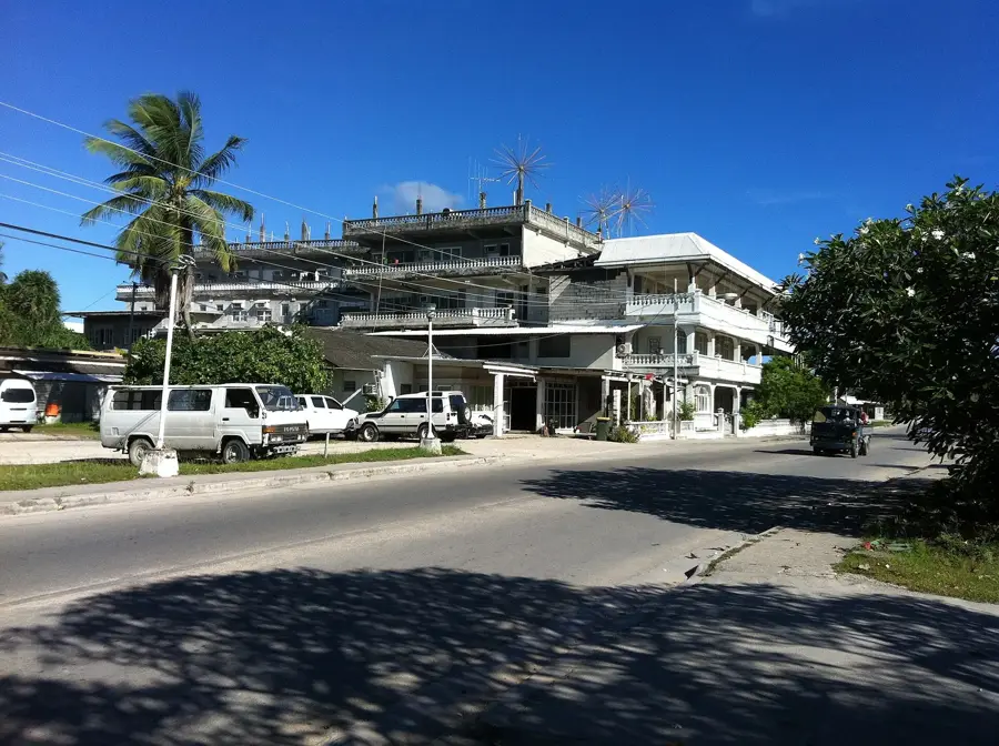
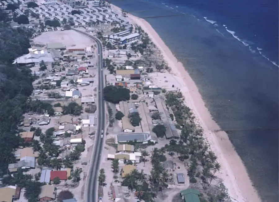
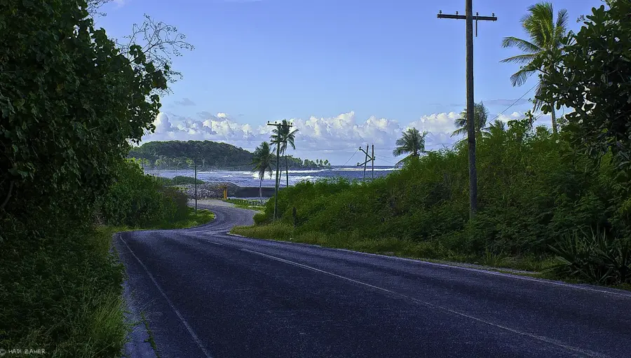
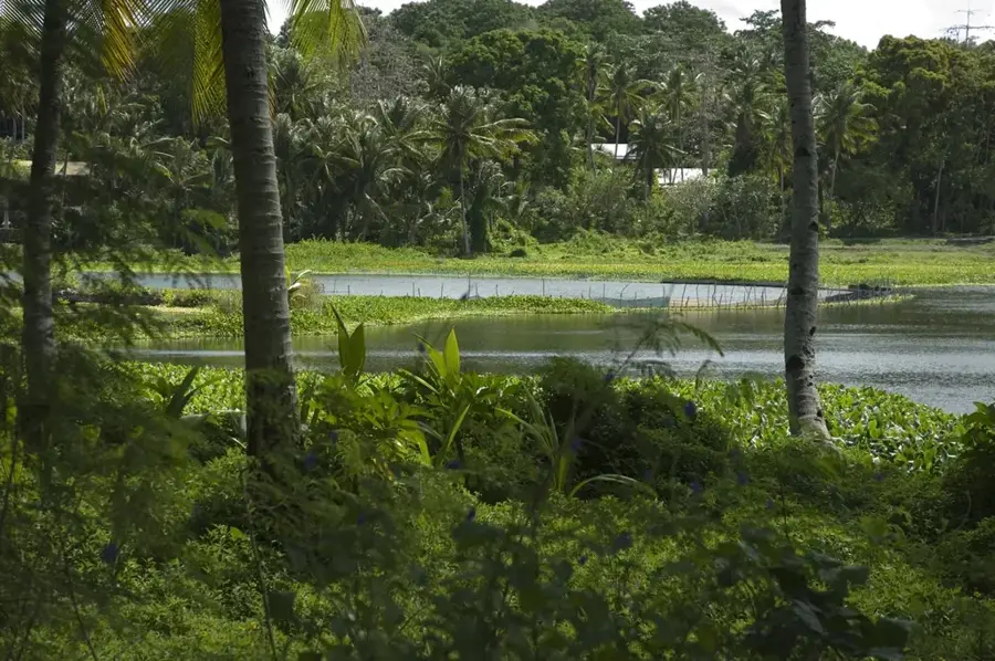
The Buada Basin is one of the most unique geographical features of Nauru, standing in stark contrast to the barren, phosphate-mined landscape seen on the rest of the island. This natural depression within the central plateau is home to the Buada Lagoon, the nation's only freshwater lake. The basin's exceptionally fertile soil has allowed lush vegetation to survive, making it the island's most significant agricultural area, where crops like bananas, pineapples, and coconuts are grown. The area was largely spared from intensive surface mining, thus preserving its original tropical character. The small village on the lagoon's shores and the surrounding gardens form the "green heart" of Nauru, which is not only ecologically vital but also provides a fundamental food source and a place of respite for the local community within its cooler microclimate.
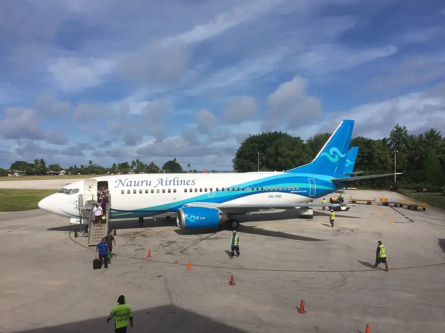
- Location: Nauru
- Top sights: Lagoon viewpoint · Japanese WWII Prison · Buada Chapel
- Nearby: Ewa (4 km)
Best time to visit & climate
The most pleasant time to visit is May, Jun, Sep.
| Jan | Feb | Mar | Apr | May | Jun | Jul | Aug | Sep | Oct | Nov | Dec | |
|---|---|---|---|---|---|---|---|---|---|---|---|---|
| Avg °C | 28 | 28 | 28 | 28 | 28 | 28 | 28 | 28 | 28 | 28 | 28 | 28 |
| Rain mm | 194 | 192 | 193 | 161 | 116 | 107 | 123 | 118 | 108 | 118 | 133 | 202 |
📋 Practical info
Geography
Facts
- Nauru's only significant inland depression
- Contains the brackish water Buada Lagoon
- Soil is rich in organic matter compared to the coast
- Primary location for domestic fruit and vegetable cultivation
- Situated 5-10 meters below the surrounding plateau
- Acts as a natural catchment for surface runoff
Explore nearby
Notable places around
Route planner — Car & Motorhome
Where do you start? We build the route here, with stops and country notes along the way.
© OpenStreetMap contributors · OpenRouteService
Sights in the town Buada Basin (10)
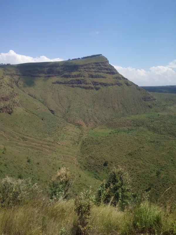
Command Ridge
Mountain in Nauru, the highest point of the island.
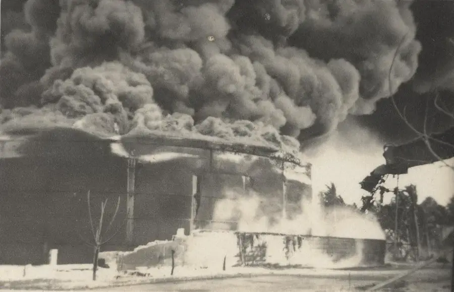
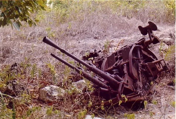
Japanese WWII guns and bunker
Japanese guns and bunker from World War II in Buada.
Orro Congregational Church
Congregational church in Orro, Nauru, a place of worship.
Naoero Museum🏛 museum
Museum in Nauru with exhibits on the island's history and culture.
A.O.G
Christian church in Nauru, a place for worship services.
Monument to the Nauruans Exiled in WWII
Monument to the Nauruans exiled during World War II.
Sights nearby
Frequently asked questions
What makes the Buada basin so beautiful?
Can you swim in the lake?
Is it family-friendly?
Is parking available?
What should I bring?
Buada Basin: where is it located?
Buada Basin: what is there to see?
Buada Basin: when is the best time to visit?
Buada Basin: why is it worth visiting?

Nearby cities


History & landmarks


Nature
More places