Plizio Visual Lab
Western Slopes
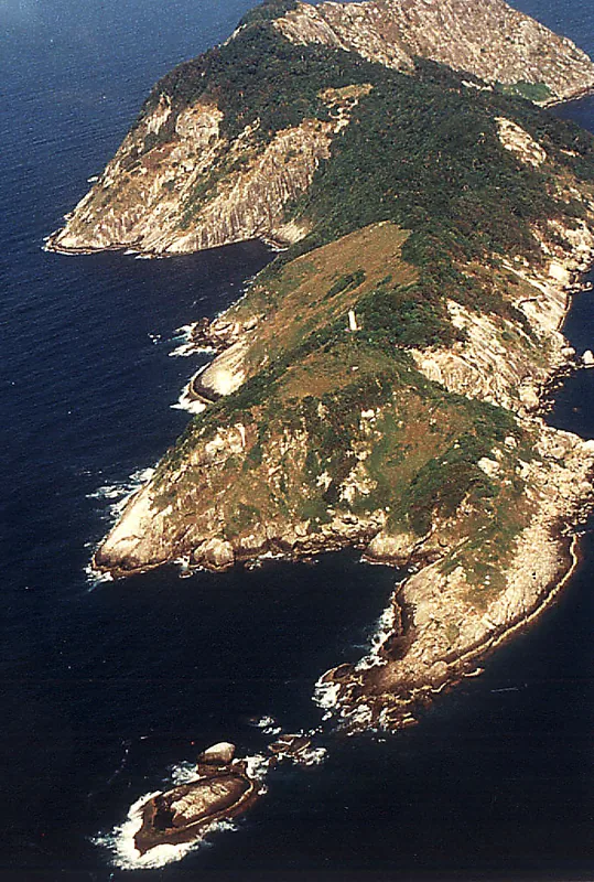
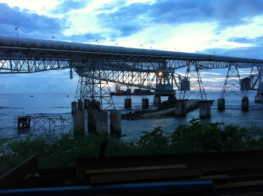
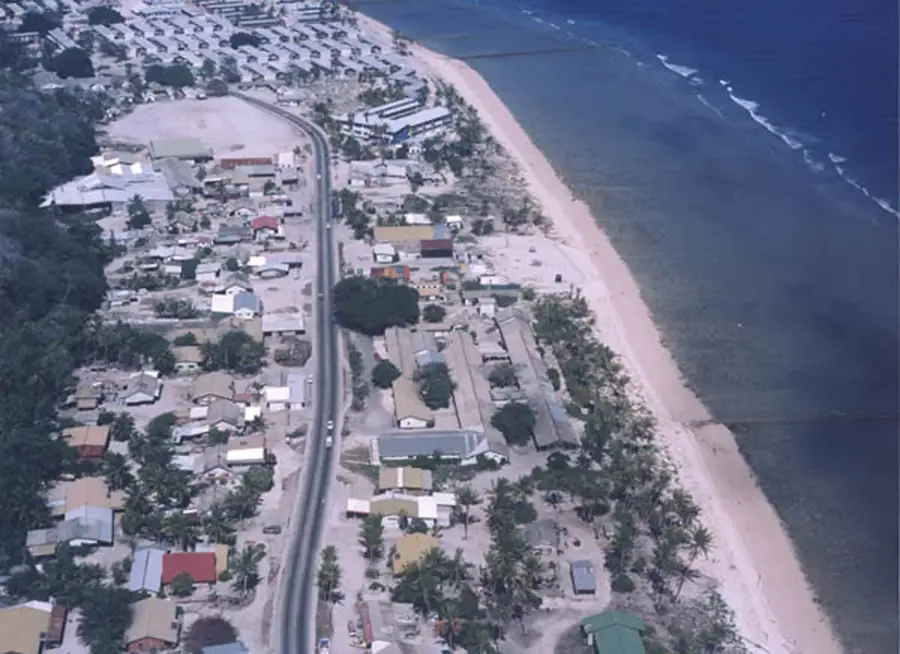
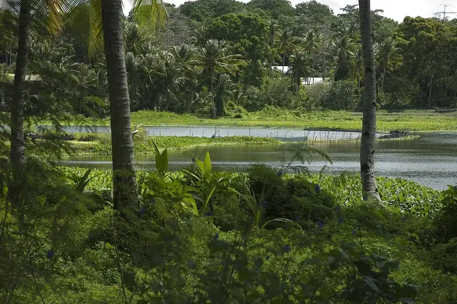
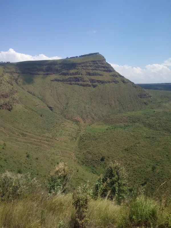
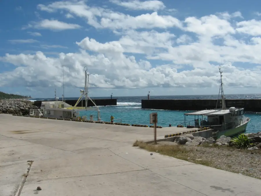
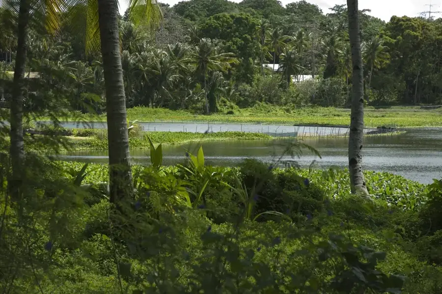
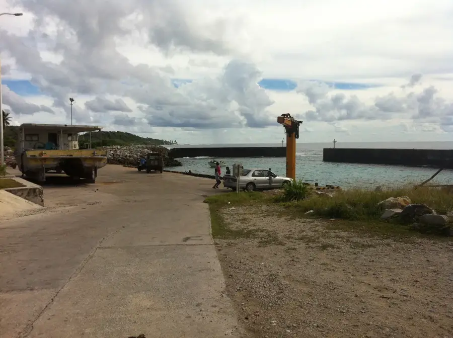
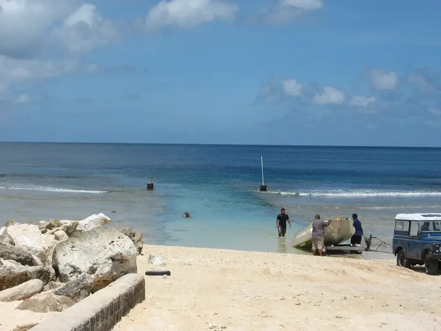
The western slopes of Nauru form a dramatic geographical transition between the elevated interior plateau, known as Topside, and the narrow coastal plain. In the districts of Aiwo and Denigomodu, these slopes drop steeply by approximately 60 meters, creating a prominent natural escarpment. Clad in resilient tropical vegetation, the slopes provide a lush green backdrop to the urbanized coastal areas. Observation points along these ridges offer some of the island's best vantage points, providing sweeping views of the Aiwo harbor, the phosphate processing cantilever, and memorable Pacific sunsets. Geologically, these slopes represent the outer rim of the raised coral atoll. While the interior plateau has been heavily modified by decades of phosphate extraction, the slopes serve as a vital buffer zone and a defining topographic feature that separates the industrial heart of the island from the residential and maritime activities along the western shore.
- Location: Nauru
- Top sights: Monument to the Nauruans Exiled in WWII · Cantilever Cranes · A.O.G
- Nearby: Anetan (4 km)
Best time to visit & climate
The most pleasant time to visit is May, Jun, Sep.
| Jan | Feb | Mar | Apr | May | Jun | Jul | Aug | Sep | Oct | Nov | Dec | |
|---|---|---|---|---|---|---|---|---|---|---|---|---|
| Avg °C | 28 | 28 | 28 | 28 | 28 | 28 | 28 | 28 | 28 | 28 | 28 | 28 |
| Rain mm | 194 | 192 | 193 | 161 | 116 | 107 | 123 | 118 | 108 | 118 | 133 | 202 |
📋 Practical info
Geography
Facts
- Crucial link zone between the coast and the plateau
- Site of extensive historical mining infrastructure
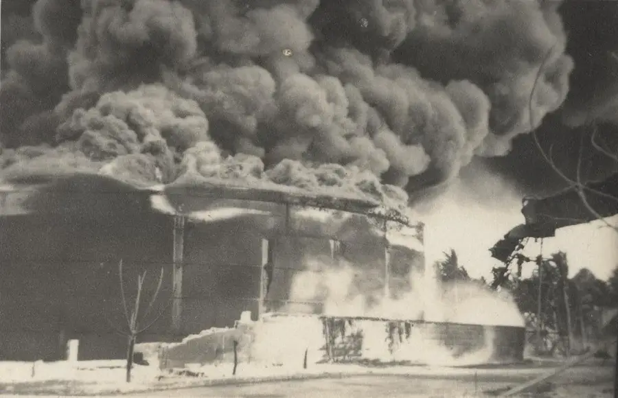
- Contains remnants of Japanese WWII bunkers
- Offers expansive views of the Aiwo harbor
- Vulnerable to landslides following heavy rainfall
- Vegetation consists primarily of secondary growth
Explore nearby
Notable places around
Route planner — Car & Motorhome
Where do you start? We build the route here, with stops and country notes along the way.
© OpenStreetMap contributors · OpenRouteService
Sights in the town Western Slopes (10)
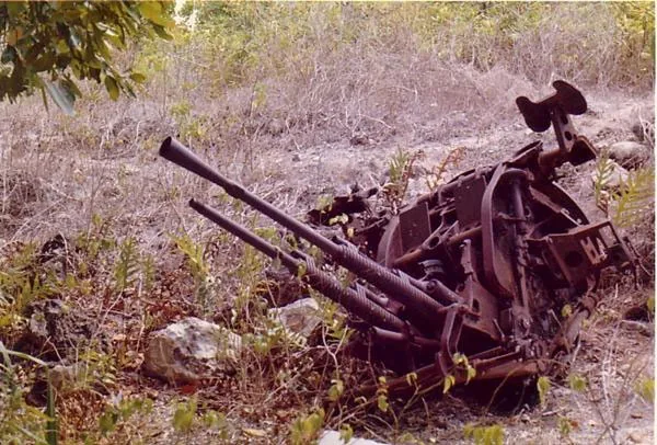
Japanese WWII Gun
A Japanese gun from World War II on the western slopes.
Broken Down Cantilever Cranes
Dilapidated cranes on the west coast of Nauru, industrial relics.
Orro Congregational Church
Congregational church in Orro, Nauru, a place of worship.
Buada Chapel
Christian chapel in Buada, Nauru, for prayers and gatherings.
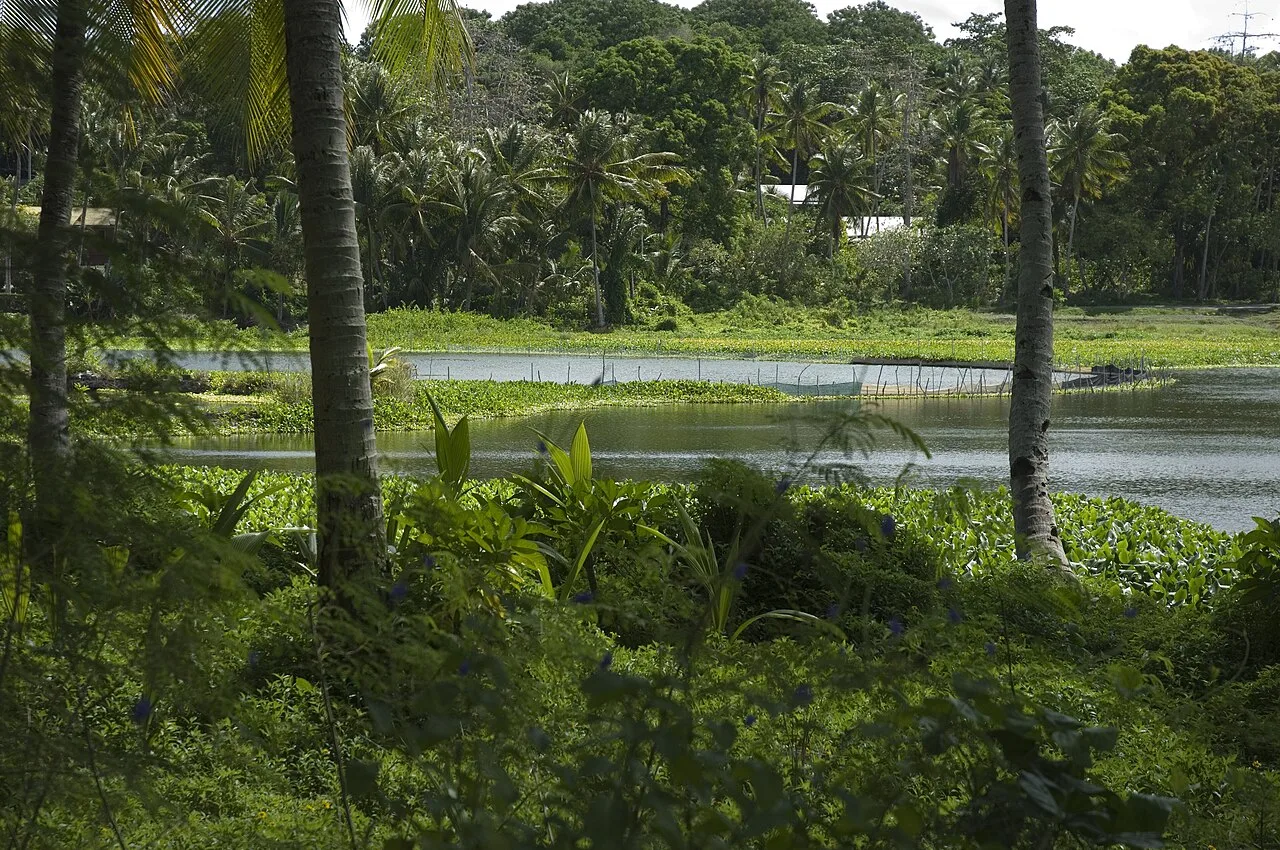
Lagoon viewpoint
Viewpoint over the lagoon in Nauru, a quiet spot.
Naoero Museum🏛 museum
Museum in Nauru with exhibits on the island's history and culture.
Sights nearby
Frequently asked questions
Are the Western Slopes easily accessible?
Are there hiking trails there?
What is the best season to visit?
Is a guide needed?
Is the place interesting for photographers?
Western Slopes: where is it located?
Western Slopes: what is there to see?
Western Slopes: when is the best time to visit?
Western Slopes: why is it worth visiting?

Nearby cities


History & landmarks


Nature
More places