Plizio Visual Lab
South Point Meneng
Weather…
Water temperature…
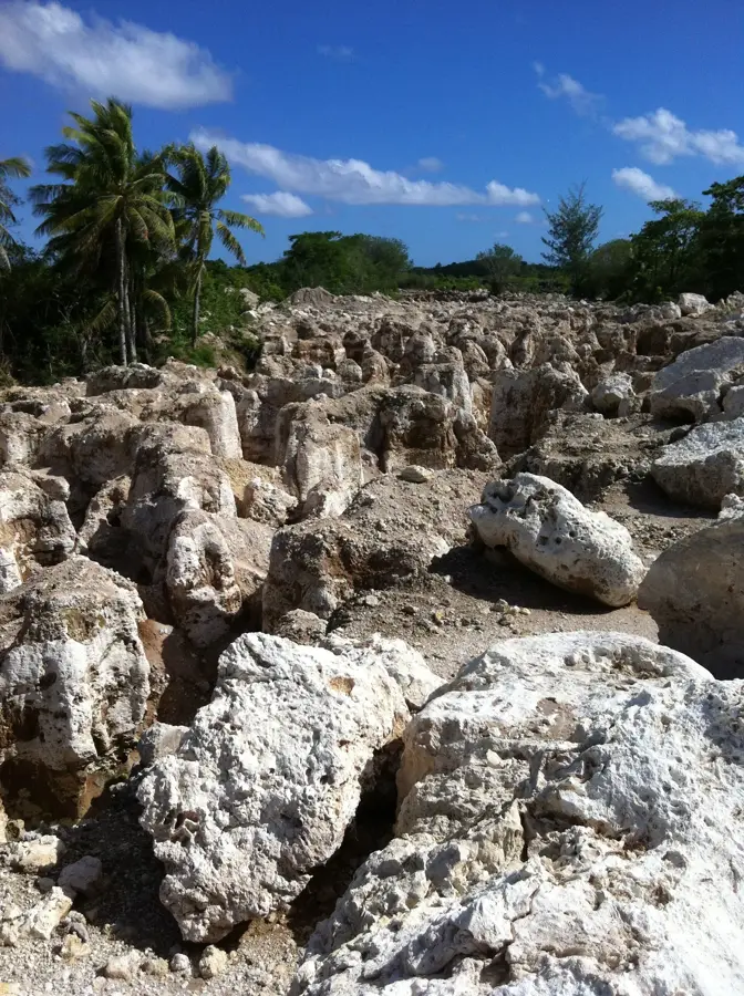
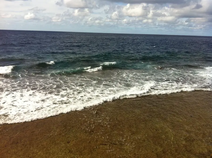
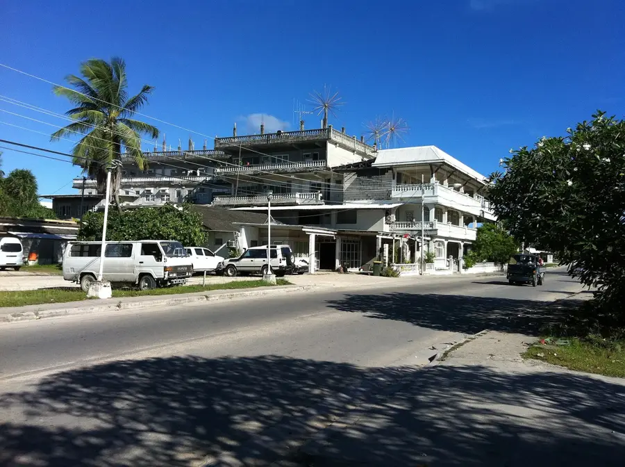
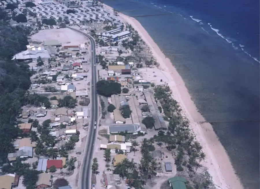
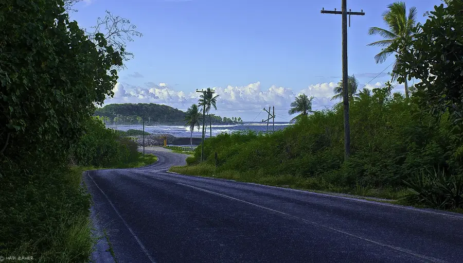
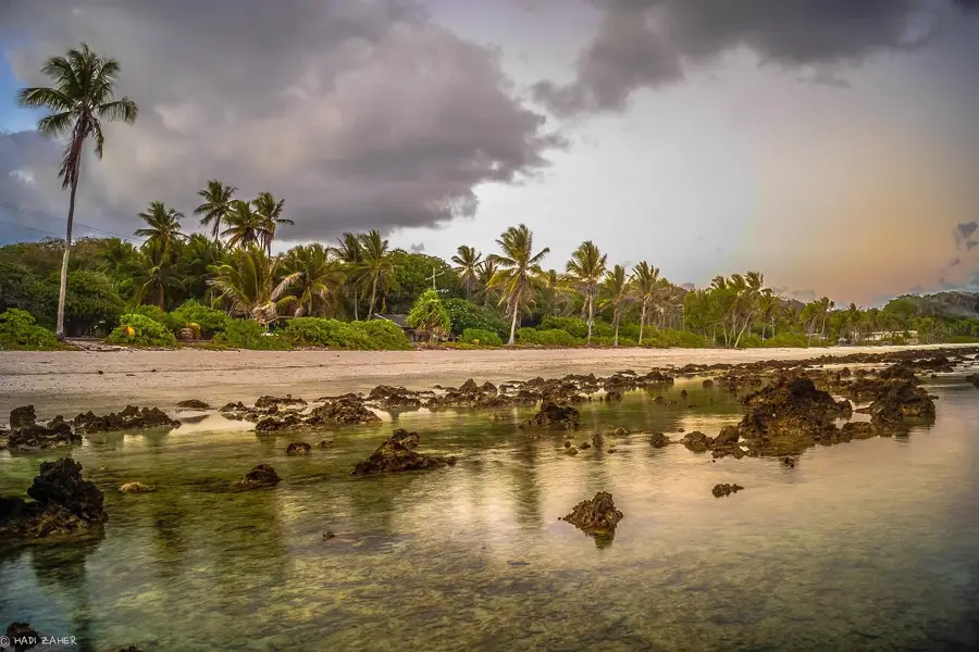
South Point in the Meneng District is the southernmost geographic extremity of Nauru, presenting a rugged and untamed coastal vista. This point is characterized by towering coral limestone pinnacles, the skeletal remains of the island's geological past, jutting out from the turquoise waters. The interaction between the Pacific tides and the jagged reef here is particularly violent, creating a dramatic display of sea spray and crashing waves that can be heard from a distance. Historically, South Point served as a crucial navigational landmark for visiting ships and phosphate freighters. The area is a haven for migratory sea birds, including frigatebirds and noddies, which can often be seen nesting among the high coral crags. For visitors, a walk along this stretch of coastline provides a somber reflection on Nauru's environmental history, as the exposed coral structures are a direct result of extensive phosphate mining. Despite this, the area retains a raw natural power, especially during high tide when the ocean surges through the blowholes and crevices of the ancient reef, showcasing the eternal struggle between land and sea.
- Location: Nauru
- Top sights: Gun · Catholic Church · Japanese WWII guns and bunker
- Nearby: Uaboe (4 km)
Best time to visit & climate
The most pleasant time to visit is May, Jun, Sep.
| Jan | Feb | Mar | Apr | May | Jun | Jul | Aug | Sep | Oct | Nov | Dec | |
|---|---|---|---|---|---|---|---|---|---|---|---|---|
| Avg °C | 28 | 28 | 28 | 28 | 28 | 28 | 28 | 28 | 28 | 28 | 28 | 28 |
| Rain mm | 194 | 192 | 193 | 161 | 116 | 107 | 123 | 118 | 108 | 118 | 133 | 202 |
📋 Practical info
Geography
Facts
- Southernmost point of the Meneng district
- Proximity to the State House and Meneng Hotel
- Coastline is protected by concrete sea walls
- The seabed drops off sharply just beyond the reef
- Frequent location for official state ceremonies
- Provides views of the southern international shipping lanes
Explore nearby
Notable places around
Route planner — Car & Motorhome
Where do you start? We build the route here, with stops and country notes along the way.
© OpenStreetMap contributors · OpenRouteService
Sights in the town South Point Meneng (10)
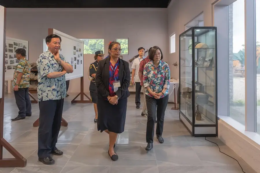
Naoero Museum🏛 museum
Museum in Nauru with exhibits on the island's history and culture.
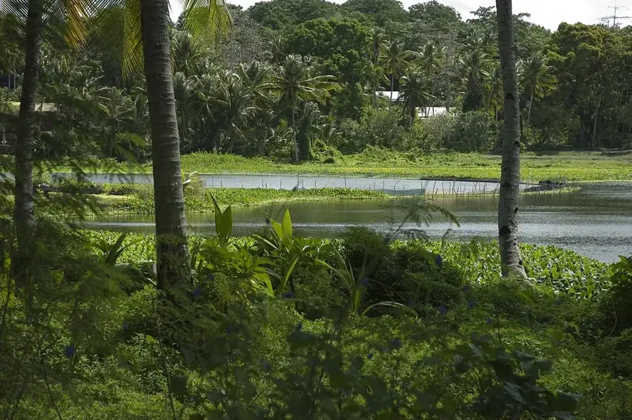
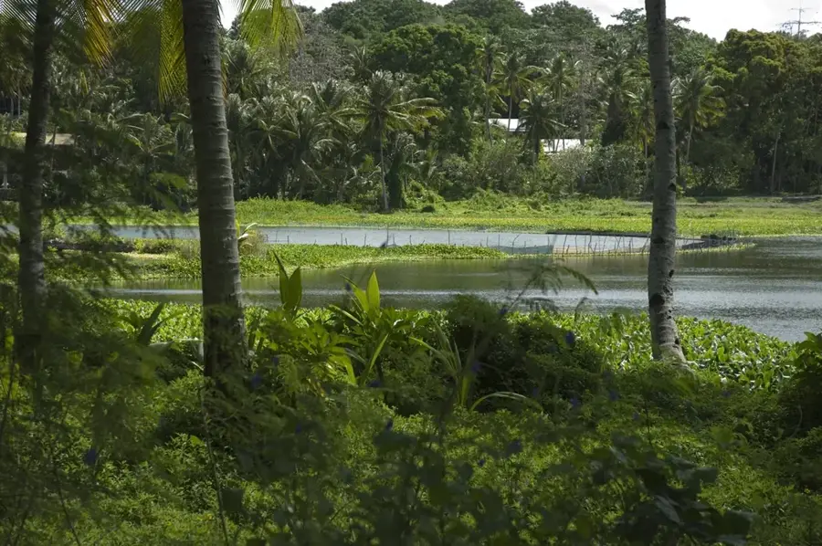
Lagoon viewpoint
Viewpoint over the lagoon in Nauru, a quiet spot.
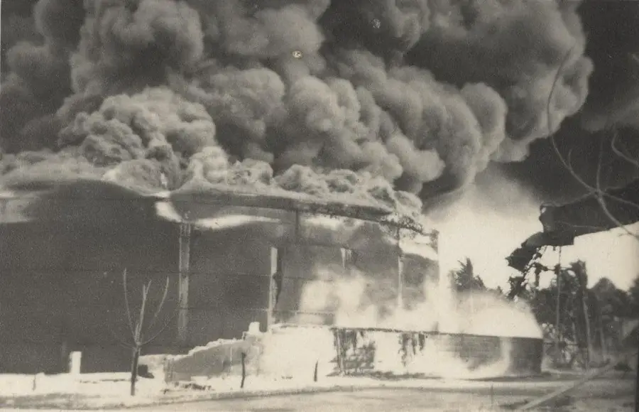
Japanese WWII Prison
Former Japanese prison from World War II in Meneng.
Buada Chapel
Christian chapel in Buada, Nauru, for prayers and gatherings.
Orro Congregational Church
Congregational church in Orro, Nauru, a place of worship.
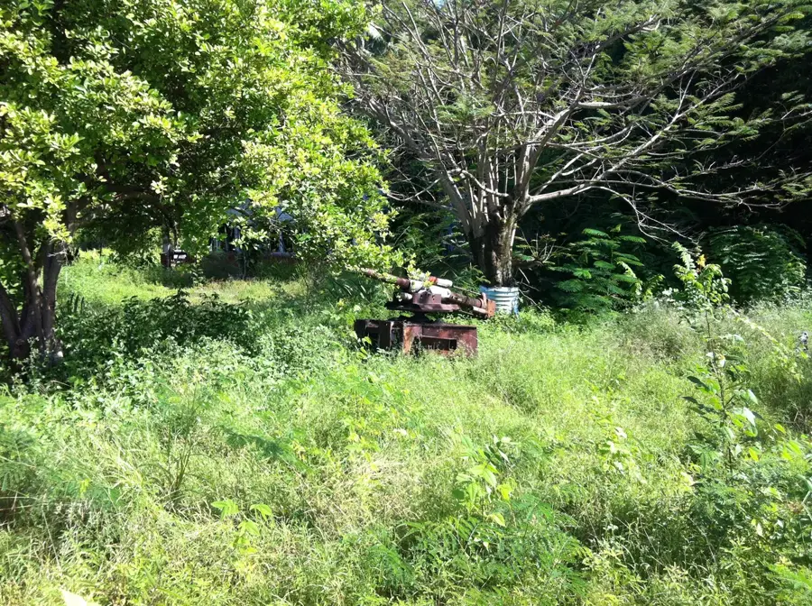
Japanese WWII Gun
A Japanese gun from World War II in Meneng.
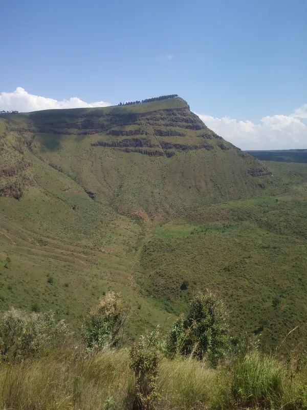
Command Ridge
Mountain in Nauru, the highest point of the island.
Sights nearby
Frequently asked questions
How to reach the South Point?
Is the path marked?
What should I bring for the weather?
Is the place crowded?
Are there restroom facilities there?
South Point Meneng: where is it located?
South Point Meneng: what is there to see?
South Point Meneng: when is the best time to visit?
South Point Meneng: why is it worth visiting?

Nearby cities


History & landmarks


Nature
More places