Plizio Visual Lab
Yaren Greenbelt
Weather…
Water temperature…
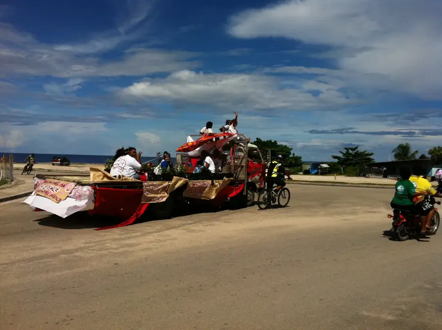
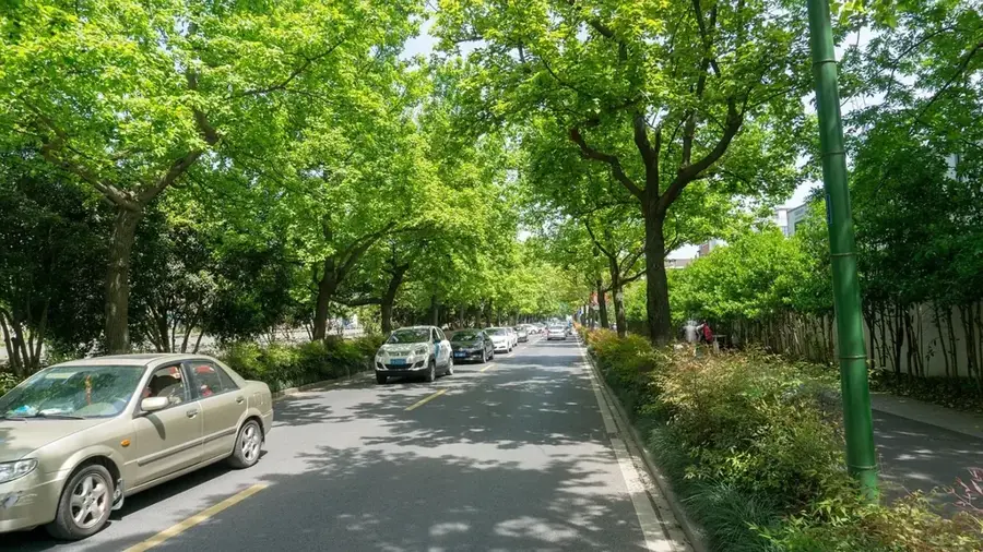
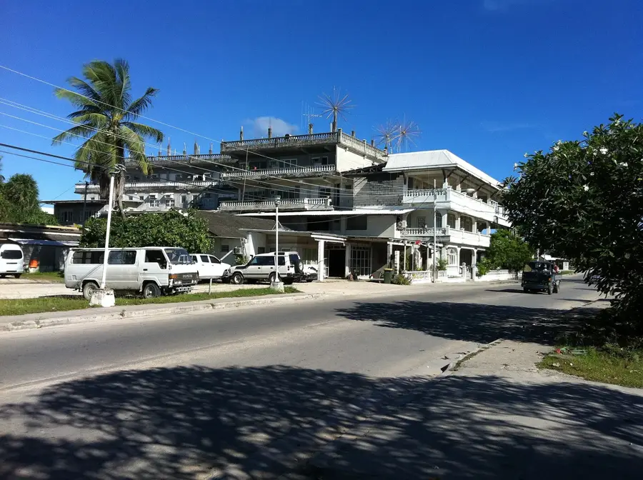
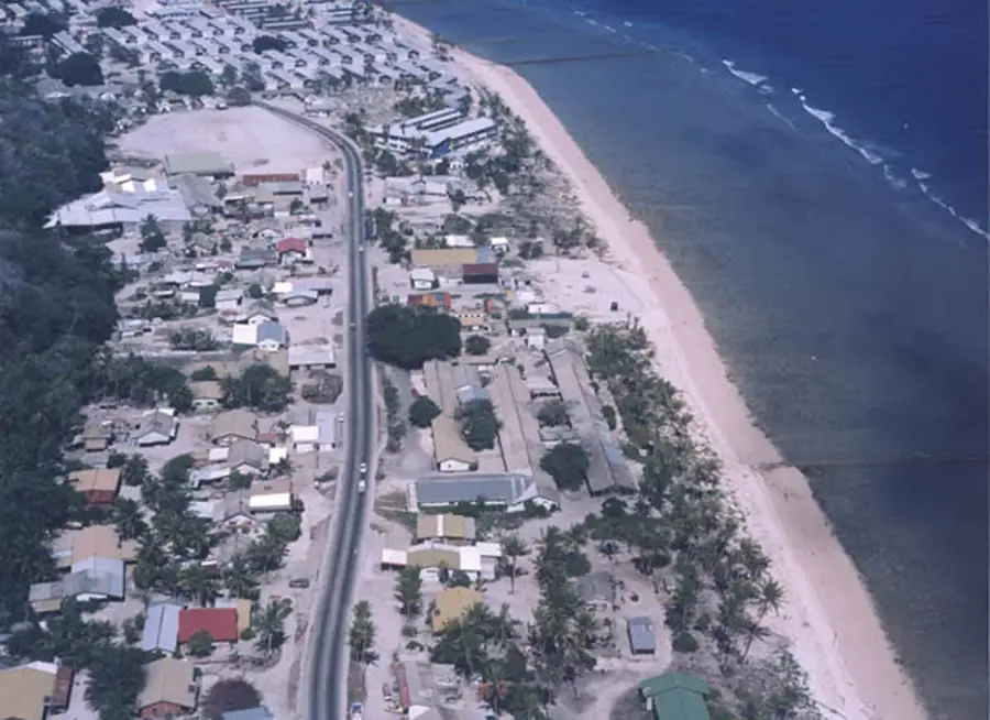
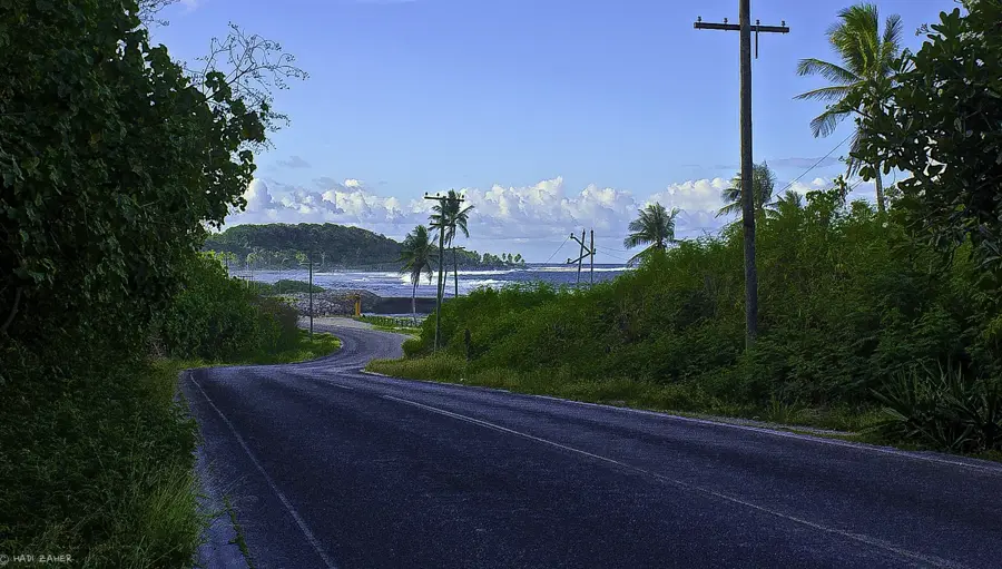
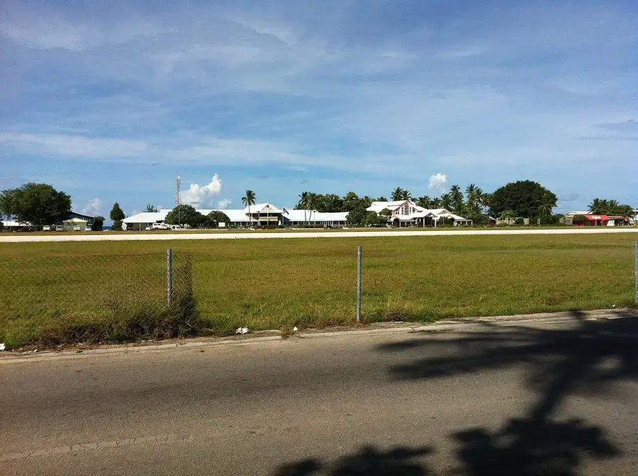
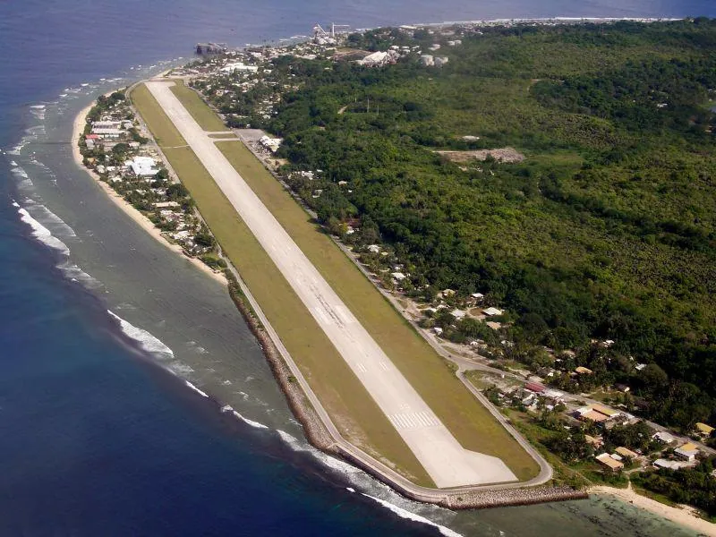
The Yaren Greenbelt serves as the ecological lungs of Nauru’s government district and a vital aesthetic feature of the island's landscape. This artificially created and meticulously maintained green zone stretches along major roads and public buildings in the southwest. The belt consists of a rich variety of tropical flora, with coconut palms and expansive Pisonia trees providing essential shade from the equatorial sun. These spaces are not merely decorative; they provide a crucial habitat for local bird species, including the endemic Nauru reed warbler. In an environment heavily influenced by the history of phosphate mining, this green belt represents a commitment to environmental restoration and urban livability. The shaded avenues offer a pleasant environment for pedestrians and create a park-like connection between the Parliament House, government offices, and the international airport area. It remains one of the best spots in Yaren for a quiet walk and for observing the resilience of Nauru's natural tropical beauty within an urban setting.
- Location: Nauru
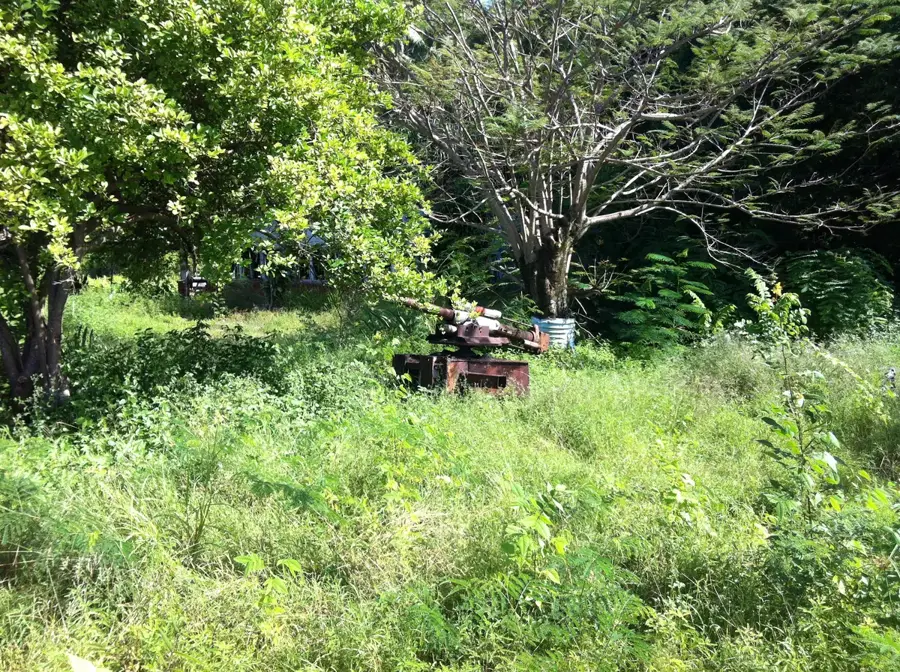
- Top sights: Gun · Catholic Church · Japanese WWII guns and bunker
- Nearby: Baitsi (4 km)
Best time to visit & climate
The most pleasant time to visit is May, Jun, Sep.
| Jan | Feb | Mar | Apr | May | Jun | Jul | Aug | Sep | Oct | Nov | Dec | |
|---|---|---|---|---|---|---|---|---|---|---|---|---|
| Avg °C | 28 | 28 | 28 | 28 | 28 | 28 | 28 | 28 | 28 | 28 | 28 | 28 |
| Rain mm | 194 | 192 | 193 | 161 | 116 | 107 | 123 | 118 | 108 | 118 | 133 | 202 |
📋 Practical info
Geography
Facts
- Yaren serves as the de facto capital of Nauru.
- The greenbelt directly borders the airport runway.
- Magnificent Frangipani trees (Plumeria) are commonly found here.
- Irrigation is partially provided by recycled graywater.
- The area acts as a buffer zone for noise reduction near the airport.
- Several important government buildings are located within this area.
Explore nearby
Notable places around
Route planner — Car & Motorhome
Where do you start? We build the route here, with stops and country notes along the way.
© OpenStreetMap contributors · OpenRouteService
Sights in the town Yaren Greenbelt (10)
Japanese WWII Prison
Former Japanese prison from World War II, evidence of the occupation.
Lagoon viewpoint
Viewpoint overlooking the lagoon, offering a calm view of the water.
Orro Congregational Church
Congregational church serving the local community in Yaren.
Buada Chapel
Small chapel near Buada Lagoon, a quiet place for prayer on the island.
Japanese WWII Gun
A Japanese cannon from World War II, relic of the occupation on Nauru.
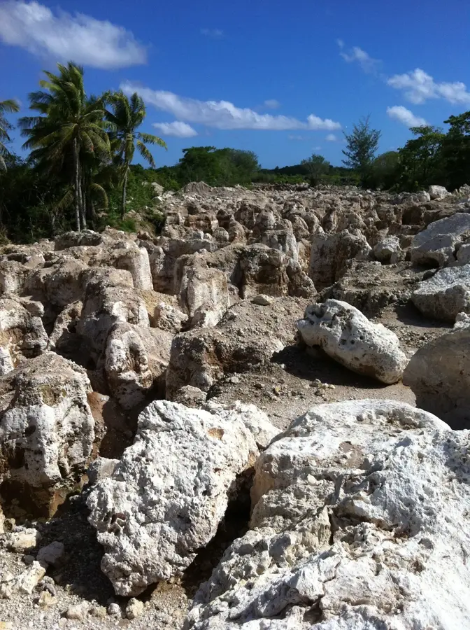
Command Ridge
Command Ridge is the highest point on Nauru, a hill with wartime relics.
Sights nearby
Frequently asked questions
What makes up the Yaren greenbelt?
Are there sports facilities there?
When is it quietest there?
Are dogs allowed?
Is the park illuminated?
Yaren Greenbelt: where is it located?
Yaren Greenbelt: what is there to see?
Yaren Greenbelt: when is the best time to visit?
Yaren Greenbelt: why is it worth visiting?

Nearby cities


History & landmarks


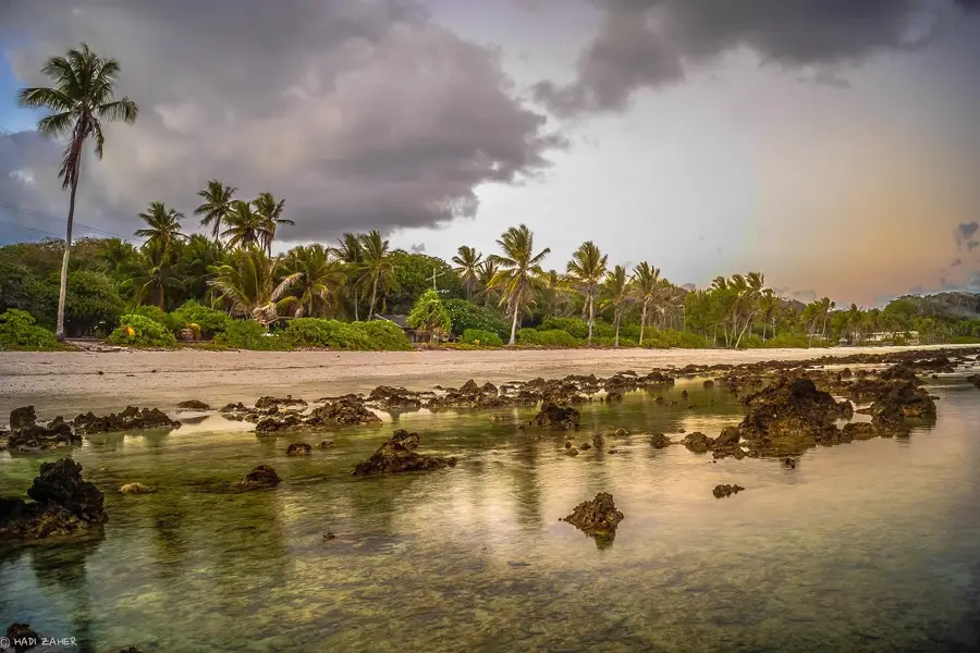

Nature
More places