Plizio Visual Lab
Visoki Vrh
Weather…
Water temperature…
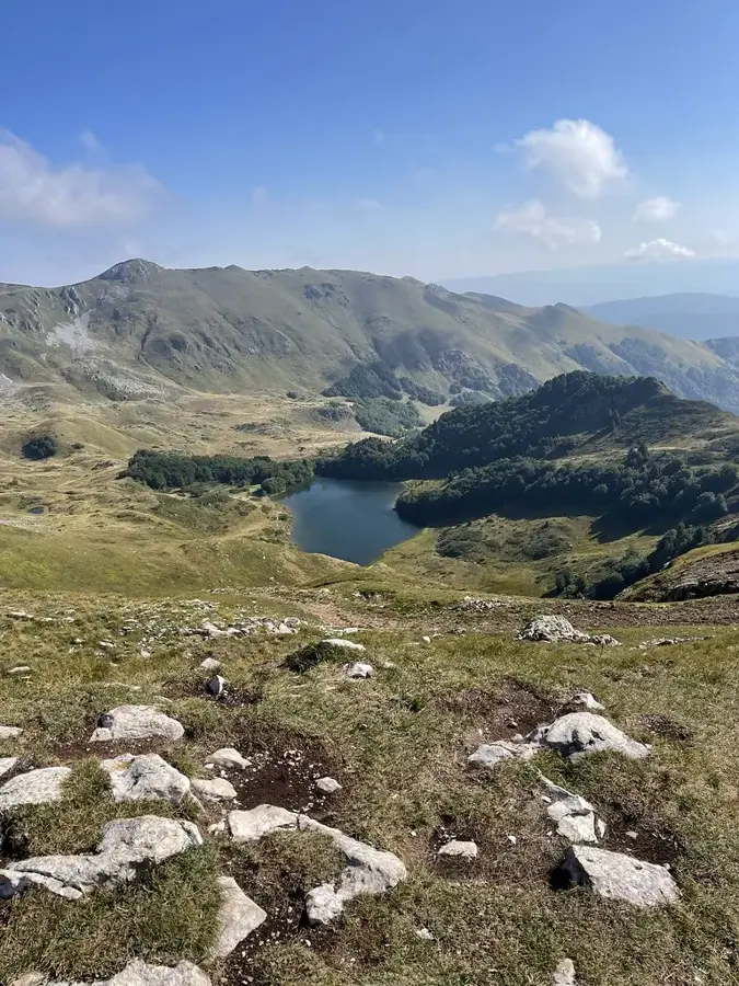
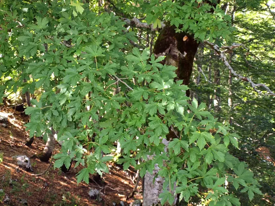
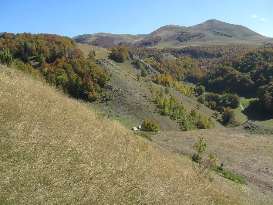
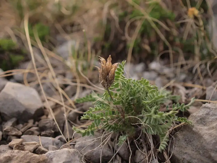
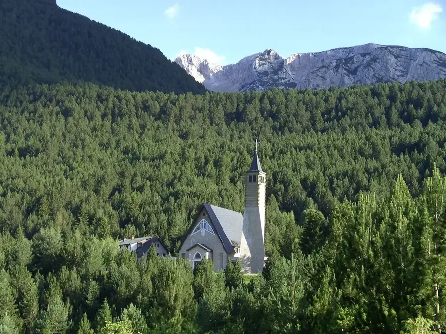
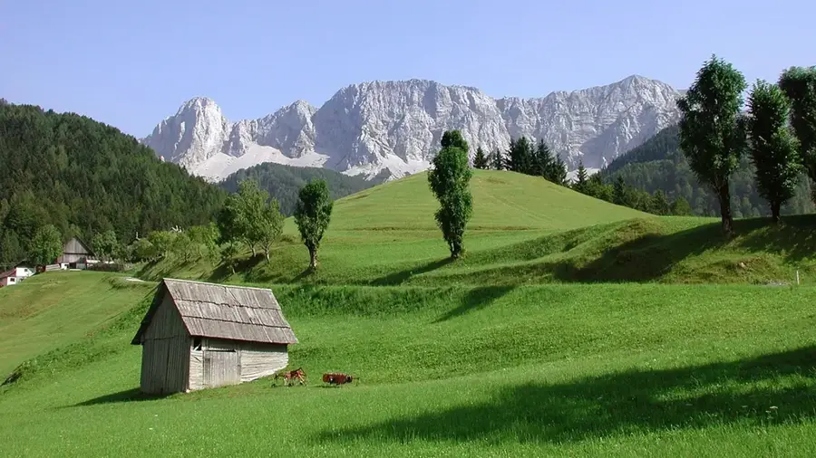
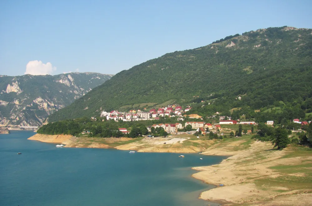
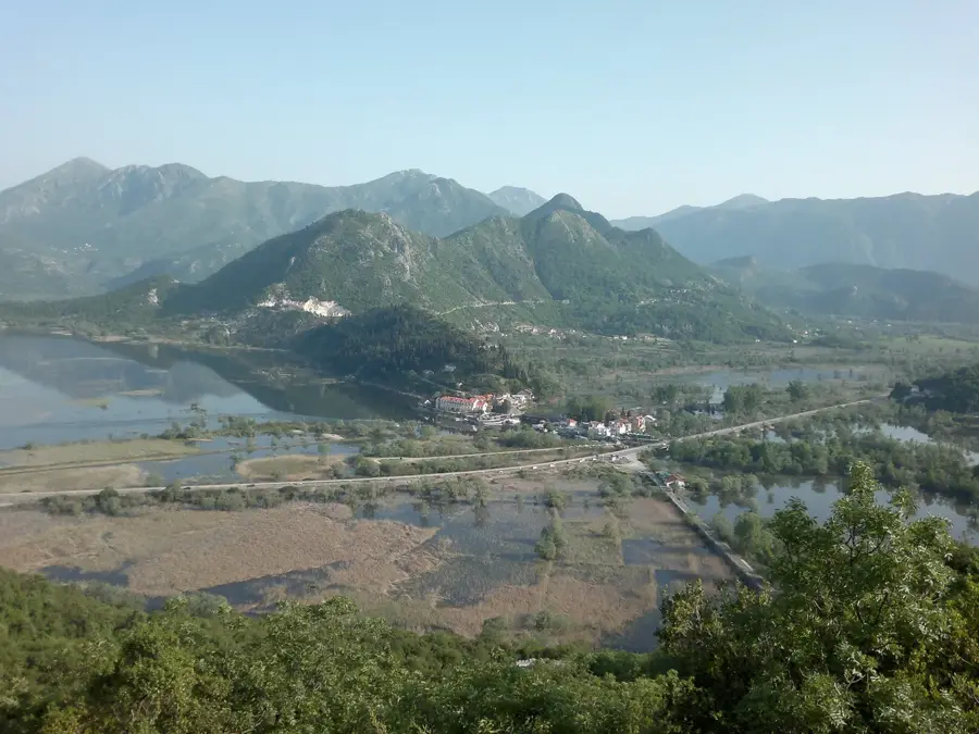
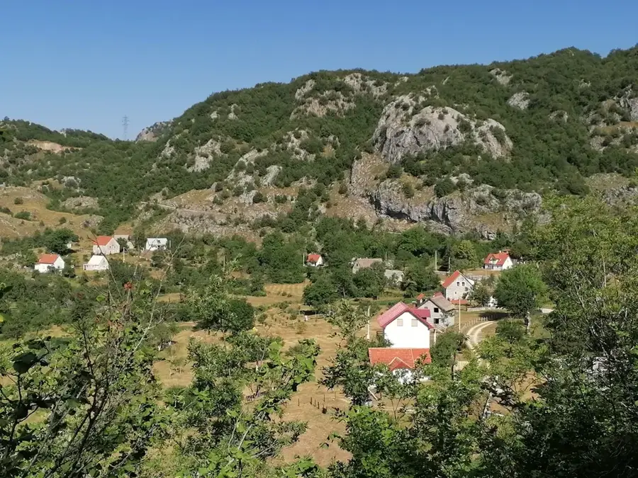
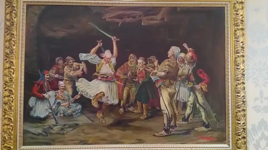
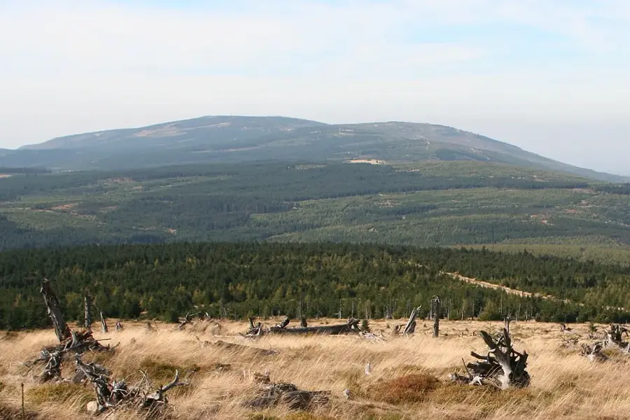
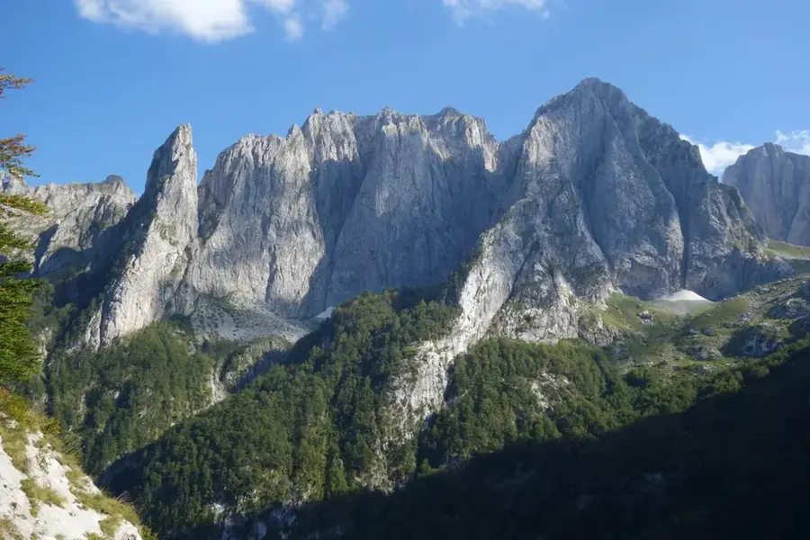
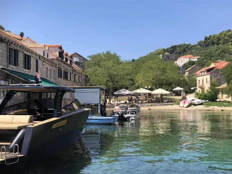
Visoki Vrh, literally translated as 'High Peak', is a prominent elevation in the Rumija mountain range, which stretches between Lake Skadar and the Adriatic coast in southern Montenegro. Its location provides one of the most spectacular contrasts in the country: views of the deep blue sea on one side and the vast waters of the Balkans' largest lake on the other. Geologically, Visoki Vrh consists mainly of Triassic limestone, shaped by heavy erosion and karstification over millions of years. Historically, the Rumija region has been a melting pot of cultures where Orthodox, Catholic, and Muslim traditions converged, a fact reflected in local legends associated with the peak. Climbing the summit is popular with hikers, as trails pass through Mediterranean maquis and later through barren rocky landscapes. Ecologically, the area is vital for birds of prey and rare reptile species that find convenient habitats in the sun-exposed limestone cliffs. Modern efforts focus on preserving the cultural landscape and promoting eco-friendly tourism in this historically rich border region.
- Location: Montenegro
- Top sights: Strmni pad · Kofiljača · Usovište
- Nearby: Biogradska Gora (12 km)
Best time to visit & climate
The most pleasant time to visit is Jun–Aug.
| Jan | Feb | Mar | Apr | May | Jun | Jul | Aug | Sep | Oct | Nov | Dec | |
|---|---|---|---|---|---|---|---|---|---|---|---|---|
| Avg °C | -4 | -3 | 1 | 6 | 10 | 14 | 17 | 17 | 12 | 8 | 3 | -2 |
| Rain mm | 114 | 109 | 110 | 87 | 95 | 92 | 64 | 56 | 97 | 114 | 146 | 129 |
📋 Practical info
Geography
Facts
- Highest point of the Rumija range at approximately 1594 meters.
- Provides a 360-degree panorama of the sea and Lake Skadar.
- Composed of carbonate rocks from the Alpine orogeny period.
- Famous for the traditional procession held on Pentecost Sunday.
- Home to rare orchid species and medicinal herbs.
- The region enjoys more than 240 sunny days per year.
Explore nearby
Notable places around
Route planner — Car & Motorhome
Where do you start? We build the route here, with stops and country notes along the way.
© OpenStreetMap contributors · OpenRouteService
Sights in the town Visoki Vrh (6)
Sights nearby
Frequently asked questions
What does Visoki Vrh mean?
How strenuous is the hike?
Do I need a guide for Visoki Vrh?
Is there mobile reception up there?
When does the snow disappear on Visoki Vrh?
Visoki Vrh: where is it located?
Visoki Vrh: what is there to see?
Visoki Vrh: when is the best time to visit?
Visoki Vrh: why is it worth visiting?

Nearby cities


History & landmarks

Nature


More places