Plizio Visual Lab
Vlahinja Peak
Weather…
Water temperature…
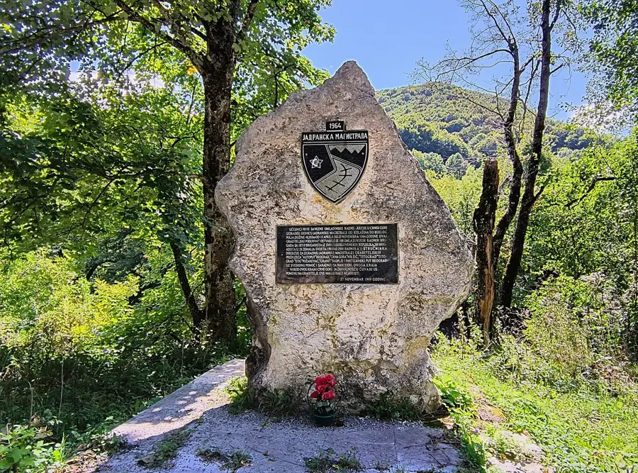
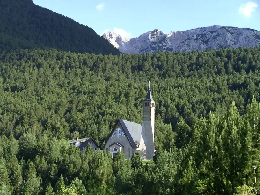
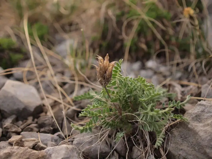
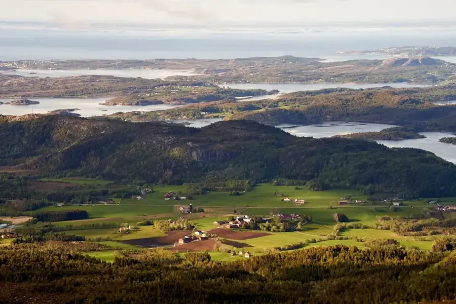
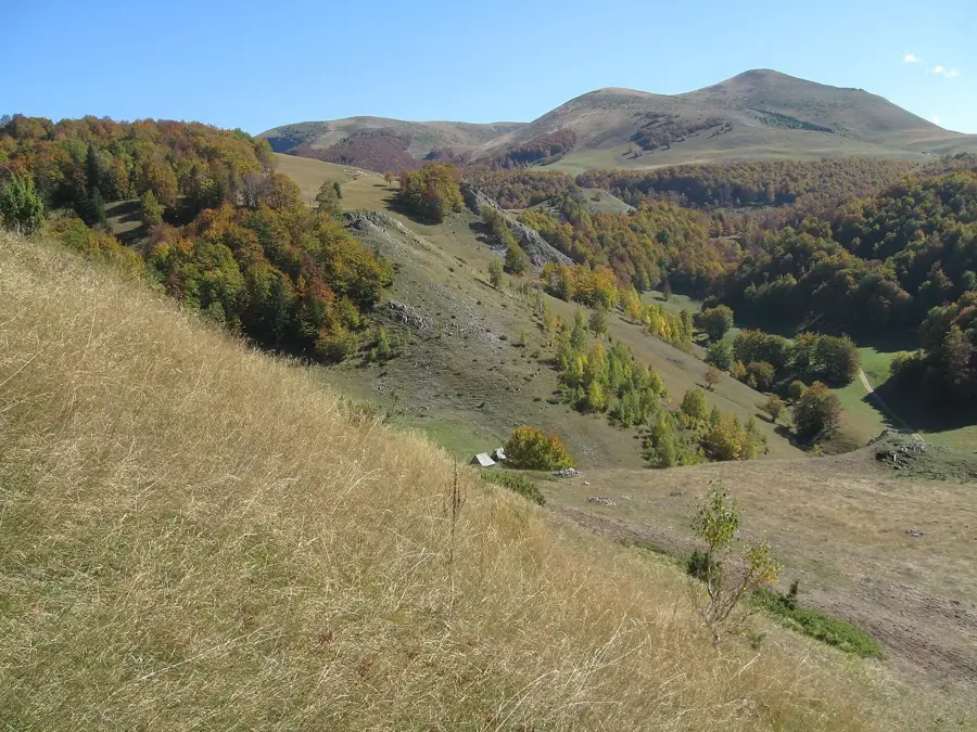
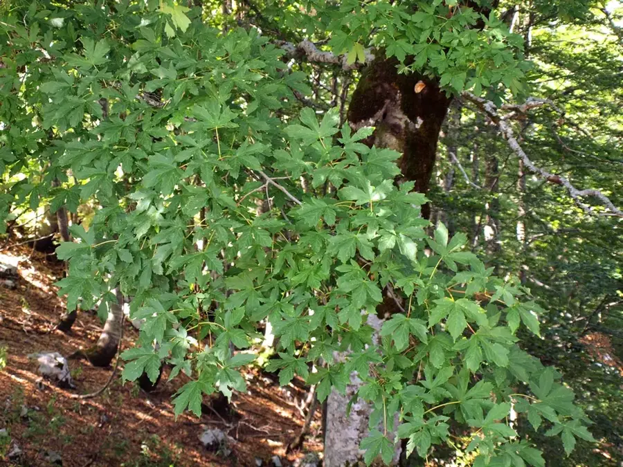
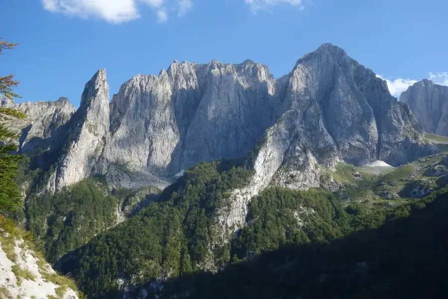
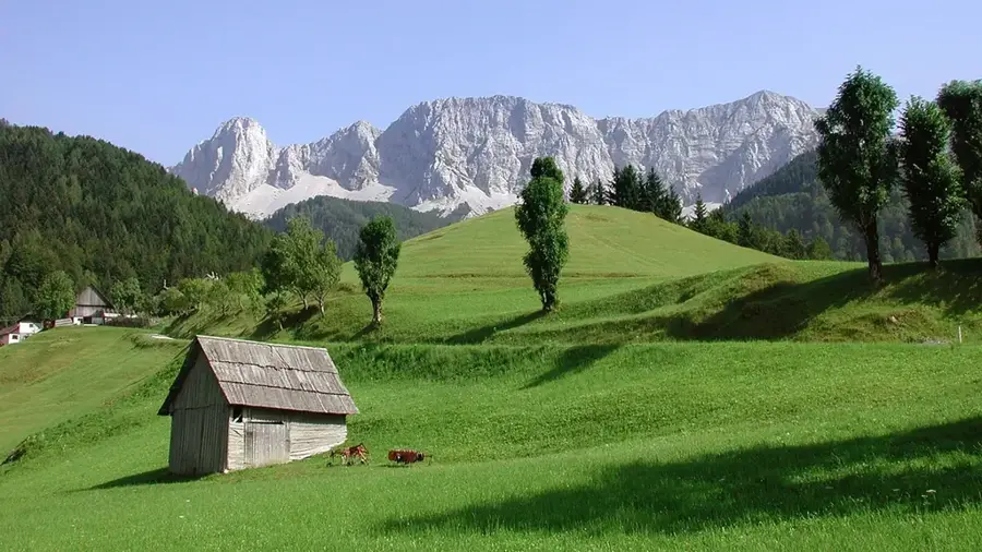
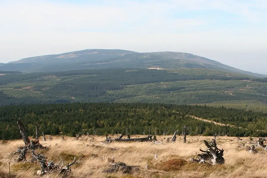
Vlahinja Peak, standing at an altitude of 2244 meters, is one of the most prominent elevations in the Durmitor National Park in northern Montenegro. Located in the western section of the massif, it is renowned for its imposing vertical rock face that towers over the Škrka Valley. Geologically, Vlahinja is composed of Mesozoic limestone and dolomite, similar to the rest of the Durmitor range, which allowed for the creation of complex cave systems and rugged peak formations. Historically, this part of the mountains served as a sanctuary for resistance fighters during various Balkan conflicts and marked the natural boundaries for summer grazing. The ascent to the summit is considered challenging by mountaineers, offering unparalleled views of the Veliko and Malo Škrčko glacial lakes. The area's ecological significance is high, as it hosts rare alpine flora such as the Durmitor forget-me-not. Vlahinja is an integral part of the UNESCO World Heritage site of Durmitor, attracting numerous visitors annually who seek the wild beauty of the high Alps.
- Location: Montenegro
- Top sights: Mali Prepran · Večerinovac · Topovi
- Nearby: Mojkovac (5 km)
Best time to visit & climate
The most pleasant time to visit is Jun–Aug.
| Jan | Feb | Mar | Apr | May | Jun | Jul | Aug | Sep | Oct | Nov | Dec | |
|---|---|---|---|---|---|---|---|---|---|---|---|---|
| Avg °C | -4 | -3 | 1 | 6 | 10 | 14 | 17 | 17 | 12 | 8 | 3 | -2 |
| Rain mm | 114 | 109 | 110 | 87 | 95 | 92 | 64 | 56 | 97 | 114 | 146 | 129 |
📋 Practical info
Geography
Facts
- Reaches an altitude of 2244 meters in the Durmitor massif.
- Dominates the landscape over the Škrka valley basin.
- Composed of massive Triassic and Jurassic limestone layers.
- Included in the UNESCO World Heritage list since 1980.
- Habitat for rare bird species such as the golden eagle.
- Provides views of two glacial lakes known as Škrčka jezera.
Explore nearby
Notable places around
Route planner — Car & Motorhome
Where do you start? We build the route here, with stops and country notes along the way.
© OpenStreetMap contributors · OpenRouteService
Sights in the town Vlahinja Peak (3)
Topovi
Topovi is a mountain peak in Montenegro, a destination for hikers.
Sights nearby
Frequently asked questions
How high is Vlahinja Peak?
Is the climb dangerous?
Are there marked trails?
What can you see from the summit?
Are there water sources on the way?
Vlahinja Peak: where is it located?
Vlahinja Peak: what is there to see?
Vlahinja Peak: when is the best time to visit?
Vlahinja Peak: why is it worth visiting?

Nearby cities


History & landmarks

Nature


More places