Plizio Visual Lab
Stog Peak
Weather…
Water temperature…
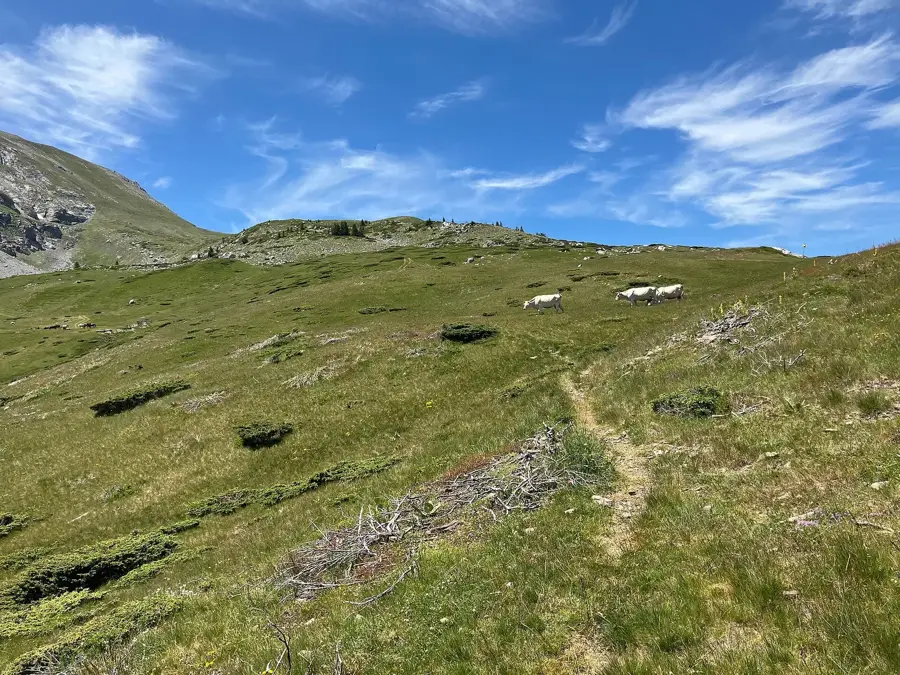
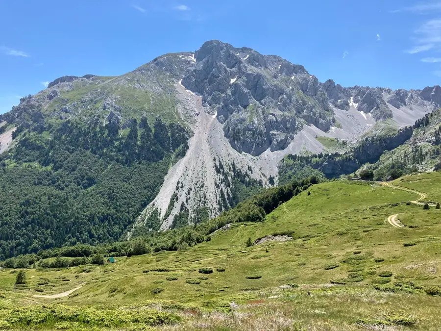
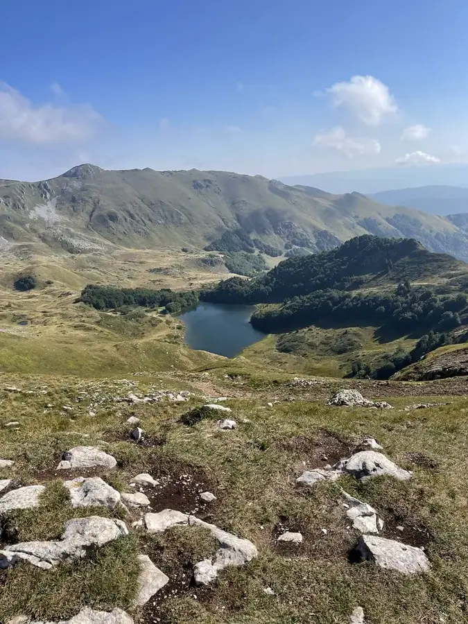
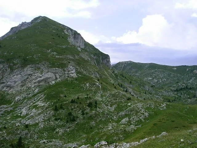
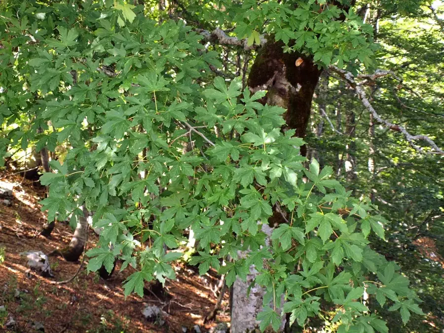
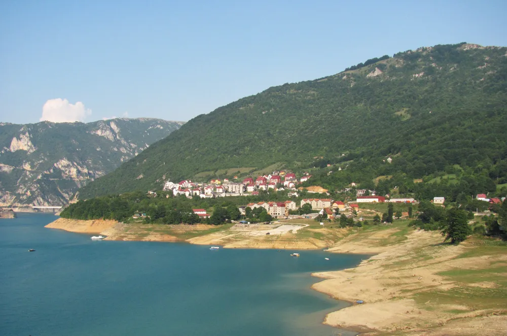
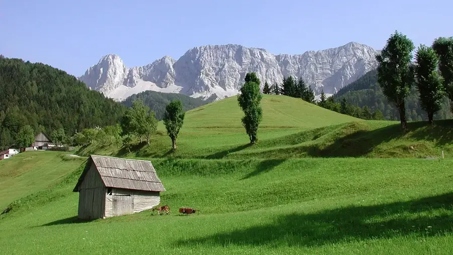
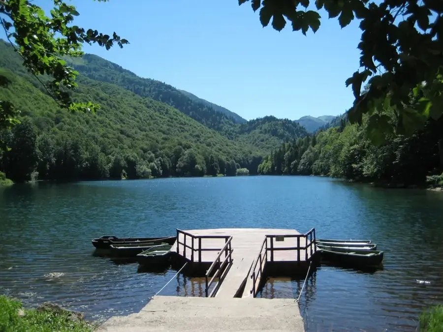
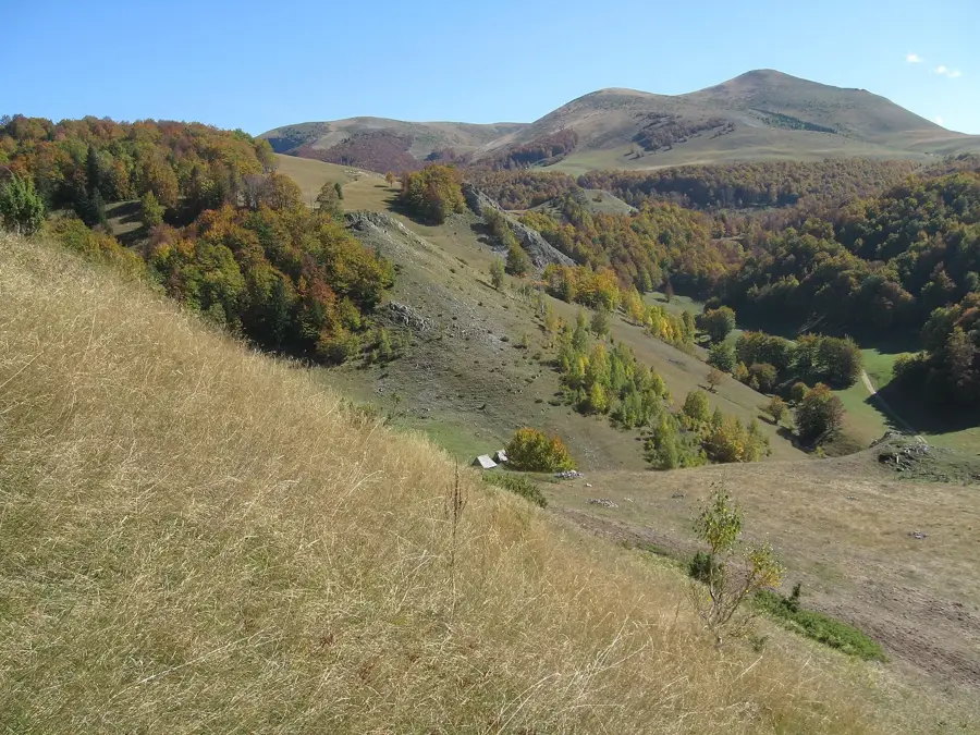
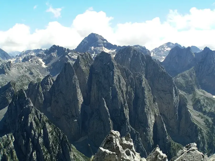
Stog Peak is a significant summit in the Bjelasica mountains of northeastern Montenegro, reaching an elevation of 1,908 meters. Its shape resembles a haystack, which earned it the name "Stog" in the local dialect. The peak is part of the volcanic massif of Bjelasica, distinguished by its soft curves and lack of the sharp edges typical of karst regions. Geologically, the area is rich in springs and has fertile soil that supports a dense grass cover even at high altitudes. Historically, Stog served as an important landmark for shepherds driving their flocks to the high-altitude pastures. From the summit, one can enjoy splendid views of the Prokletije and Komovi peaks, as well as Biogradska Gora National Park. In winter months, the mountain is often covered in deep snow, making it a destination for ski tourers, while in summer it is visited by hikers utilizing well-marked trails. The area's ecological importance lies in its variety of endemic plant species that thrive on the nutrient-rich volcanic substrate.
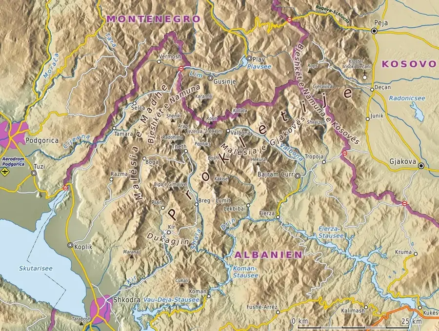
- Location: Montenegro
- Top sights: Trešnjevik · Prevoj Trešnjevik · Stražarica
- Nearby: Andrijevica Agricultural Center (8 km)
Best time to visit & climate
The most pleasant time to visit is Jun–Aug.
| Jan | Feb | Mar | Apr | May | Jun | Jul | Aug | Sep | Oct | Nov | Dec | |
|---|---|---|---|---|---|---|---|---|---|---|---|---|
| Avg °C | -1 | 1 | 4 | 8 | 13 | 17 | 21 | 21 | 16 | 11 | 6 | 1 |
| Rain mm | 154 | 148 | 141 | 103 | 92 | 70 | 44 | 44 | 113 | 140 | 194 | 177 |
📋 Practical info
Geography
Facts
- Stog Peak reaches an elevation of 1,908 meters above sea level.
- The name 'Stog' translates to 'haystack' in the local dialect.
- It belongs to the Bjelasica massif, known for its volcanic geology.
- The Komovi and Prokletije mountain ranges are visible from the summit.
- The flora includes rare alpine species thriving on volcanic soil.
- Several traditional shepherd huts (katuni) are located in the vicinity.
Explore nearby
Notable places around
Route planner — Car & Motorhome
Where do you start? We build the route here, with stops and country notes along the way.
© OpenStreetMap contributors · OpenRouteService
Sights in the town Stog Peak (4)
Umsko brdo
Umsko brdo is a mountain in Montenegro.
Sights nearby
Frequently asked questions
How do you reach Stog Peak?
Is Stog Peak suitable for children?
Is there shade up there?
What is special about Stog Peak?
What is the weather risk?
Stog Peak: where is it located?
Stog Peak: what is there to see?
Stog Peak: when is the best time to visit?
Stog Peak: why is it worth visiting?

Nearby cities


History & landmarks

Nature

More places