Plizio Visual Lab
Vlahinja Ridge
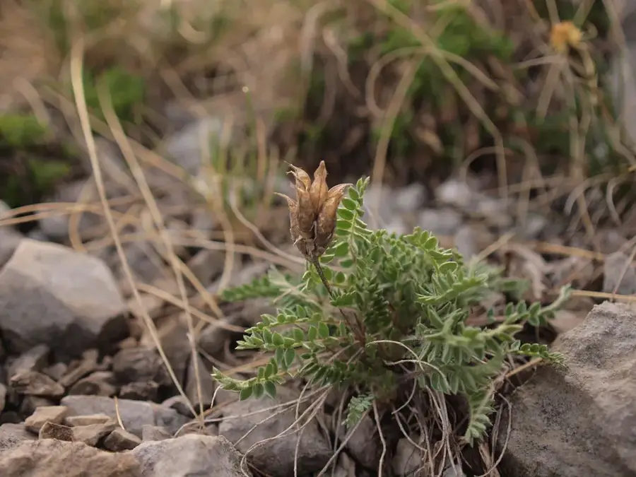
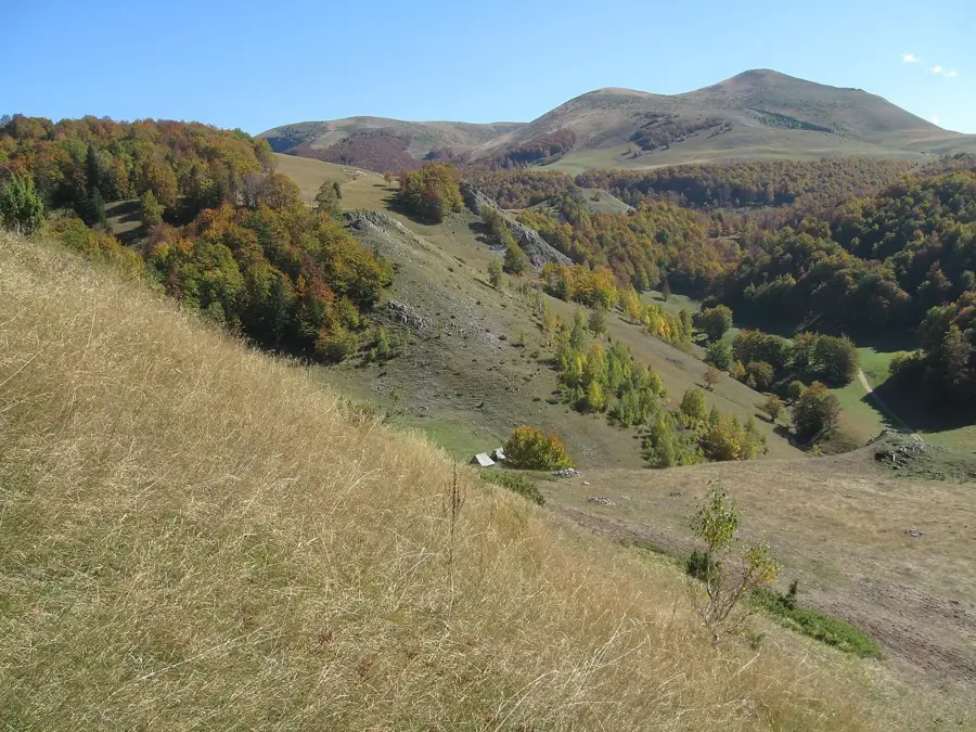
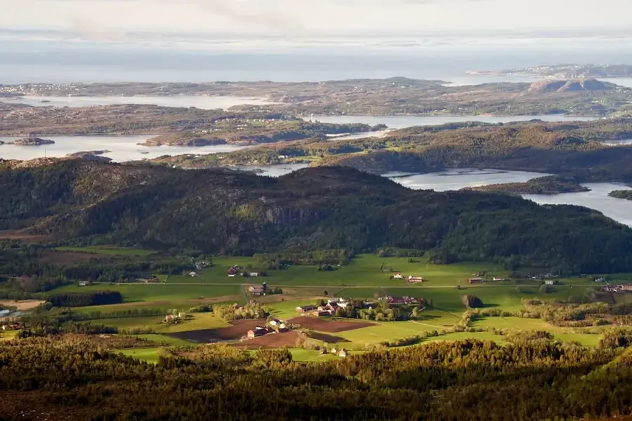
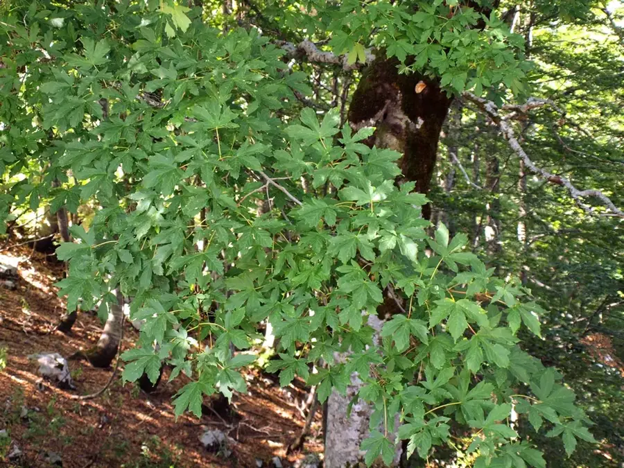
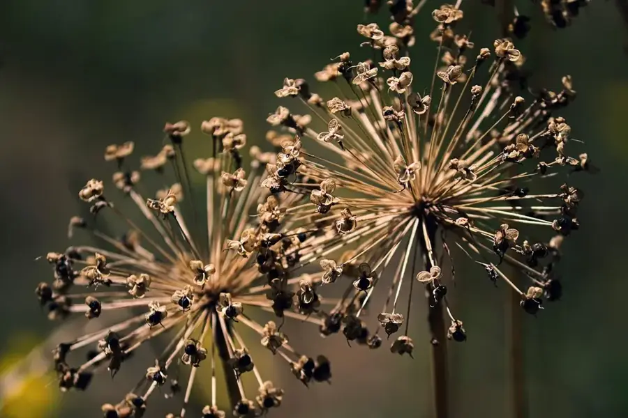
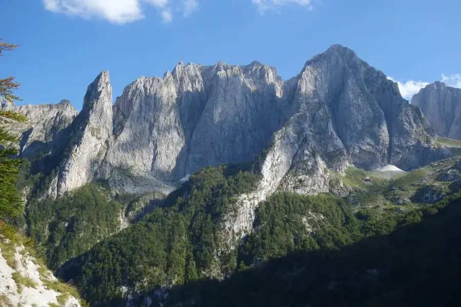
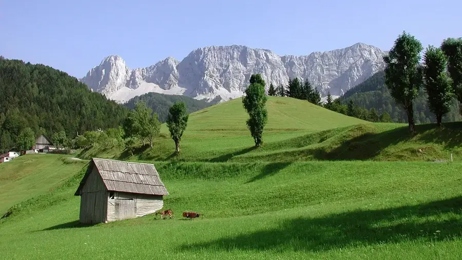
The Vlahinja Ridge is a prominent component of the Sinjajevina massif in northern Montenegro, belonging to the expansive highland areas of this region. It is characterized by an undulating karst topography created through the dissolution of limestone over millions of years. Geologically, the area is a classic example of a karst plateau where surface water drains rapidly into underground systems, resulting in a rather arid surface landscape. Historically, the Vlahinja Ridge was a center for traditional sheep farming, with the name "Vlahinja" often associated with Vlach shepherds who used these areas since the Middle Ages. Vegetation consists predominantly of resistant alpine grasses that serve as a valuable food source for livestock. From the ridge, one can enjoy expansive views across the plateau toward the Morača mountains. In modern times, the area is known for its ecological value, providing habitat for rare birds of prey and alpine flora. Hikers appreciate the solitude and vast horizons so typical of the Sinjajevina highlands.
- Location: Montenegro
- Top sights: Mali Prepran · Topovi · Večerinovac
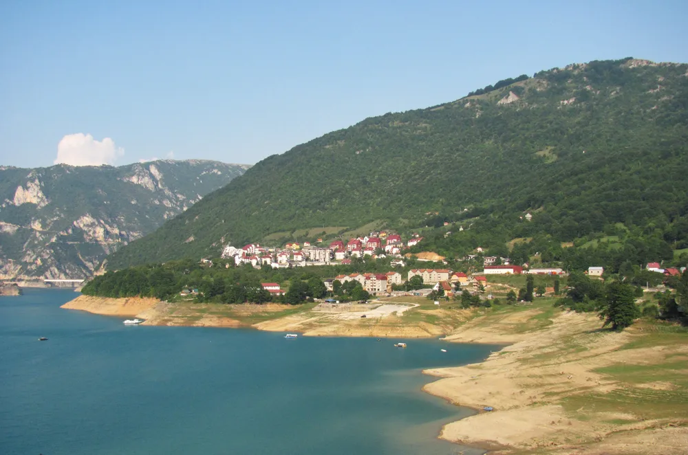
- Nearby: Biogradska Gora (5 km)
Best time to visit & climate
The most pleasant time to visit is Jun–Aug.
| Jan | Feb | Mar | Apr | May | Jun | Jul | Aug | Sep | Oct | Nov | Dec | |
|---|---|---|---|---|---|---|---|---|---|---|---|---|
| Avg °C | -4 | -3 | 1 | 6 | 10 | 14 | 17 | 17 | 12 | 8 | 3 | -2 |
| Rain mm | 114 | 109 | 110 | 87 | 95 | 92 | 64 | 56 | 97 | 114 | 146 | 129 |
📋 Practical info
Geography
Facts
- Vlahinja Ridge is situated on the Sinjajevina highlands at about 1,700 to 1,900 meters.
- The region has the largest mountain pasture area in Montenegro.
- The name 'Vlahinja' refers to the historical presence of Vlach shepherds.
- Geologically, sinkholes and other exokarstic forms dominate the landscape.
- The area is a key part of the planned Sinjajevina Regional Nature Park.
- In winter, the ridge is often buried under a thick snow cover for months.
Explore nearby
Notable places around
Route planner — Car & Motorhome
Where do you start? We build the route here, with stops and country notes along the way.
© OpenStreetMap contributors · OpenRouteService
Sights in the town Vlahinja Ridge (3)
Večerinovac
Večerinovac is a mountain in Montenegro.
Sights nearby
Frequently asked questions
Where is the Vlahinja ridge located?
How high is the highest point?
Is the hike dangerous?
Can you see wild animals?
Are there marked trails there?
Vlahinja Ridge: where is it located?
Vlahinja Ridge: what is there to see?
Vlahinja Ridge: when is the best time to visit?
Vlahinja Ridge: why is it worth visiting?

Nearby cities


History & landmarks

Nature


More places