Plizio Visual Lab
Ratak Chain

Weather…
Water temperature…
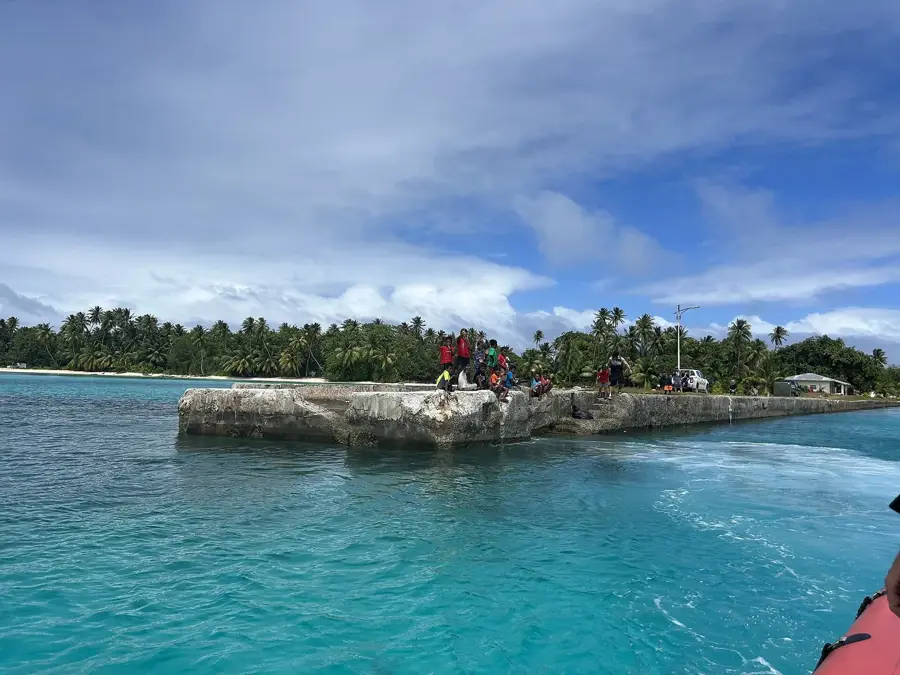
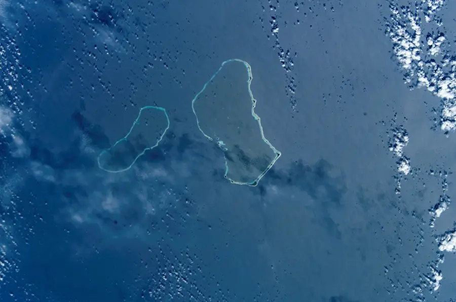
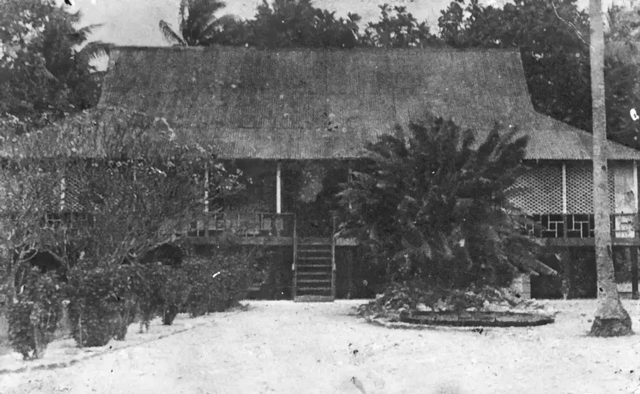
The Ratak Chain, or the 'Sunrise Chain,' constitutes the eastern wing of the Marshall Islands, comprising 14 atolls and two coral islands. This string of landforms sits atop a massive submarine volcanic ridge that has been slowly capped by coral growth over millions of years. Ratak is home to the national capital, Majuro, making it the most populous and politically significant part of the archipelago. The atolls here, such as Arno, Maloelap, and Mili, are characterized by their wide-open lagoons and narrow strips of land that are often just a few meters above sea level. Historically, the people of the Ratak Chain were master navigators, using sophisticated understanding of wave refraction and star positions to travel between islands in outrigger canoes. Today, the chain attracts travelers looking for world-class diving, historic World War II wreck sites, and a chance to experience the traditional Marshallese way of life. The contrast between the deep blue of the Pacific and the bright turquoise of the inner lagoons creates some of the most remarkable aerial and coastal views in Micronesia.
- Location: Marshall Islands
- Nearby: Mejit (34 km)
Best time to visit & climate
The most pleasant time to visit is Jan–Mar.
| Jan | Feb | Mar | Apr | May | Jun | Jul | Aug | Sep | Oct | Nov | Dec | |
|---|---|---|---|---|---|---|---|---|---|---|---|---|
| Avg °C | 27 | 27 | 27 | 28 | 28 | 28 | 28 | 28 | 28 | 28 | 28 | 28 |
| Rain mm | 46 | 40 | 66 | 85 | 87 | 110 | 137 | 157 | 157 | 197 | 160 | 76 |
📋 Practical info
Geography
Facts
- chain length: approx. 1,300 km
- number of atolls: 16
- isolated islands: 2
- highest point: below 5 m
- capital: Majuro
- eastern chain
Explore nearby
Notable places around
Route planner — Car & Motorhome
Where do you start? We build the route here, with stops and country notes along the way.
© OpenStreetMap contributors · OpenRouteService
Sights nearby
Frequently asked questions
What is the Ratak Chain?
What does Ratak mean?
Are there many islands here?
Is this chain developed for tourism?
What is the highlight?
Ratak Chain: where is it located?
Ratak Chain: when is the best time to visit?
Ratak Chain: why is it worth visiting?

Nearby cities


History & landmarks
Nature


More places