Plizio Visual Lab
Laura Mangrove Forest
Weather…
Water temperature…
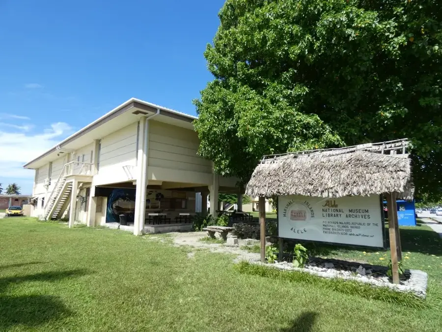
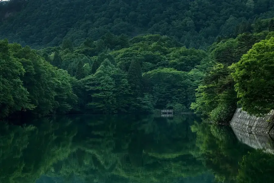
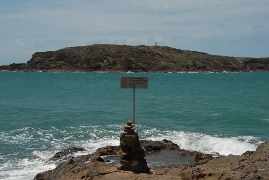
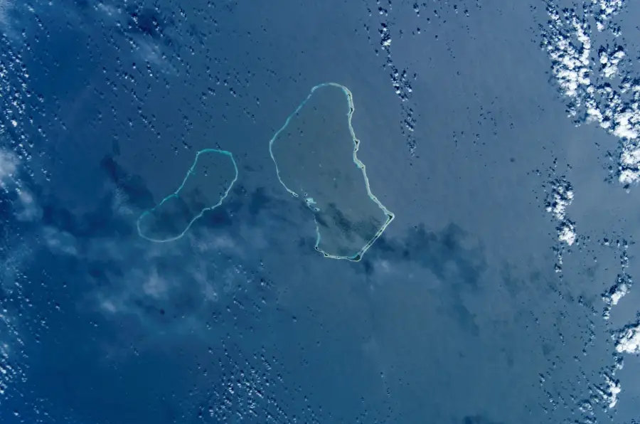
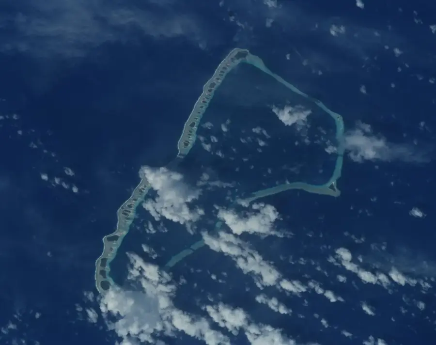
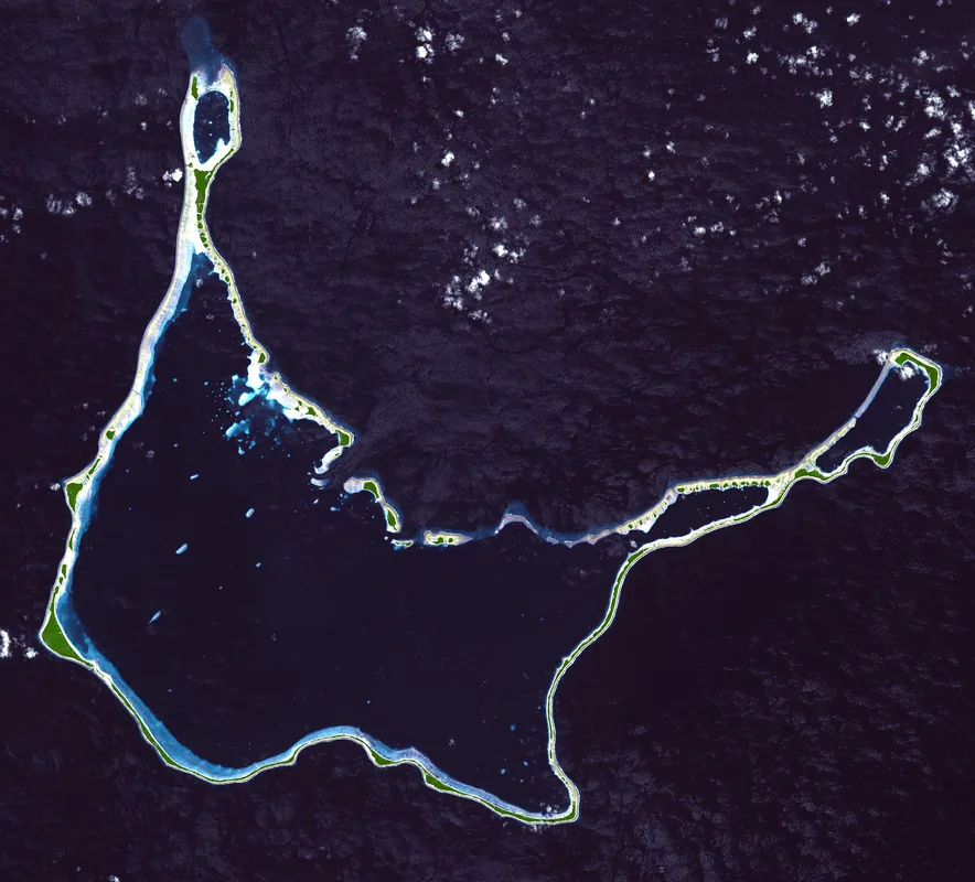
The Laura Mangrove Forest is located on the western tip of Majuro Atoll and is one of the rare terrestrial mangrove ecosystems in the Marshall Islands. Unlike typical mangroves that line the coast, these trees grow inland in a swampy depression supported by the island's freshwater lens. This area has significant biodiversity, including rare orchid species and the Bruguiera gymnorhiza mangrove trees. The forest provides critical protection against coastal erosion and serves as an important habitat for various species of land crabs. Visitors can experience the original, lush vegetation of the atoll as it appeared before large-scale agricultural clearing. Laura is also known as the 'breadbasket' of Majuro, where the fertile soil supports the majority of the atoll's local fruit and vegetable production.
- Location: Marshall Islands
- Nearby: Ajeltake (14 km)
Best time to visit & climate
The most pleasant time to visit is Jan–Mar.
| Jan | Feb | Mar | Apr | May | Jun | Jul | Aug | Sep | Oct | Nov | Dec | |
|---|---|---|---|---|---|---|---|---|---|---|---|---|
| Avg °C | 28 | 28 | 28 | 28 | 28 | 28 | 28 | 28 | 28 | 28 | 28 | 28 |
| Rain mm | 161 | 137 | 162 | 227 | 211 | 223 | 252 | 234 | 260 | 276 | 267 | 224 |
📋 Practical info
Geography
Facts
- Forest span: 2.5 square kilometers.
- Dominant tree species: Rhizophora stylosa and Bruguiera gymnorrhiza.
- Maximum canopy height: 12 meters.
- Carbon sequestration: 1,200 tonnes per year.
- Protected area established: 2010.
- Intertidal range: 1.5 meters.
Explore nearby
Notable places around
Route planner — Car & Motorhome
Where do you start? We build the route here, with stops and country notes along the way.
© OpenStreetMap contributors · OpenRouteService
Sights in the town Laura Mangrove Forest (1)
Sights nearby
Frequently asked questions
What are Laura mangroves?
Can you walk through?
Are there many mosquitoes?
What can you see?
Is access free?
Laura Mangrove Forest: where is it located?
Laura Mangrove Forest: when is the best time to visit?
Laura Mangrove Forest: why is it worth visiting?

Nearby cities


History & landmarks


Nature


More places