Plizio Visual Lab
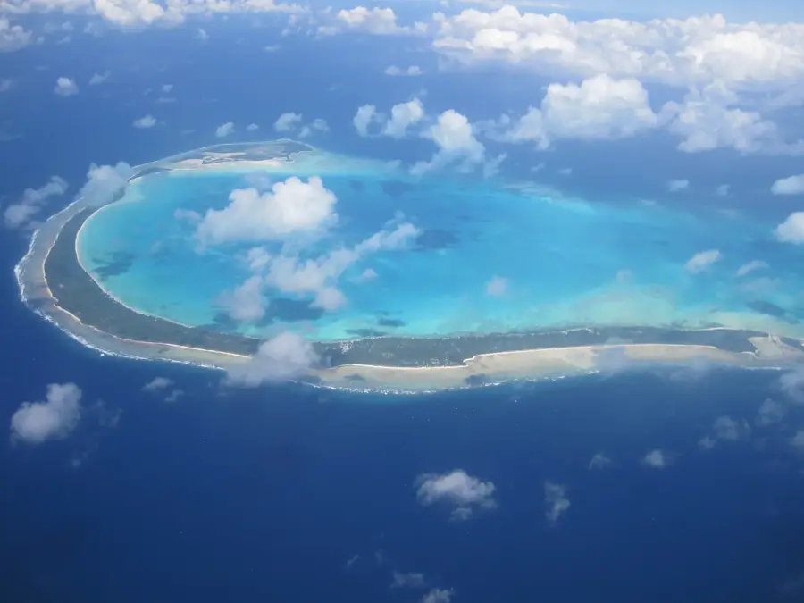
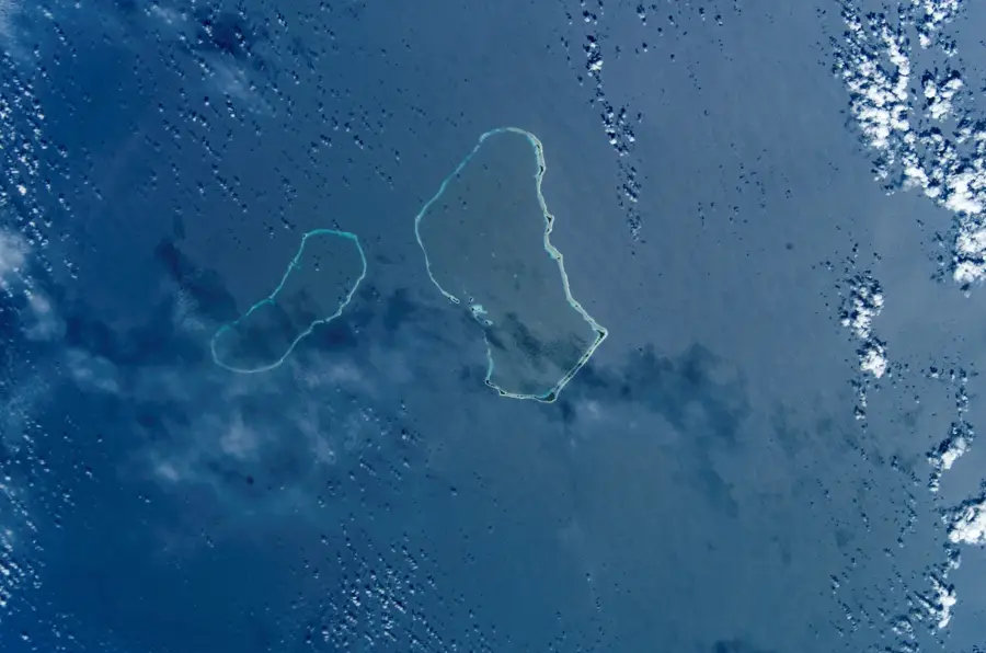
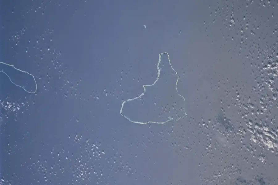
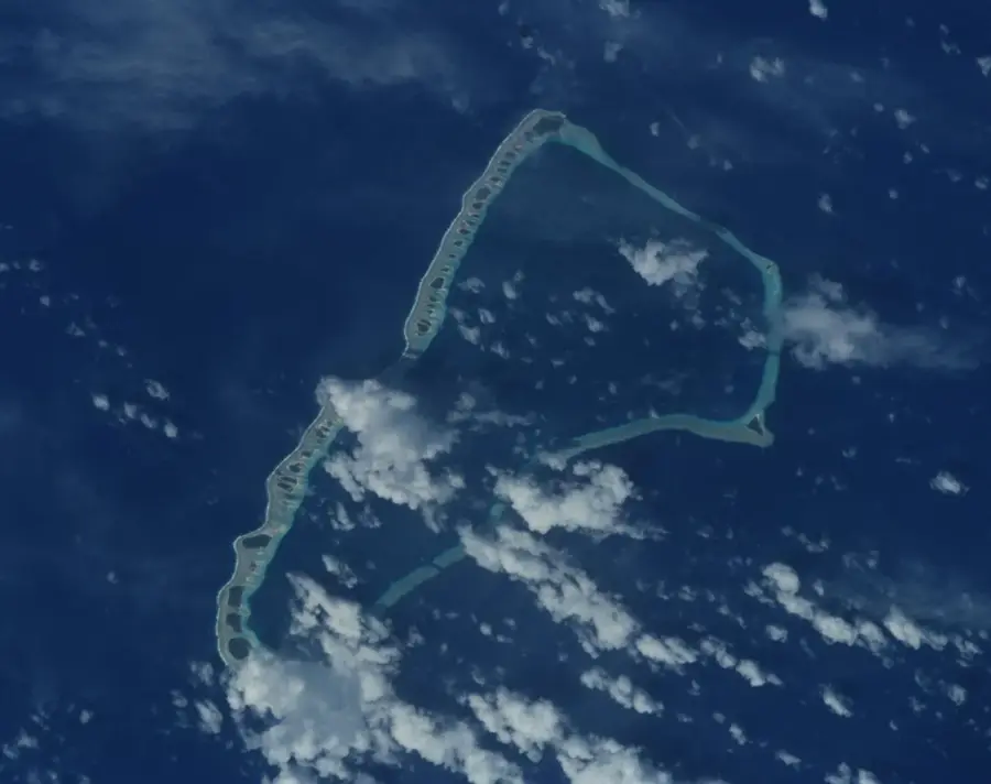
Namorik Atoll

Weather…
Water temperature…
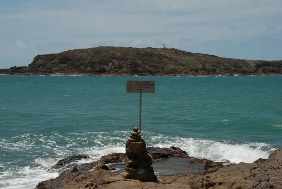
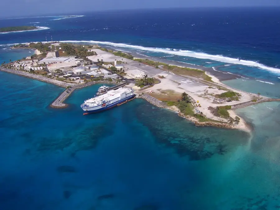
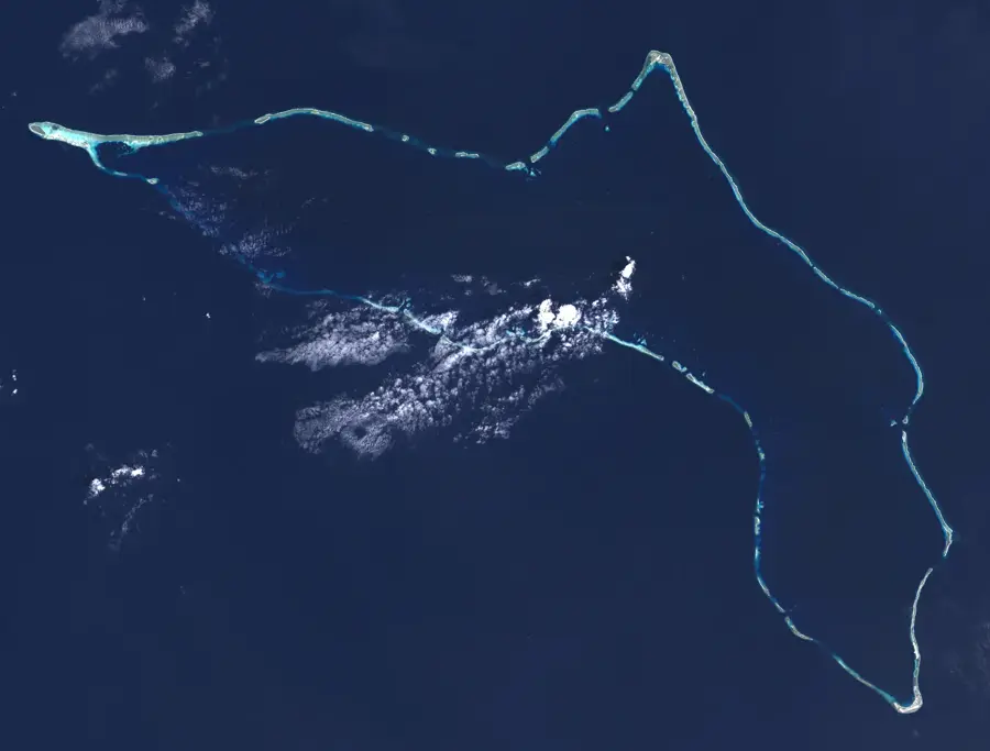
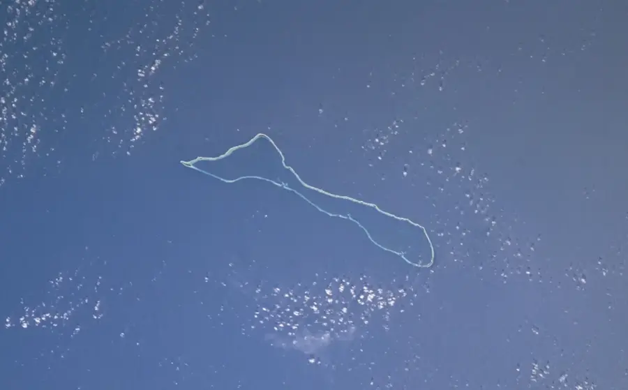
Namorik Atoll is a distinctive coral formation within the Marshall Islands, characterized by its nearly complete enclosure of a central lagoon. The two primary islands create a natural barrier that isolates the 8-square-kilometer lagoon from the open Pacific Ocean, preventing the entry of deep-draft vessels due to the lack of navigable passages. This isolation has fostered a unique marine ecosystem where coral reefs remain largely undisturbed, serving as a vital sanctuary for diverse reef fish species. The total land area of just 2.8 square kilometers supports a small population that maintains a traditional lifestyle centered on subsistence fishing and copra production. For visitors, Namorik represents one of the most remote and pristine environments in Micronesia, offering a glimpse into an ancient way of life where the environment dictates the daily routine.
Best time to visit & climate
The most pleasant time to visit is Feb, Aug, Oct.
| Jan | Feb | Mar | Apr | May | Jun | Jul | Aug | Sep | Oct | Nov | Dec | |
|---|---|---|---|---|---|---|---|---|---|---|---|---|
| Avg °C | 28 | 28 | 28 | 28 | 28 | 28 | 28 | 28 | 28 | 28 | 28 | 28 |
| Rain mm | 261 | 195 | 234 | 299 | 276 | 242 | 262 | 207 | 227 | 206 | 230 | 268 |
📋 Practical info
Geography
Facts
- land area: 0.9 km²
- lagoon area: 16 km²
- maximum lagoon depth: 50 m
- population: approx. 500
- number of main islands: 4
- atoll length: approx. 10 km
Route planner — Car & Motorhome
Where do you start? We build the route here, with stops and country notes along the way.
© OpenStreetMap contributors · OpenRouteService
Sights nearby
Frequently asked questions
What is special about Namorik?
Is it suitable for diving?
How should you behave here?
Are there dangerous currents?
When is the best time to travel?
Namorik Atoll: where is it located?
Namorik Atoll: when is the best time to visit?
Namorik Atoll: why is it worth visiting?

Nearby cities


History & landmarks


Nature


More places