Plizio Visual Lab
Vangaindrano
ℹ️Practical info — Vangaindrano
▾
🌤 Weather — 5 days
📍 Nearby
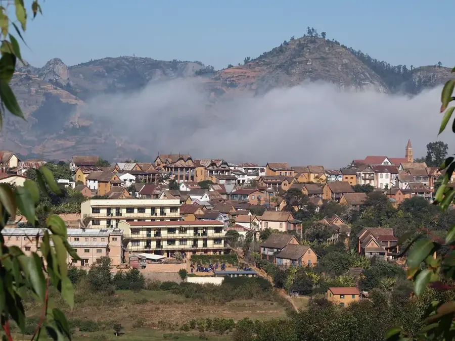
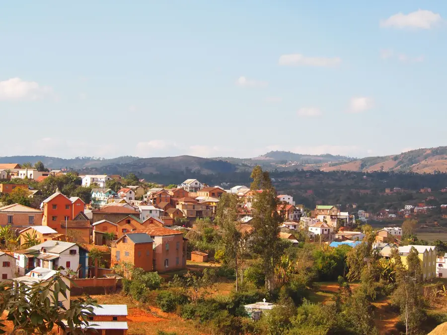
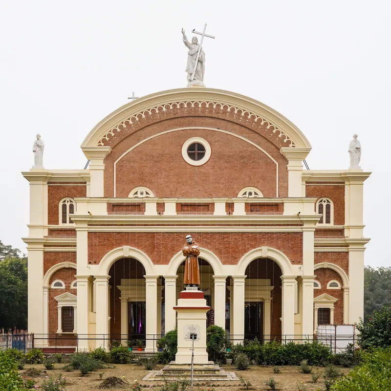
Sights nearby
💡 Tips
- Hiring a local guide is highly recommended, as English is rarely spoken here.
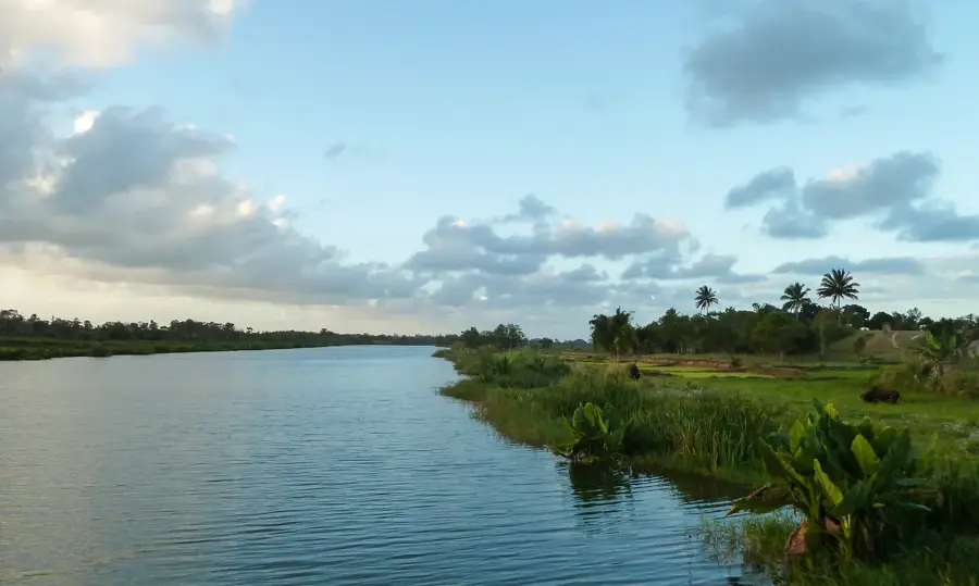
- Be aware of local river fady (taboos) before getting near the Mananara river water.
- Change money in bigger cities before arriving, as banking facilities are limited.
- The early morning market is the best place to experience the local culture.
- Roads from the north can be very rough, prepare for a bumpy ride.
🍽 Food
Try the local catch from the Mananara river at small eateries.
A sweet, round pancake first-rate with morning coffee.
Buy various sweet and unique types from the market.
🛍 Shopping · 🧘 Quiet spots
Practical and culturally significant items made by local women.
Fresh and organic local vegetables directly from the farmers.
Find a quiet, safe spot just to observe the water flow.
Walk gently out of town to enjoy the serene countryside.
Water temperature…
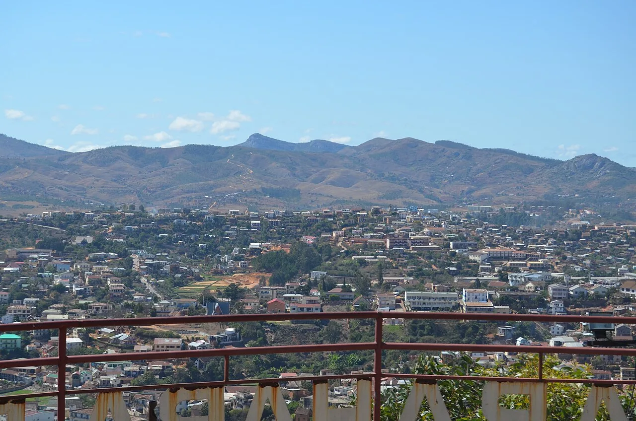
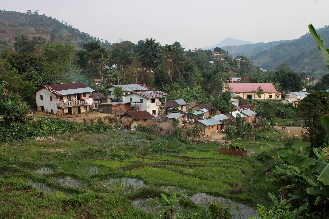
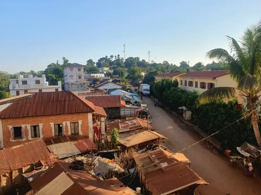
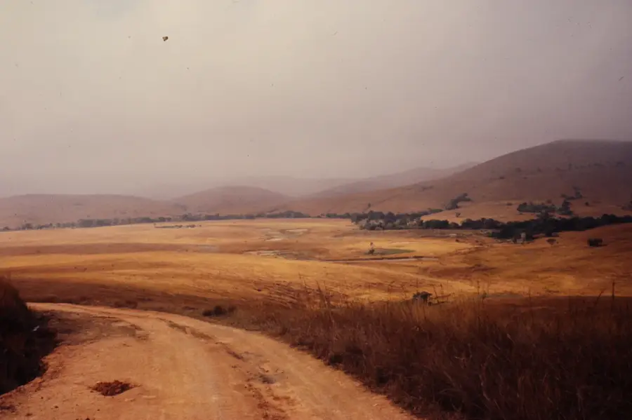
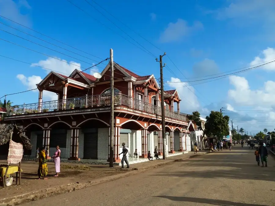
Vangaindrano is located in southeastern Madagascar within the Atsimo-Atsinanana region, positioned near the mouth of the Manampatrana River. The town serves as the southern terminus of the National Road 12 (RN12), making it a remote but vital commercial gateway for the southeastern coast. The local economy is heavily dependent on agriculture, particularly the cultivation of coffee, cloves, and pepper facilitated by the humid tropical climate. Historically, the area is the heartland of the Antefasy people, whose unique cultural traditions and social hierarchies continue to influence the region today. The surrounding landscape is characterized by vast river deltas and the remnants of eastern rainforests, providing habitats for various endemic species. Despite the challenges posed by difficult road access, especially during the rainy season, Vangaindrano remains a crucial collection point for agricultural goods. The town's lively markets are the focal point of social and economic life, drawing people from across the surrounding rural districts.
- Location: Madagascar
- Nearby: Farafangana (48 km)
- Population: ~40.813 (2023)
Best time to visit & climate
The most pleasant time to visit is Jun, Aug, Sep.
| Jan | Feb | Mar | Apr | May | Jun | Jul | Aug | Sep | Oct | Nov | Dec | |
|---|---|---|---|---|---|---|---|---|---|---|---|---|
| Avg °C | 25 | 25 | 25 | 24 | 22 | 20 | 20 | 20 | 21 | 23 | 24 | 25 |
| Rain mm | 316 | 274 | 273 | 177 | 132 | 97 | 91 | 67 | 56 | 100 | 163 | 249 |
Geography
Facts
- Southern terminus of the National Road 12 (RN12)
- Situated on the banks of the Manampatrana River
- Traditional capital and heartland of the Antefasy people
- Key economic hub for the export of coffee and cloves
- Located approximately 800 km from Antananarivo
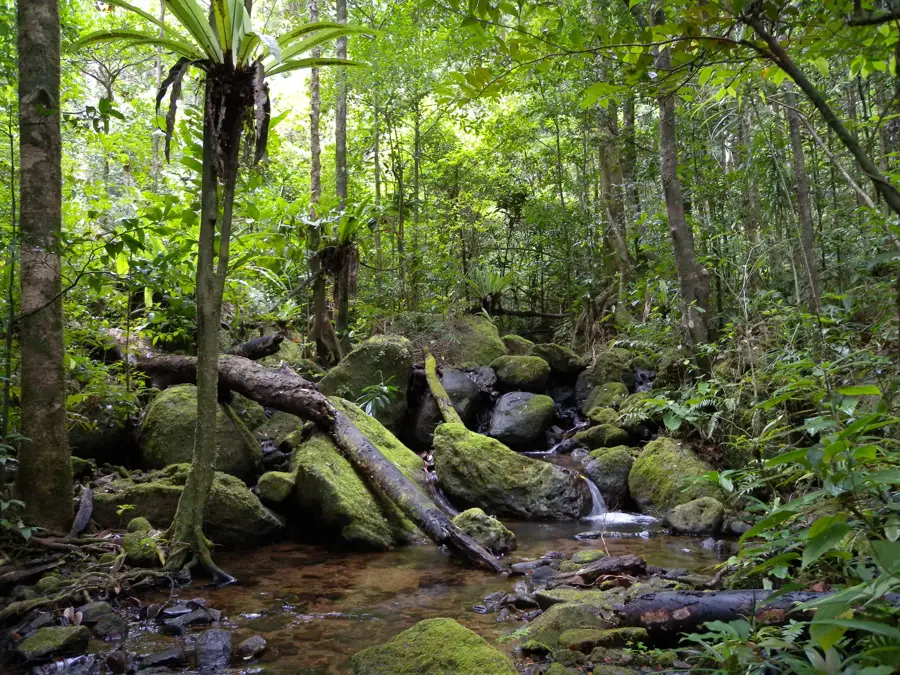
- Proximity to Midongy du Sud National Park rainforests
Explore nearby
Notable places around
Route planner — Car & Motorhome
Where do you start? We build the route here, with stops and country notes along the way.
© OpenStreetMap contributors · OpenRouteService
Sights in the town Vangaindrano (1)
Frequently asked questions
How many days for Vangaindrano?
When is the best time to visit?
How to get there?
Gastronomy?
Family-friendly?
Vangaindrano: where is it located?
Vangaindrano: when is the best time to visit?
Vangaindrano: why is it worth visiting?

Nearby cities
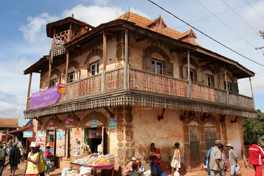
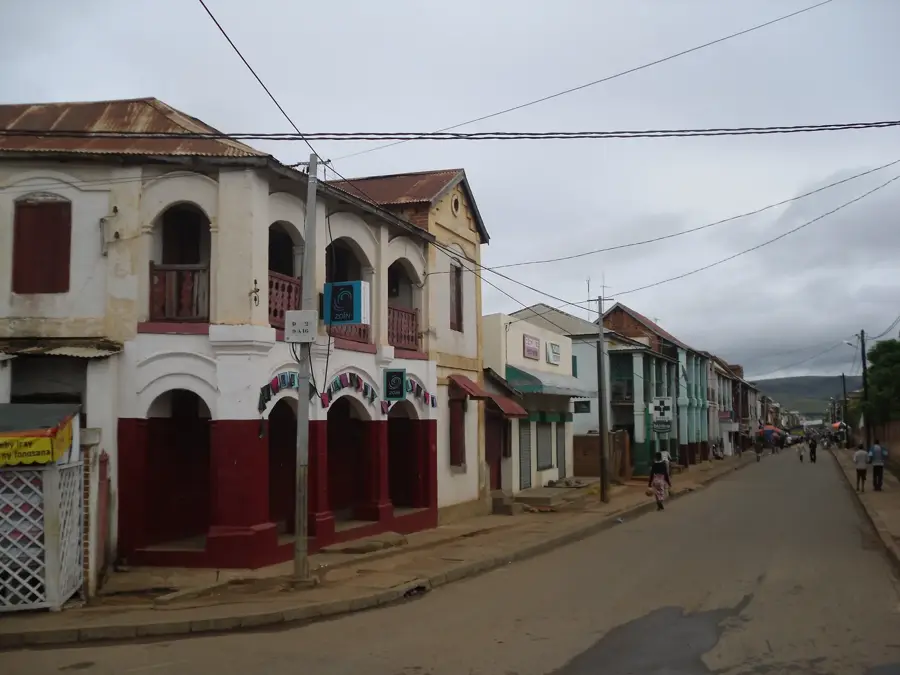


History & landmarks
More places