Plizio Visual Lab
Nosy Varika
ℹ️Practical info — Nosy Varika
▾
🌤 Weather — 5 days
📍 Nearby
Sights nearby
💡 Tips
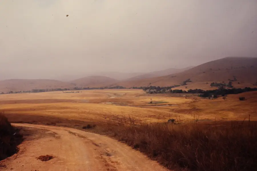
- Access is challenging, often requiring a boat trip on the Pangalanes Canal or a tough drive. Prepare for a rugged journey.
- Bring all the cash you will need; banking infrastructure is extremely limited.
- Embrace the slow pace. Electricity is often only available for a few hours in the evening.
- Learn a few basic Malagasy phrases, as French and English are rarely spoken here.
🍽 Food
Rice cooked with chopped greens. A comforting and ubiquitous local meal at any small eatery.
Catch of the day from the local waters, best enjoyed grilled at a gargote near the water.
Mashed banana and rice flour steamed in leaves. Buy from women selling snacks on the streets.
🛍 Shopping · 🧘 Quiet spots
Traditional locally crafted woven mats. Check the small market area for them.
Head to the shoreline early morning to buy fish directly from the fishermen's boats.
Wild and untouched sandy shores. Walk along the coast, and you'll likely have the beach to yourself.
Find a serene spot along the banks of the Pangalanes to listen to the sounds of nature.
Water temperature…
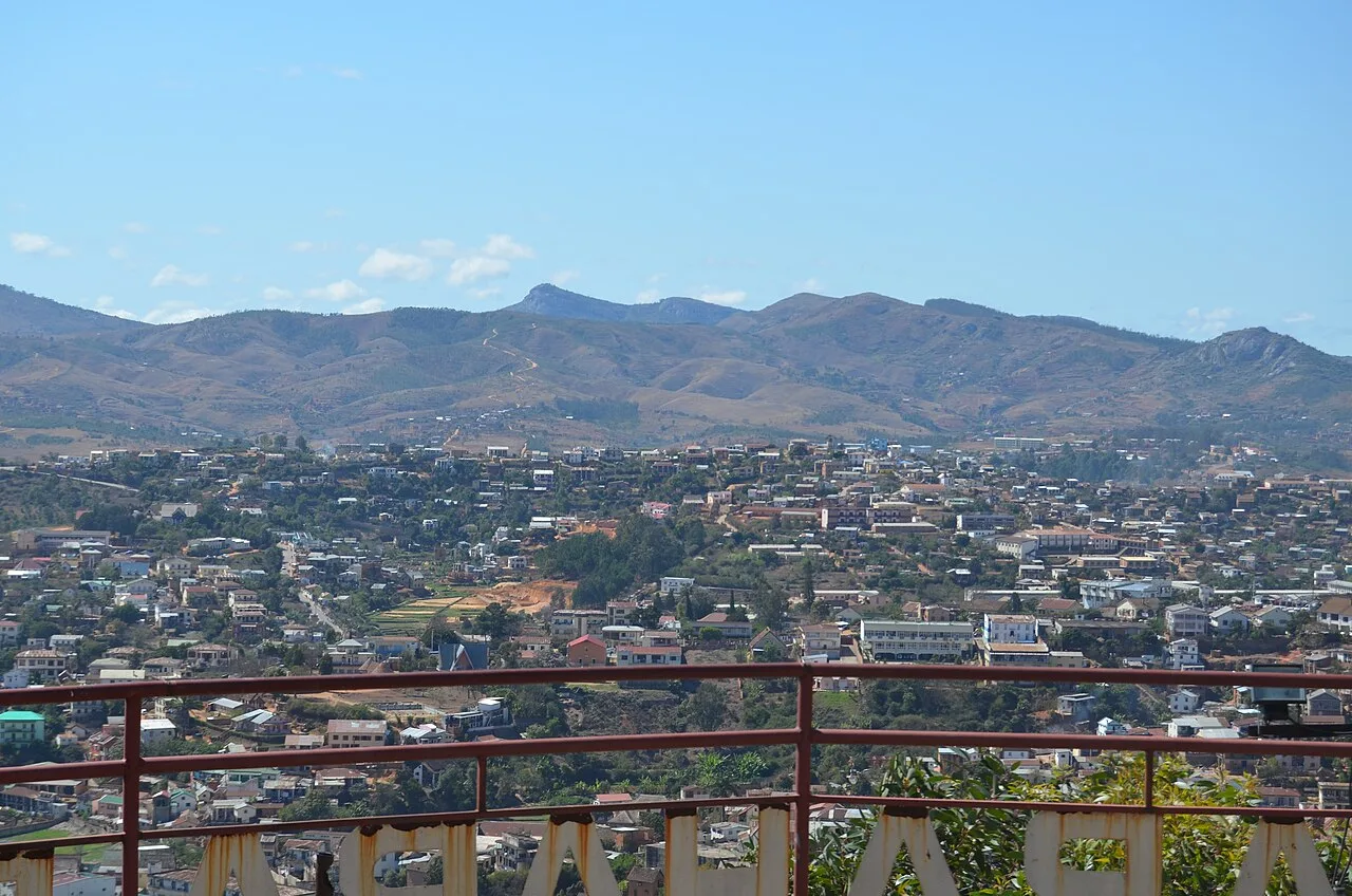
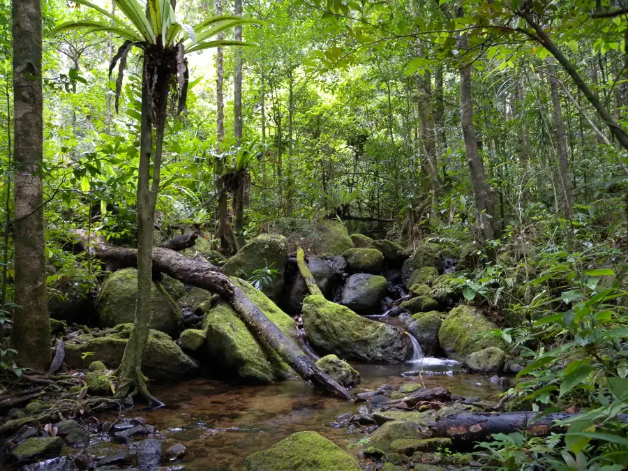
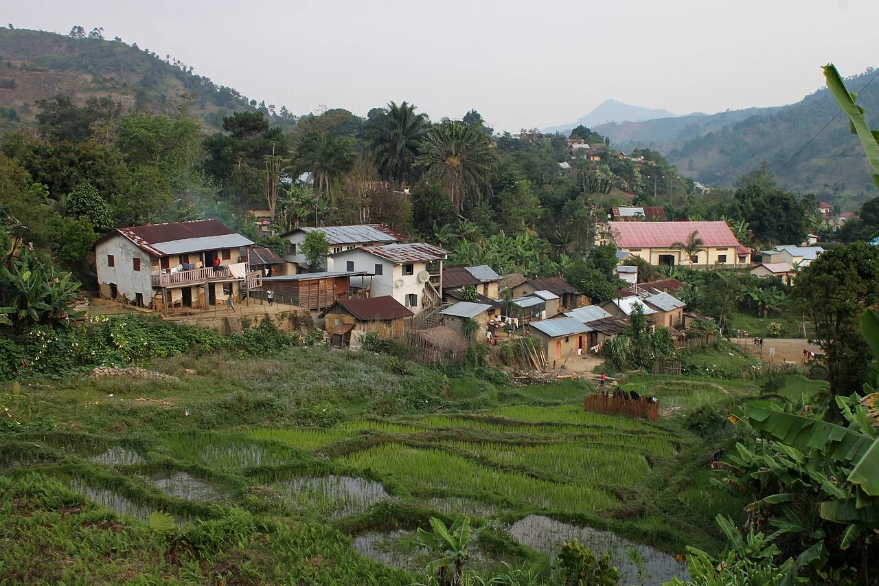
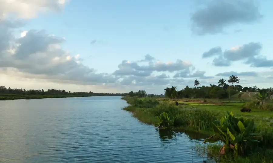
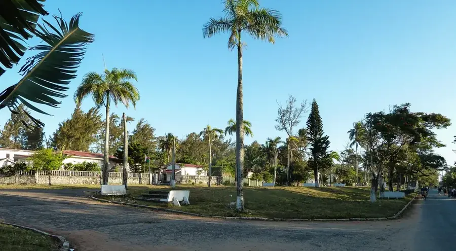
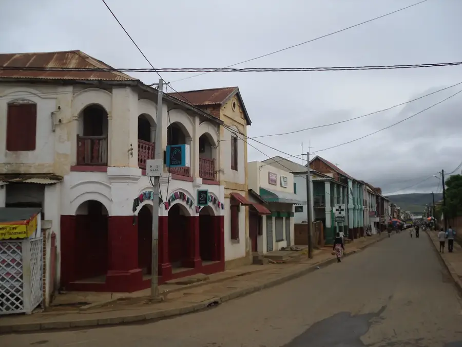
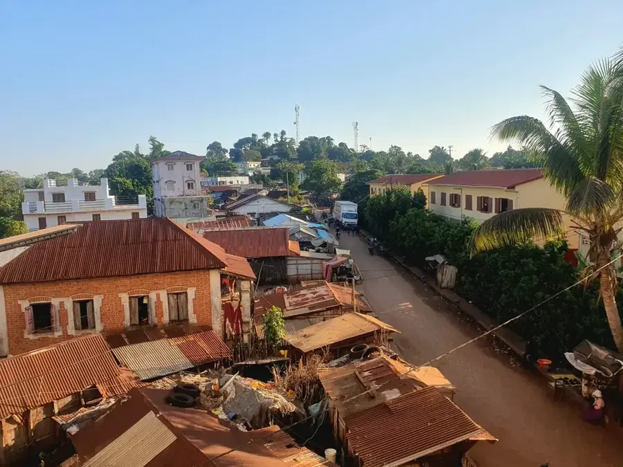
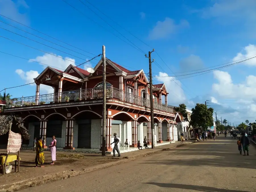
Nosy Varika is a remote coastal town in the Vatovavy region of eastern Madagascar. It is situated on a narrow strip of land between the Indian Ocean and the Canal des Pangalanes, near the mouth of the Sakaleona River. This unique geographical setting means that the town is primarily accessible by boat, which has helped it preserve its traditional and untouched atmosphere. Economically, Nosy Varika serves as an important hub for agricultural exports, specifically pepper, coffee, and cloves, as well as being a significant fishing center. Historically, it has been a stronghold for the Betsimisaraka people, whose lifestyle is intricately linked to the river and the sea. The nearby Sakaleona Falls, one of the tallest waterfalls in Madagascar, is a major natural landmark located within the dense surrounding rainforest. Despite the logistical challenges posed by its isolation, Nosy Varika plays a vital role in the regional economy of Vatovavy. The town features a rare glimpse into the slow-paced, traditional coastal life of Madagascar, where the water remains the primary highway.
- Location: Madagascar
- Nearby: Mananjary (52 km)
- Population: ~37.152 (2022)
Best time to visit & climate
The most pleasant time to visit is Jul–Sep.
| Jan | Feb | Mar | Apr | May | Jun | Jul | Aug | Sep | Oct | Nov | Dec | |
|---|---|---|---|---|---|---|---|---|---|---|---|---|
| Avg °C | 27 | 27 | 26 | 26 | 25 | 23 | 22 | 22 | 23 | 24 | 25 | 26 |
| Rain mm | 354 | 289 | 305 | 144 | 109 | 90 | 86 | 52 | 44 | 74 | 142 | 230 |
Geography
Facts
- Located on a narrow peninsula between the ocean and the Pangalanes Canal.
- Primarily accessible via water transport through the canal network.
- A major hub for the collection of pepper, coffee, and cloves.
- Gateway to the Sakaleona Falls, one of Madagascar's tallest waterfalls.
- Traditional cultural center for the local Betsimisaraka community.
- Economy relies heavily on artisanal fishing and spice cultivation.
Explore nearby
Notable places around
Route planner — Car & Motorhome
Where do you start? We build the route here, with stops and country notes along the way.
© OpenStreetMap contributors · OpenRouteService
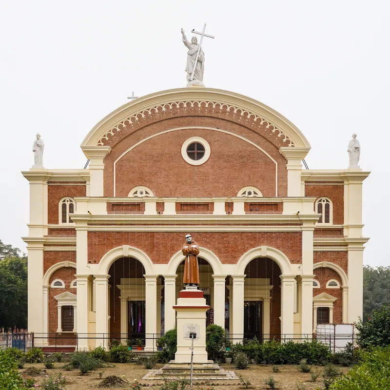
Sights in the town Nosy Varika (1)
Frequently asked questions
How many days in Nosy Varika?
When is good to visit?
How to get there?
Gastronomy?
Family-friendly?
Nosy Varika: where is it located?
Nosy Varika: when is the best time to visit?
Nosy Varika: why is it worth visiting?

Nearby cities
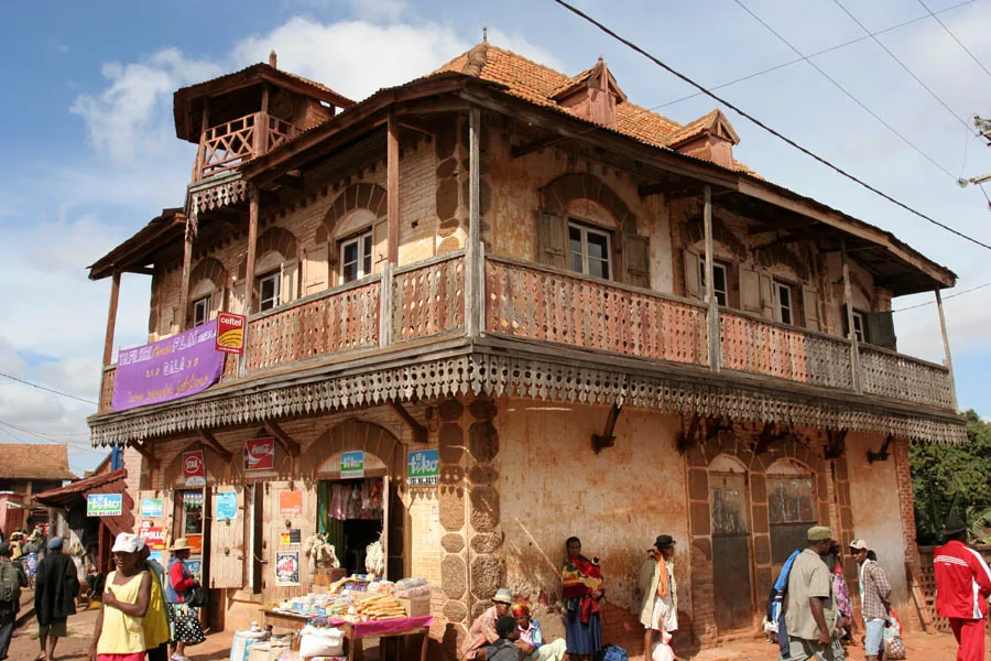


History & landmarks
More places