Plizio Visual Lab
Manakara
ℹ️Practical info — Manakara
▾
🌤 Weather — 5 days
📍 Nearby
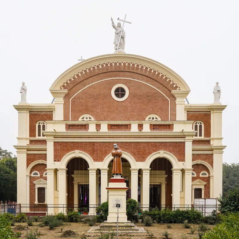
Sights nearby
💡 Tips
- If taking the FCE train, bring plenty of snacks and water, as delays are part of the adventure.
- Rent a traditional pirogue to explore the calm waters of the Pangalanes Canal.
- Bicycles are the best way to get around the flat, sandy streets.
- Try riding in a locally pulled rickshaw (pousse-pousse) for short distances.
- Ocean swimming is unsafe here; enjoy the beach for its views instead.
🍽 Food
Look for rustic riverside restaurants serving the day's catch.
Buy this traditional snack wrapped in banana leaves from street vendors.
A classic Malagasy stew with meat and greens, well-suited for lunch.
🛍 Shopping · 🧘 Quiet spots
Find fresh cloves, peppercorns, and vanilla at the bustling central market.
Colorful hand-woven bags are great souvenirs.
Walk across the historic colonial bridge over the river for great views.
Find a quiet spot away from the port to watch small boats glide by.
Water temperature…
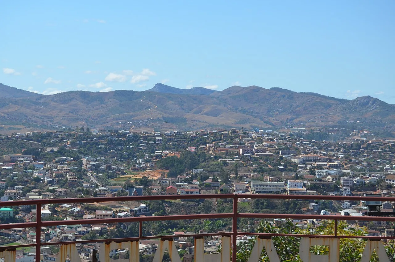
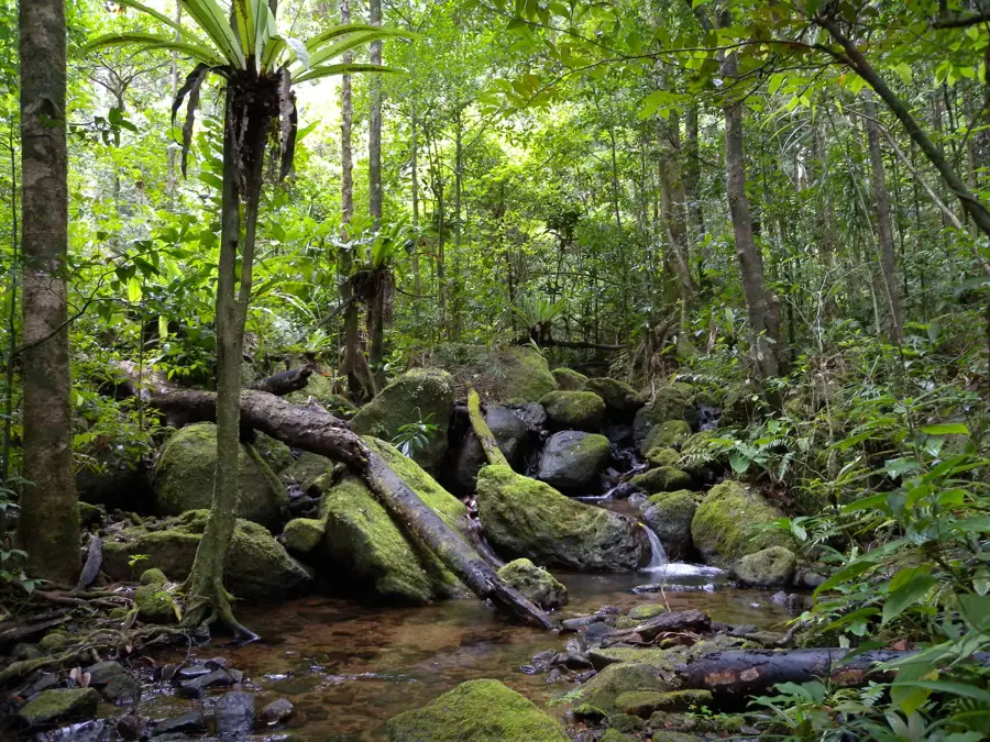
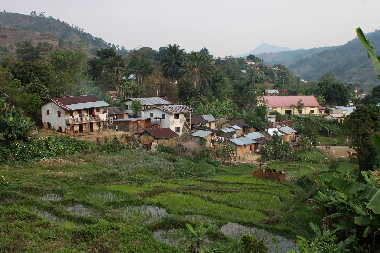
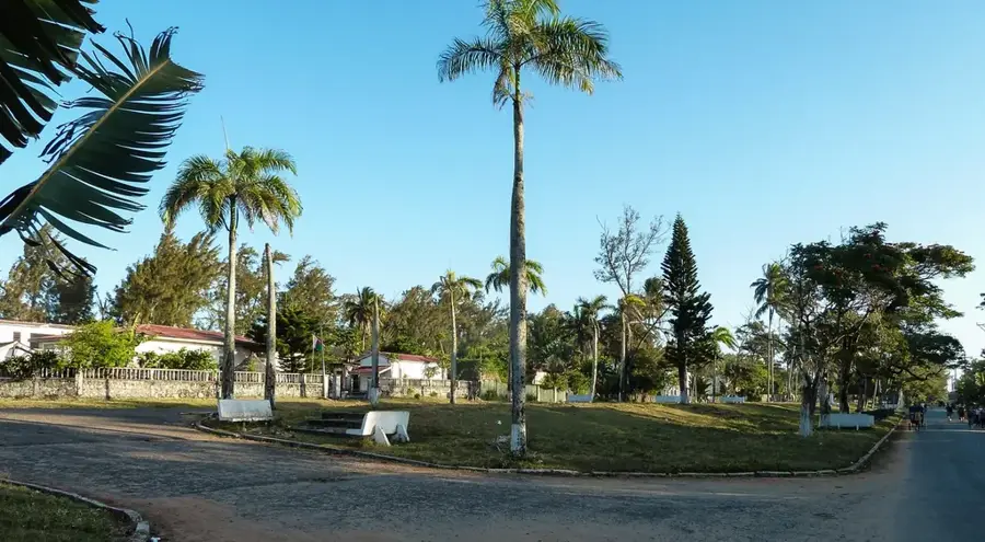
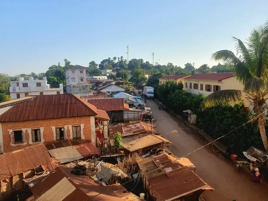
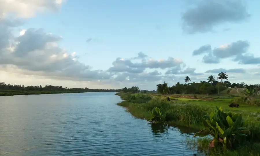
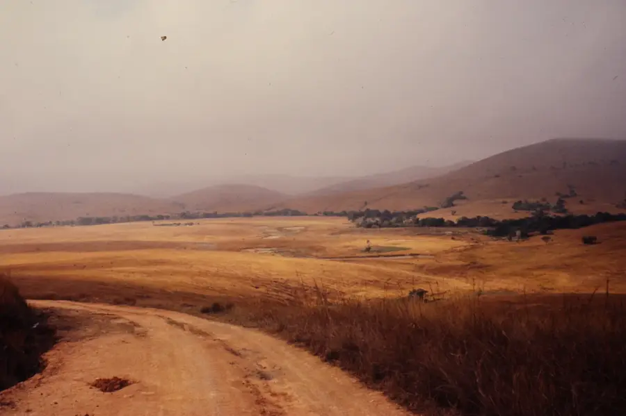
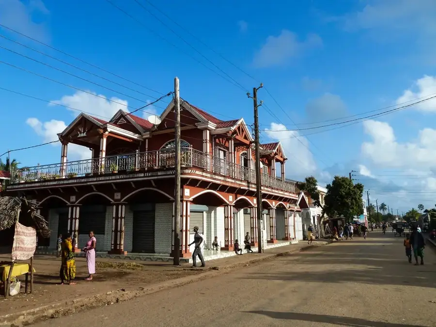
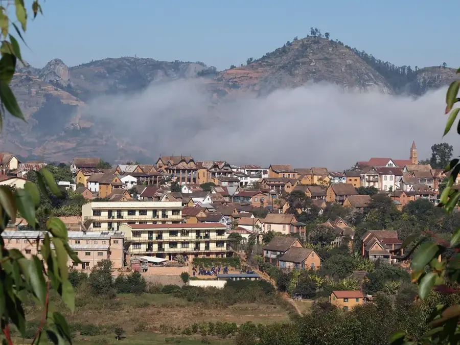
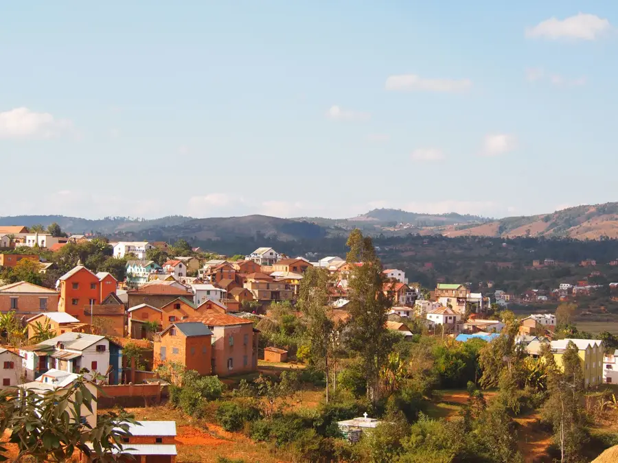
Manakara is a welcoming port city on the southeastern coast of Madagascar and the administrative capital of the Vatovavy region. The city is best known as the terminus of the famous FCE (Fianarantsoa-Côte Est) railway line, which connects the central highlands to the coast and serves as a lifeline for isolated communities along its route. Manakara is situated at the mouth of the Manakara River on the Indian Ocean and is bisected by the historic Pangalanes Canal, a major inland waterway. Its economy centers on the export of agricultural goods such as coffee, lychees, and various spices. Historically, Manakara was a significant colonial outpost, a heritage visible in the architecture of its old villas and government buildings. Geographically, the town is split into two main areas: the modern administrative district and the seaside 'Manakara-Be' section, famous for its expansive beaches. The humid tropical climate ensures lush vegetation year-round. For visitors, the town has a unique blend of rail history, scenic river lagoons, and a relaxed colonial-era atmosphere.
- Location: Madagascar
- Top sights: Fitovinany · Manakara-Atsimo District
- Nearby: Vohipeno (26 km)
- Population: ~46.850 (2026)
Best time to visit & climate
The most pleasant time to visit is Jul–Sep.
| Jan | Feb | Mar | Apr | May | Jun | Jul | Aug | Sep | Oct | Nov | Dec | |
|---|---|---|---|---|---|---|---|---|---|---|---|---|
| Avg °C | 27 | 27 | 27 | 26 | 24 | 23 | 22 | 22 | 23 | 24 | 25 | 27 |
| Rain mm | 255 | 213 | 225 | 102 | 70 | 53 | 46 | 24 | 24 | 48 | 88 | 149 |
Geography
Facts
- Manakara is the final destination of the 163 km long FCE railway.
- The Pangalanes Canal serves as a major internal navigation route through the city.
- A historic bridge in the city accommodates both train and vehicular traffic.
- The town is divided into Manakara-Ville and the seaside Manakara-Be.
- It is a significant hub for the seasonal export of lychees and coffee.
- The local airport (MNK) provides air links to the capital.
Explore nearby
Notable places around
Route planner — Car & Motorhome
Where do you start? We build the route here, with stops and country notes along the way.
© OpenStreetMap contributors · OpenRouteService
Sights in the town Manakara (2)
Frequently asked questions
How many days to spend in Manakara?
Best time?
How to get to Manakara?
Gastronomy?
Family-friendly?
Manakara: where is it located?
Manakara: what is there to see?
Manakara: when is the best time to visit?
Manakara: why is it worth visiting?

Nearby cities
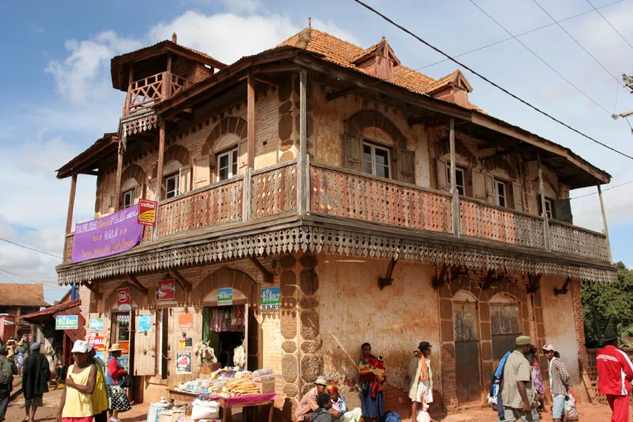
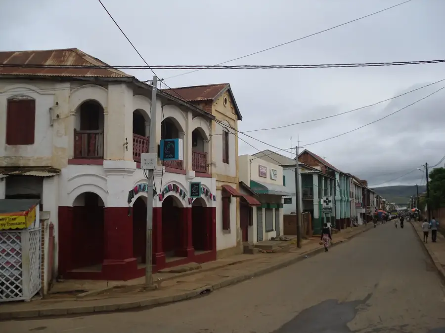

History & landmarks
More places